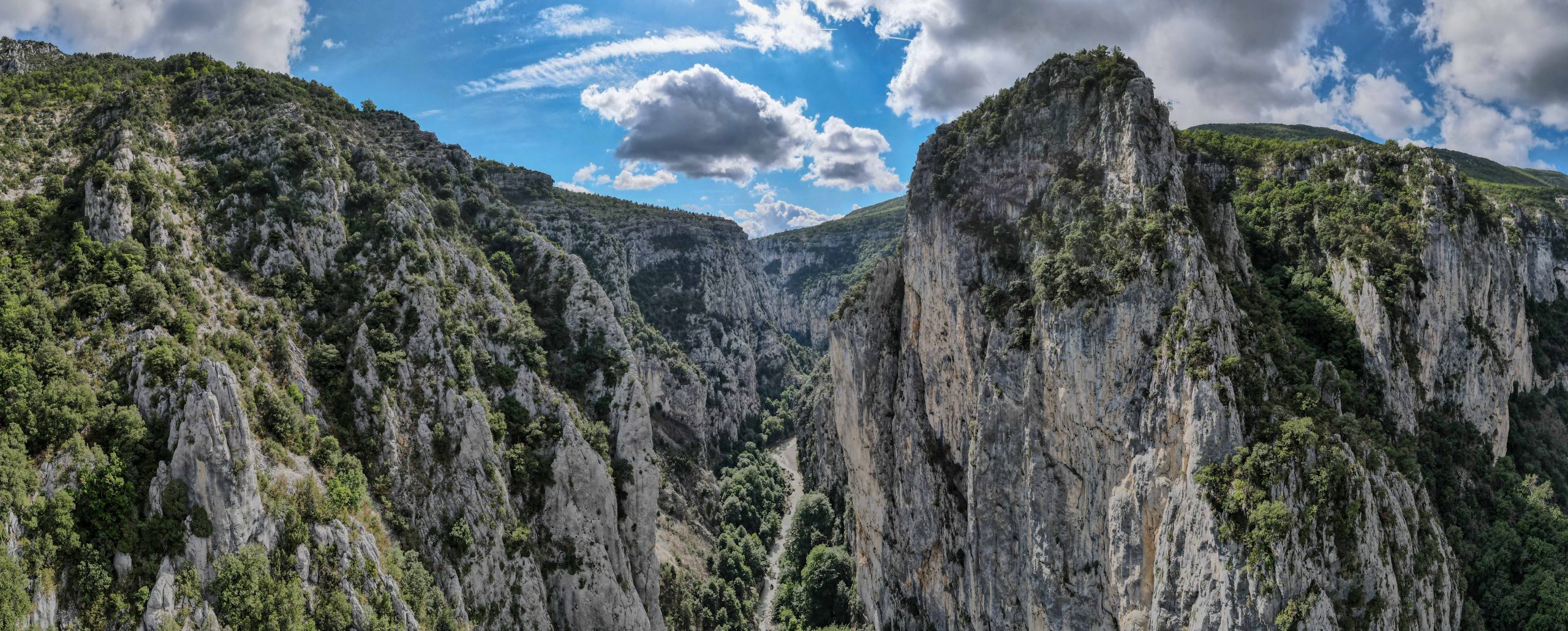
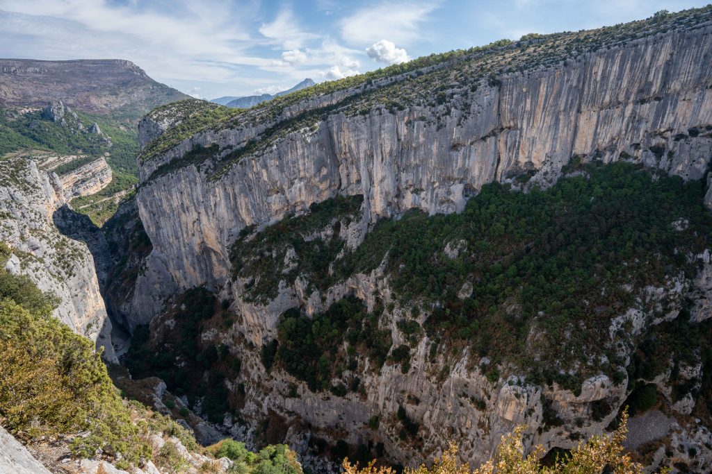
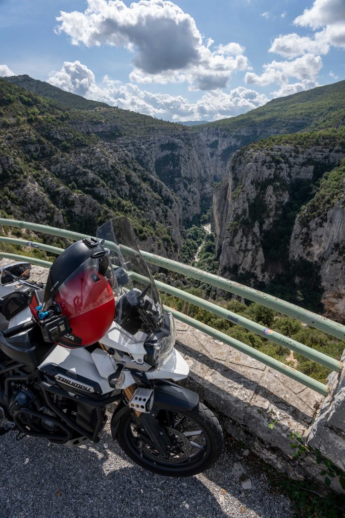
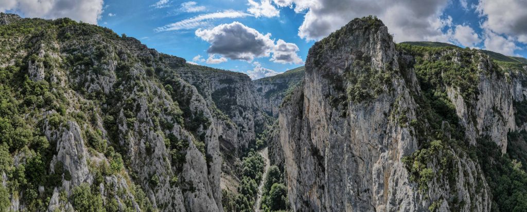
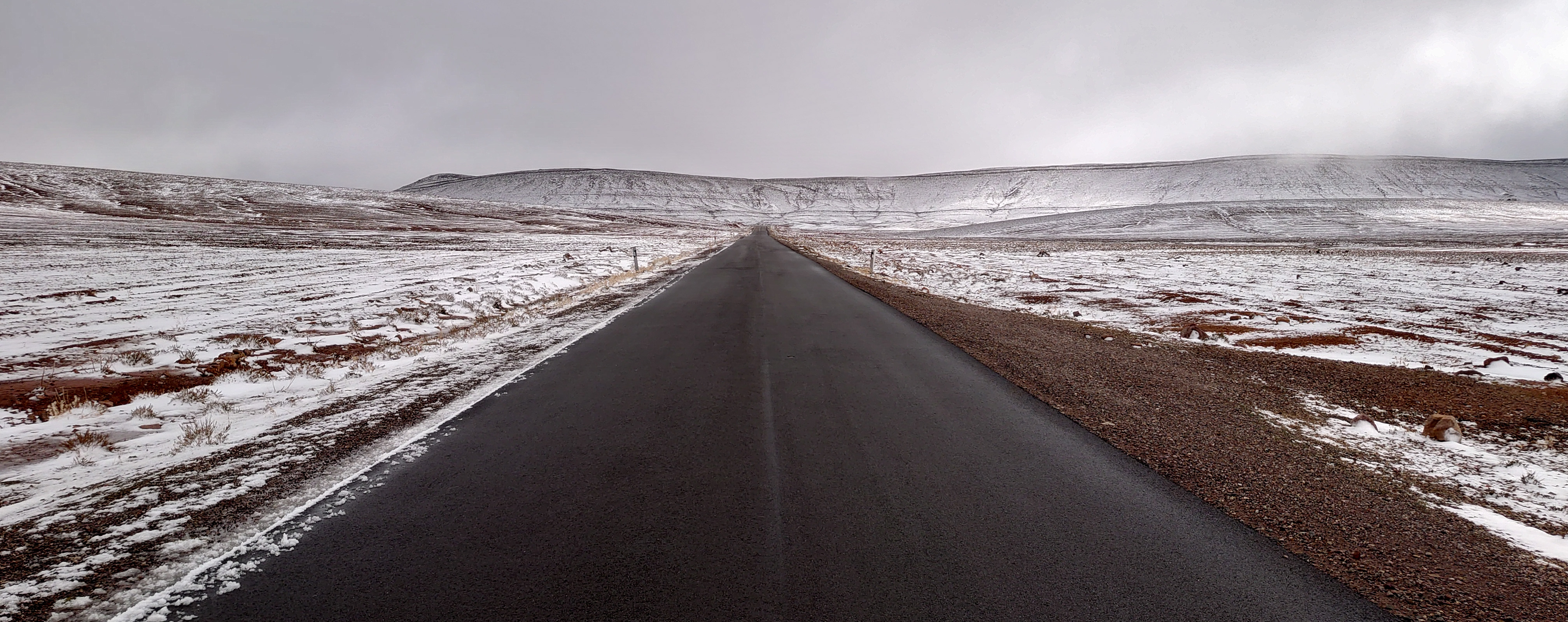
This Epic Ride takes place over a river canyon located in the Provence-Alpes-Côte d’Azurregion of Southeastern France. It is about 25km long and up to 700m deep. It was formed by the Verdon River. The road runs around the rim of the canyon allowing for fantastic views, curved roads and many tunnels.
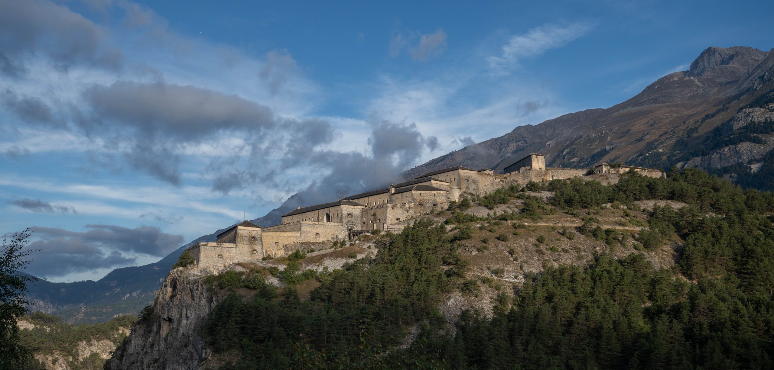
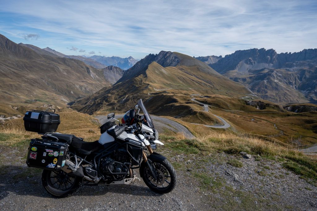
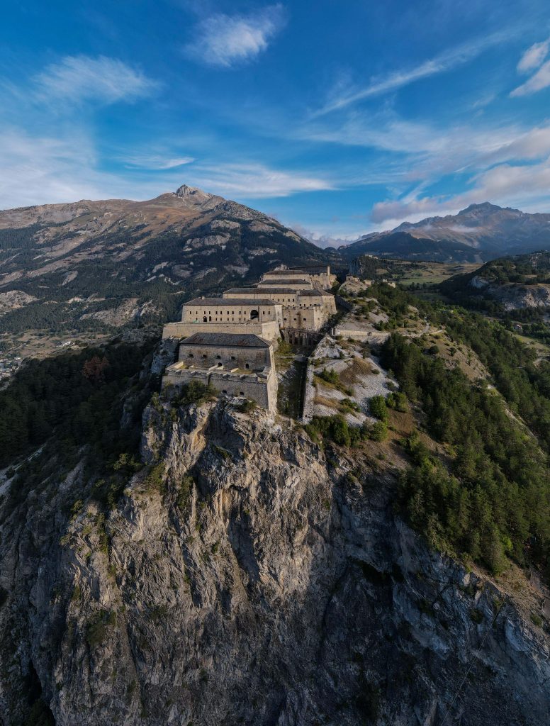
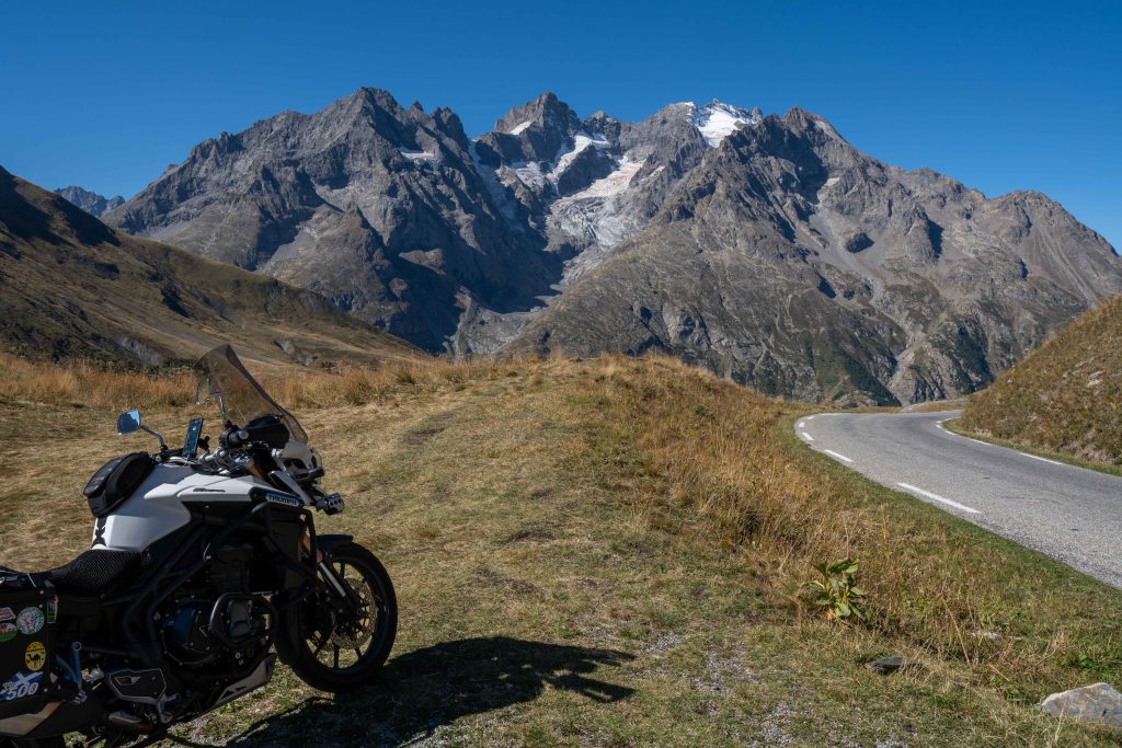
This Epic Ride takes place over a number of mountain passes in the French Alps from Lake Geneva down to the coastline of the French Riviera on the Mediterranean Sea.
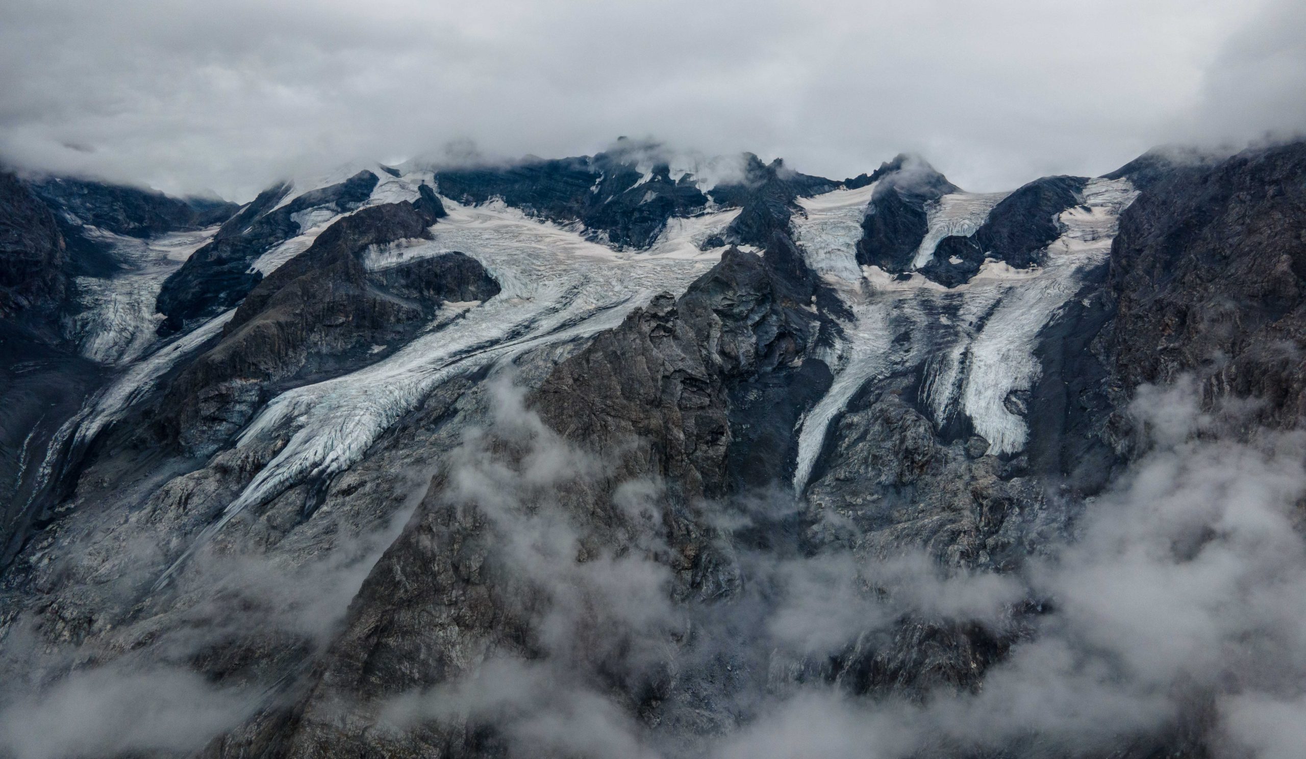
This Epic Ride takes place on the Stelvio Pass, over the The Alps in Italy and Switzerland. At an elevation of 2,757 m (9,045 ft) above sea level. It is the highest paved mountain pass in the Eastern Alps, and the second highest in the Alps, 7 m (23 ft) below France’s Col de l’Iseran (2,764 m (9,068 ft)). The pass is part of the Stelvio National Park, which is the largest in the Italian Alps. It was established in 1935, and covers the Ortles-Cevedale massif, as well as some minor chains that flank it. Wildlife in the park include deer, chamois, ibex, and wolves.
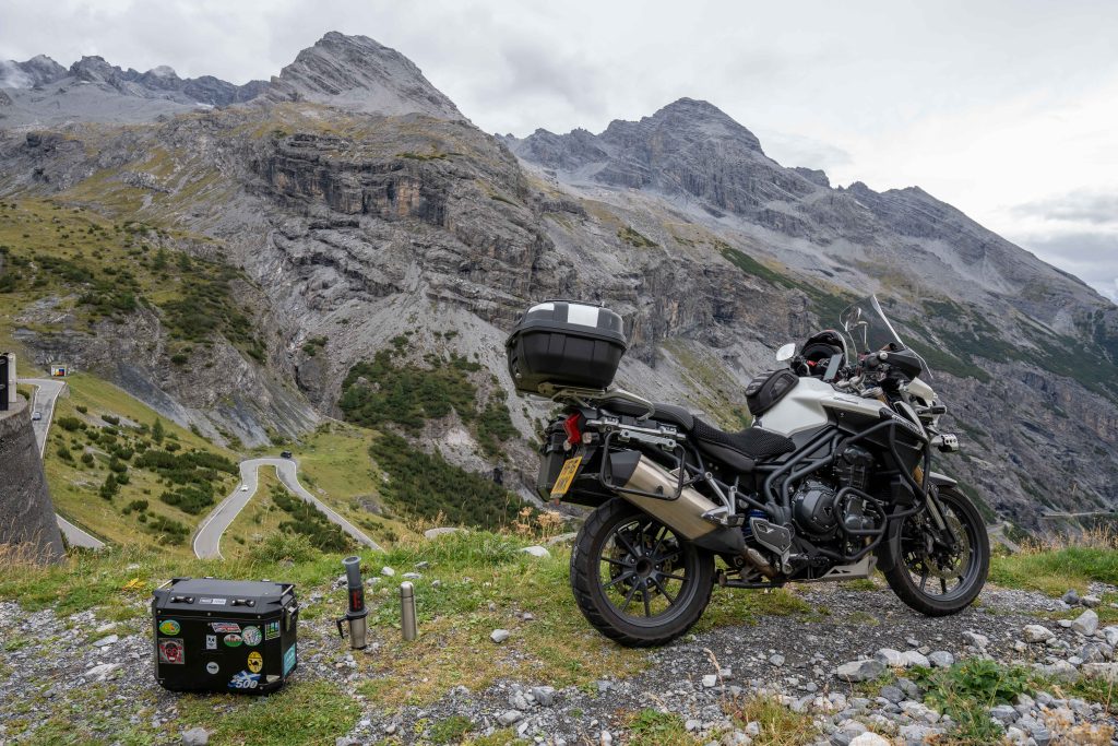
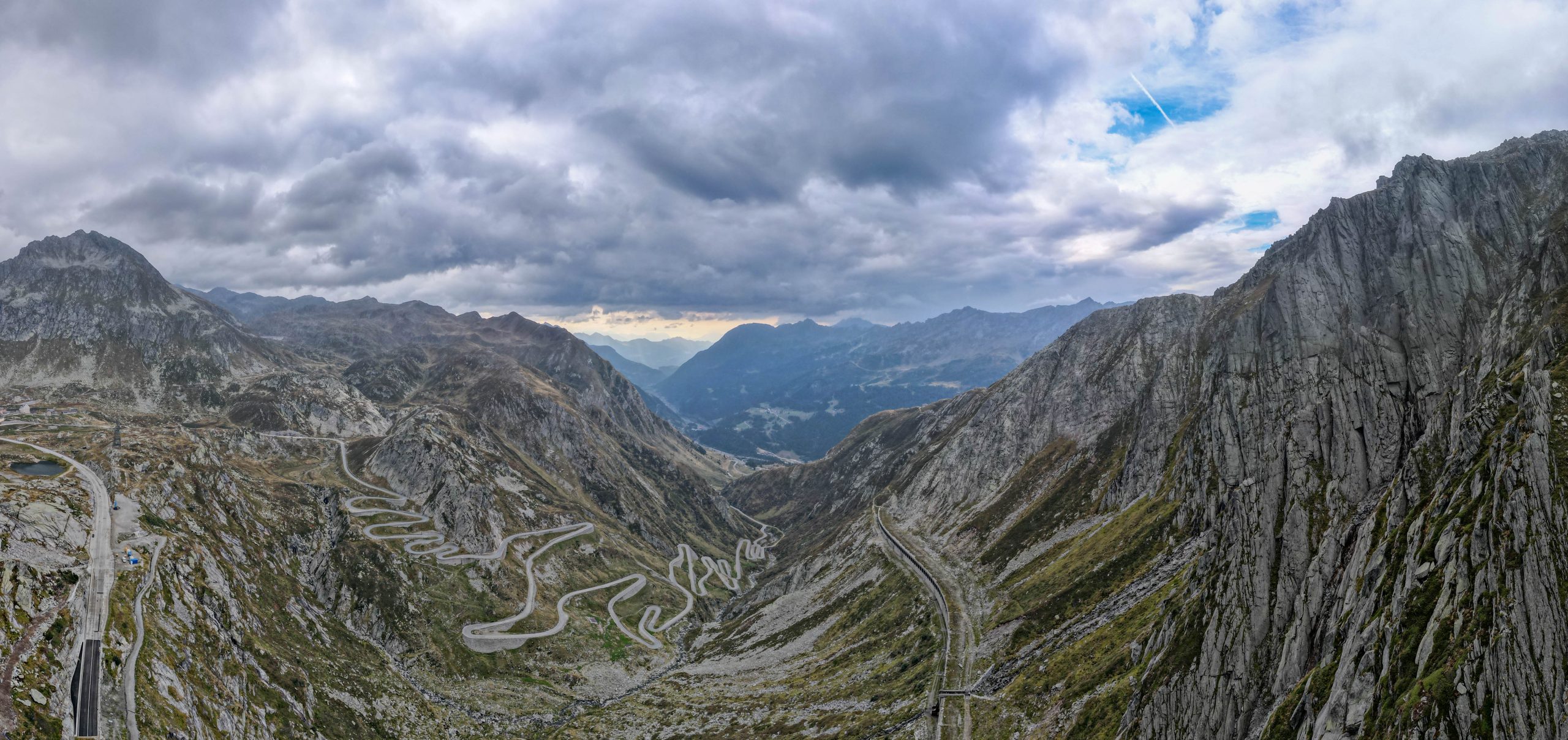
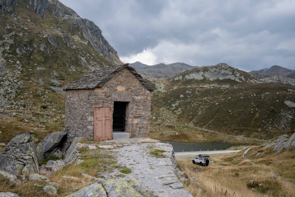
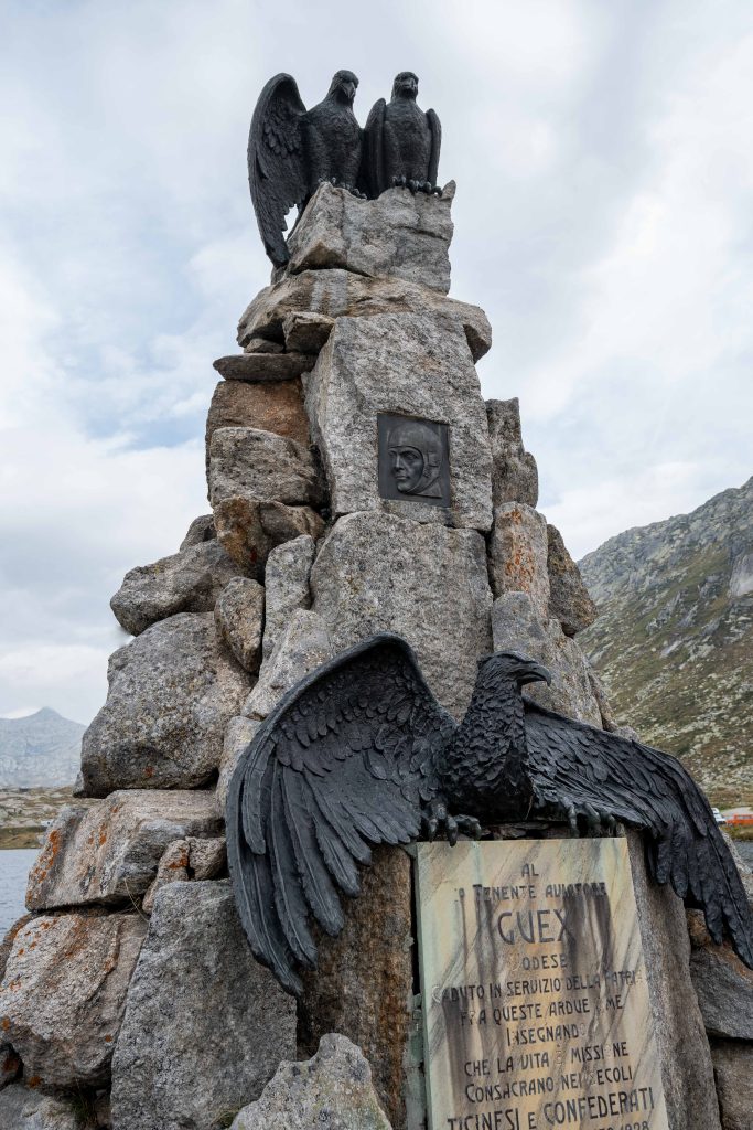
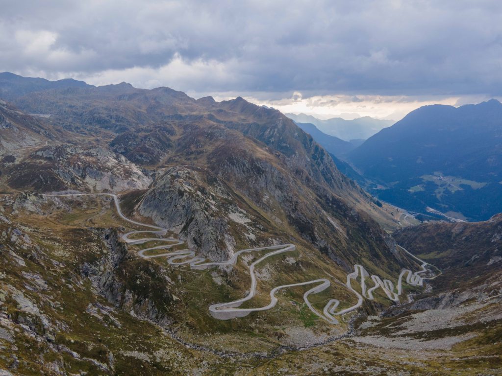
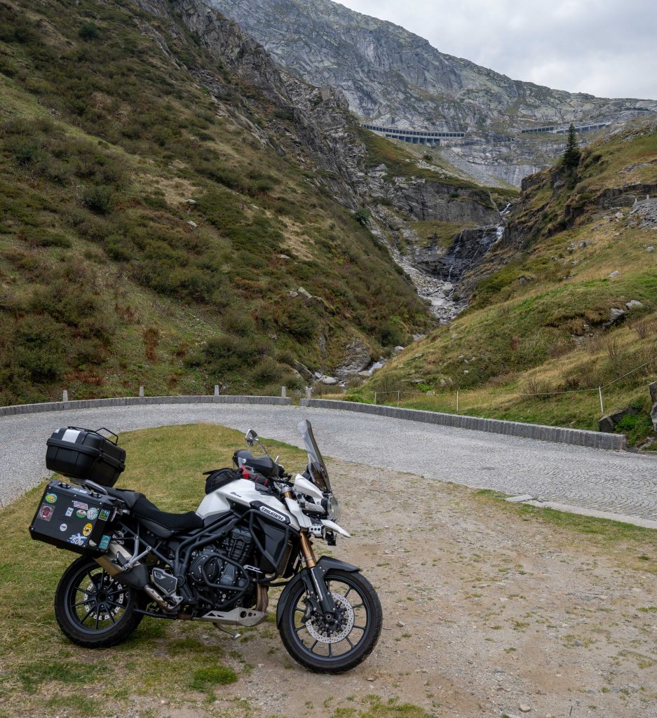
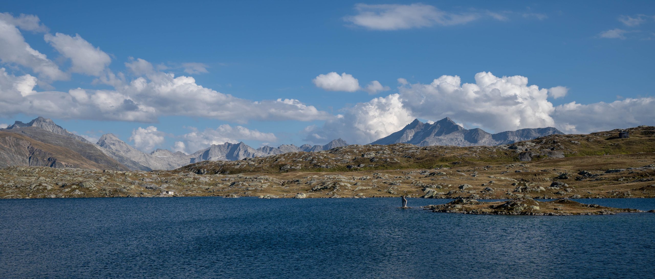
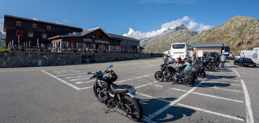
This Epic Ride takes place on the Gotthard Pass, over the The Alps in Switzerland. The Gotthard Pass lies on the main watershed of the Gotthard massif, a massif lying at the heart of the Swiss Alps, between the cantons of Valais, Ticino, Grisons and Uri. The pass itself is the lowest point between the summits of Pizzo Lucendro (west) and Pizzo Centrale (east). It connects the cantons of Uri (north) and Ticino (south), its summit (2,106 metres (6,909 ft), indicated by a road sign) being located in the latter canton, about 2 km south of the border with Uri. The valleys connected by the pass are that of the river Reuss, named the Urseren, and that of the river Ticino, named Valle Leventina. The Gotthard axis is the most important route between Central Switzerland as well as most of the northern part of the country and the southern region of Ticino. It is the most direct link between Zürich and Lugano and also between some regions of northern Europe and Italy
Tremola San Gottardo, located in the Canton of Ticino, is the longest road monument in Switzerland. It connects the municipality of Airolo to the Gotthard Pass. One of the highest paved roads in Europe, located on the left side of the Val Tremola, it was constructed with the opening of the roadway of the Gotthard Pass. In its most important stretch, over a length of four kilometers it climbs a height of 300 meters in 24 hairpin bends. It is the old road that connects to the Gotthard Pass, and is well worth the ride.
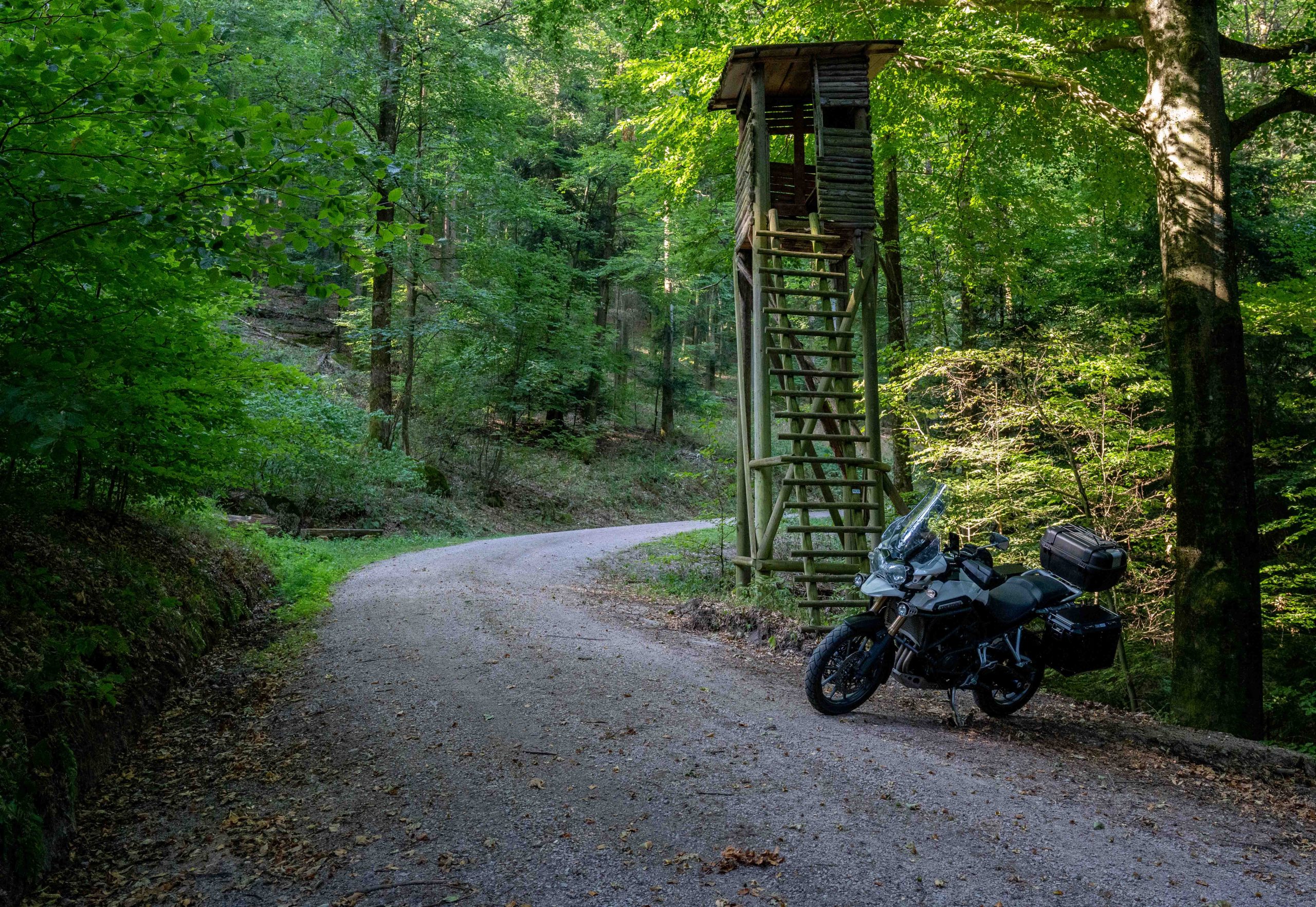
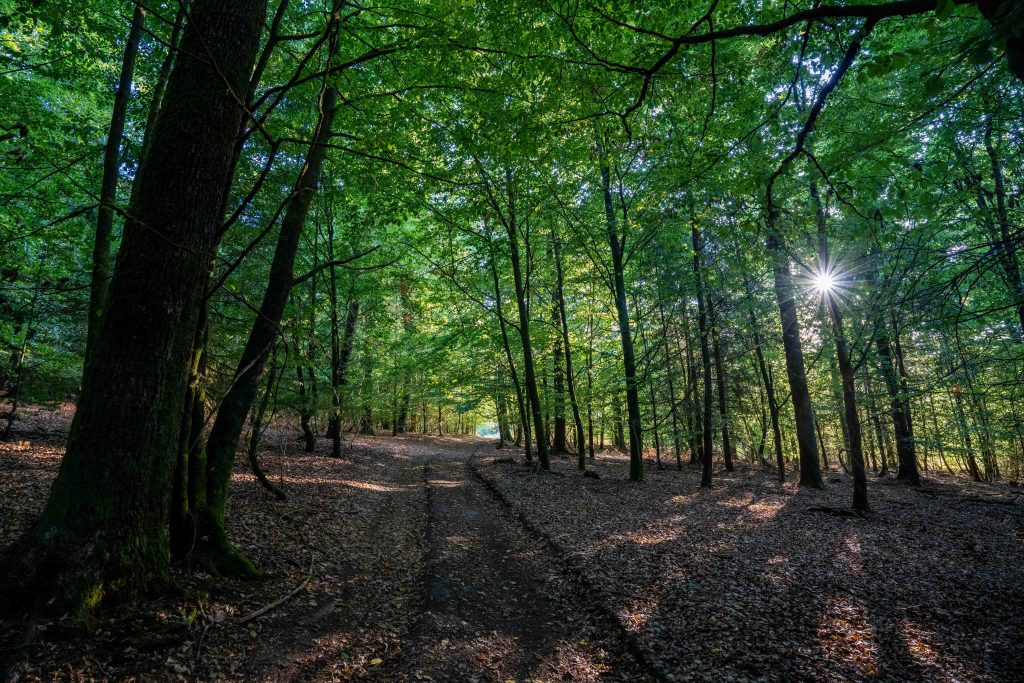
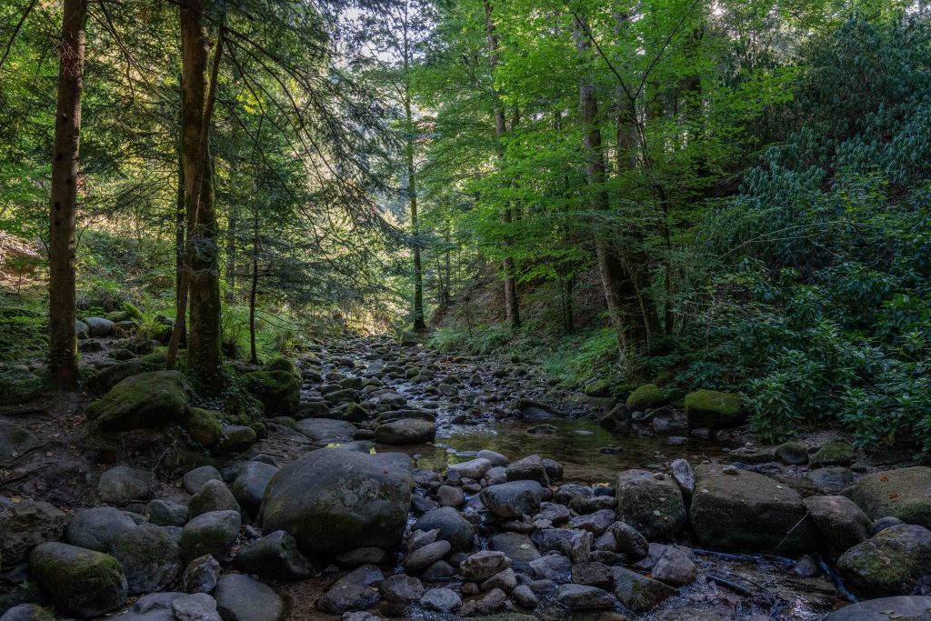
This Epic Ride takes place in the largest low mountain range in Germany, The Black Forest. This densely forested area, located in the state of Baden-Württemberg, on the Rhine and the French border. Geologically, it is related to the Vosges Mountains with the highest peak being the Feldberg with a height of 1493m.
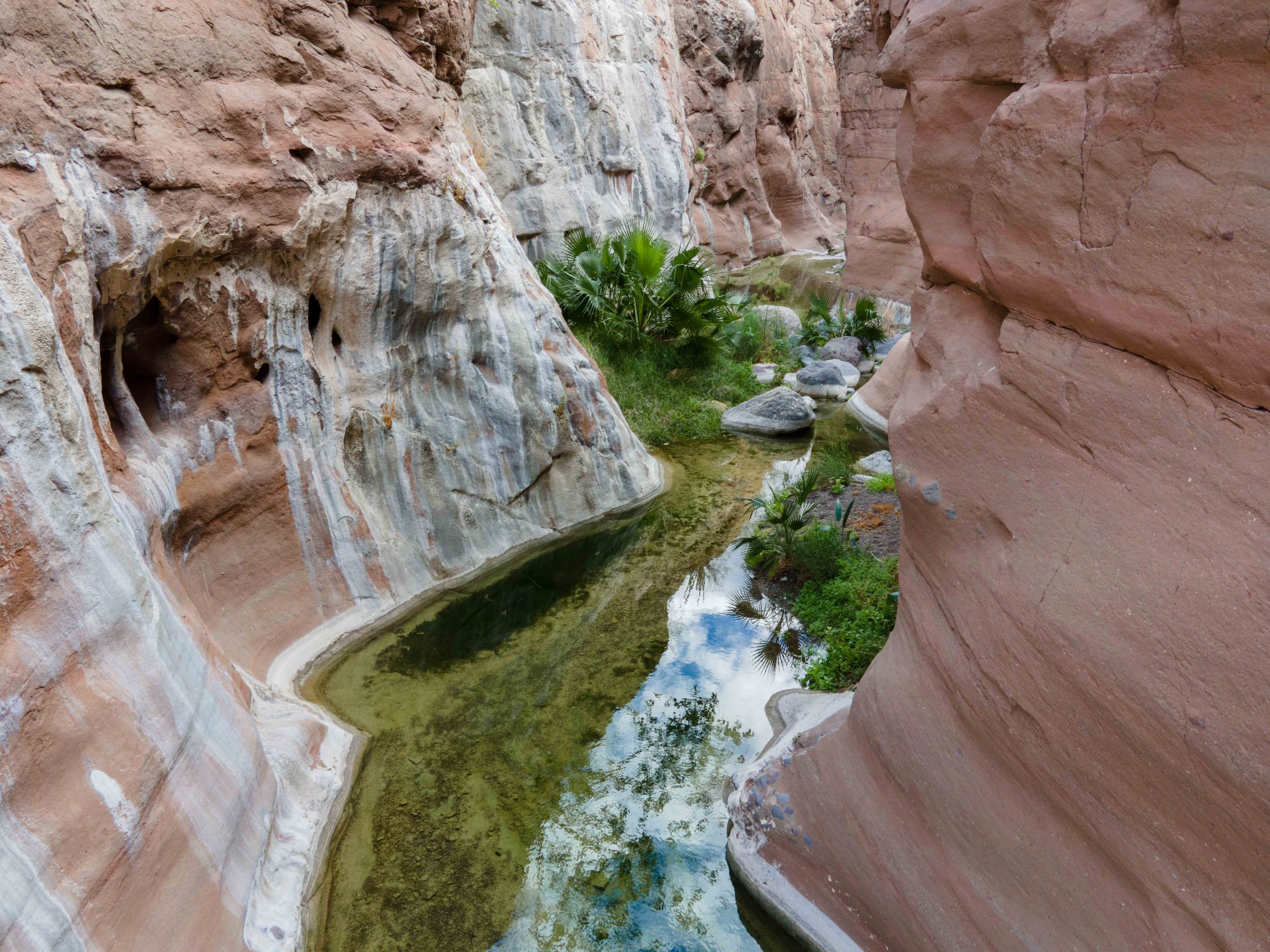
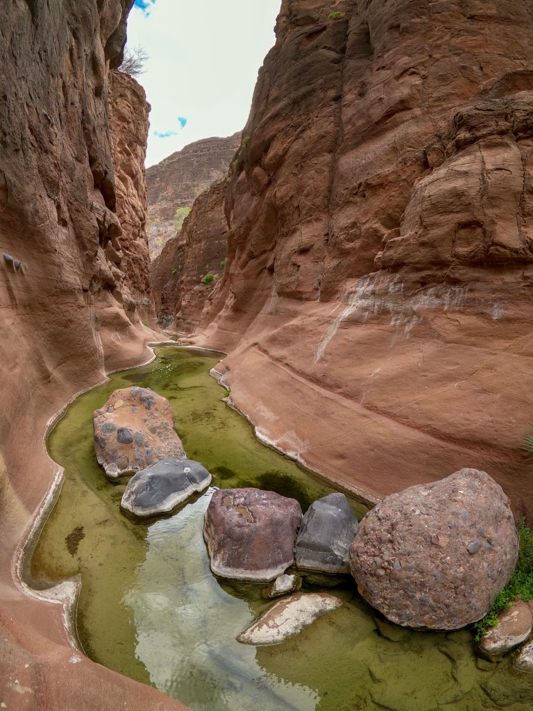
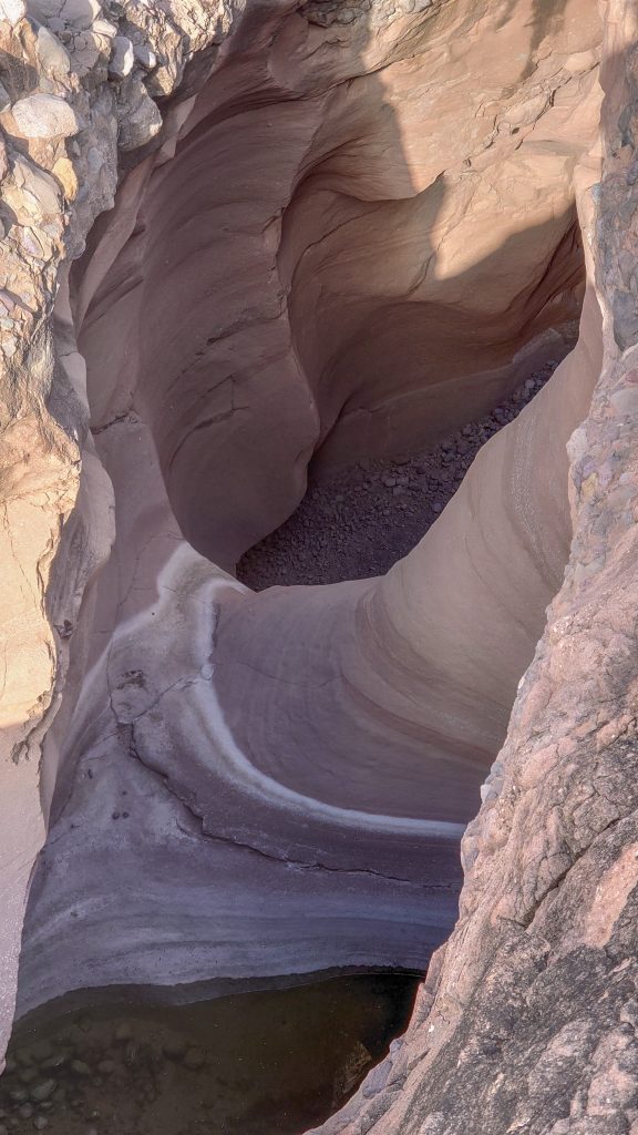
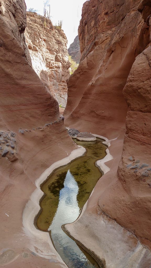
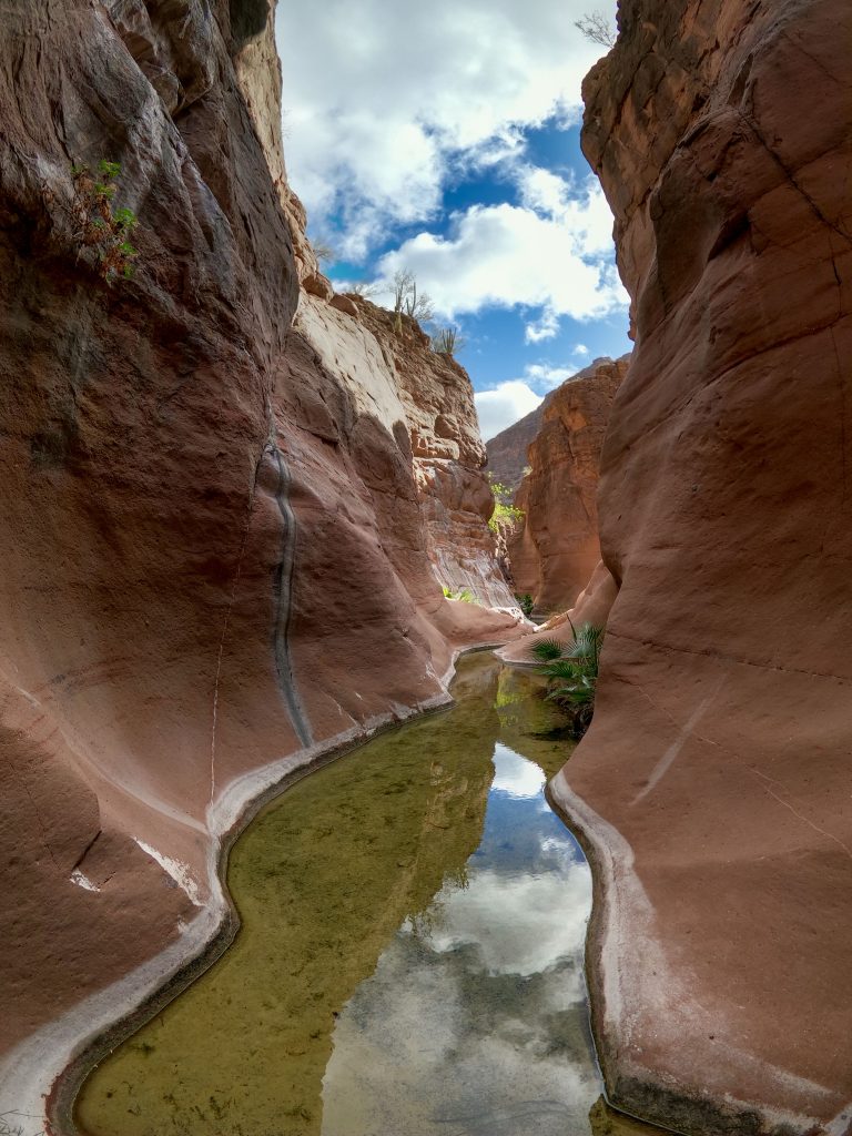
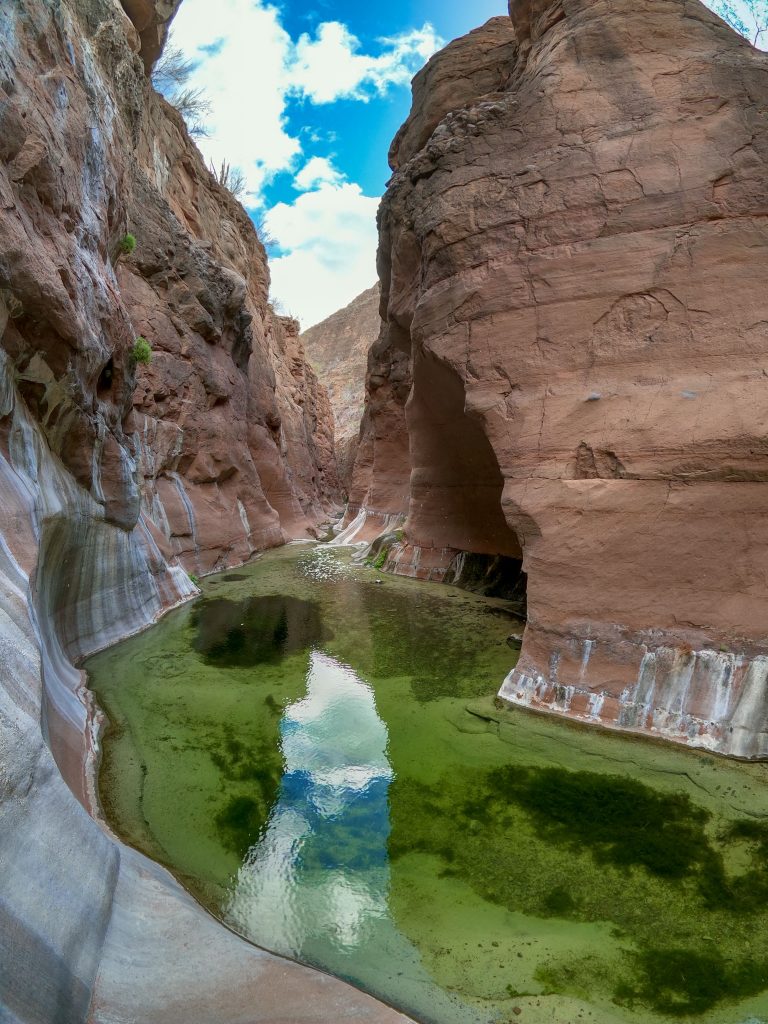
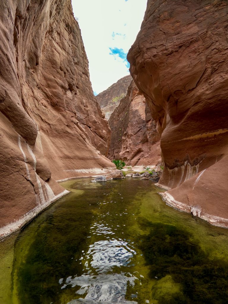
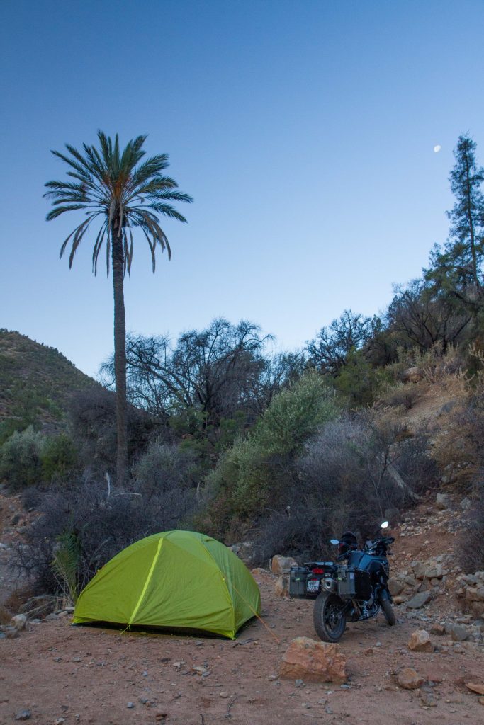
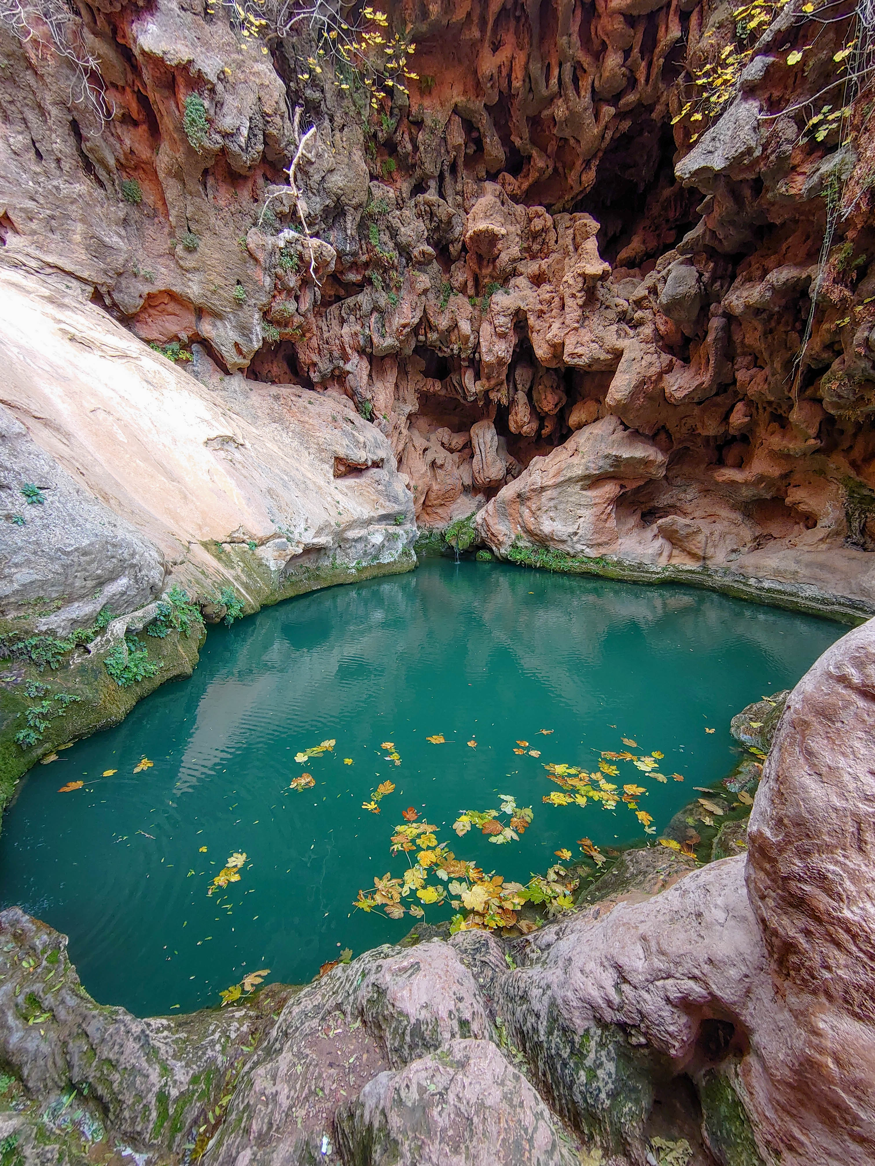
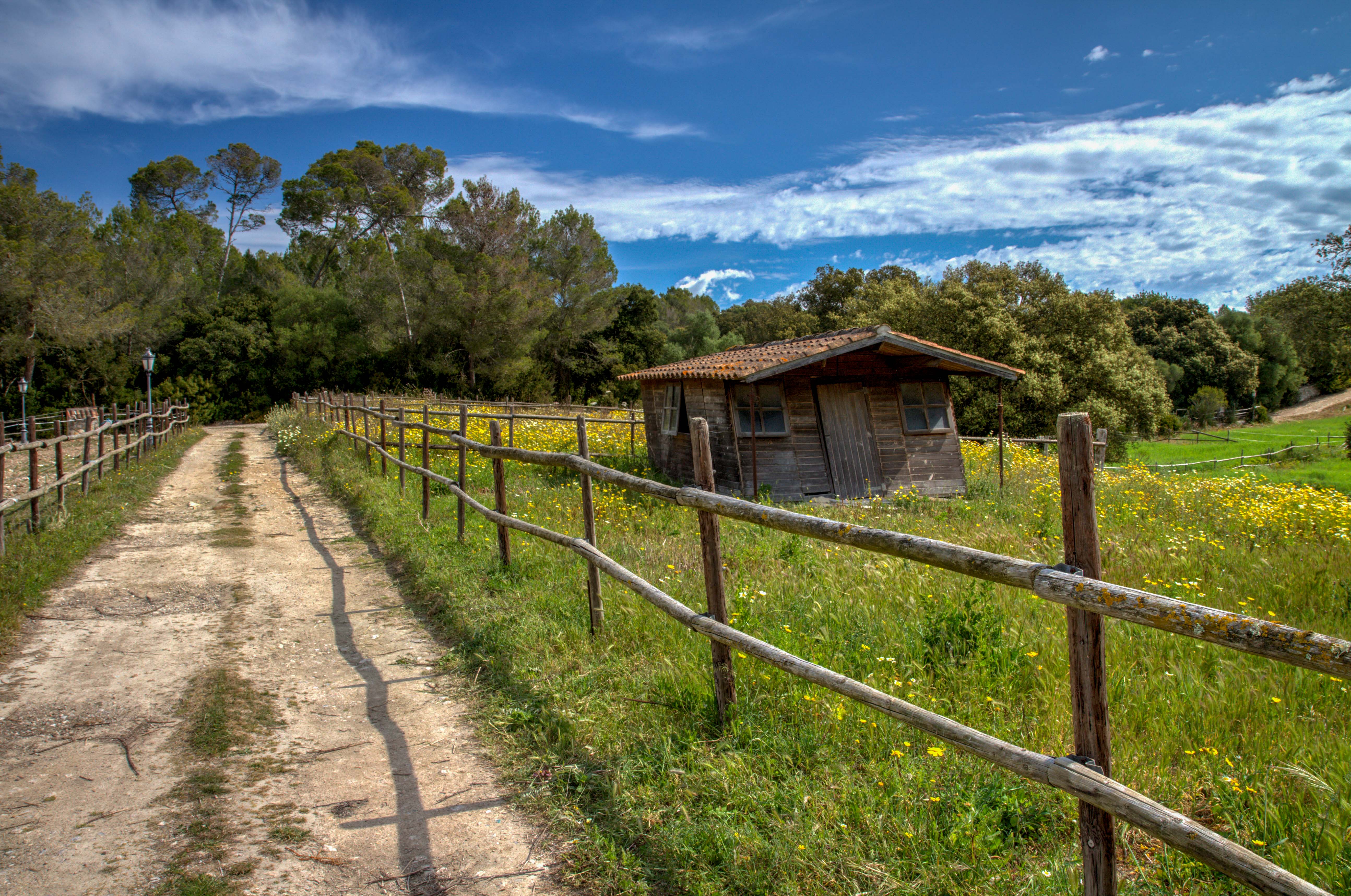
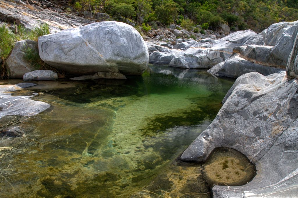
Located about an hour south of Loreto, Baja California Sur lies this remote, beautiful canyon. It is difficult to find as you need to pass through some fences. But it is totally worth to effort.
Best option is to follow the map co-ordinates below. Set your map application to satellite view and find the dirt road that leads into the canyon. The road is rough, but eventually you can make your way right up to the entrance of the canyon.
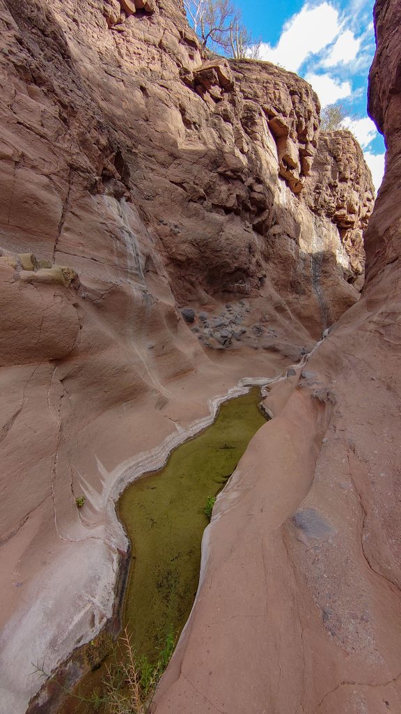
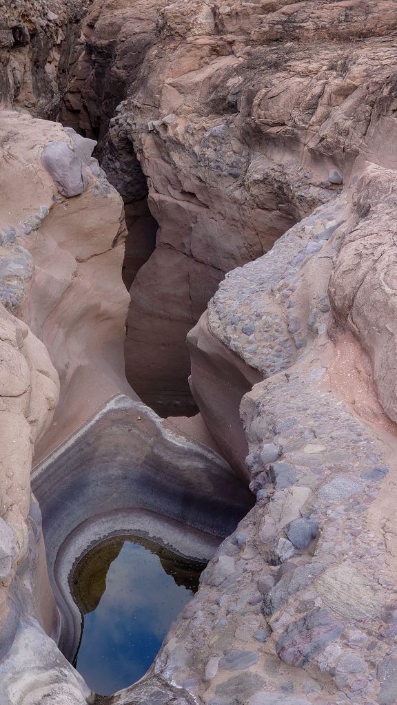
View Larger MapMesquite Canyon, Baja California Sur, MexicoMesquite Canyon, Baja California Sur, MexicoMesquite Canyon, Baja California Sur, Mexico
CANYON FLY THROUGH
Mesquite Canyon, Baja California Sur, MexicoMesquite Canyon, Baja California Sur, MexicoMesquite Canyon, Baja California Sur, MexicoMesquite Canyon, Baja California Sur, MexicoMesquite Canyon, Baja California Sur, Mexico
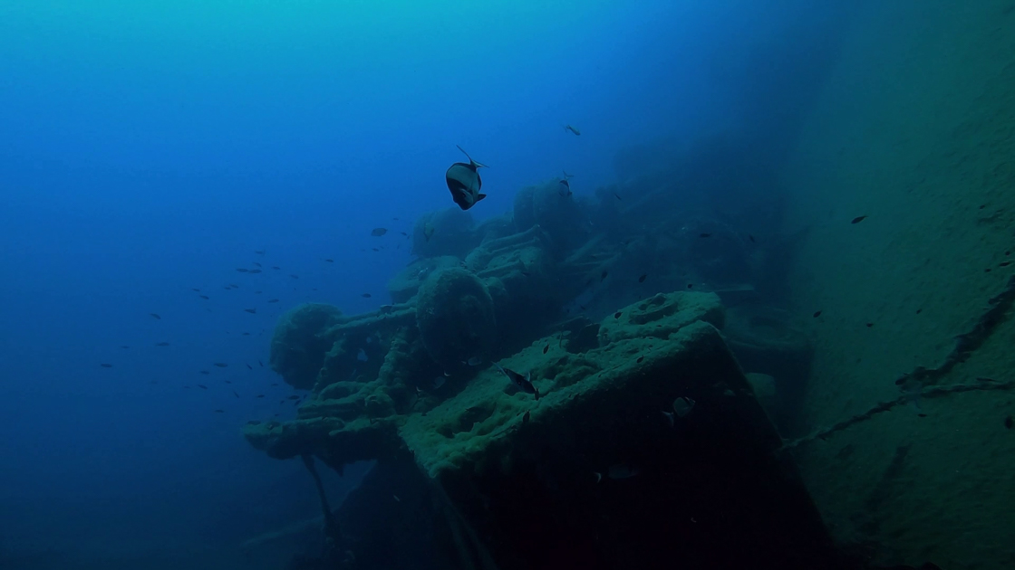
MS Zenobia was a Swedish-built Challenger-class RO-RO ferry launched in 1979 that capsized and sank in the Mediterranean Sea, close to Larnaca, Cyprus, in June 1980 on her maiden voyage. She now rests on her port side in approximately 42 meters (138 ft) of water and was named by The Times, and many others, as one of the top ten wreck diving sites in the world.
Rated one of the top ten wrecks dives in the world, the Zenobia is a real treat for experienced diver. The Zenobia lies on her port side with 108 articulated lorries which can still be seen alongside the wreck. MS Zenobia was a Swedish built Challenger-class RO-RO ferry launched in 1979 that capsized and sank in the Mediterranean sea, close to Larnaca, Cyprus, in June 1980 on her maiden voyage.
The seabed is at 42m and the highest point is at 16m with visibility reaching 40m. Few currents and warm water it makes an ideal site for all qualified divers. Whether it is your first wreck dive or you want a series of penetration dives, Zenobia is a great choice.
The marine life in and around the wreck is unique in Cyprus. Nowhere else will you get the chance to see grouper, barracuda, tuna, turtle and triggerfish… the list of marine life is endless and all at the same dive site. Outside of the Zenobia you can see a variety of fish from large Groupers to barracudas and tiny Damselfish. If you look closely you may also see tiny Pink Flabellina nudibranchs that make the Zenobia their home.
The trucks and their cargo have never been salvaged, and are now lying on the seabed and still chained to the decks for you to see. Source
Weather: Spring – Peak season | Summer – Scorching heat | Autumn | Mid season | Winter – Lovely Day temps, Cold at night (around 6 degrees)
Highlights
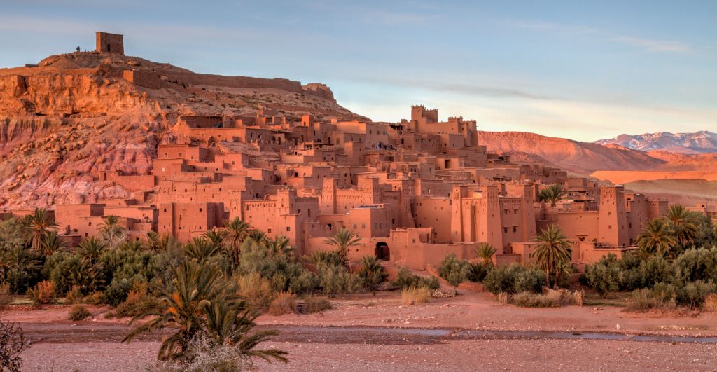
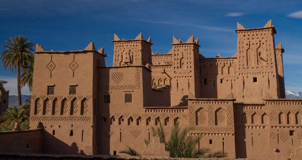
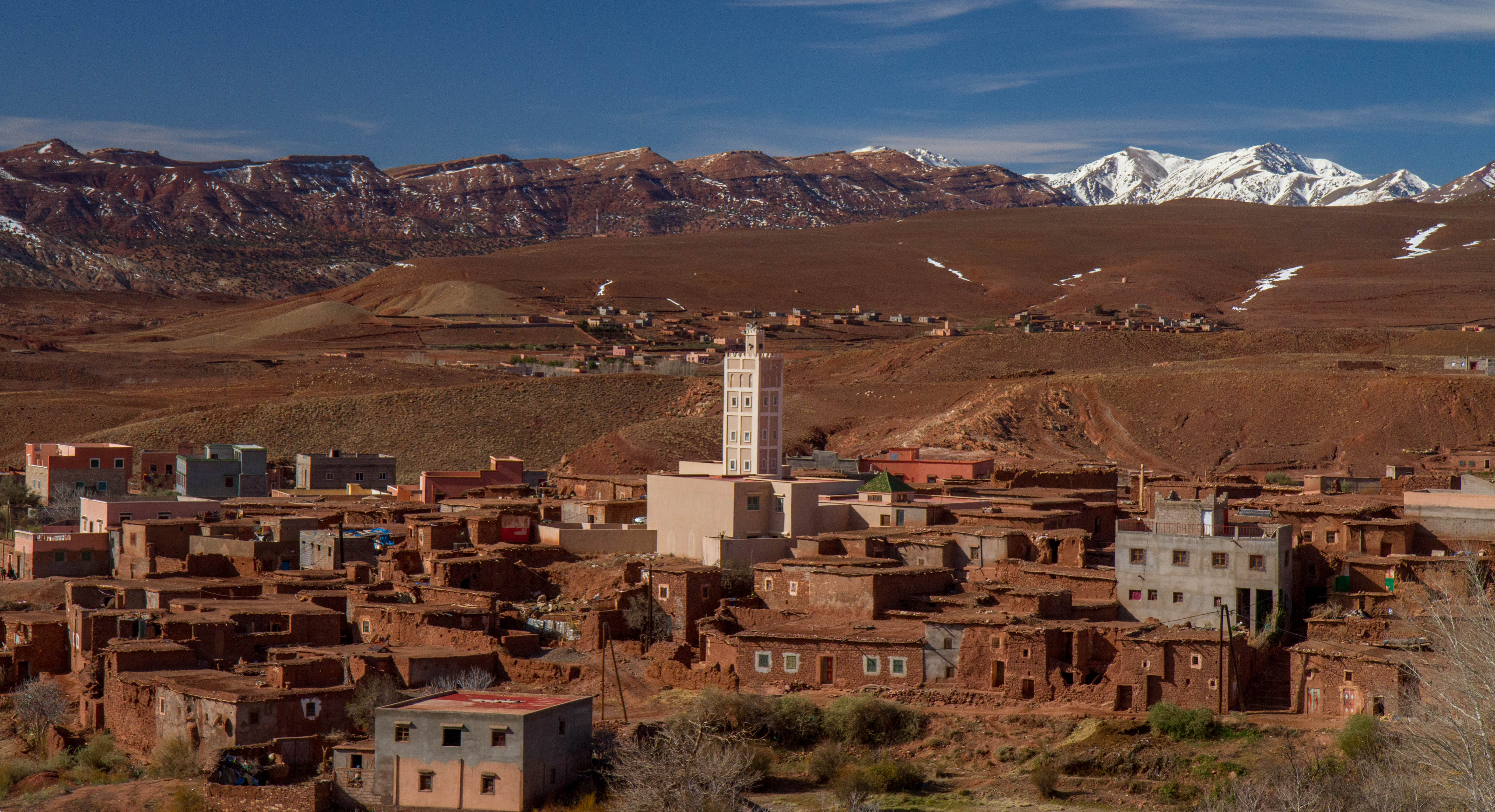
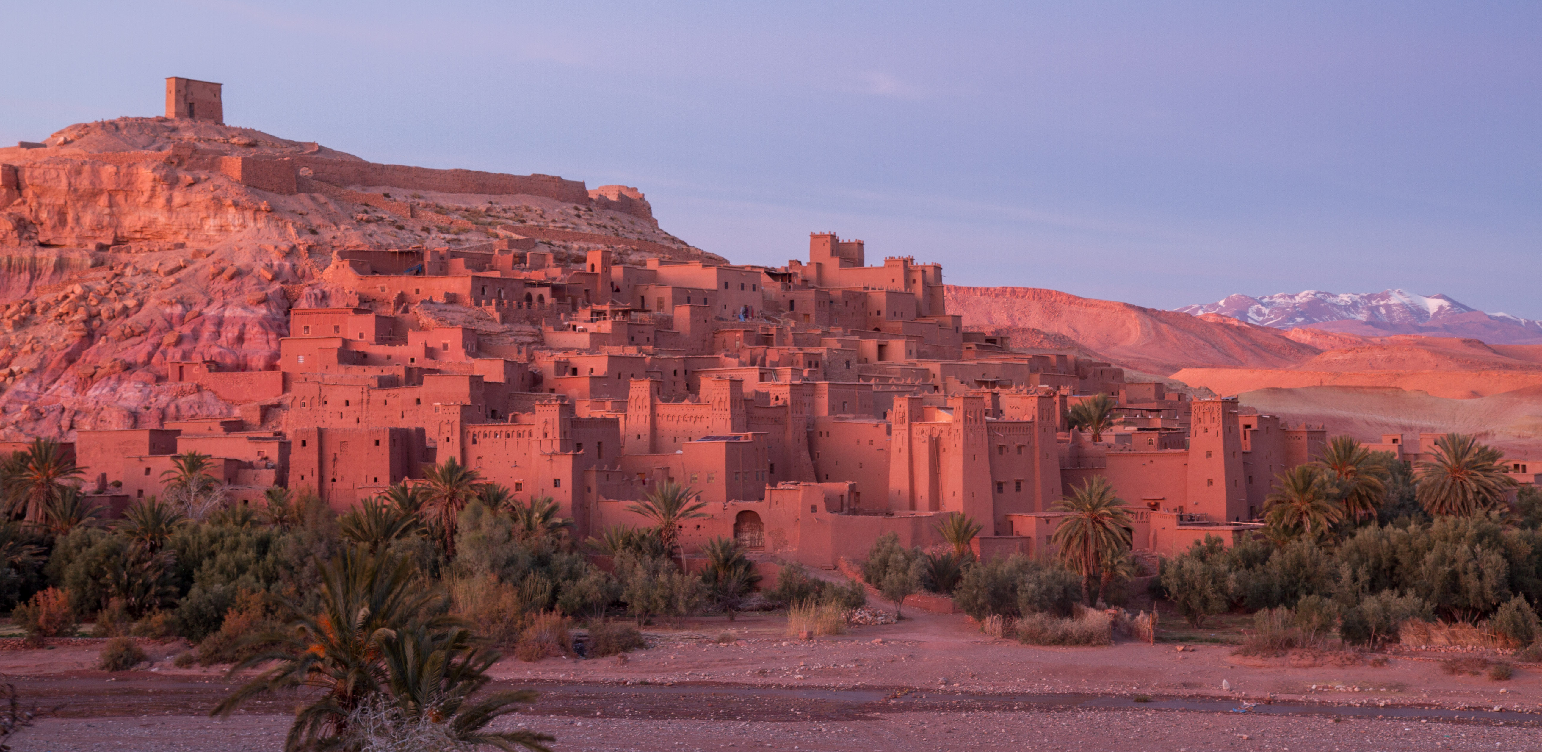
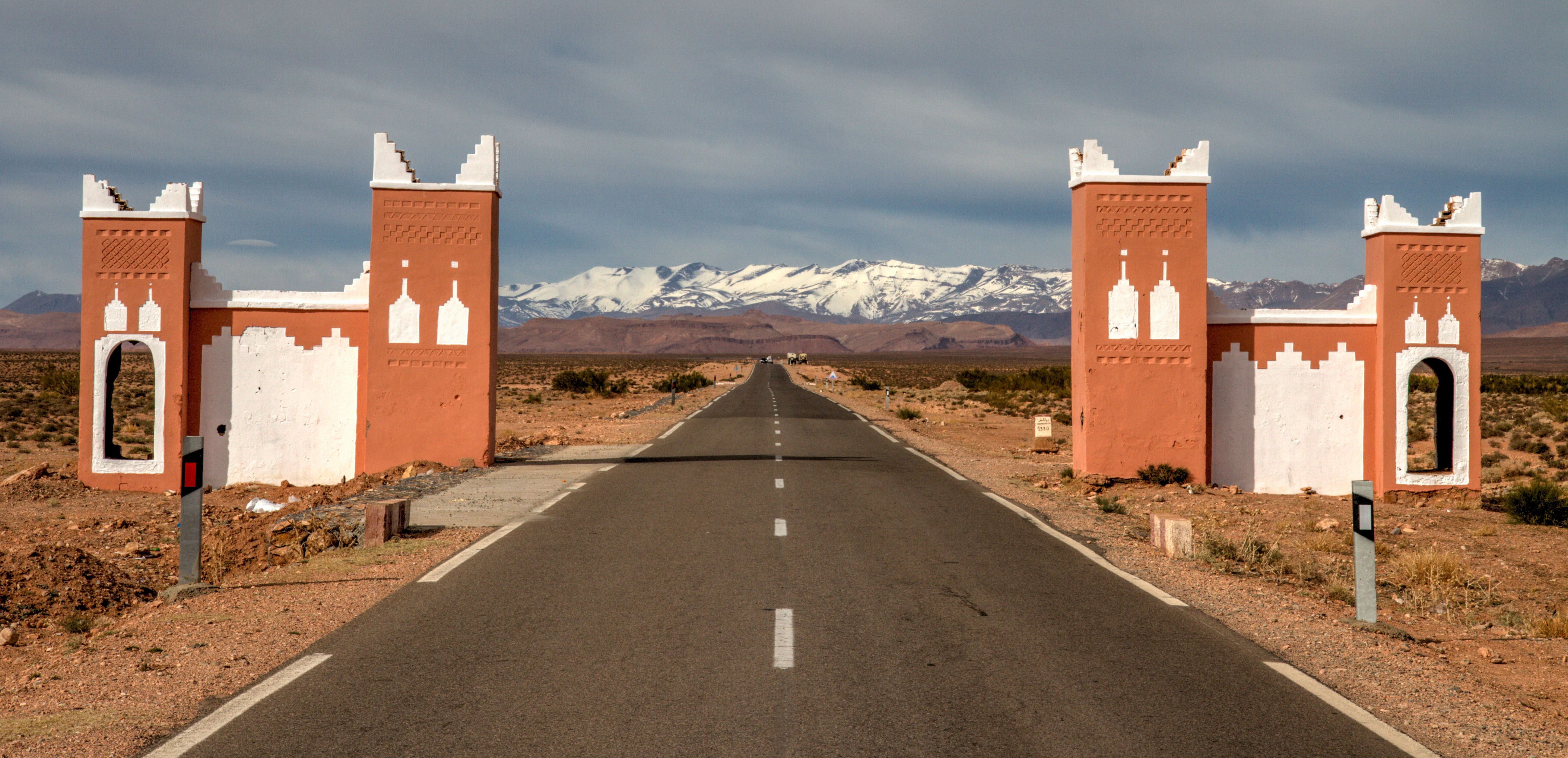
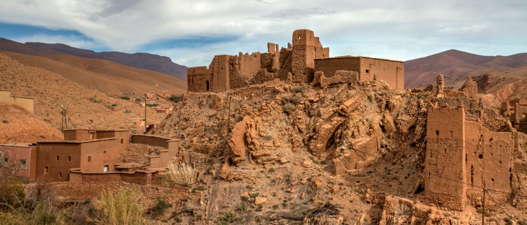
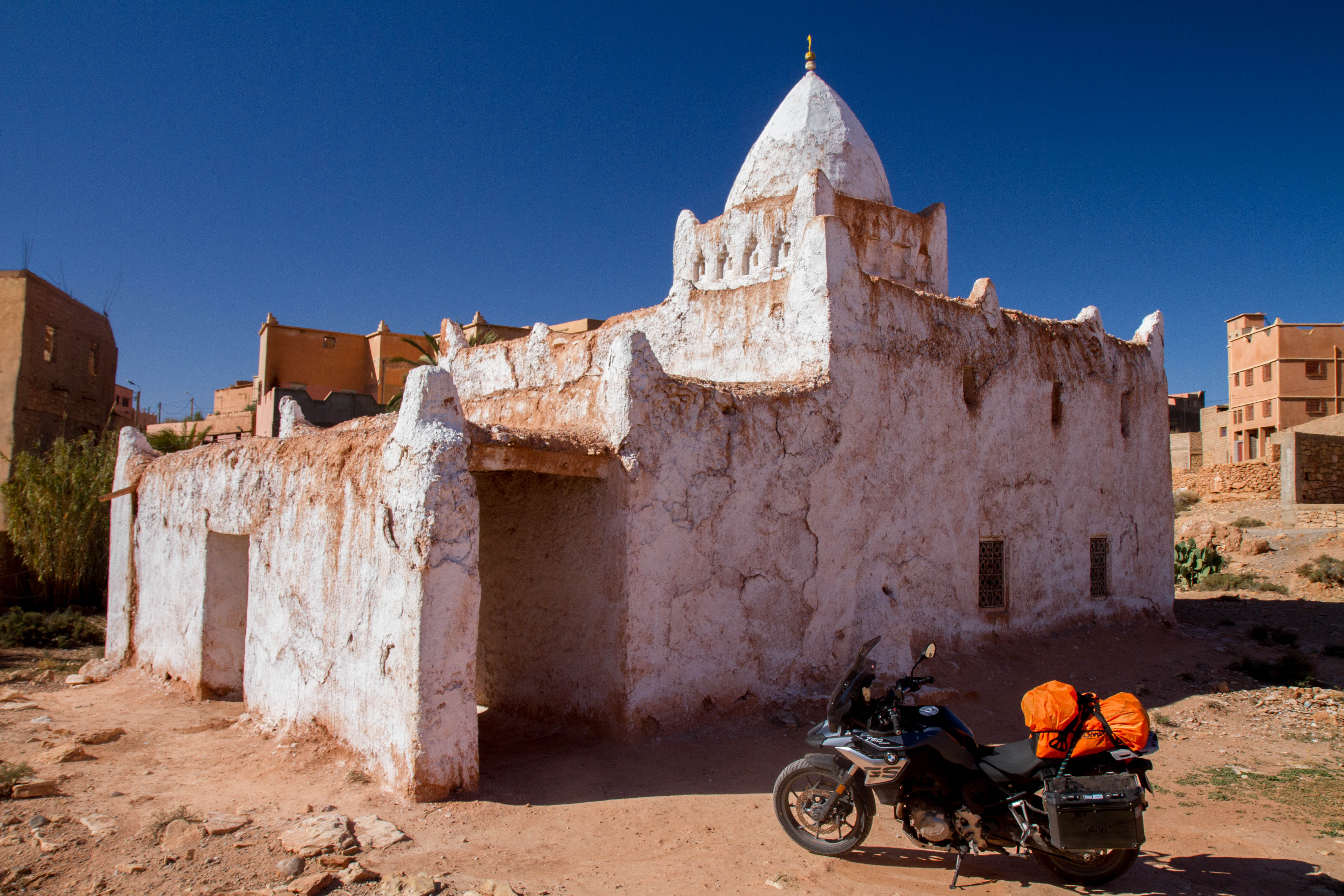
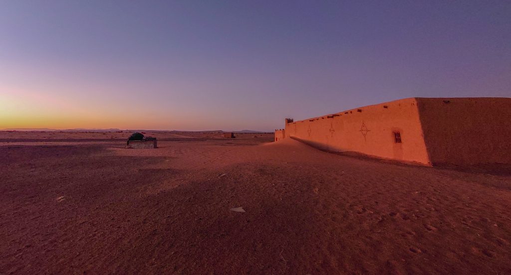
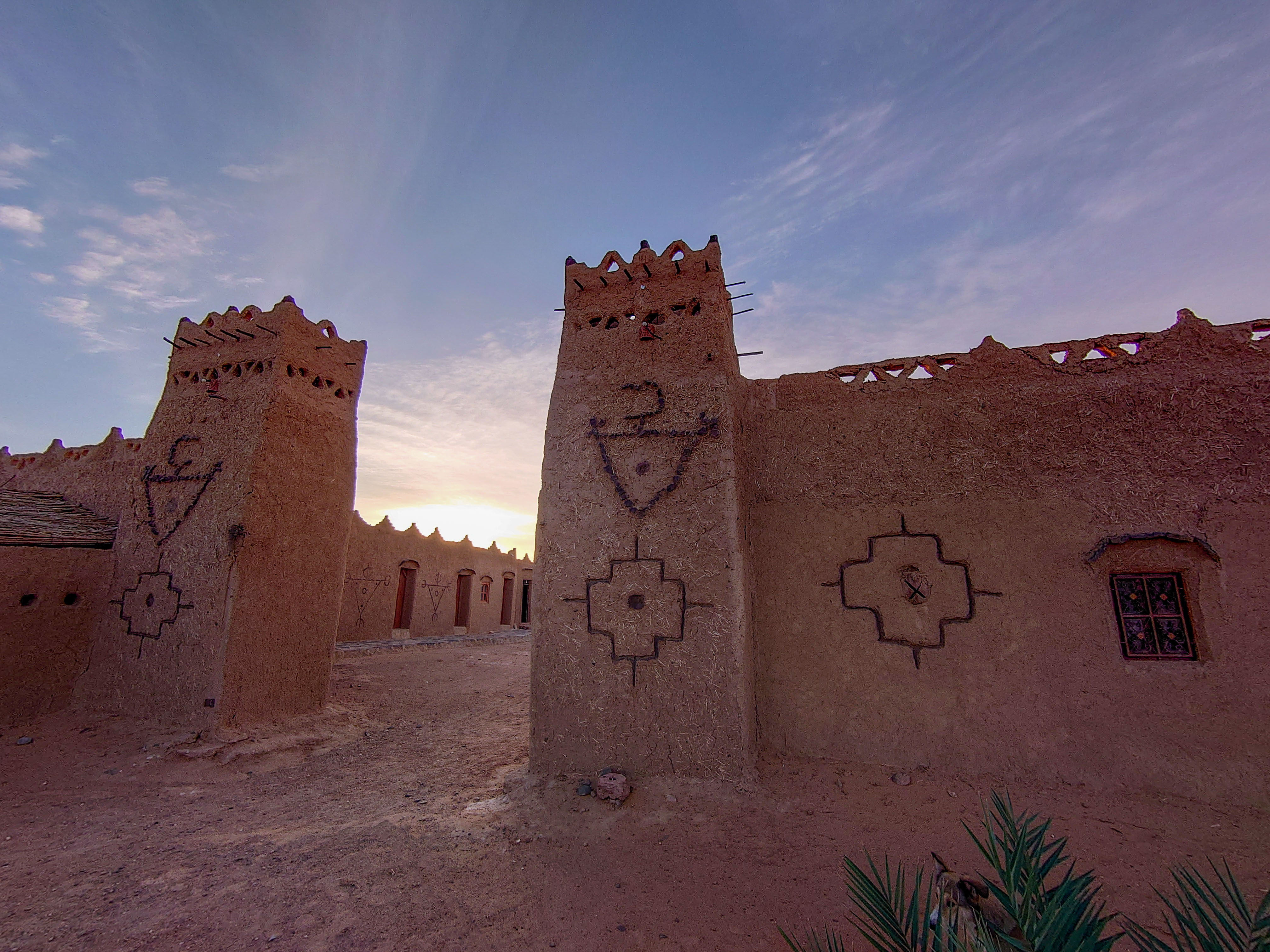
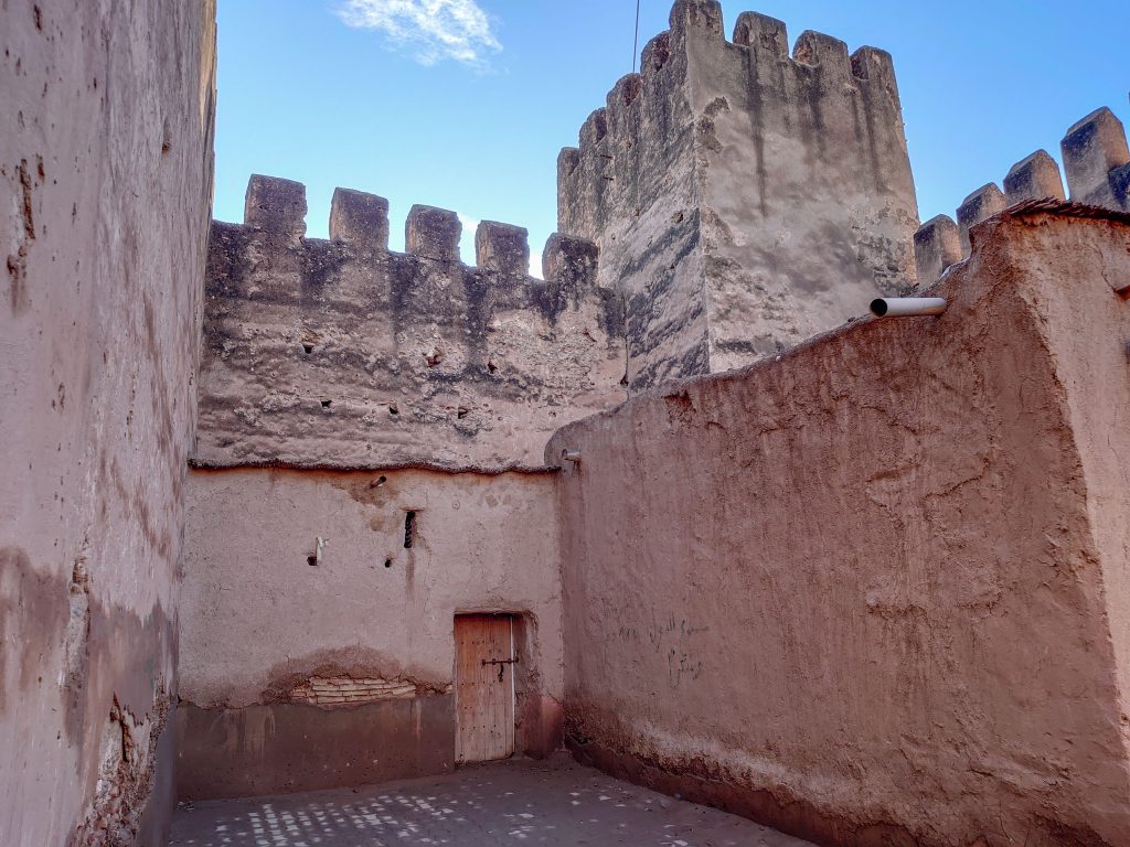
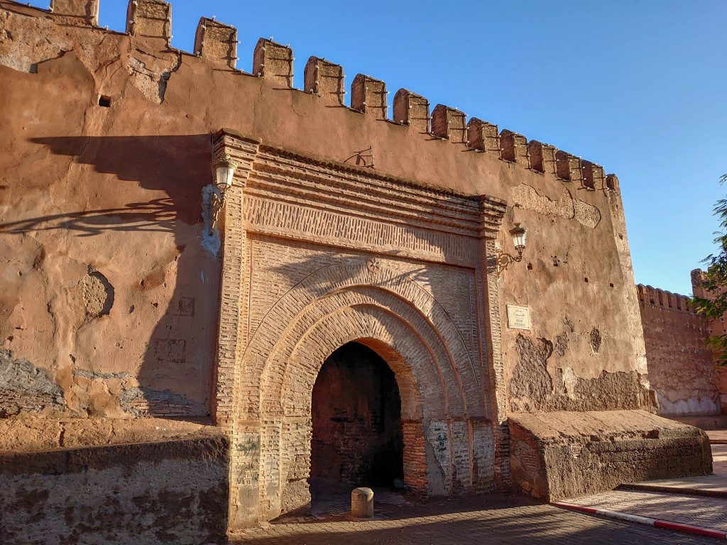
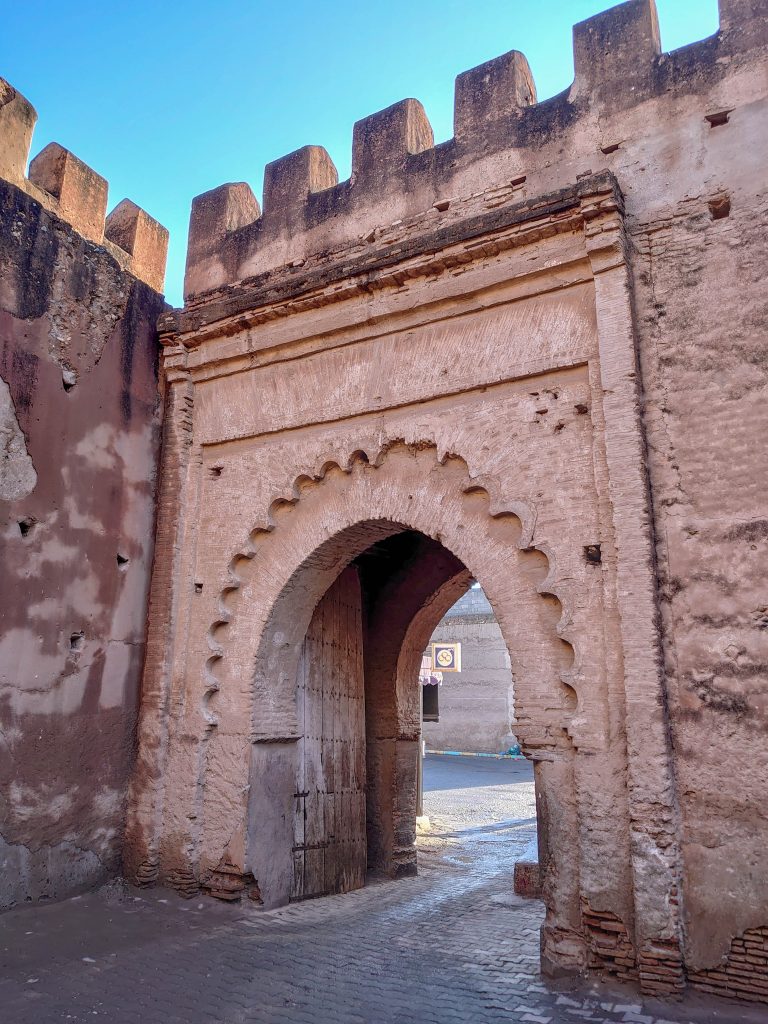
Aït Benhaddou
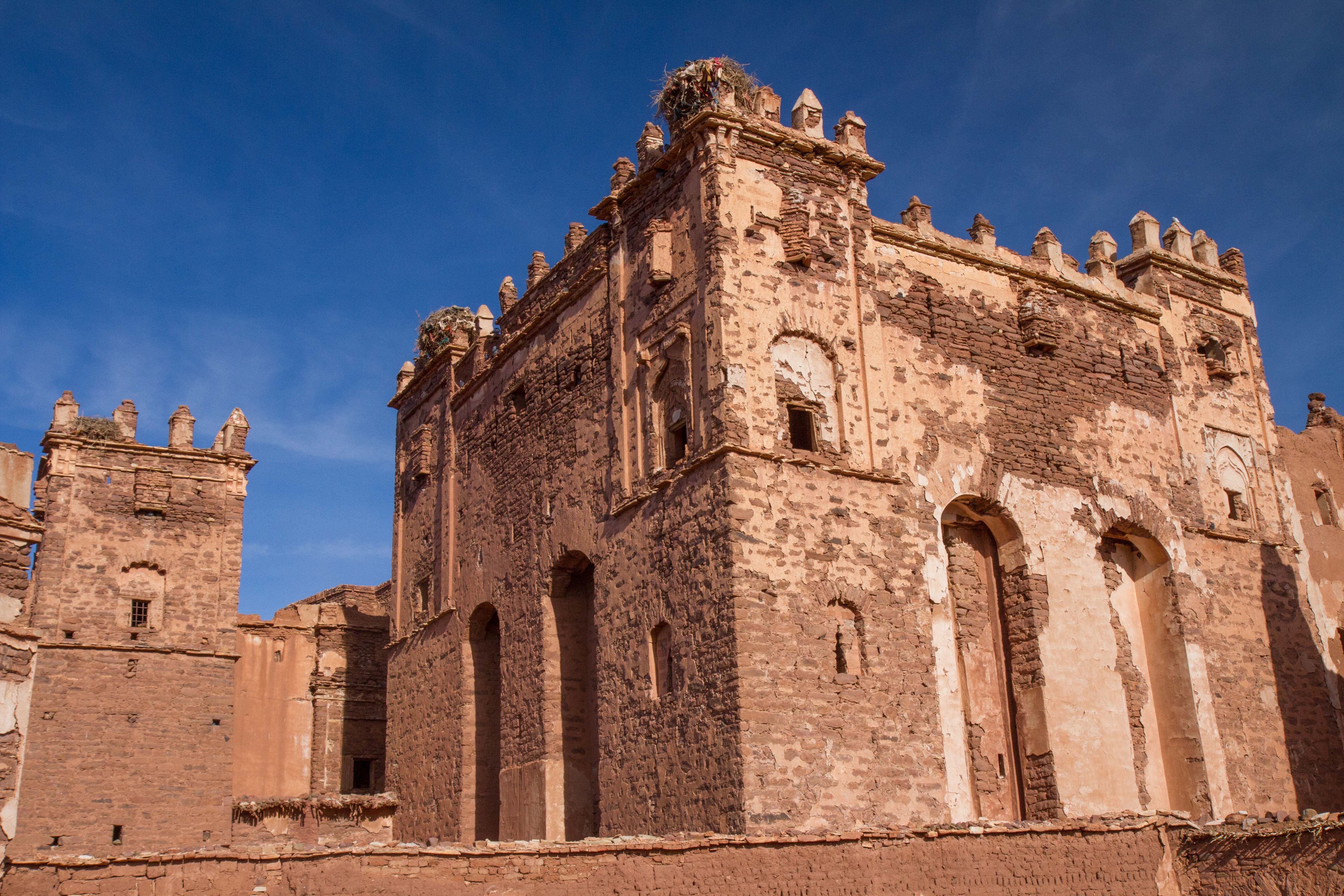
Aït Benhaddou is an ighrem along the former caravan route between the Sahara and Marrakech in present-day Morocco. Most citizens attracted by the tourist trade live in more modern dwellings in a village on the other side of the river, although there are four families still living in the ancient village.
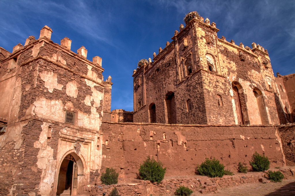
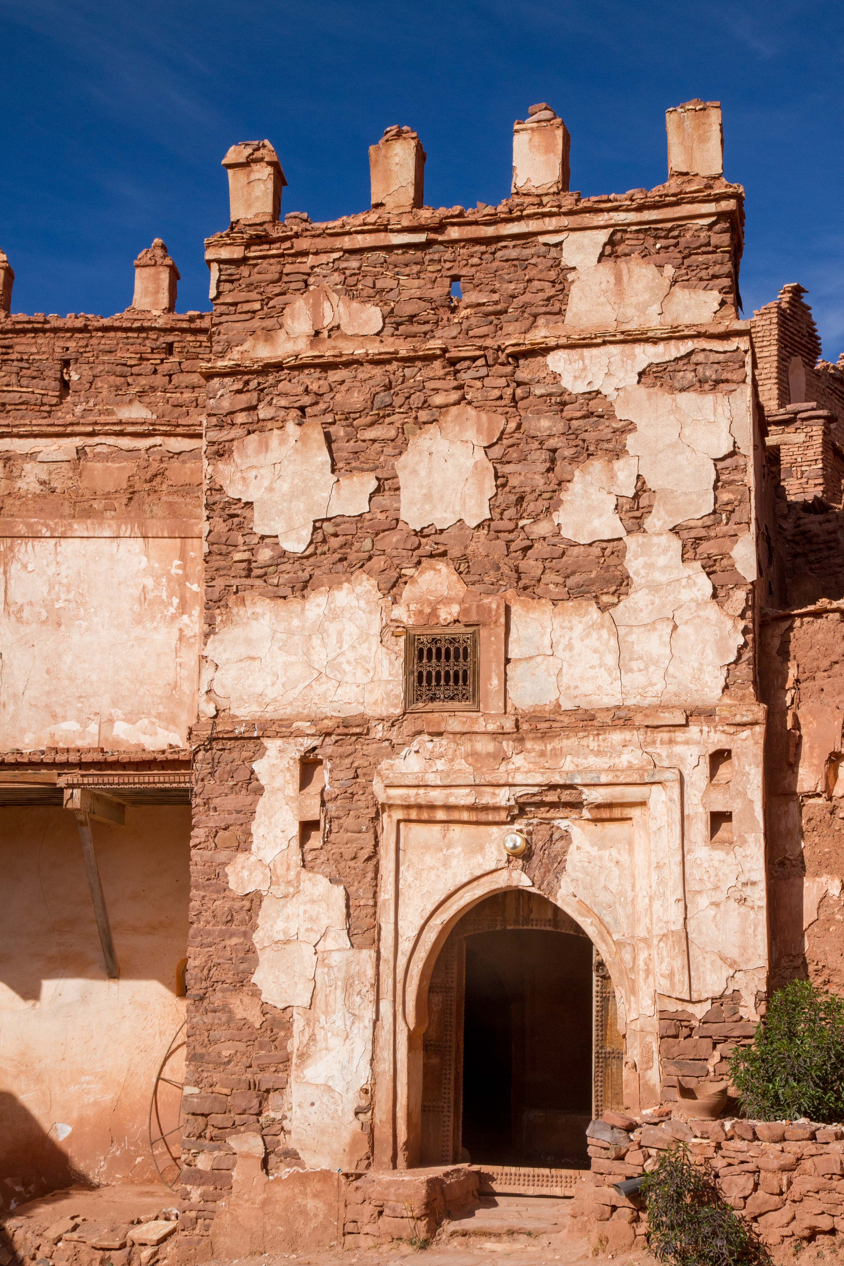
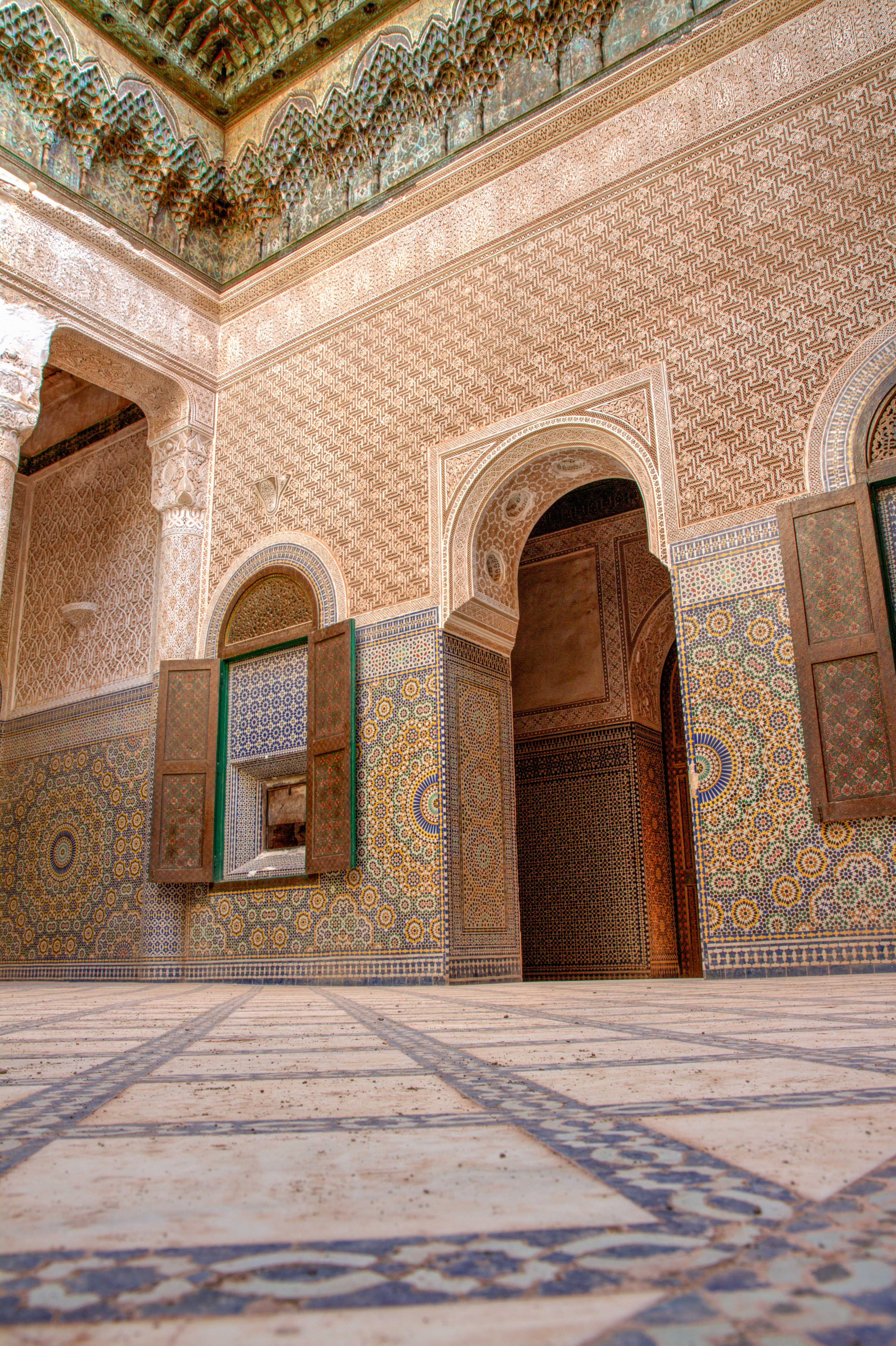
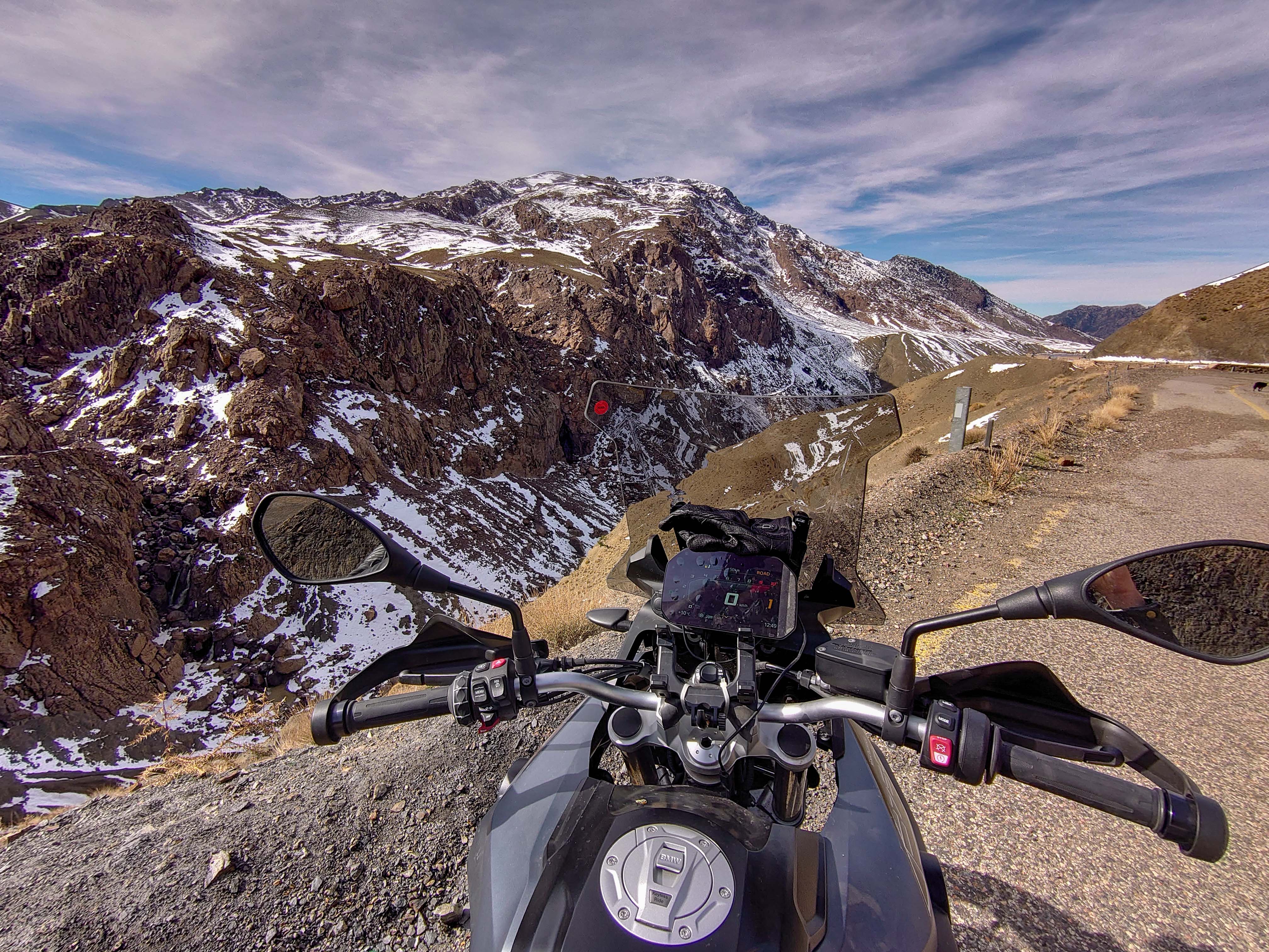
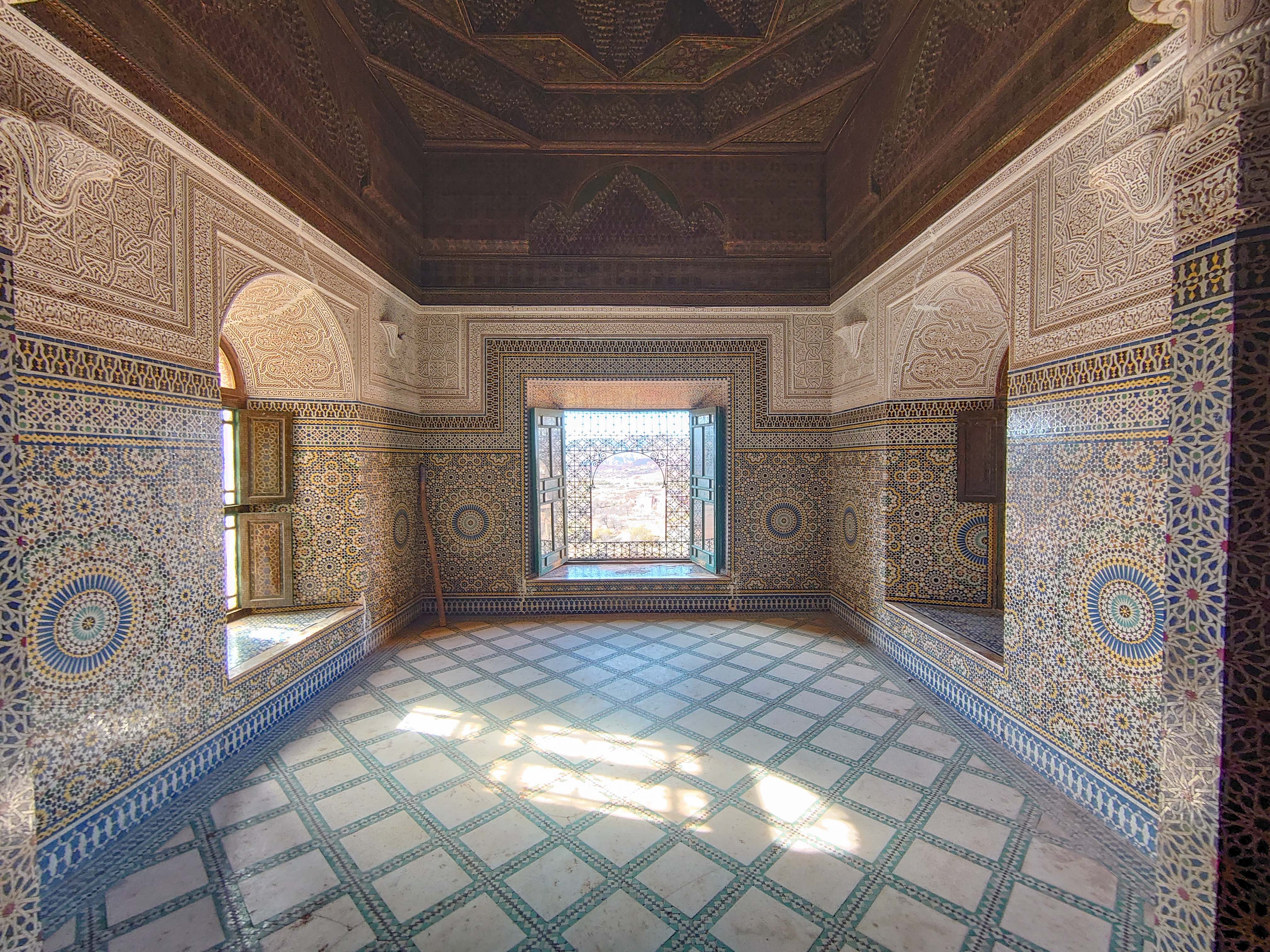
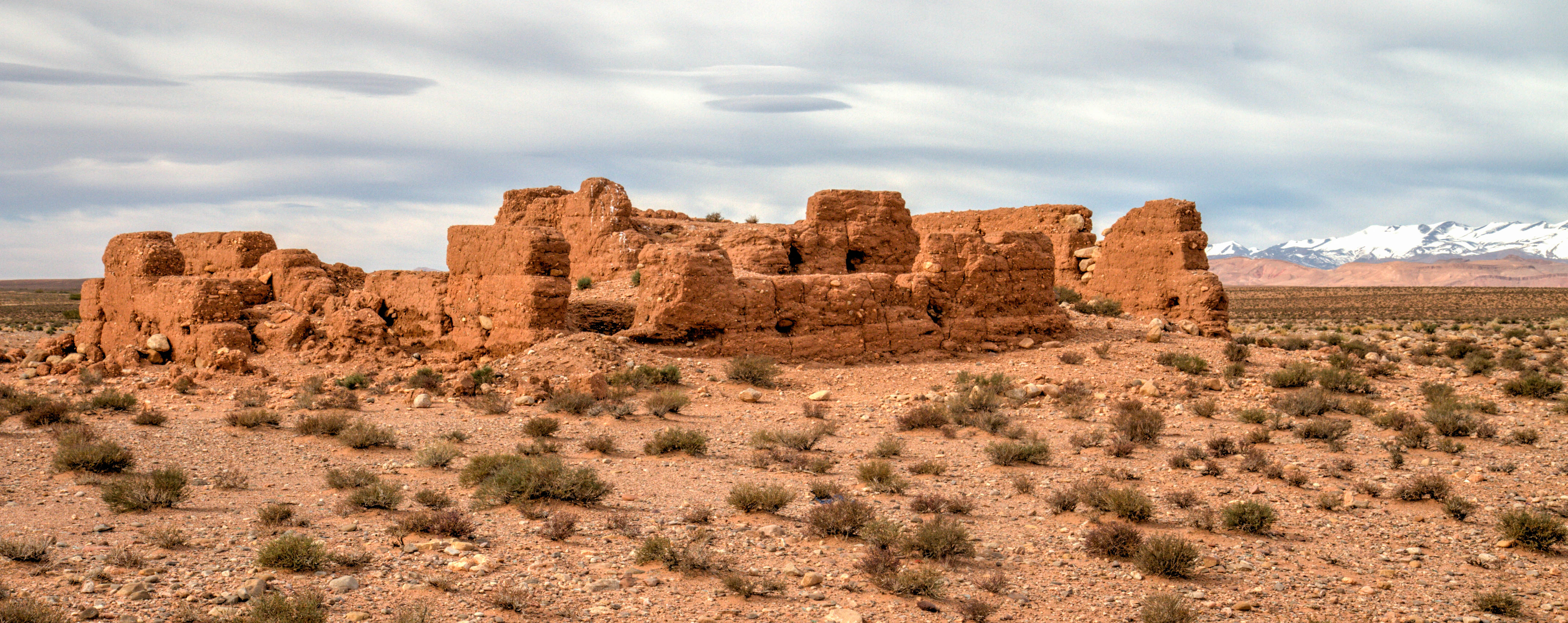
Telouet Kasbah is a Kasbah along the former route of the caravans from the Sahara over the Atlas Mountains to Marrakech. The kasbah was the seat of the El Glaoui family’s power, thus sometimes also called the Palace of Glaoui, and it was built in the 18th and 19th centuries.
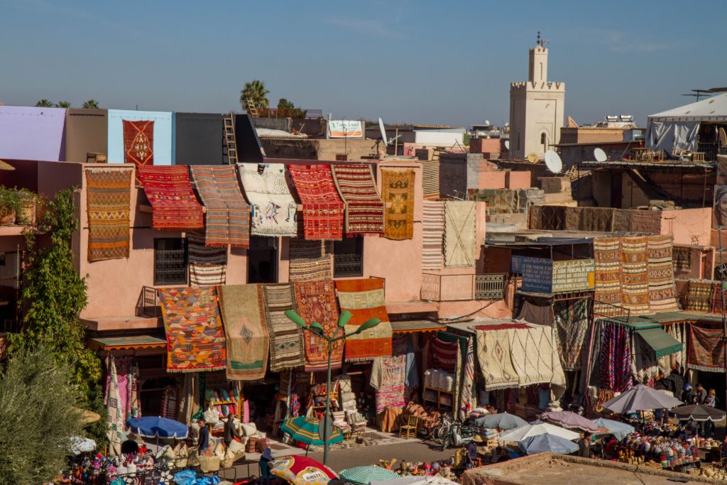
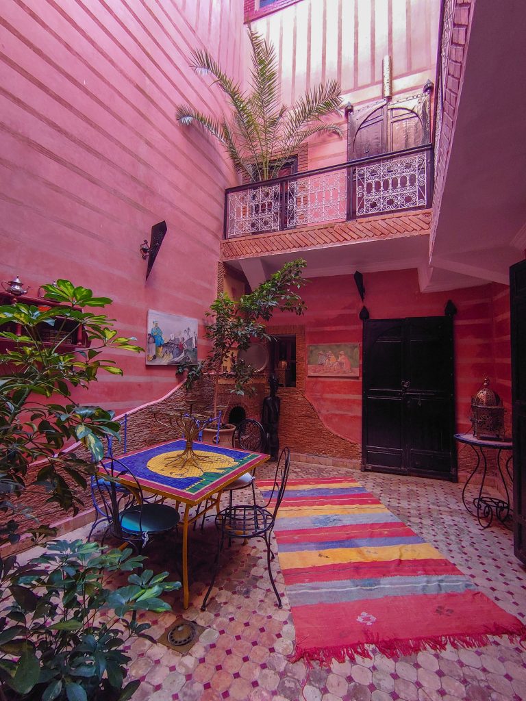
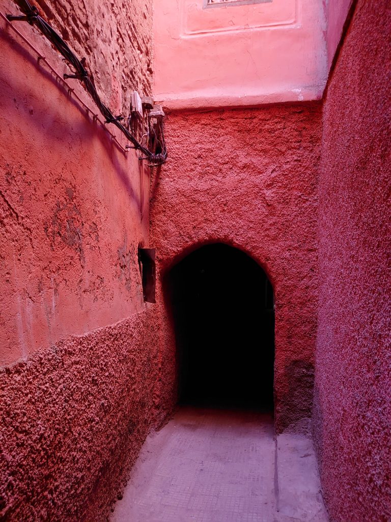
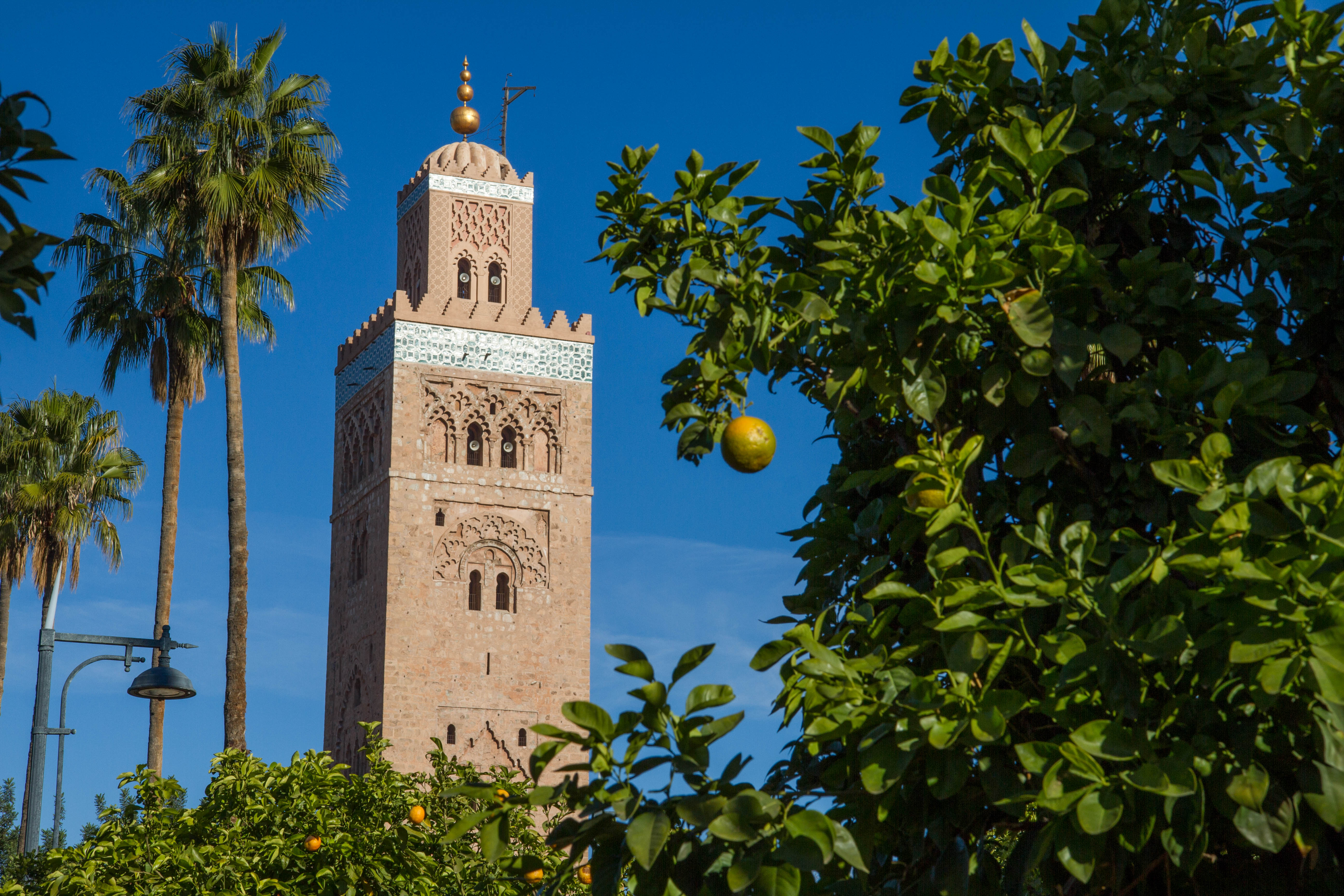
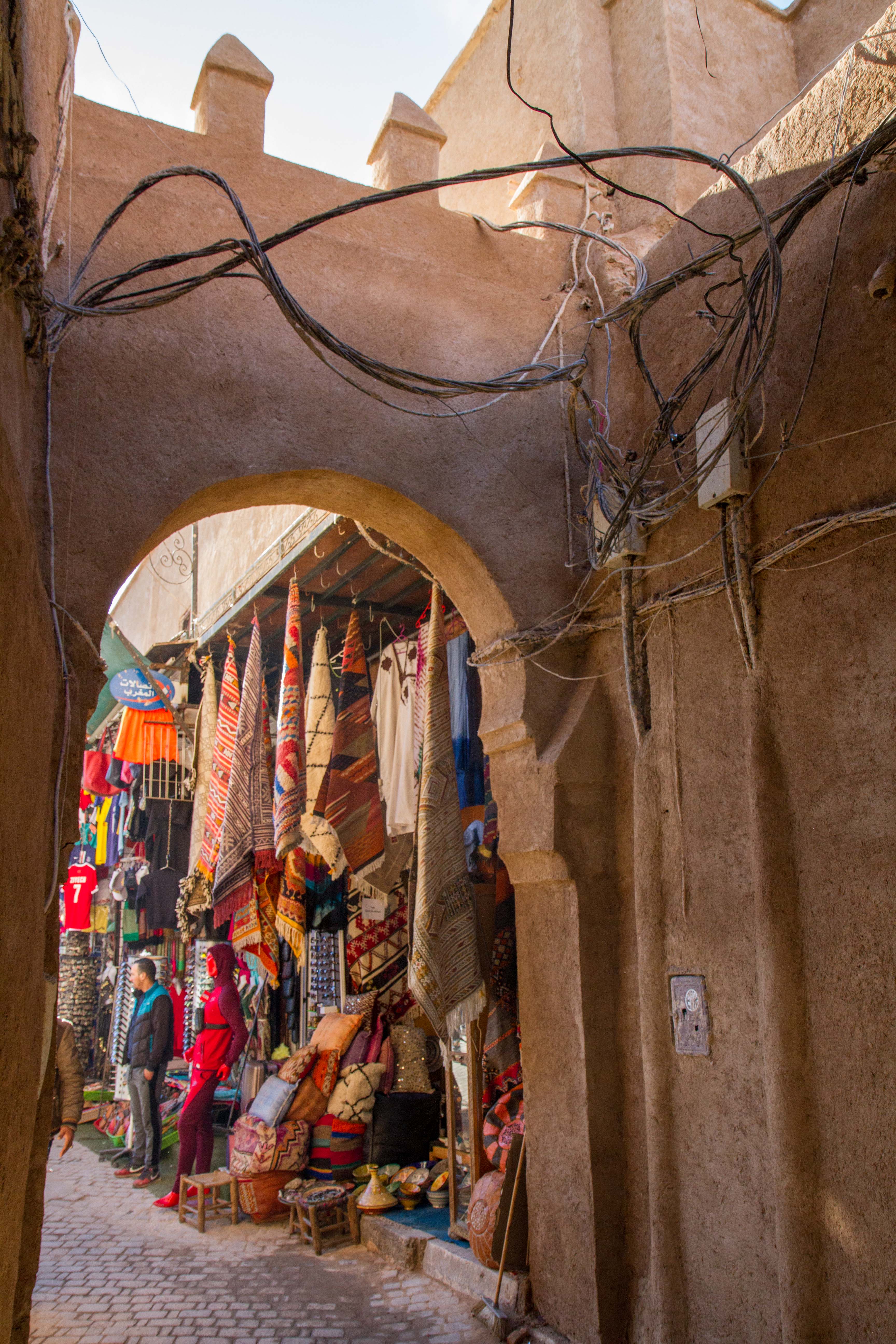
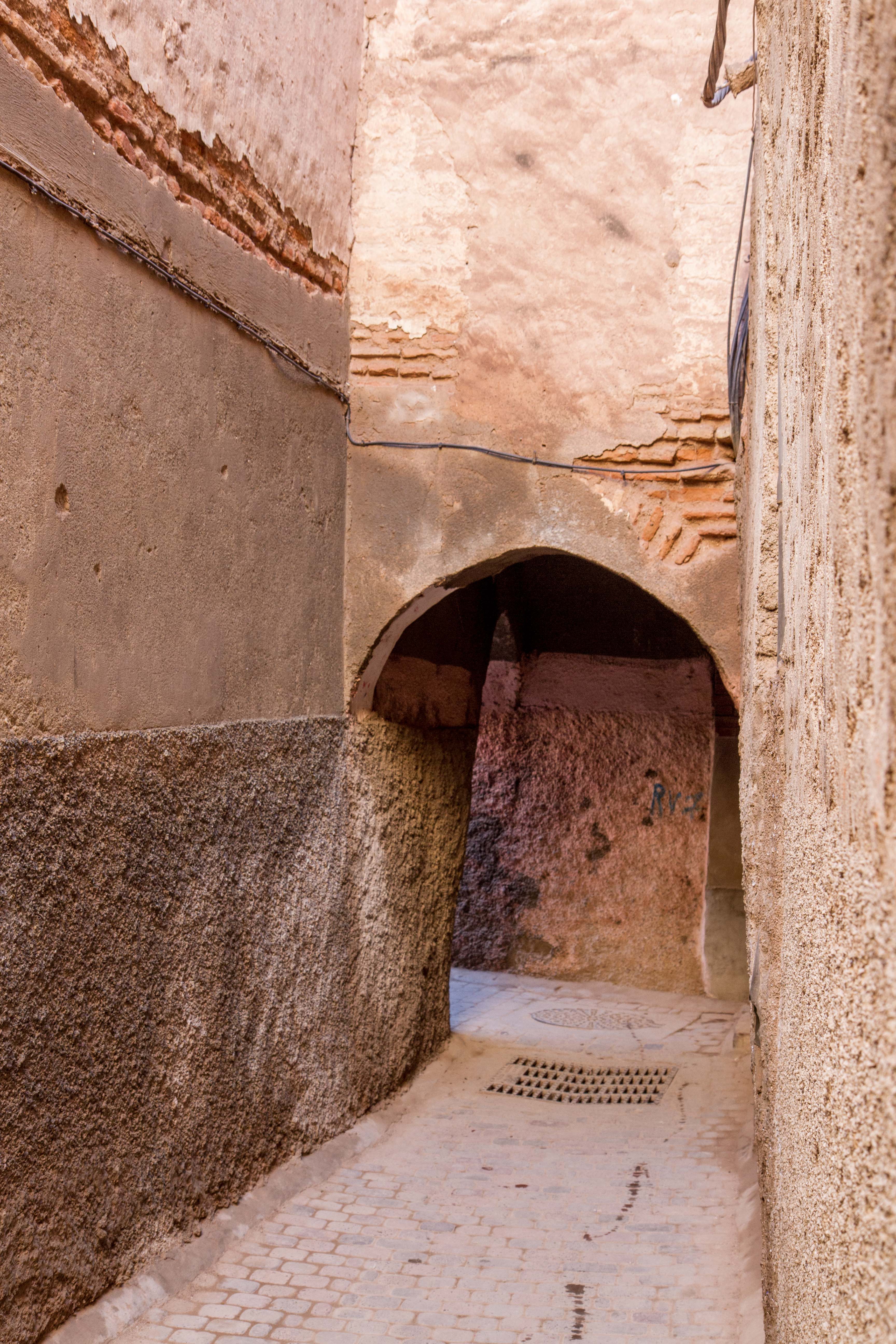
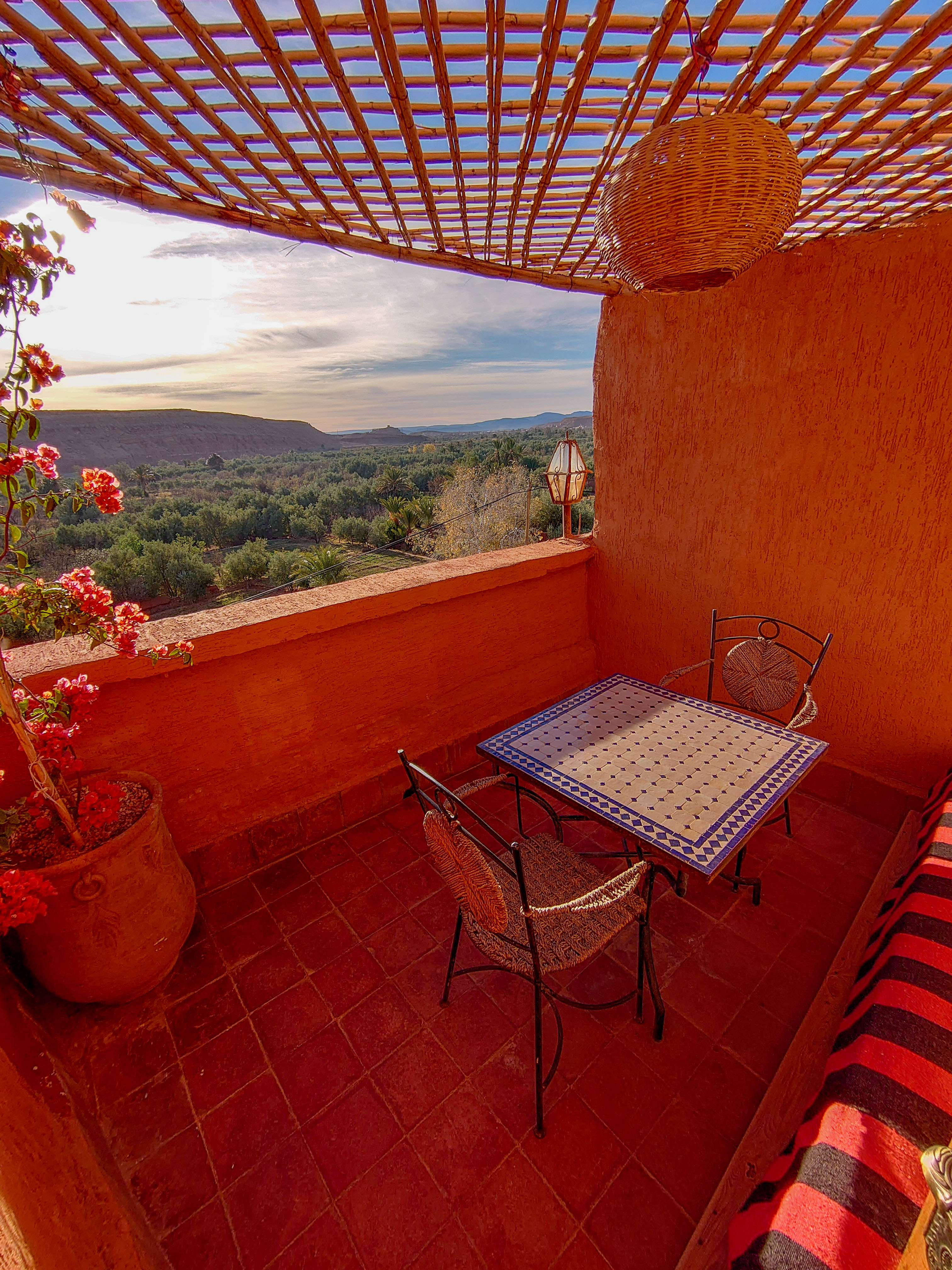
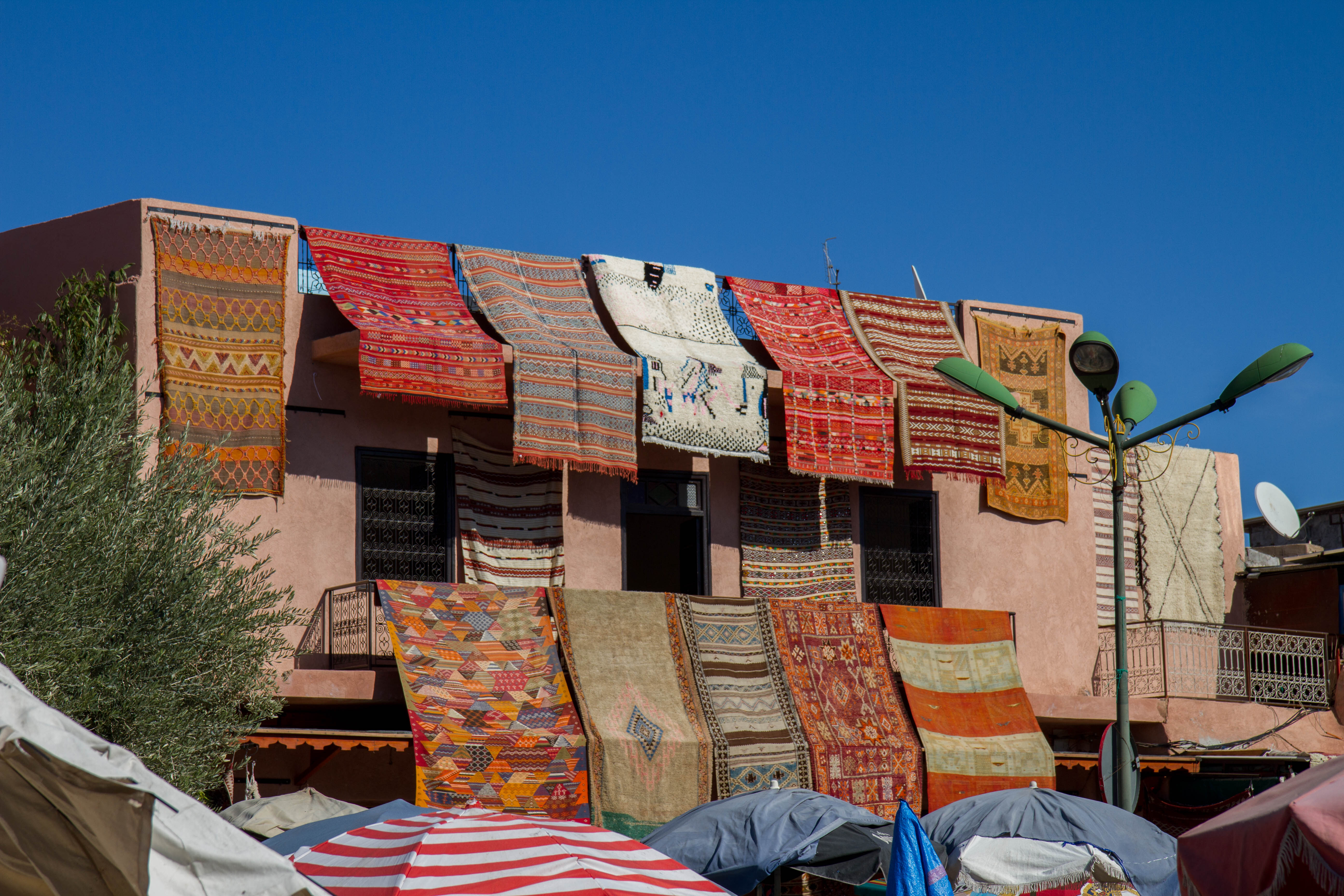
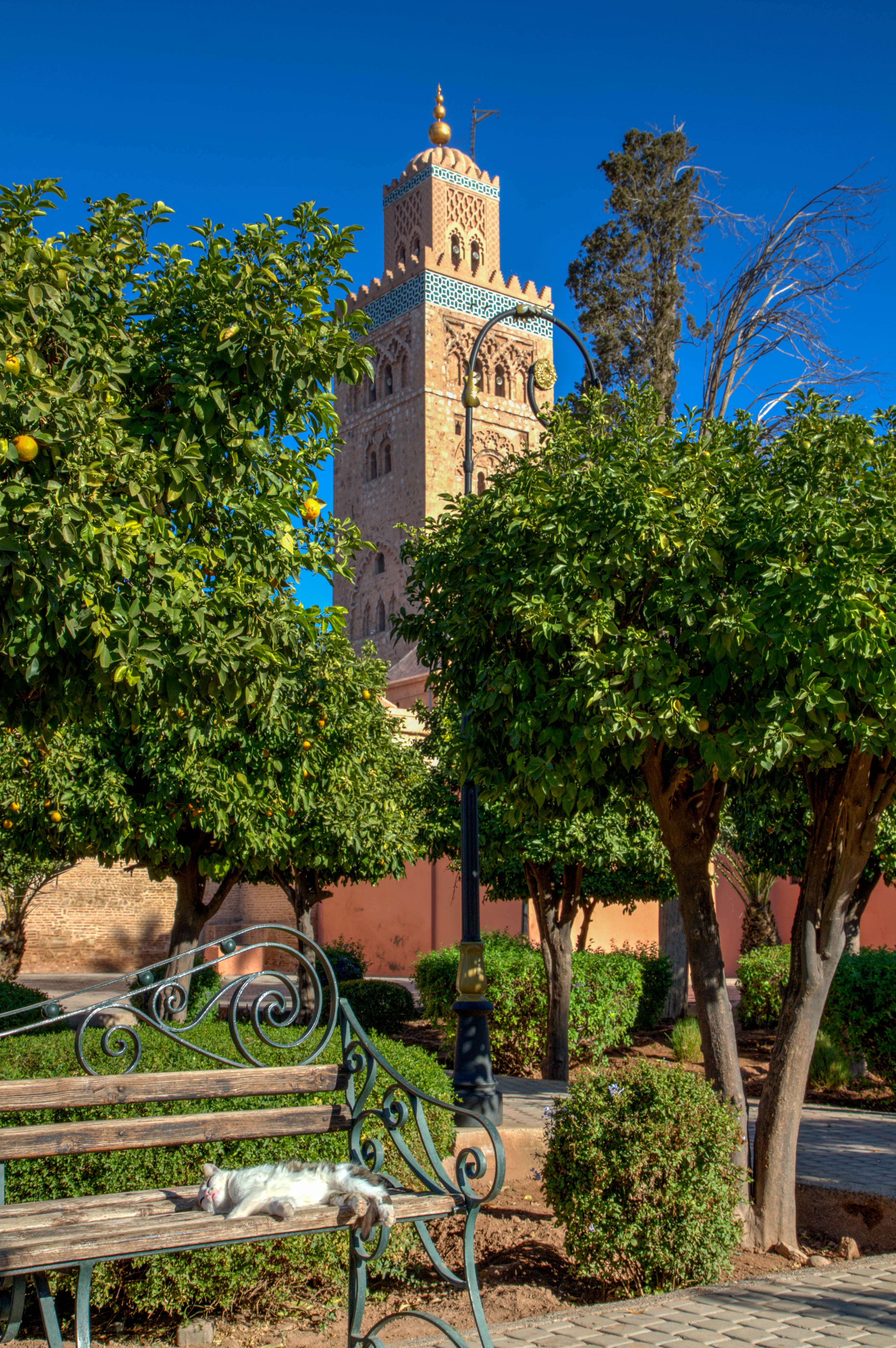
The ‘Heart of Morocco’ is a fantastic mix of craziness, colours and food. Wander around the maze of alleys in the main medina and then head to one of the many roof terrace to escape the heat and crowds of people below.
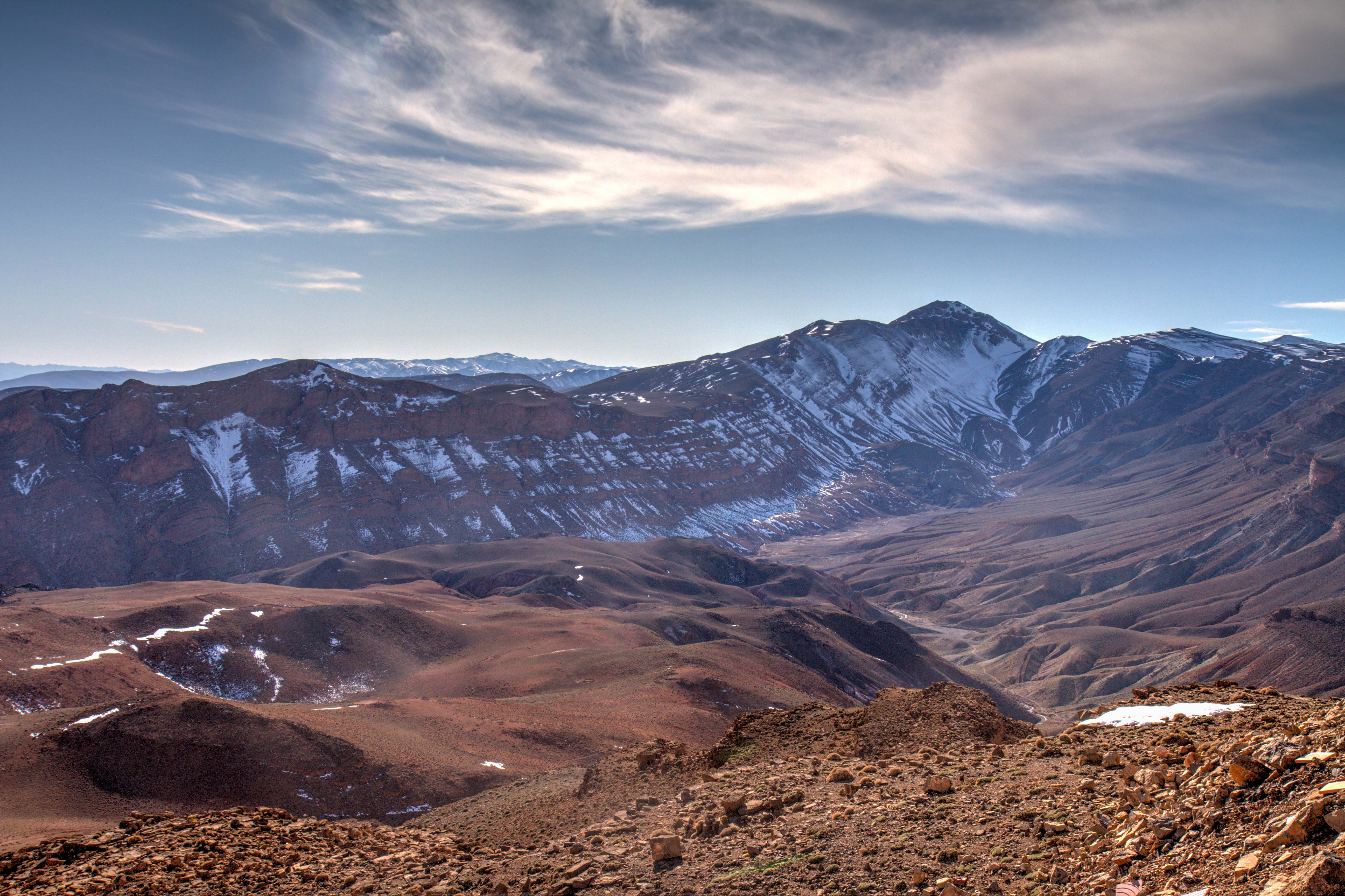
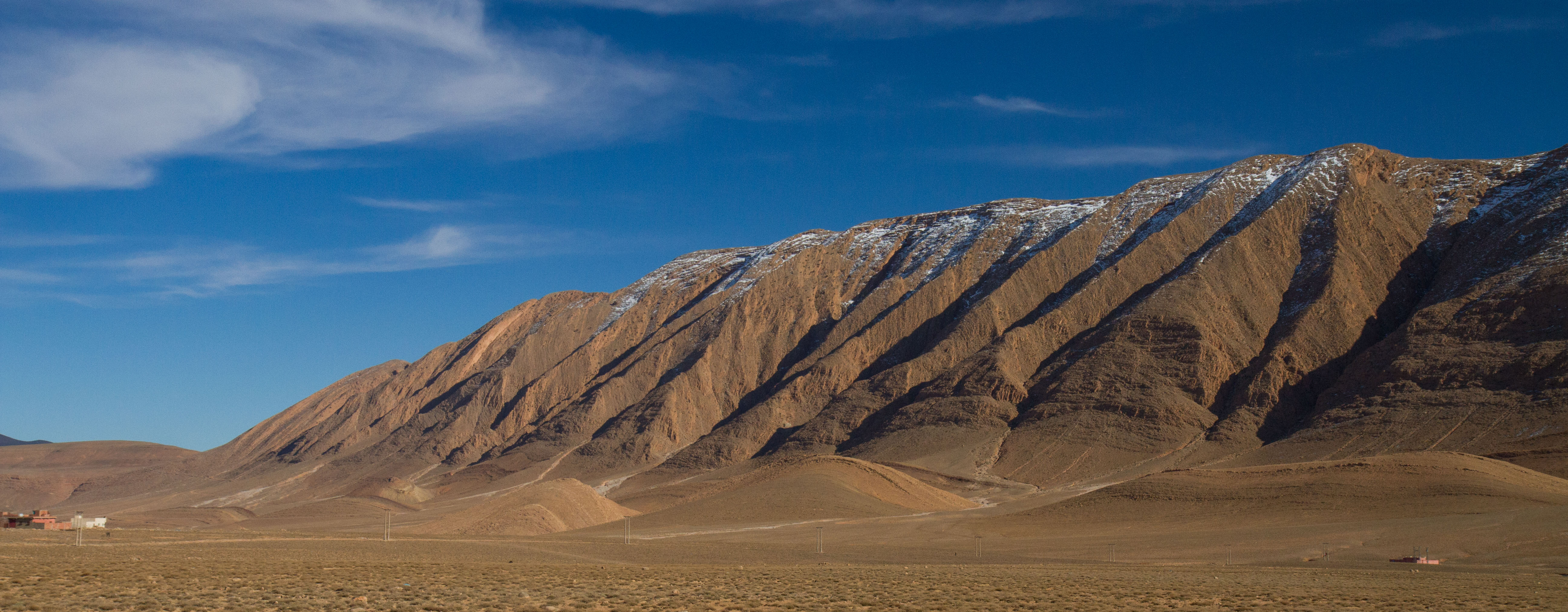
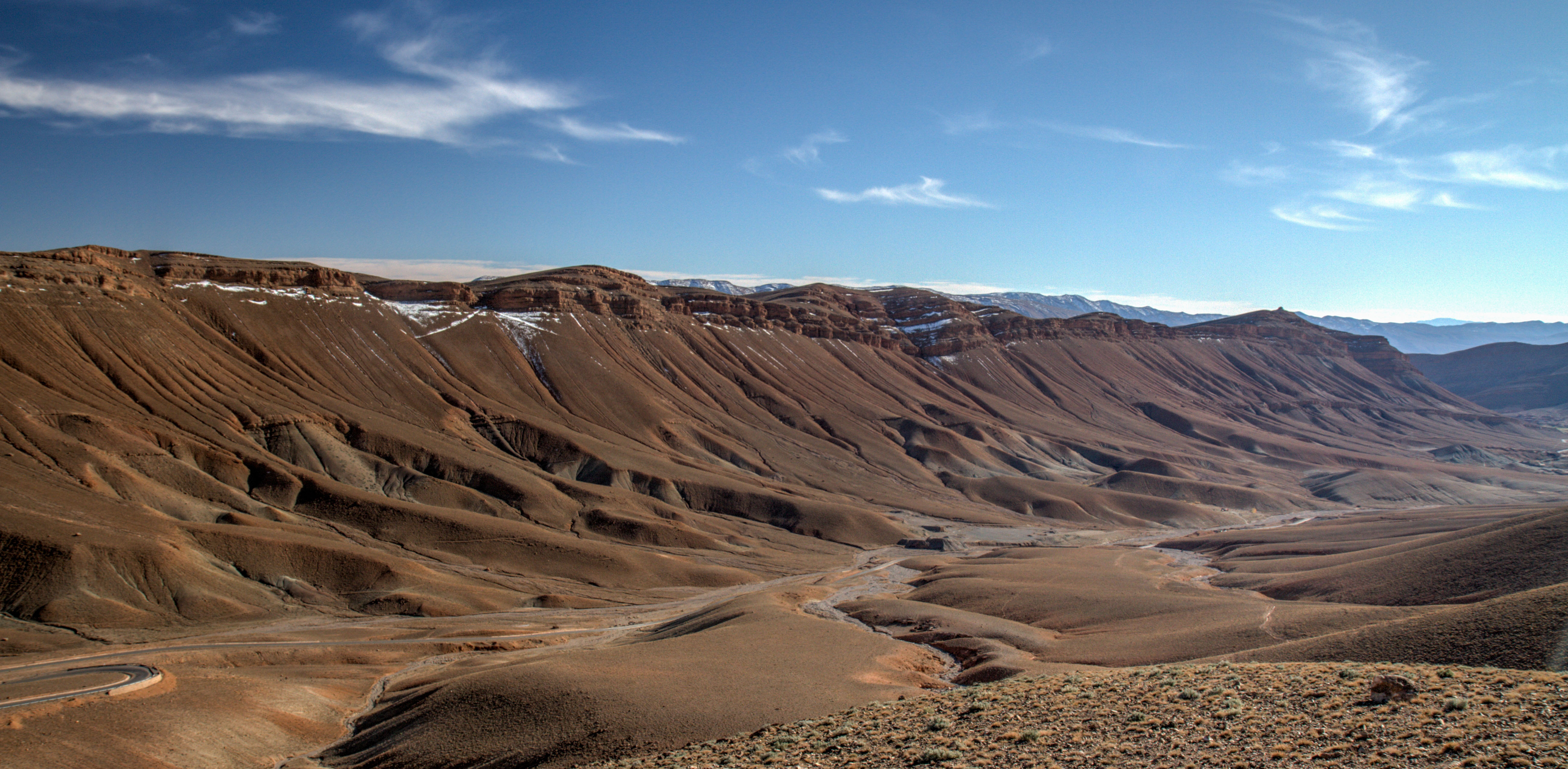
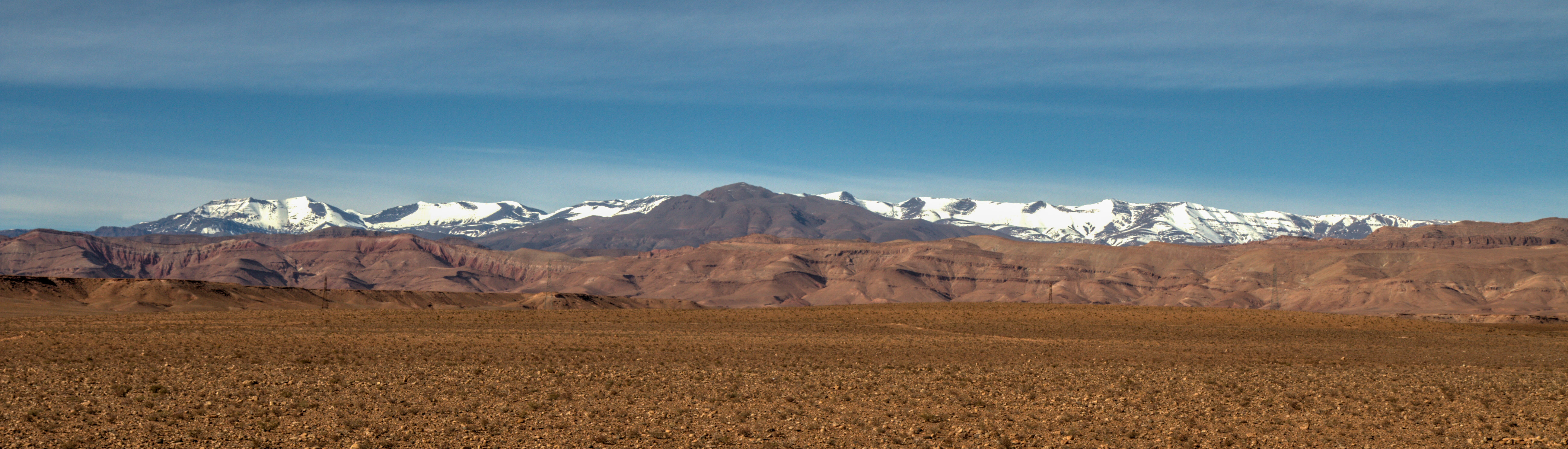
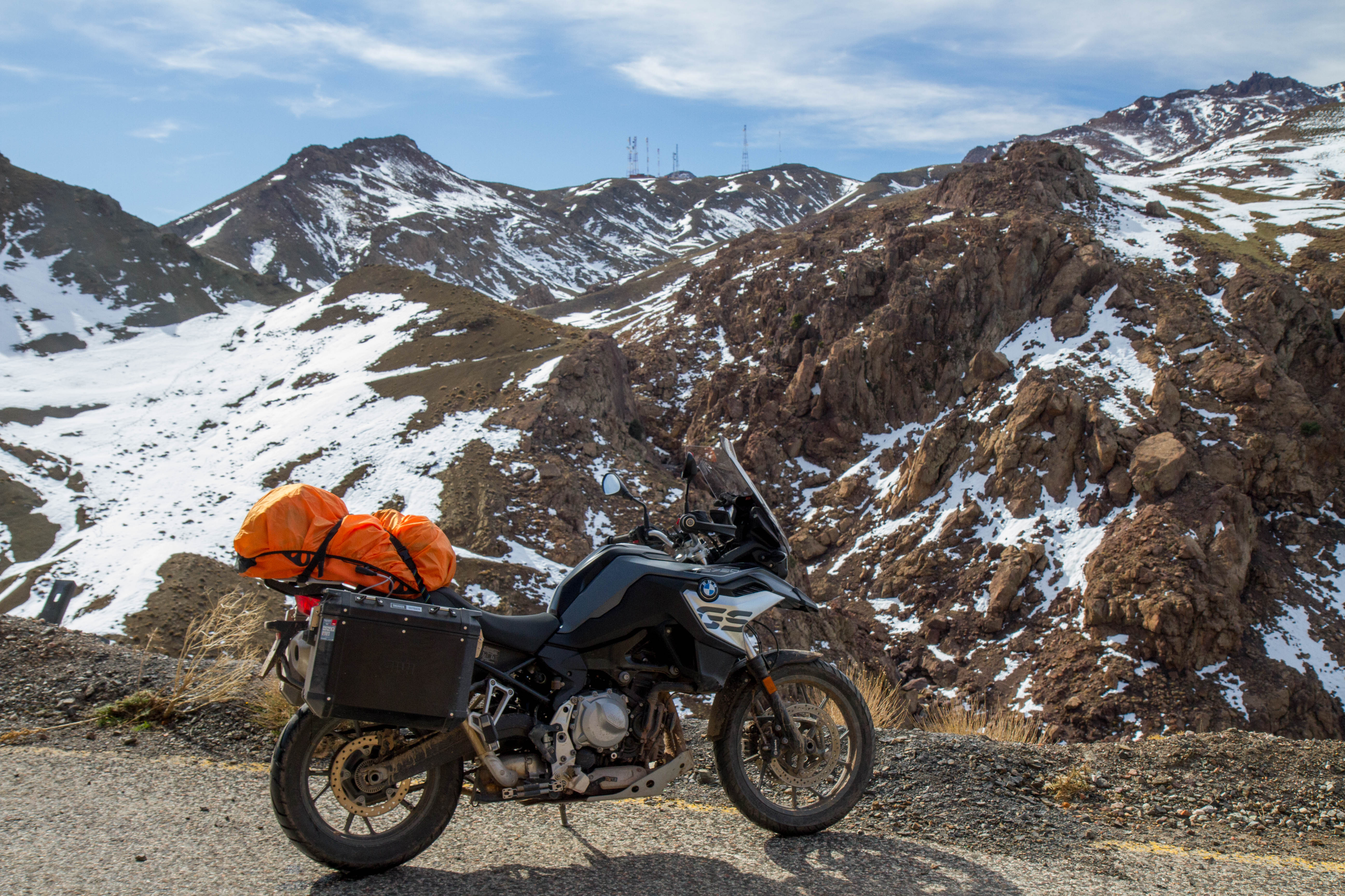
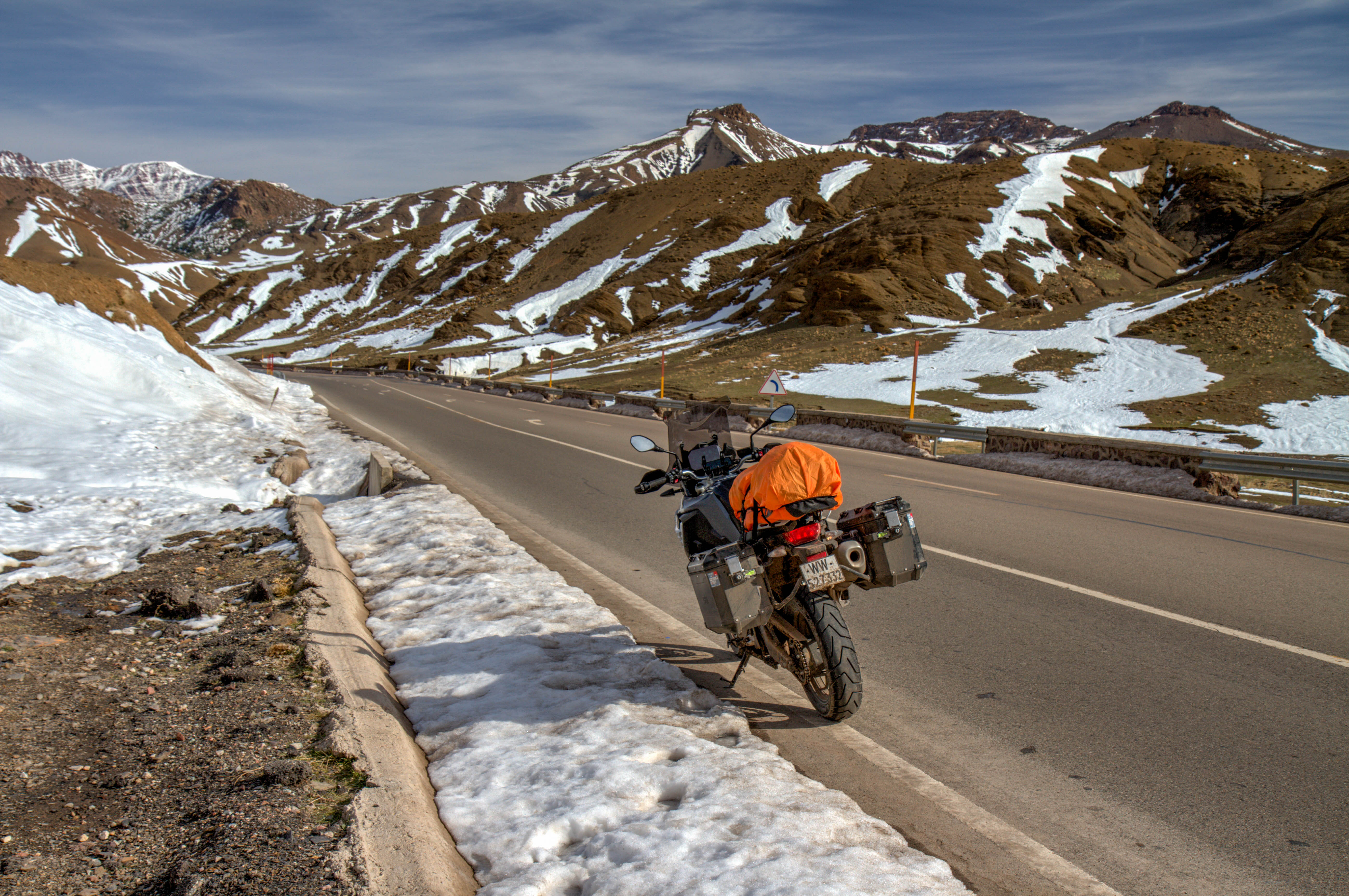
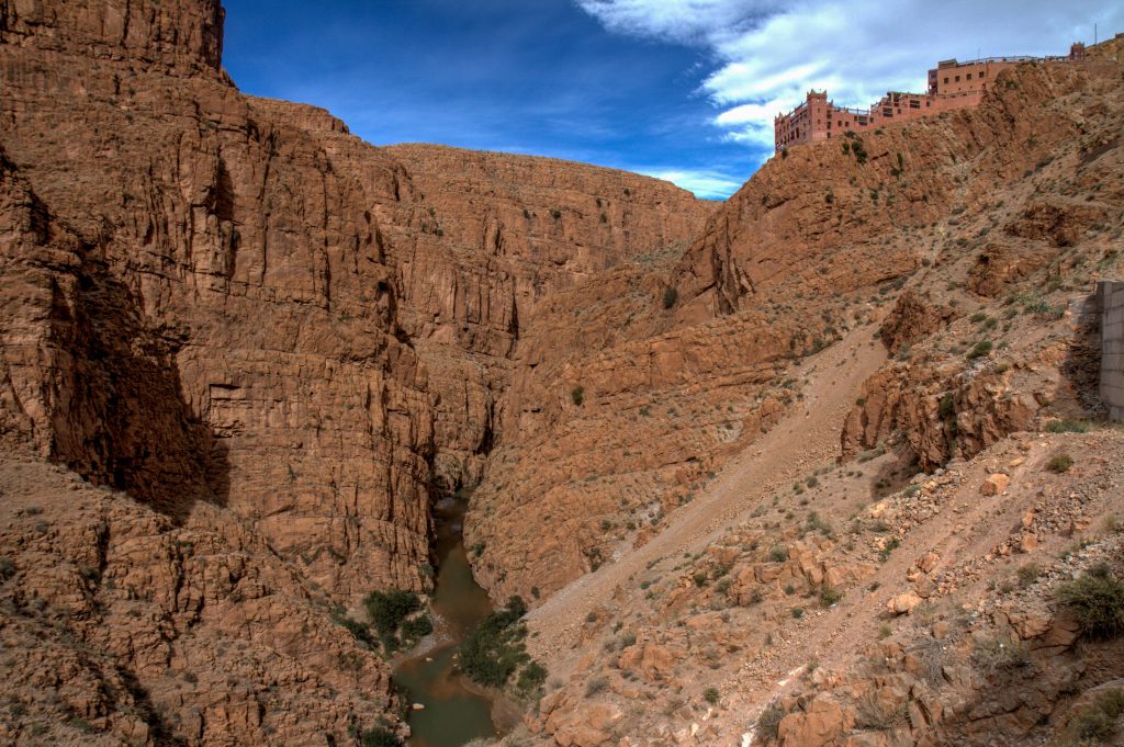
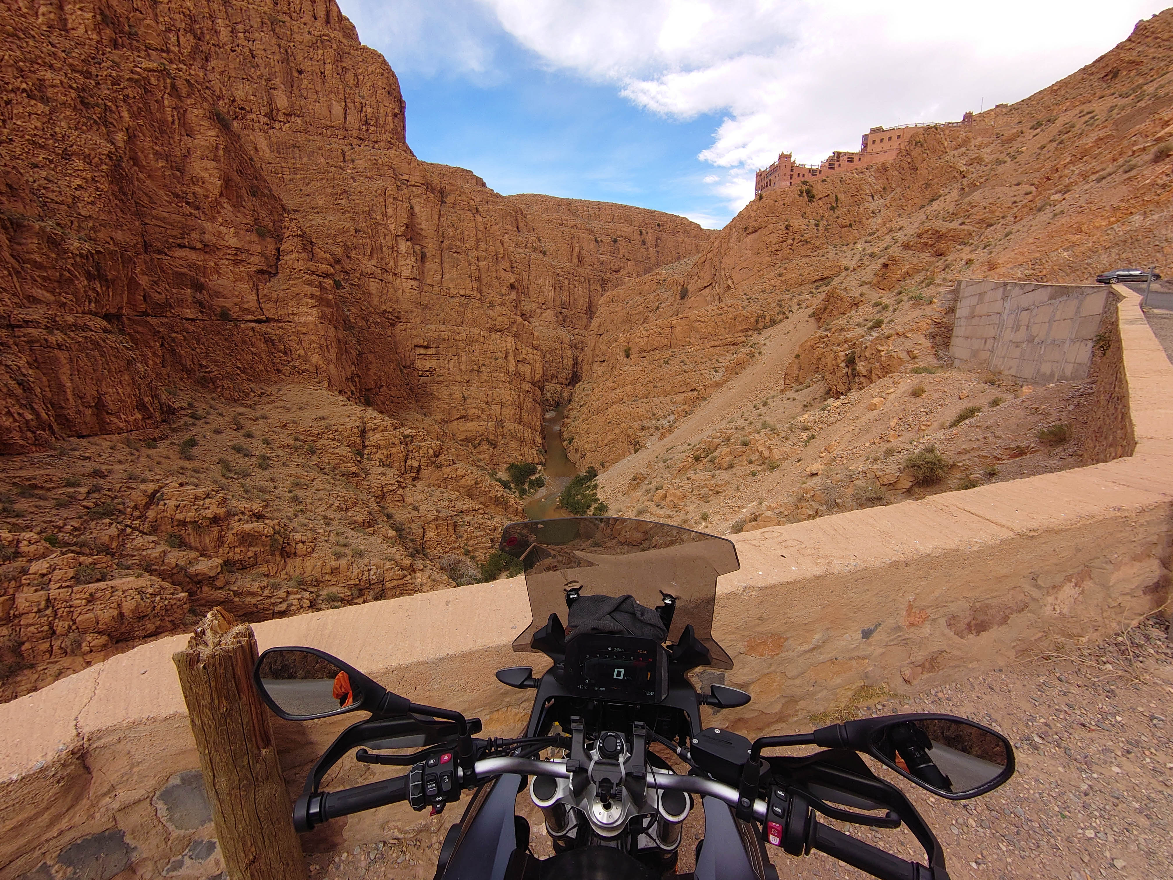
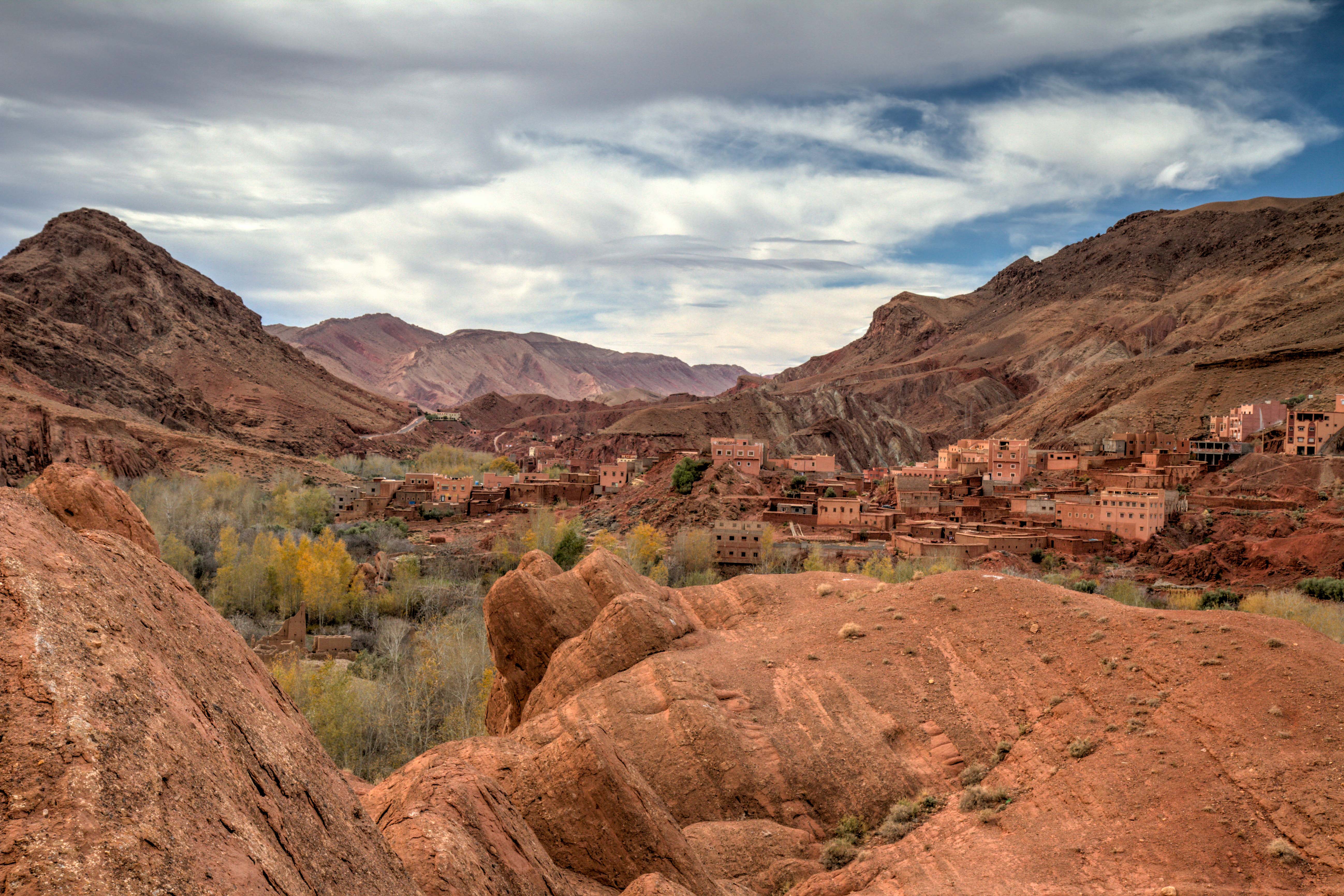
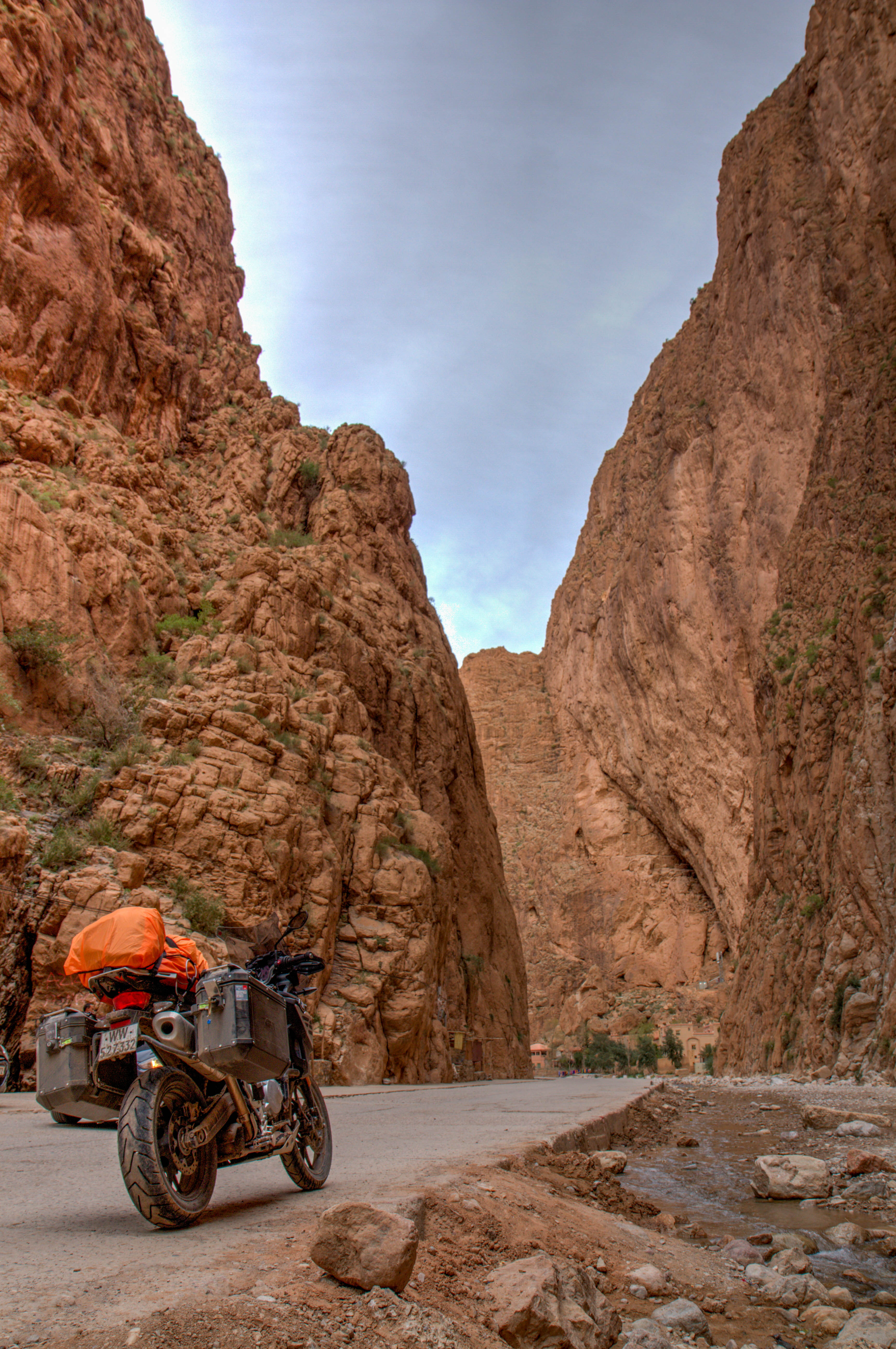
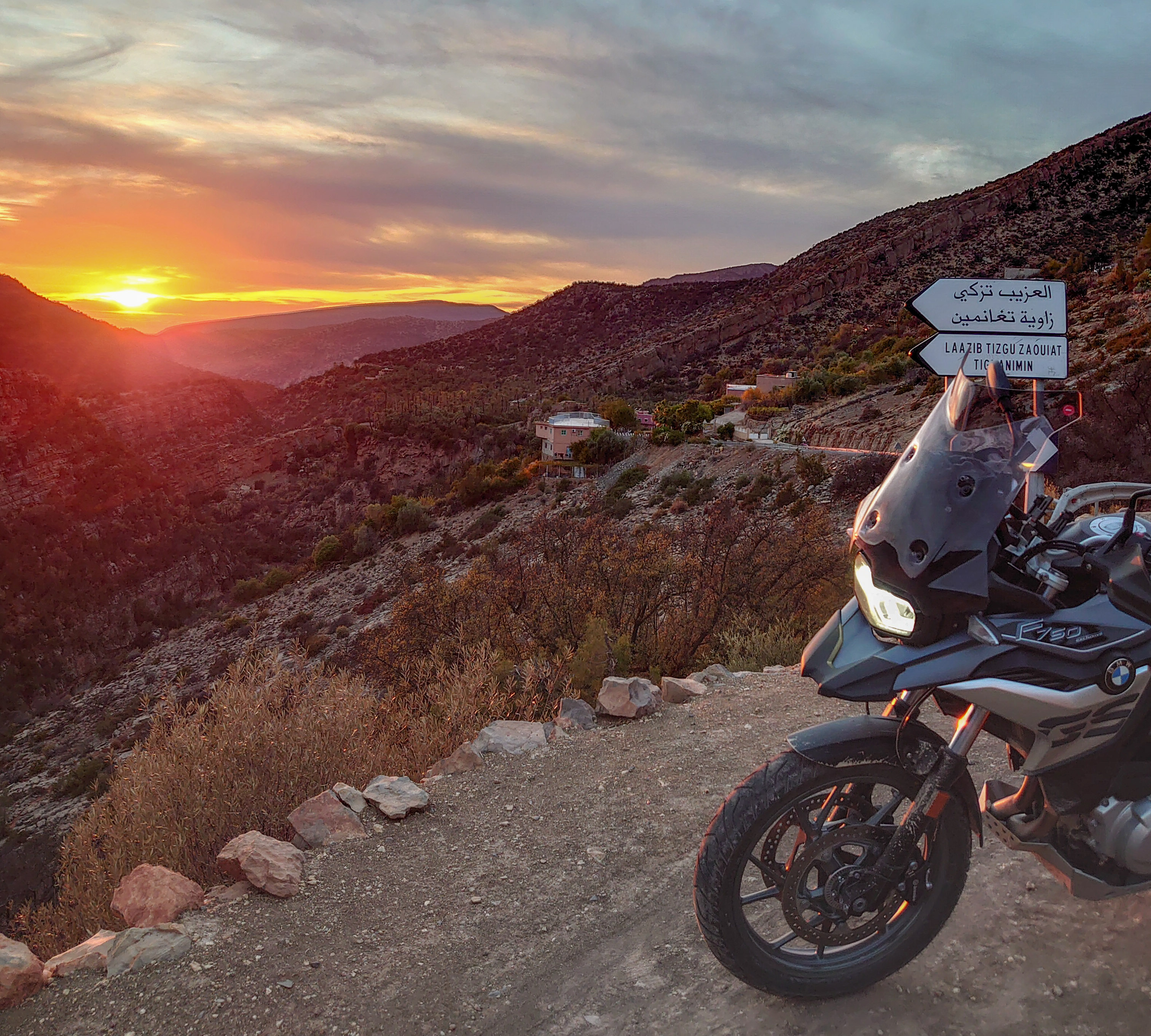
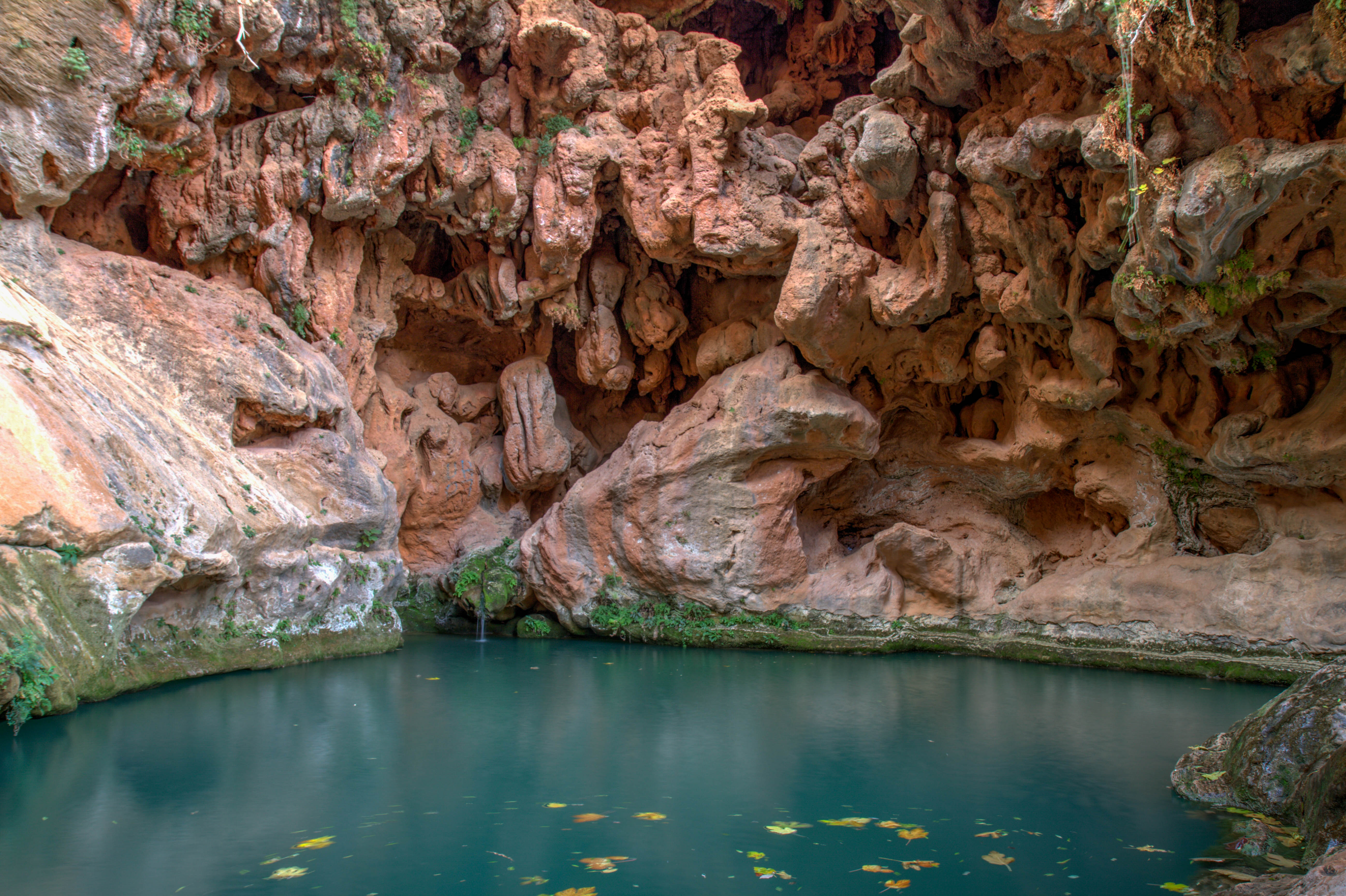
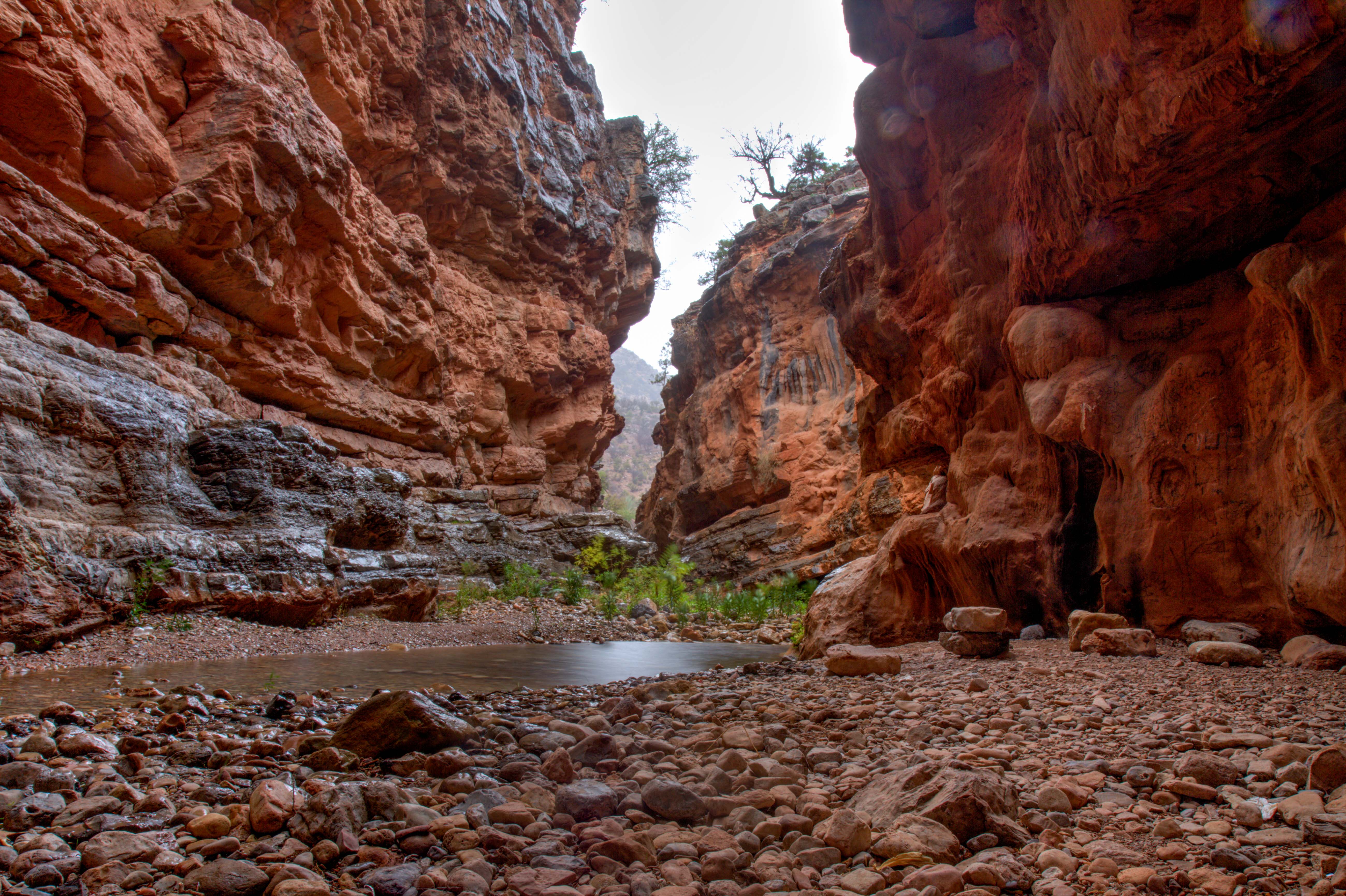
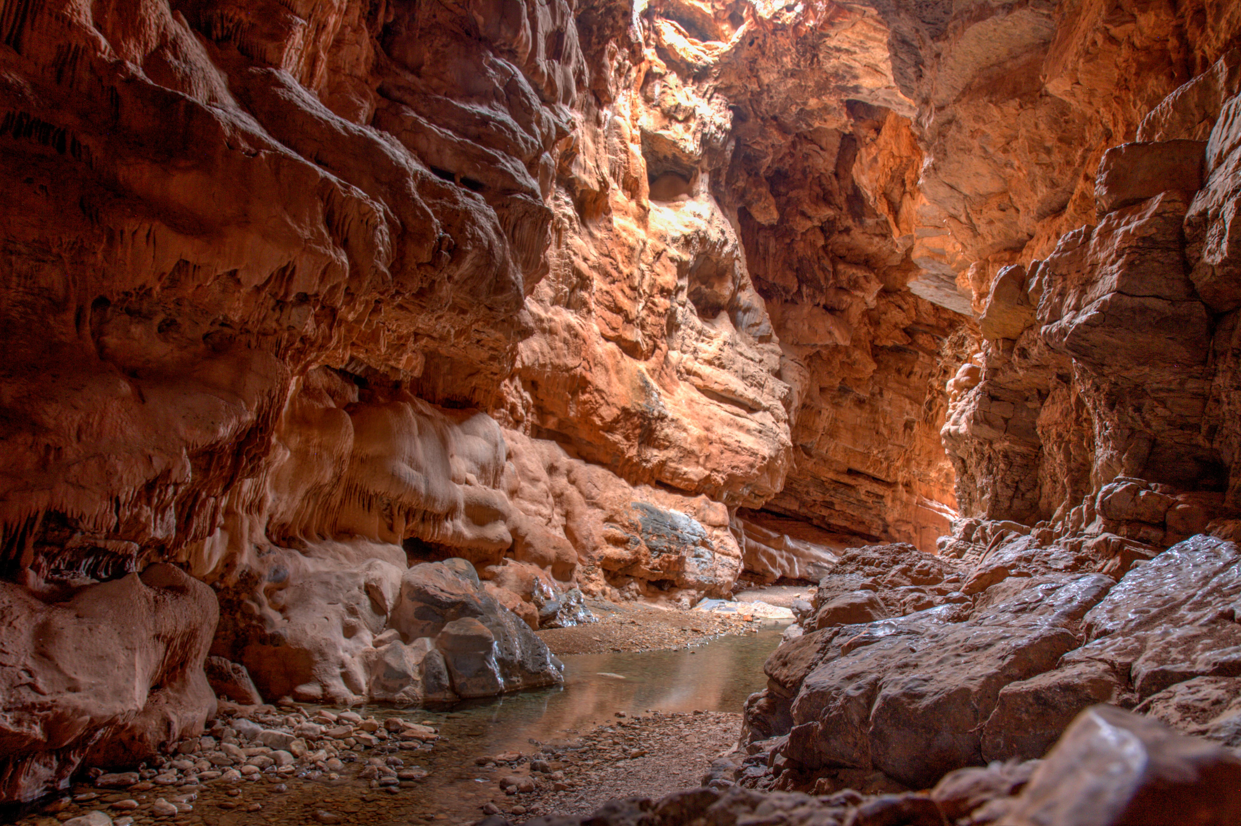
Todra Gorges are a series of limestone river canyons in the eastern part of the High Atlas Mountains in Morocco.
Both the Todgha and neighbouring Dades Rivers are responsible for carving out these deep cliff-sided canyons, on their final 40 kilometres through the mountains.
Todgha Gorge, Morocco
Todgha Gorge, Morocco
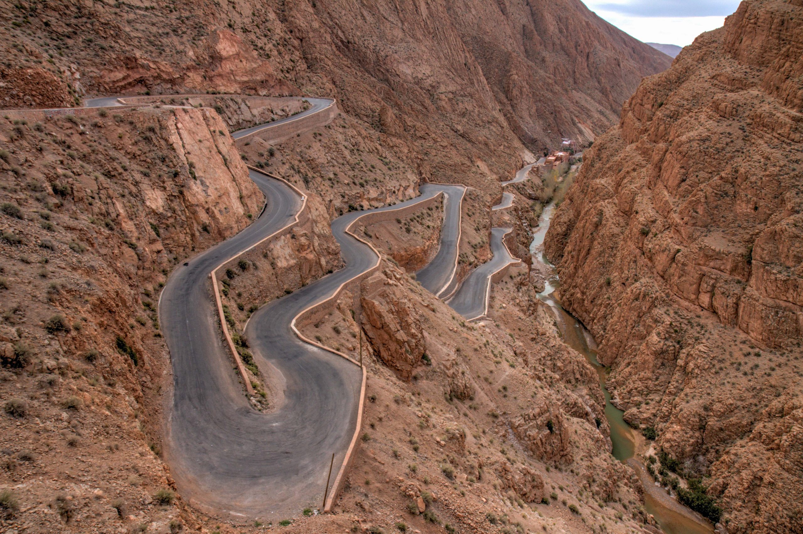
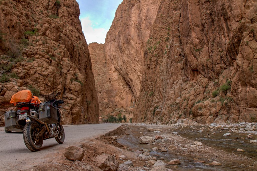
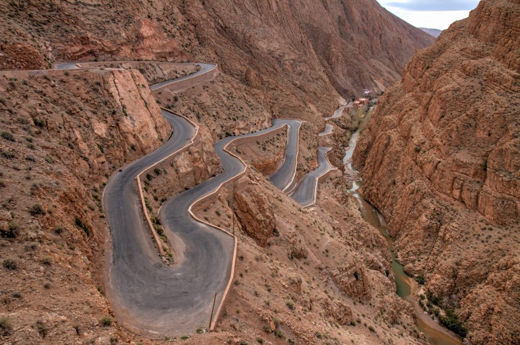
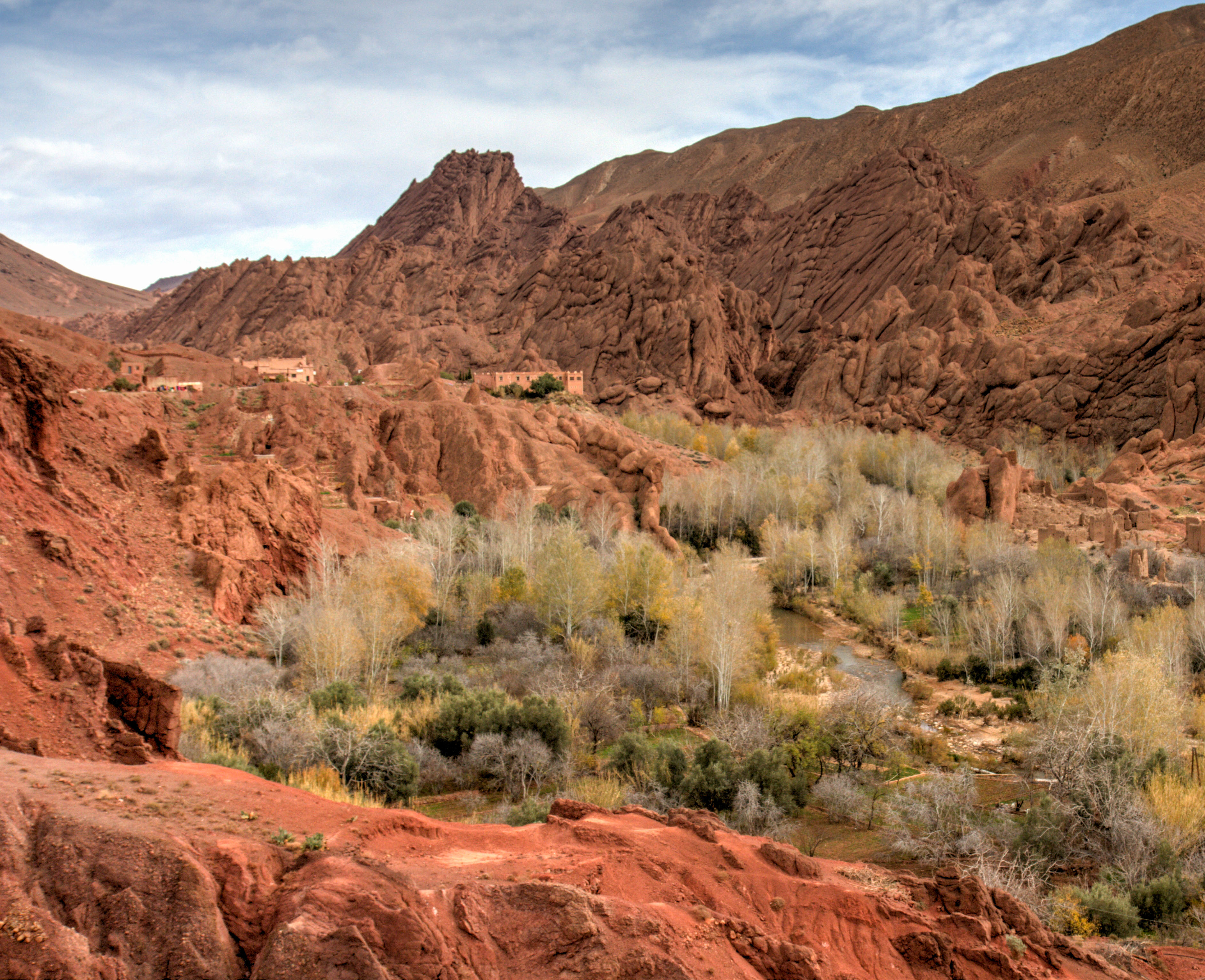
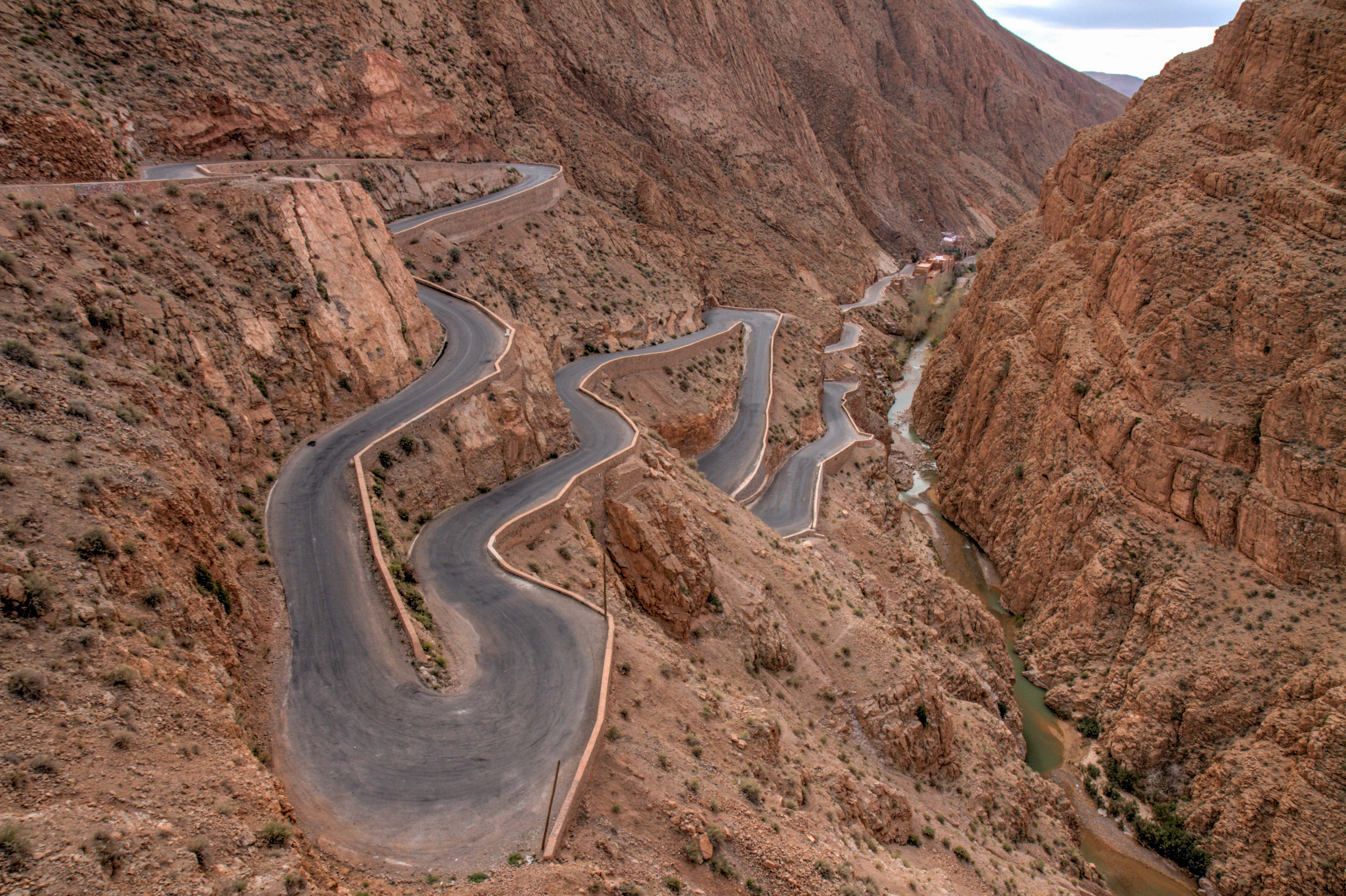
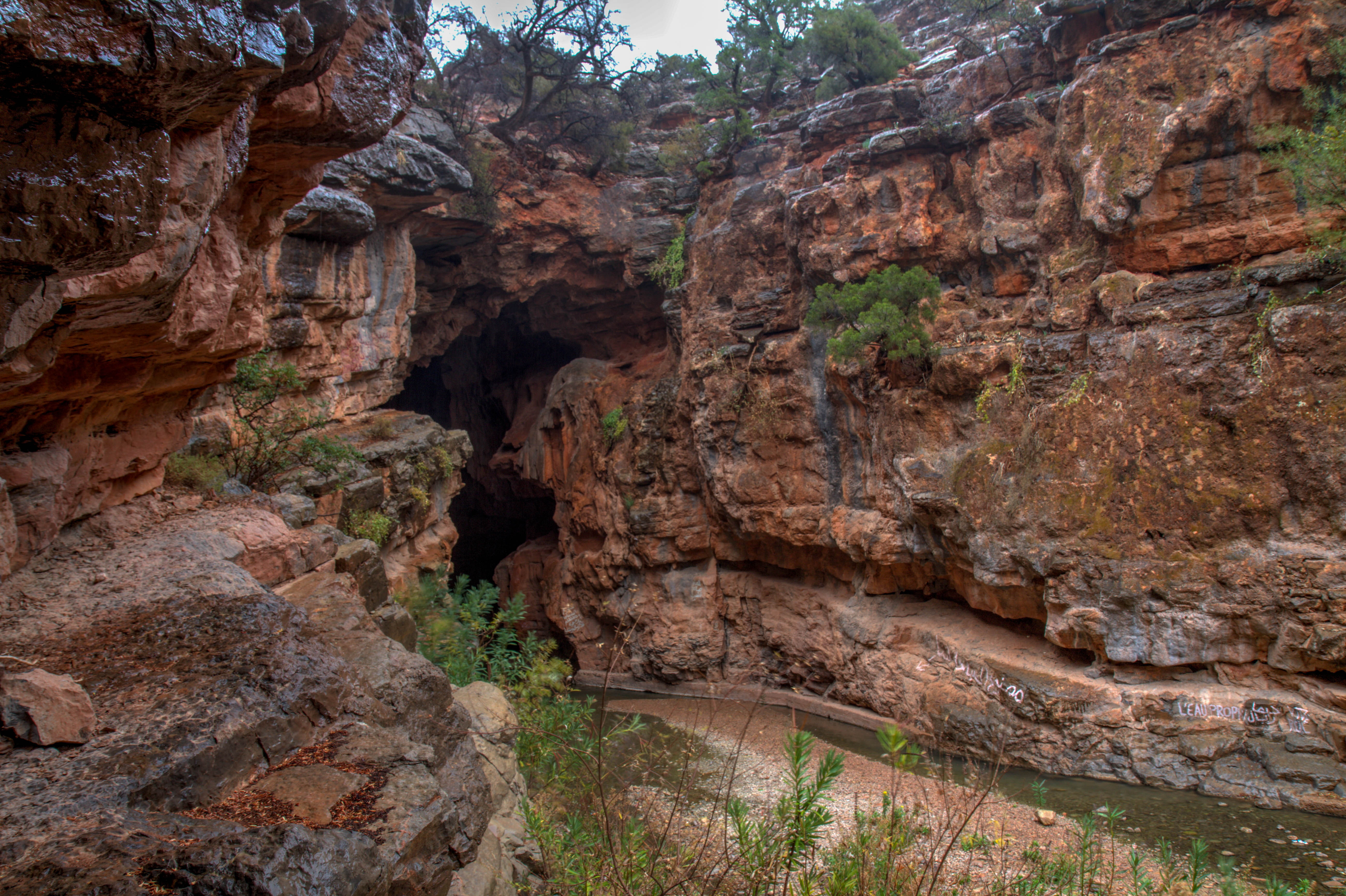
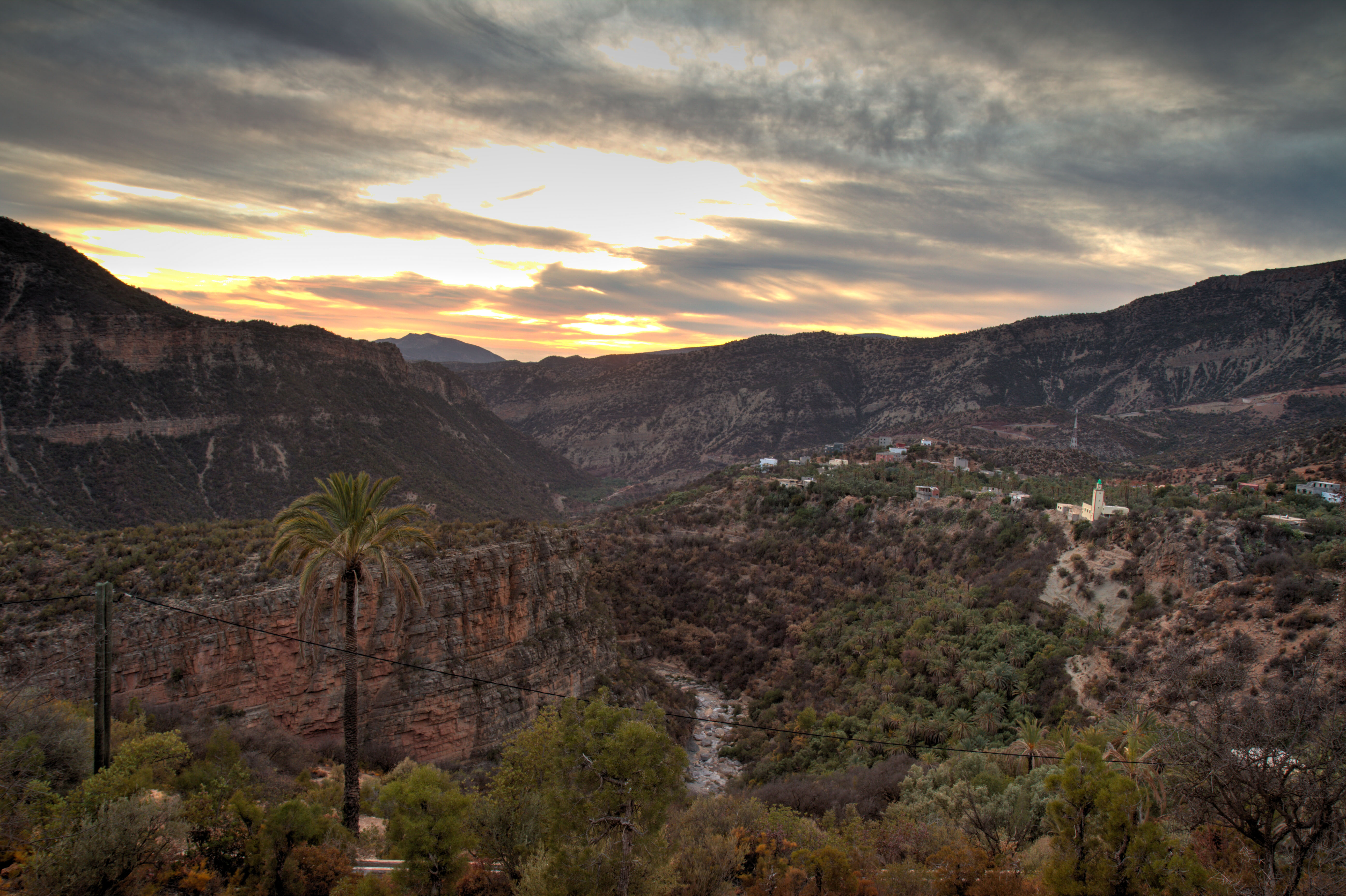
Gorges Dadés
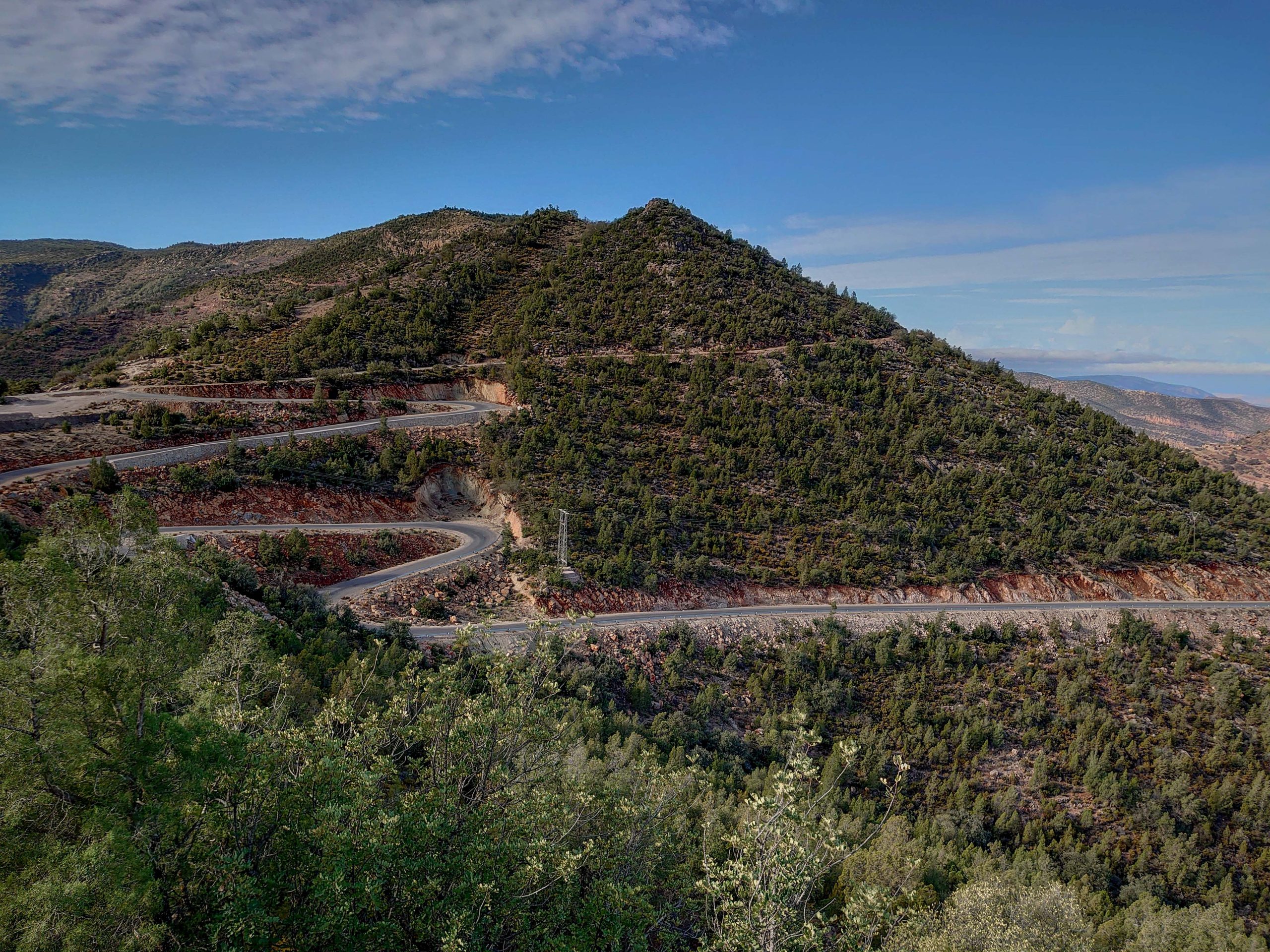
The Dadès Gorge are a series of rough-cut mountain valleys carved by the Dadès River. The river originates in the High Atlas Mountains and flows some 320 kms southwest before joining the Draa River at the edge of the Sahara. The many-colored walls are thrilling to ride through.
Weather: Spring – Peak season | Summer – Scorching heat | Autumn | Mid season | Winter – Lovely Day temps, Cold at night (around 6 degrees)
Highlights
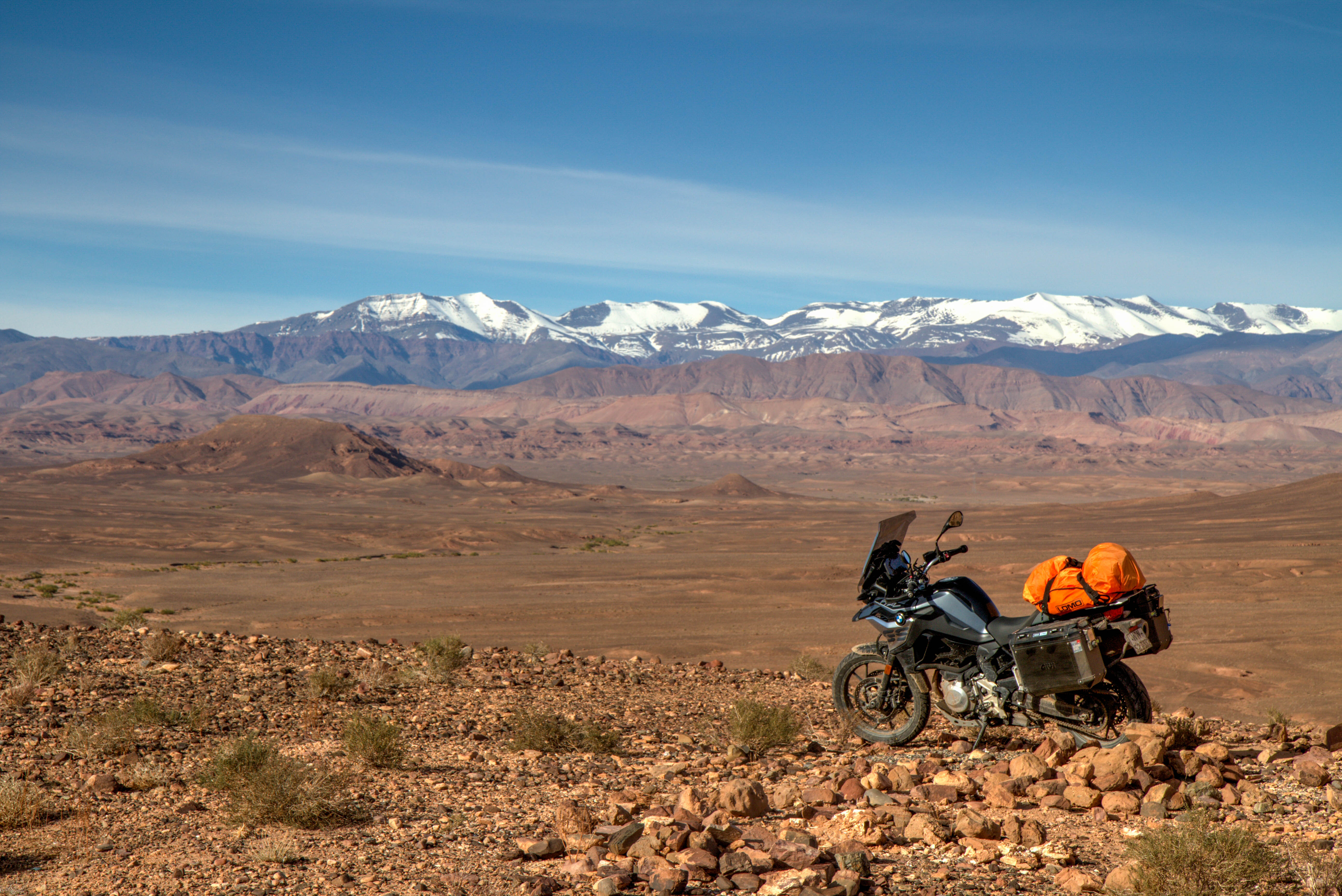
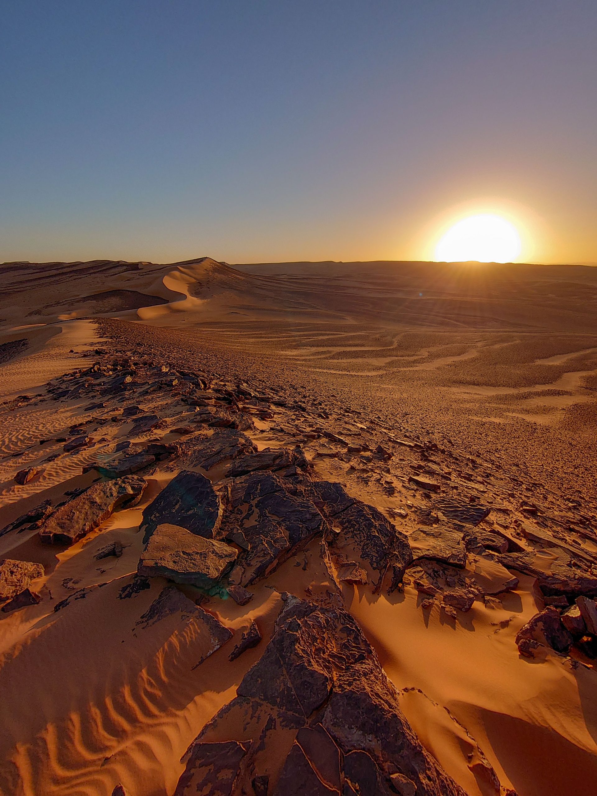
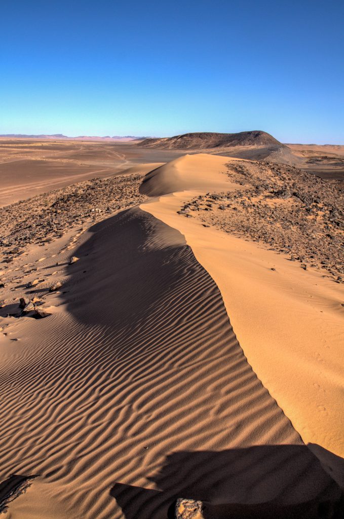
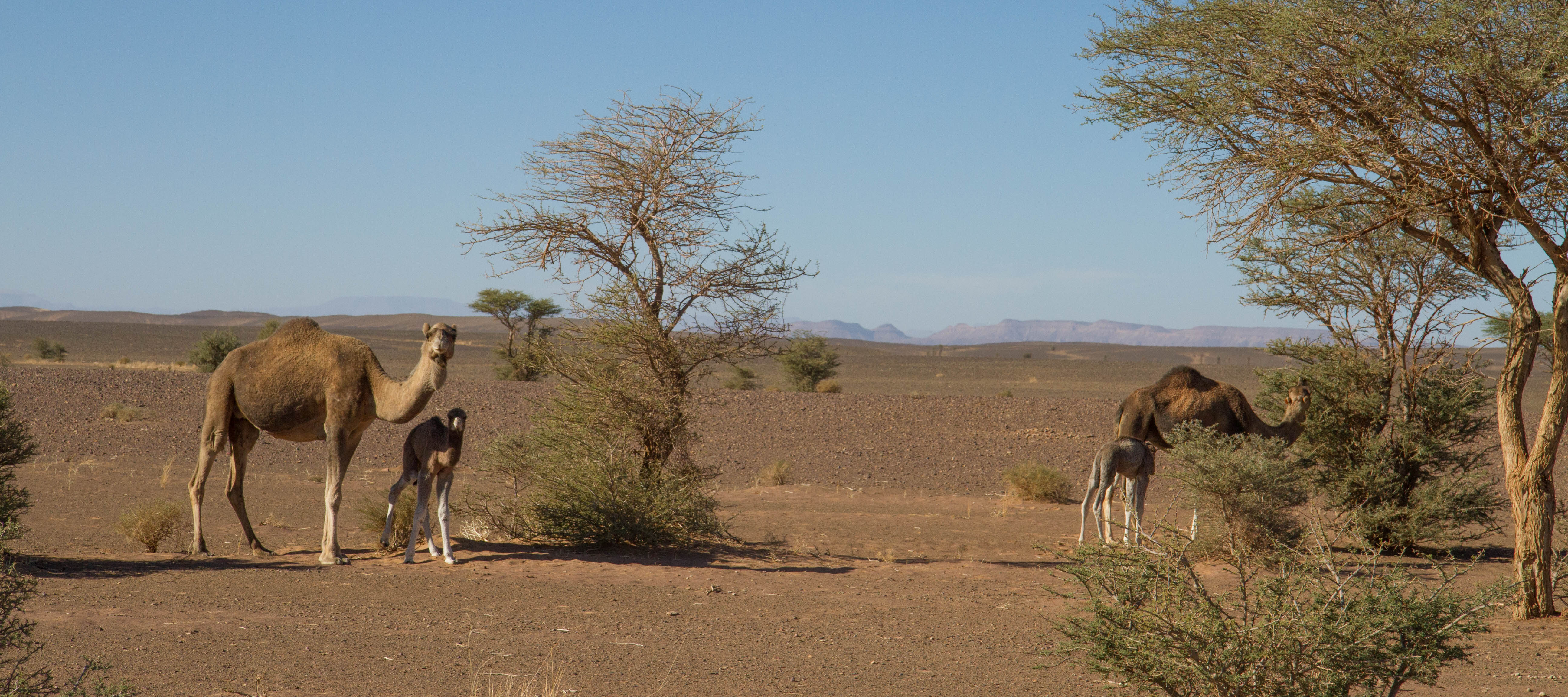
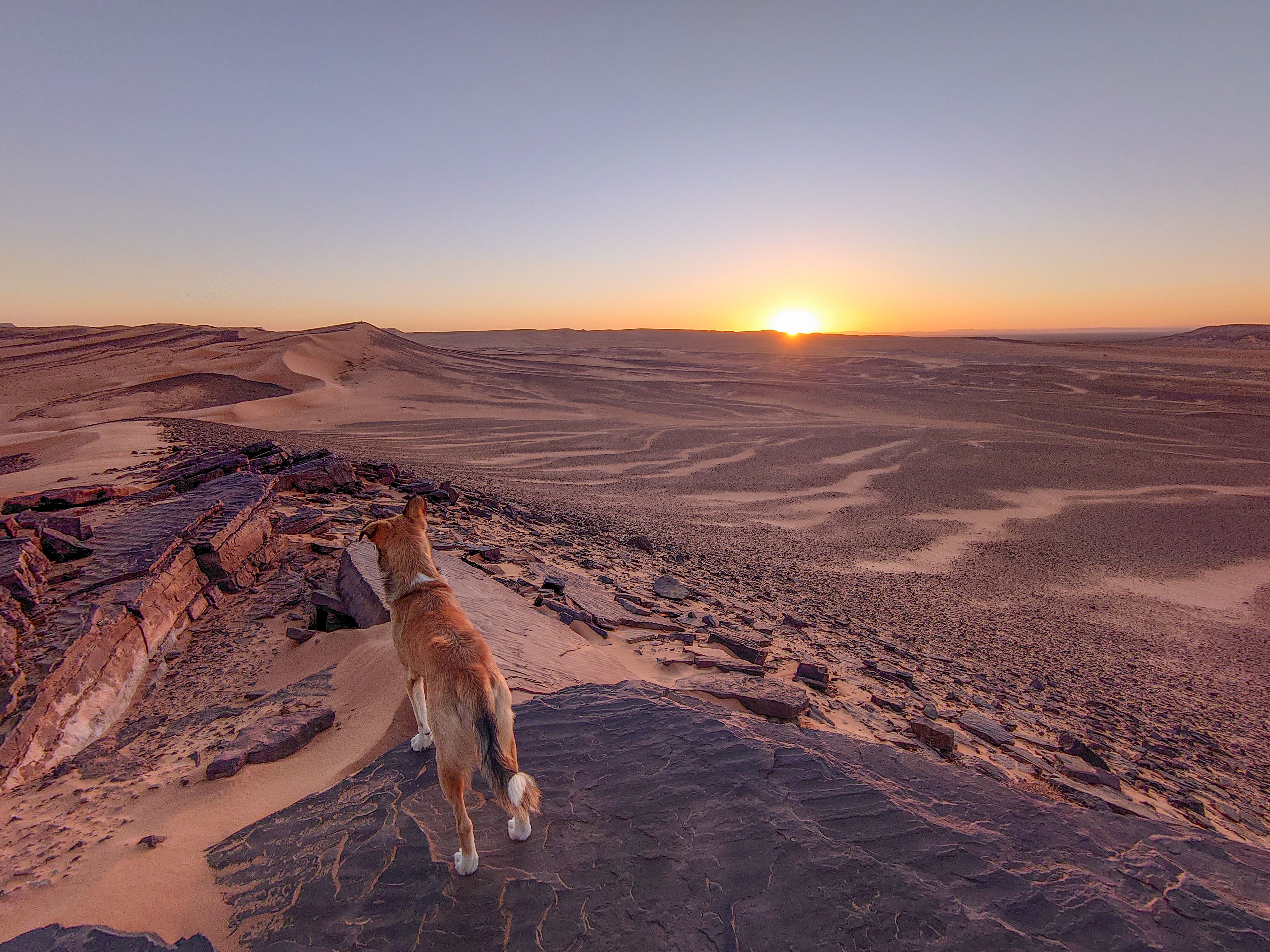
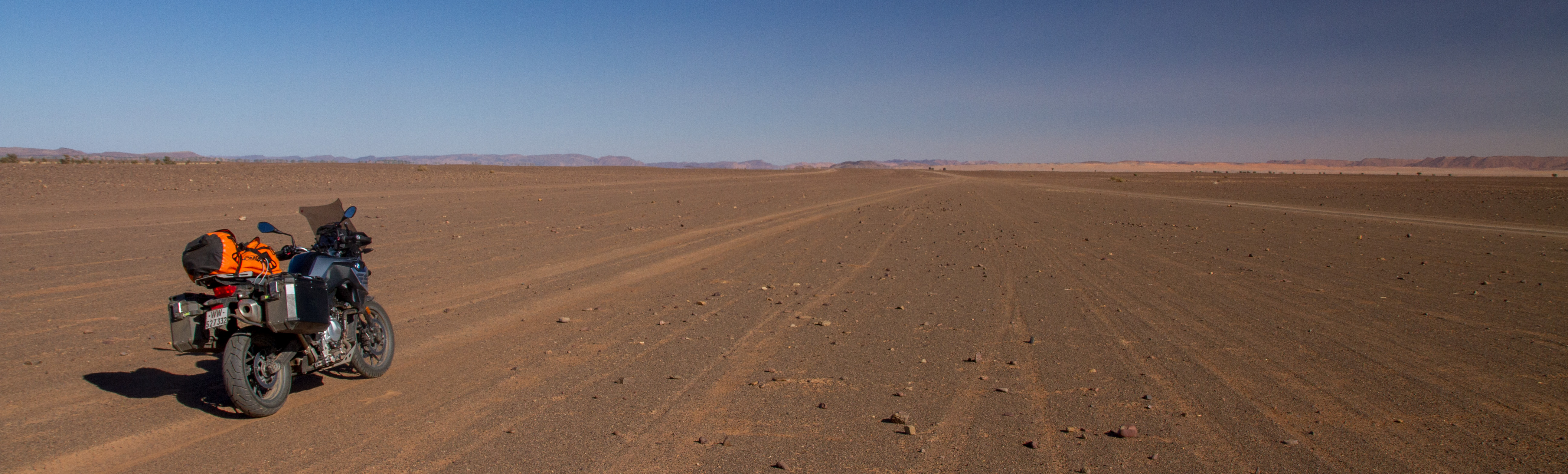
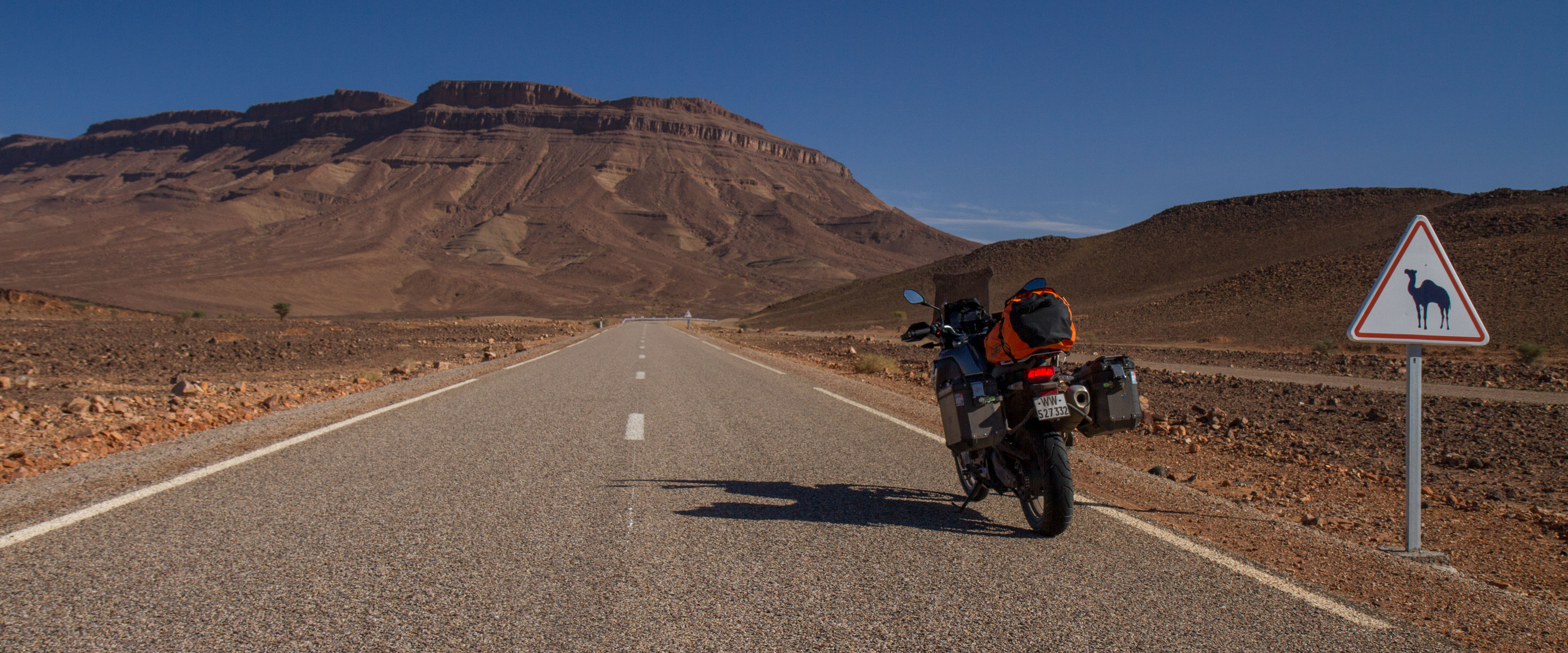
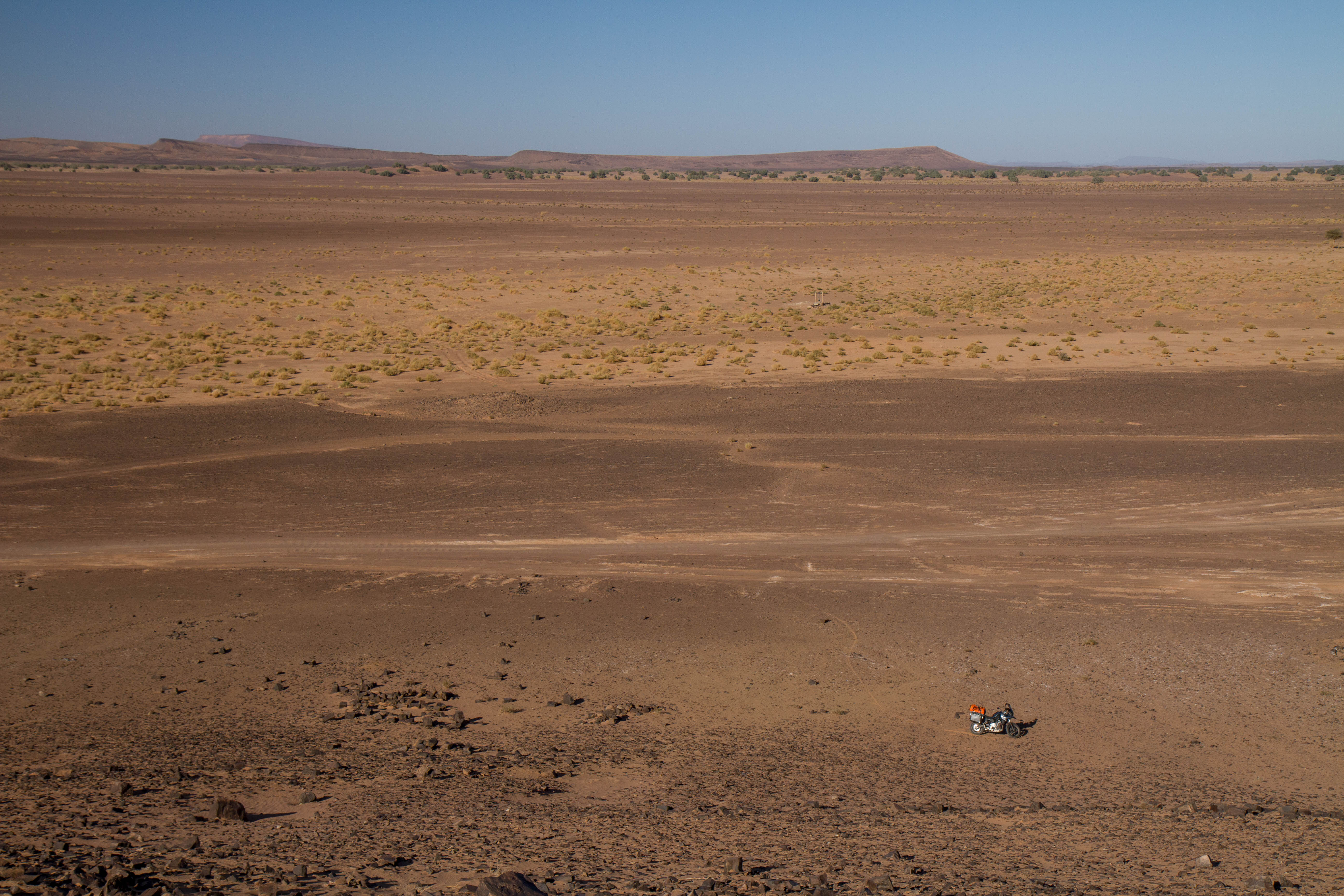
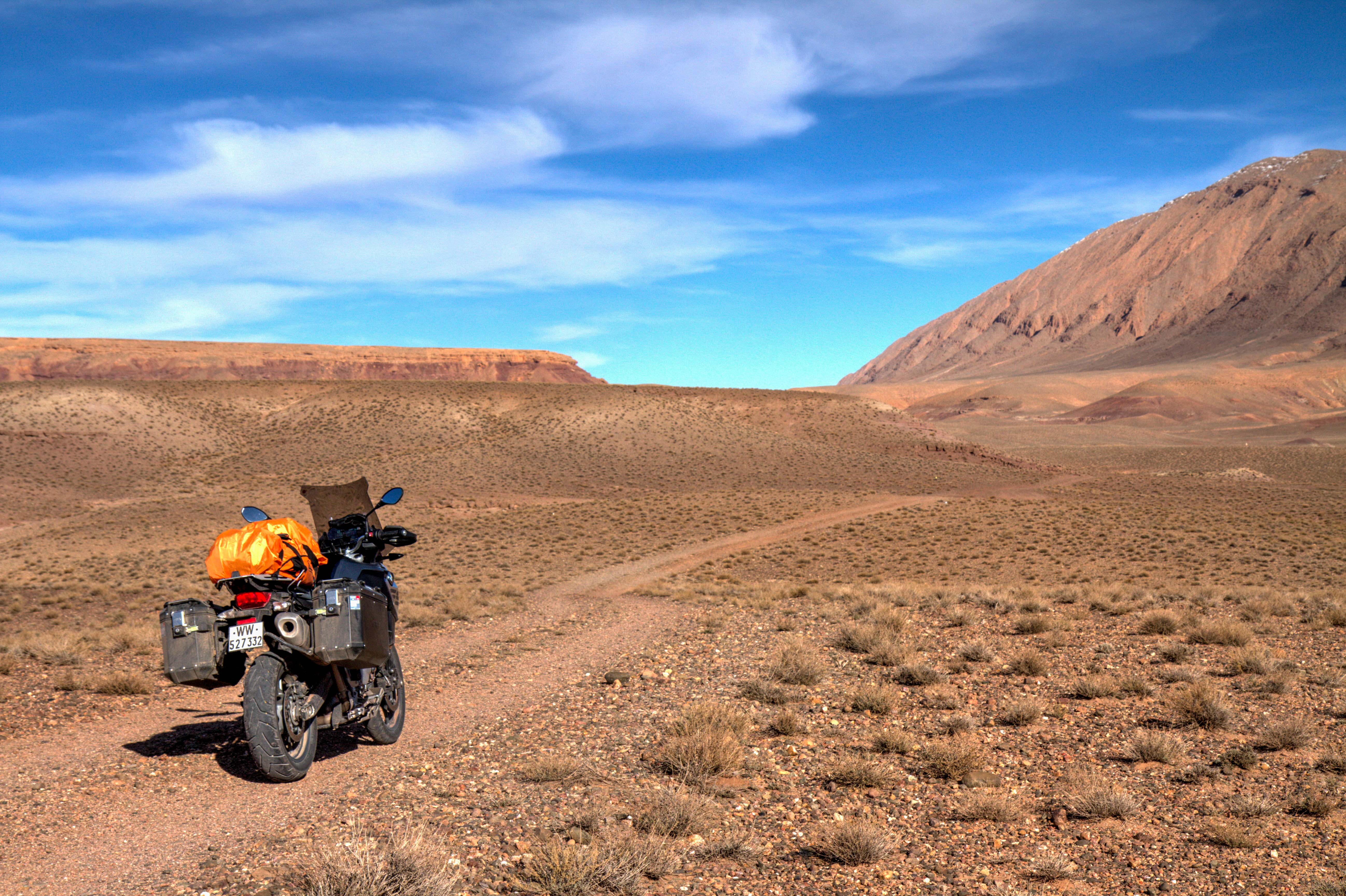
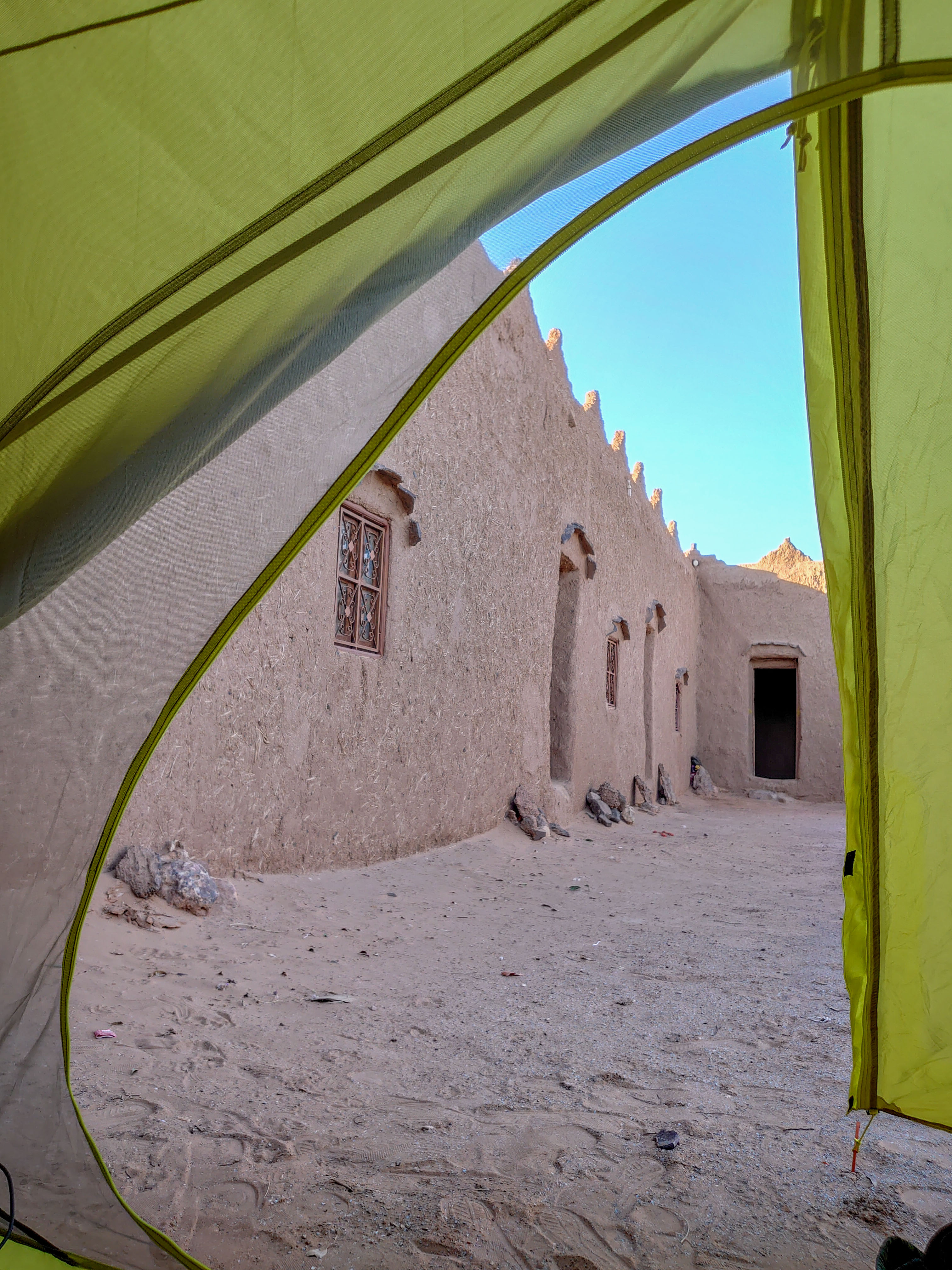
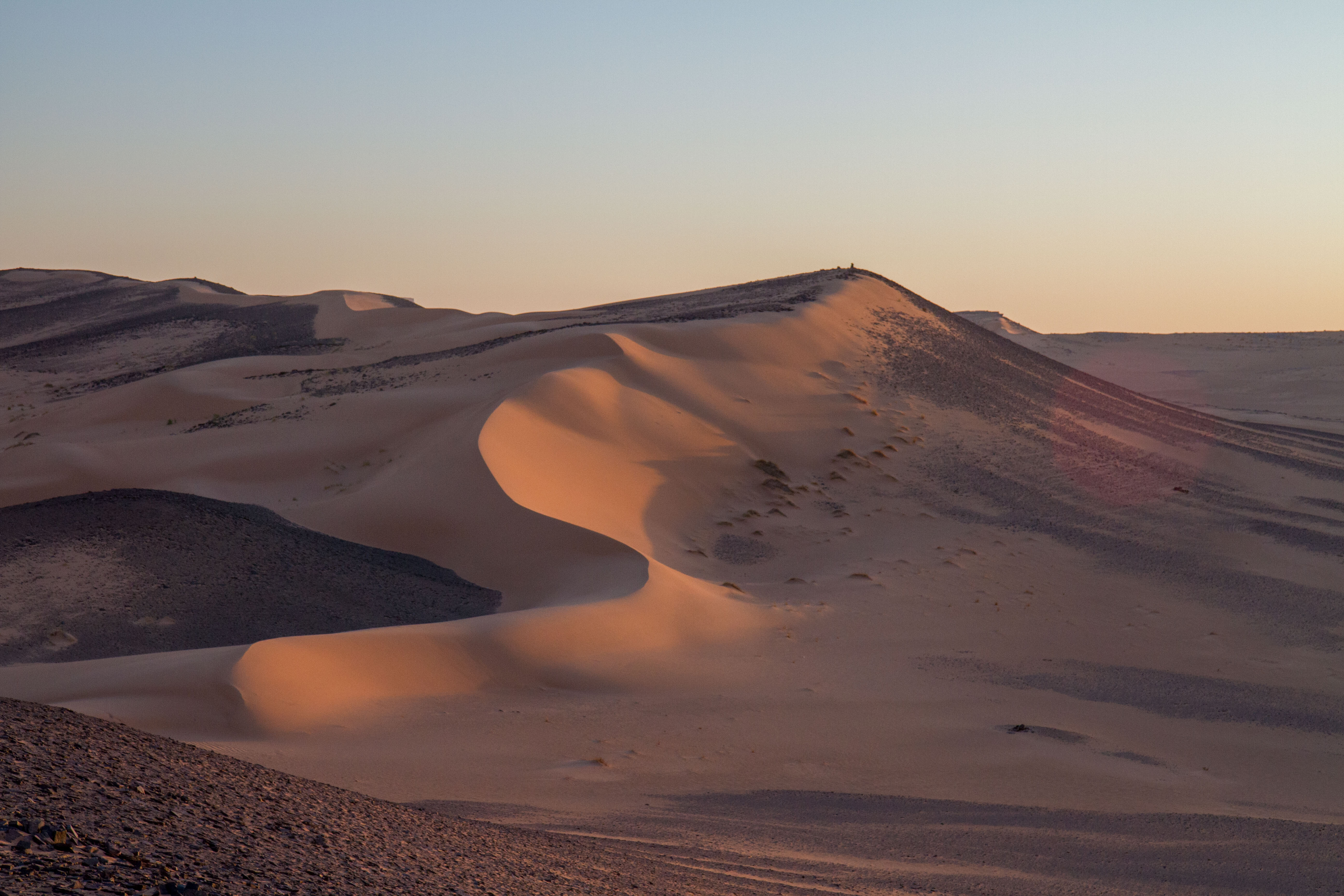
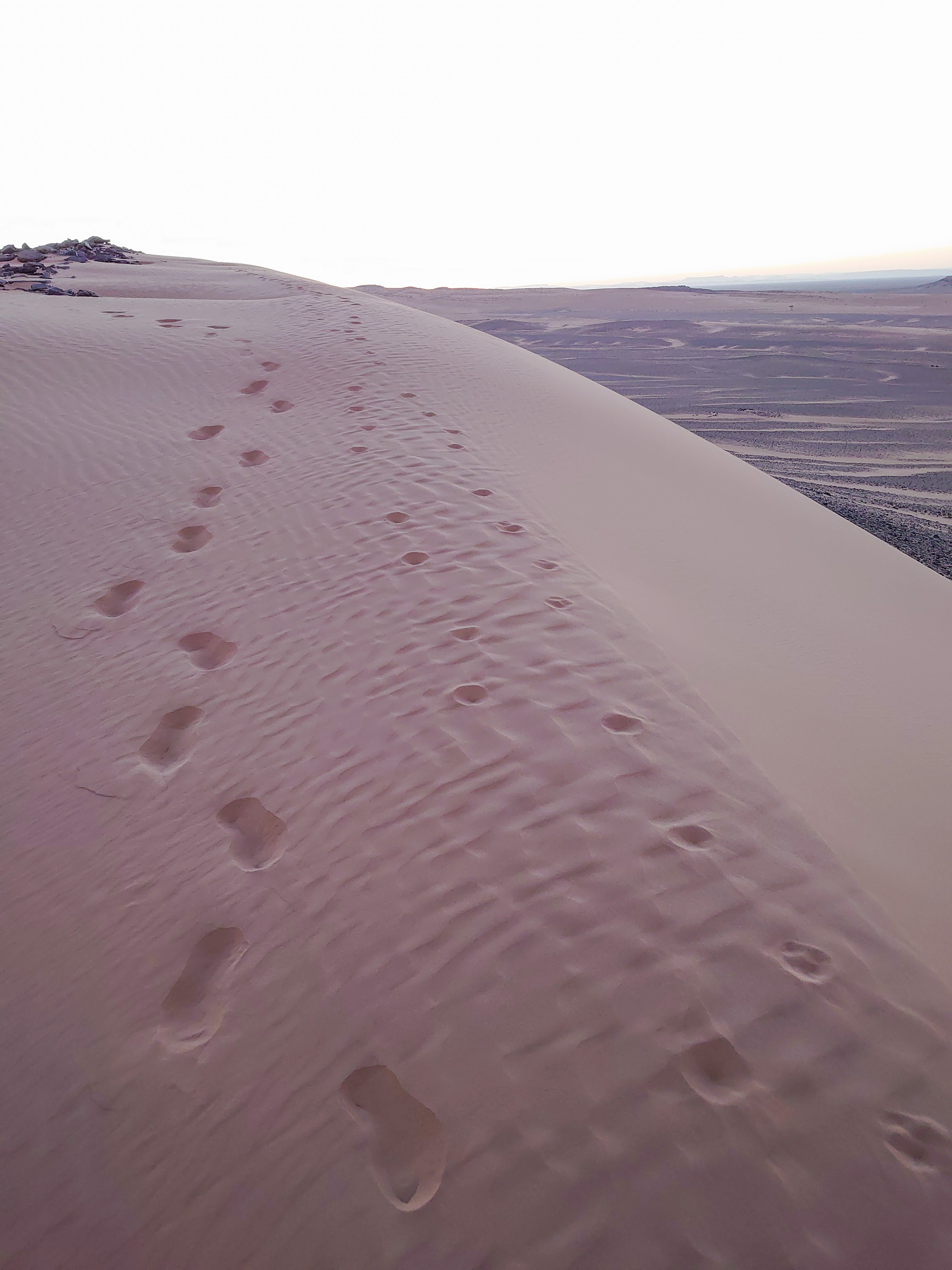
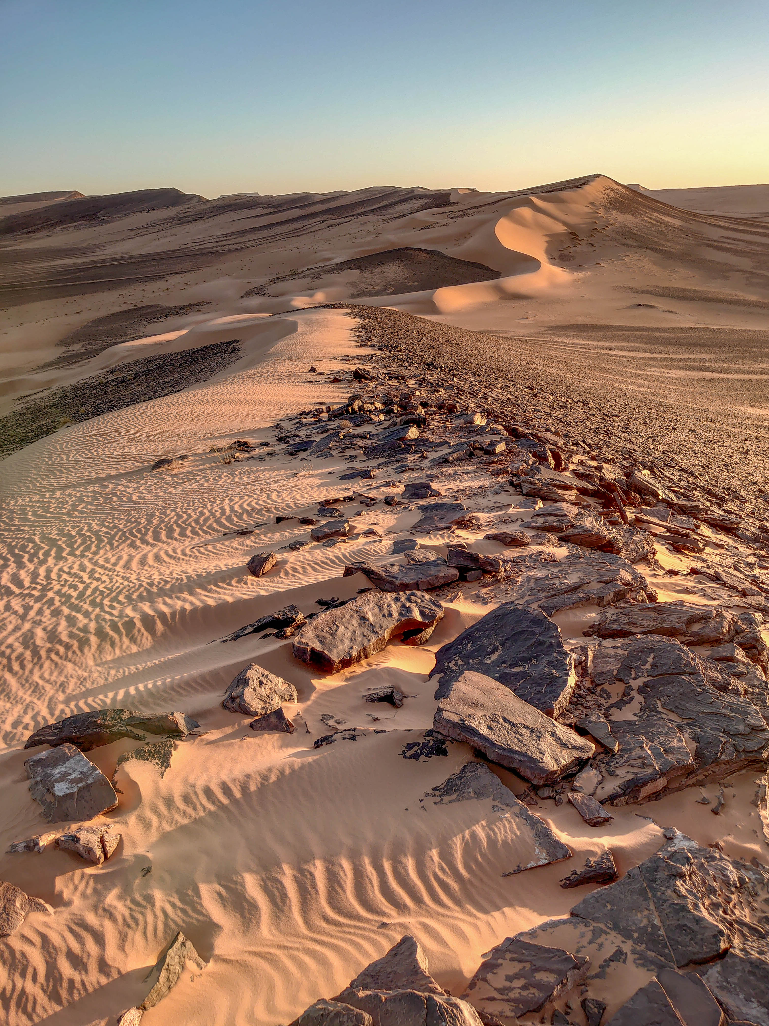
Sahara Desert
The hottest desert in the world and comparable to the size of USA or China. The Sahara section in Morocco is easily accessible with good tarmac roads and enough dirt trails to explore for days.
This city in the Sous Valley in southern Morocco. It is situated east of Agadir on the road to Ouarzazate and the Sahara desert and south of Marrakesh. The town is known as the “Grandmother of Marrakesh” because it looks like a smaller Marrakesh with its surrounding ramparts. In the sixteenth century, the Saadi dynasty briefly used Taroudant as a capital before it moved its royal seat onwards to Marrakesh.
To the tourist, Taroudant is much less touristy than the grandfather, Marrakech.
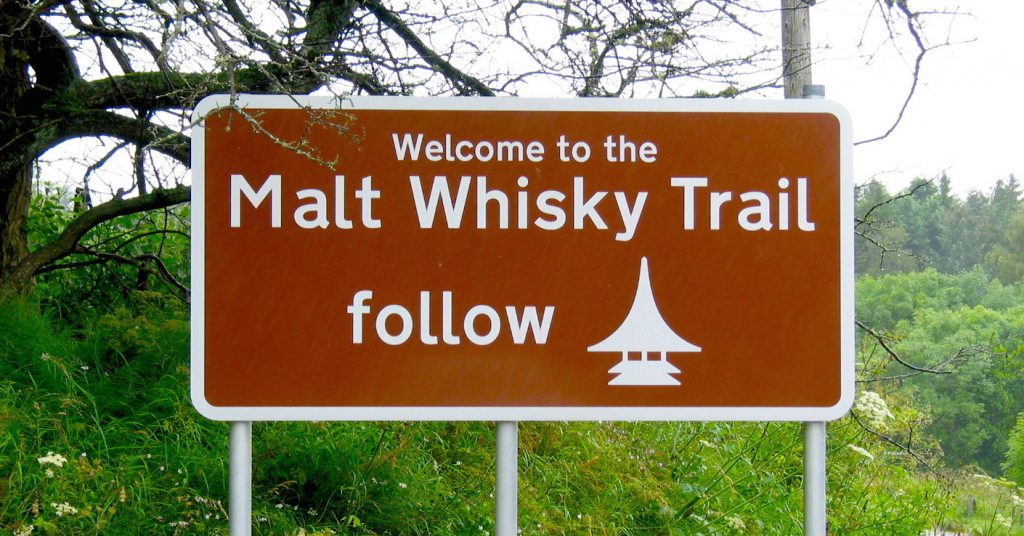
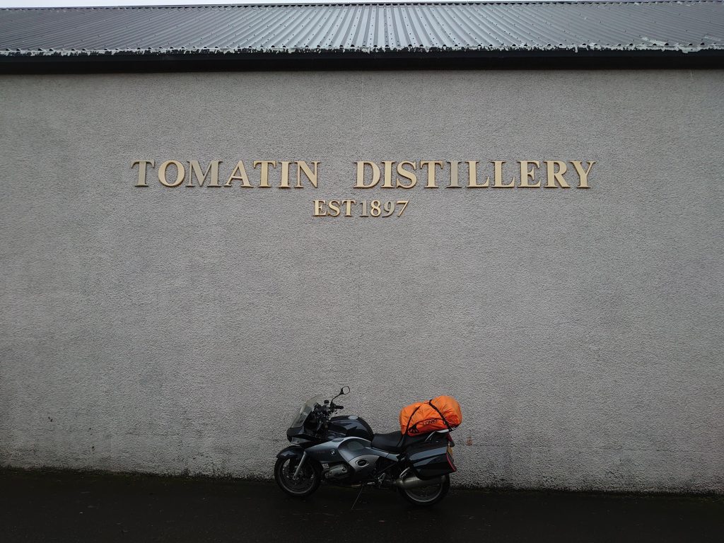
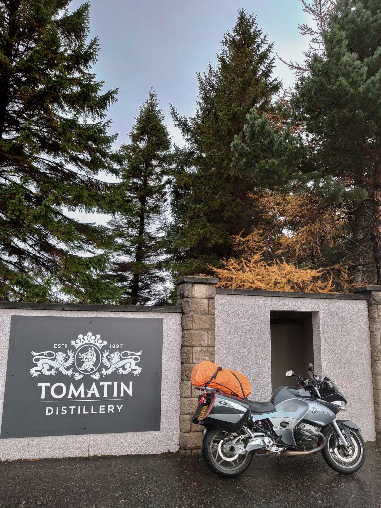
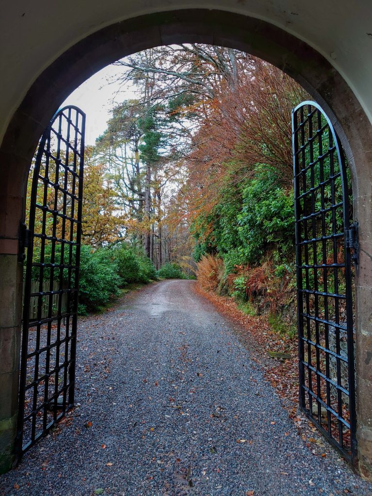
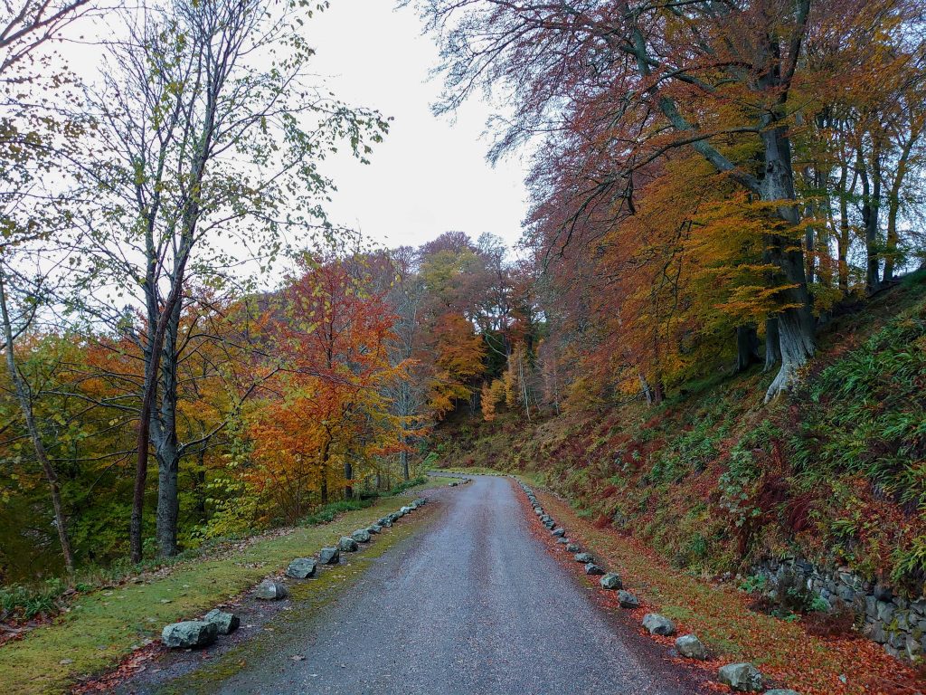
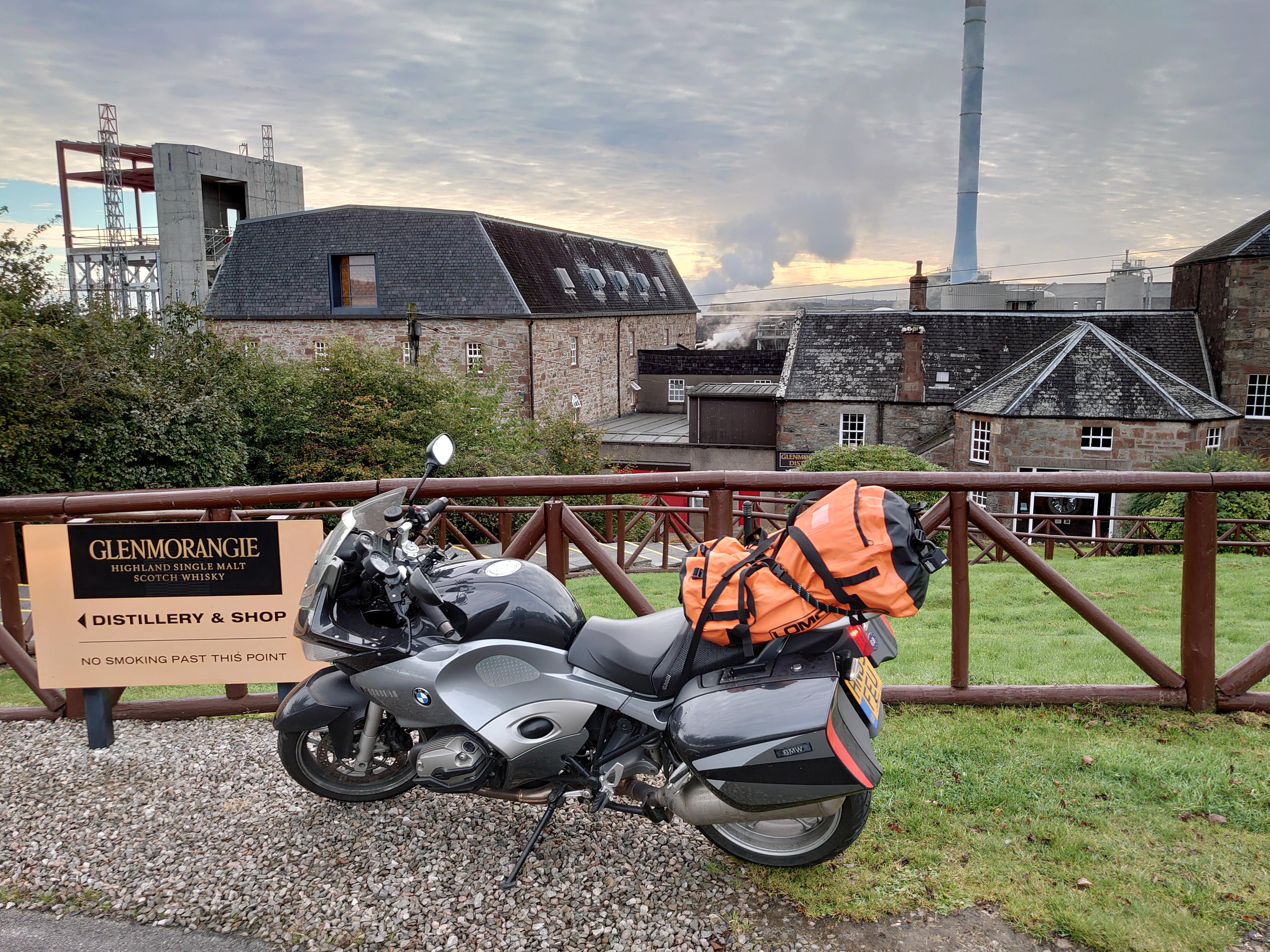
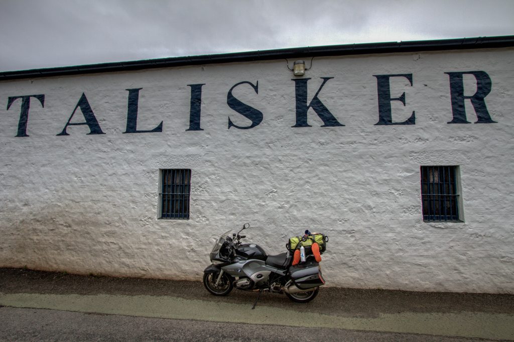
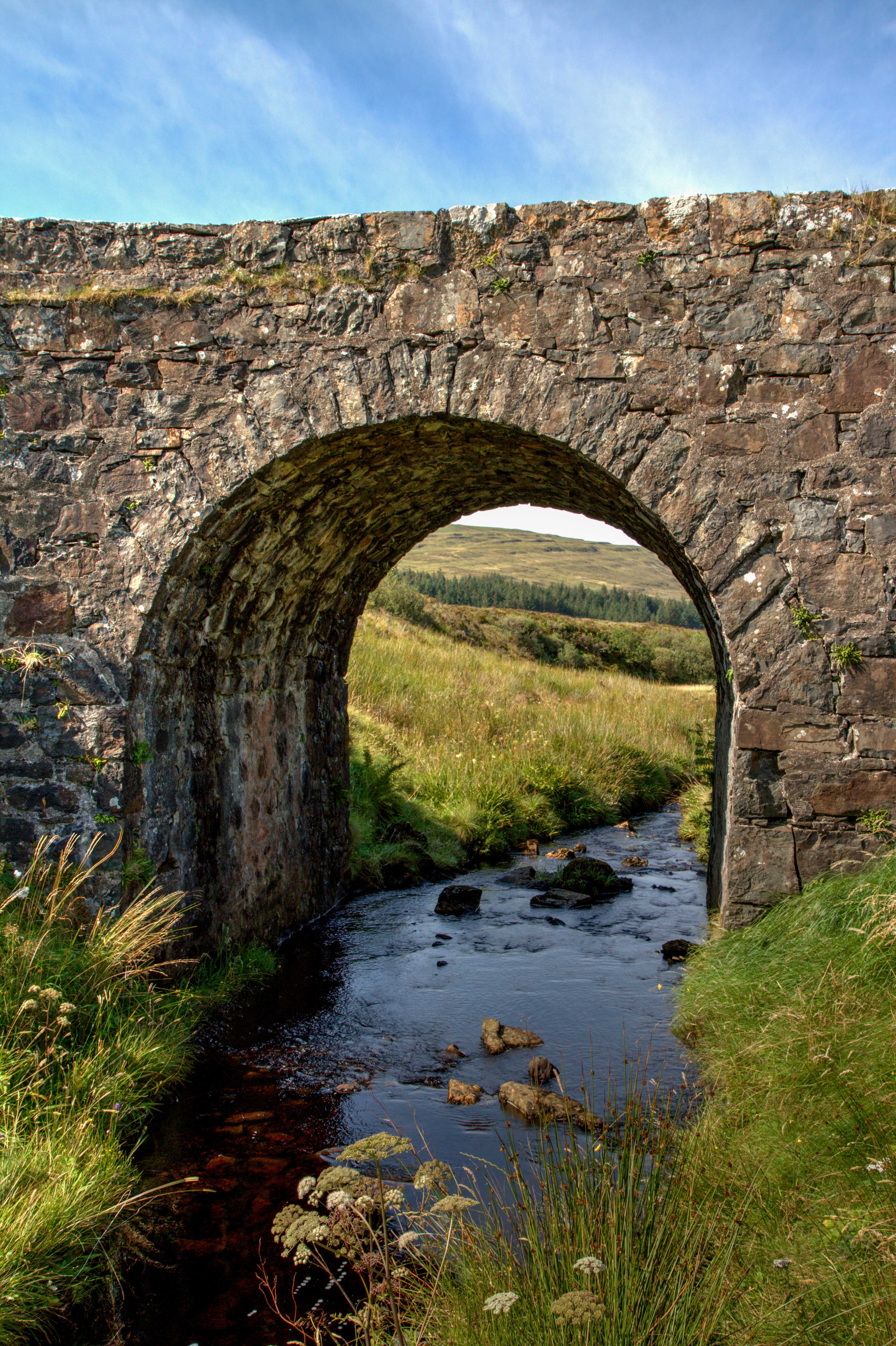
This Epic Ride takes place in Scotland, on a route is known as the Malt Whiskey trail. The short ride passes through the biggest cluster of Malt Whiskey Distilleries.
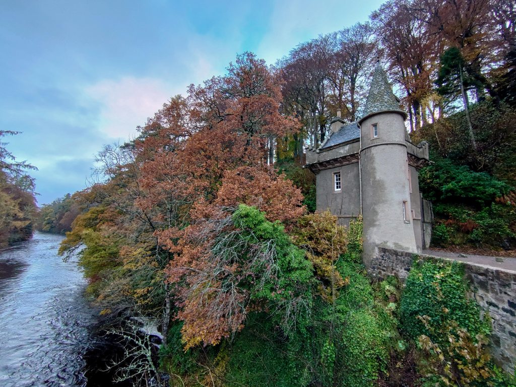
Nestled deep in the beautiful Spey valley, Ballindalloch Castle has been the home of the Macpherson-Grant family since 1546. This Castle and gardens is not a distillery but is definitely worth a visit.
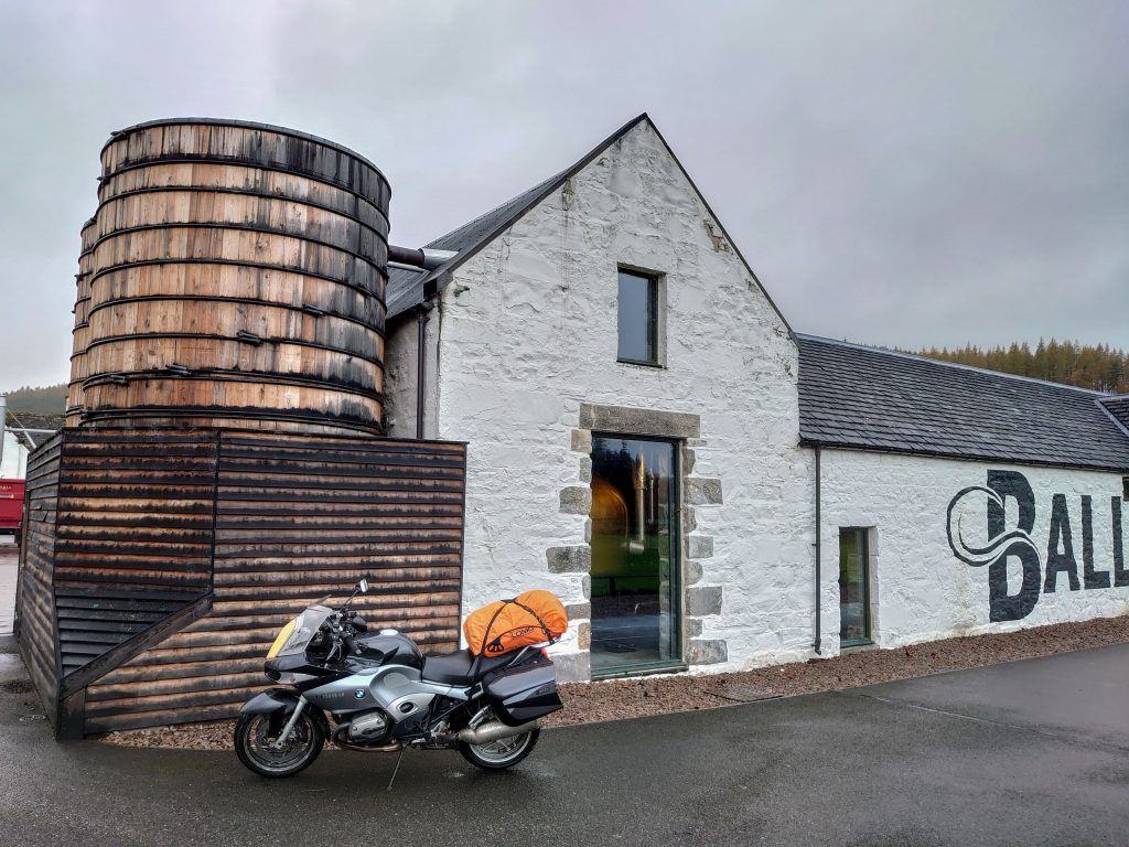
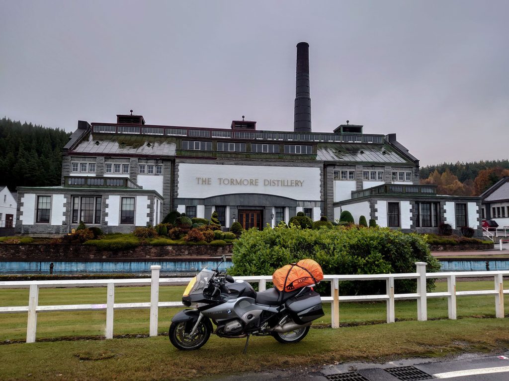
The Tormore is one of the younger Scottish whiskies, the distillery construction began in 1958 and was completed in 1960. It was the first new distillery to be built in the country in the 20th century.. It’s one of the most architecturally striking distilleries as it is made of granite, has copper rotors and a clock which plays four different Scottish songs each quarter of an hour. The topiary hedges in the garden are also clipped to the shape of a bell or still
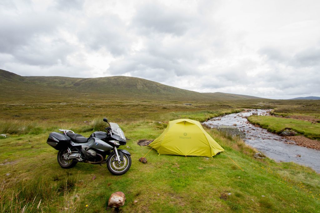
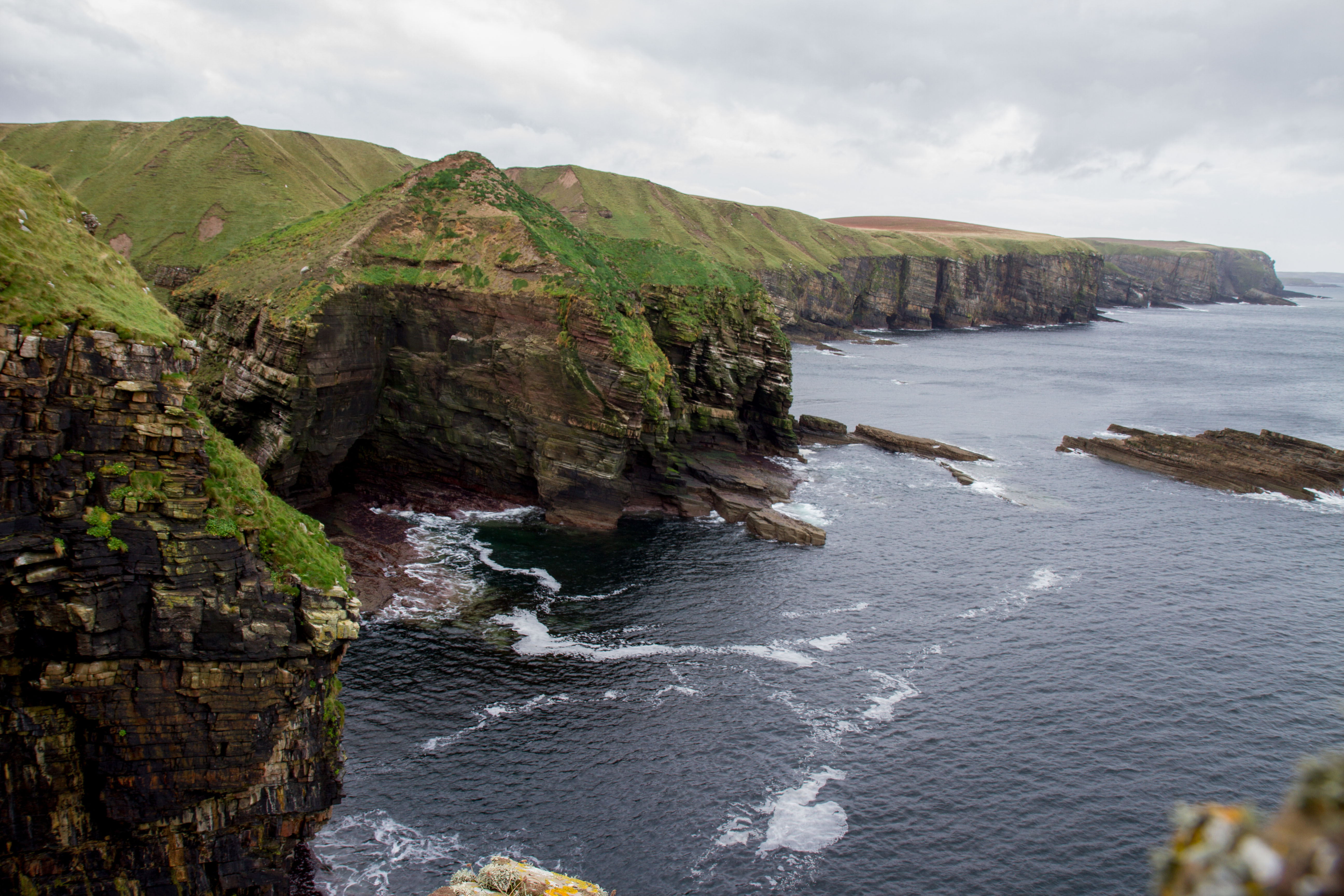
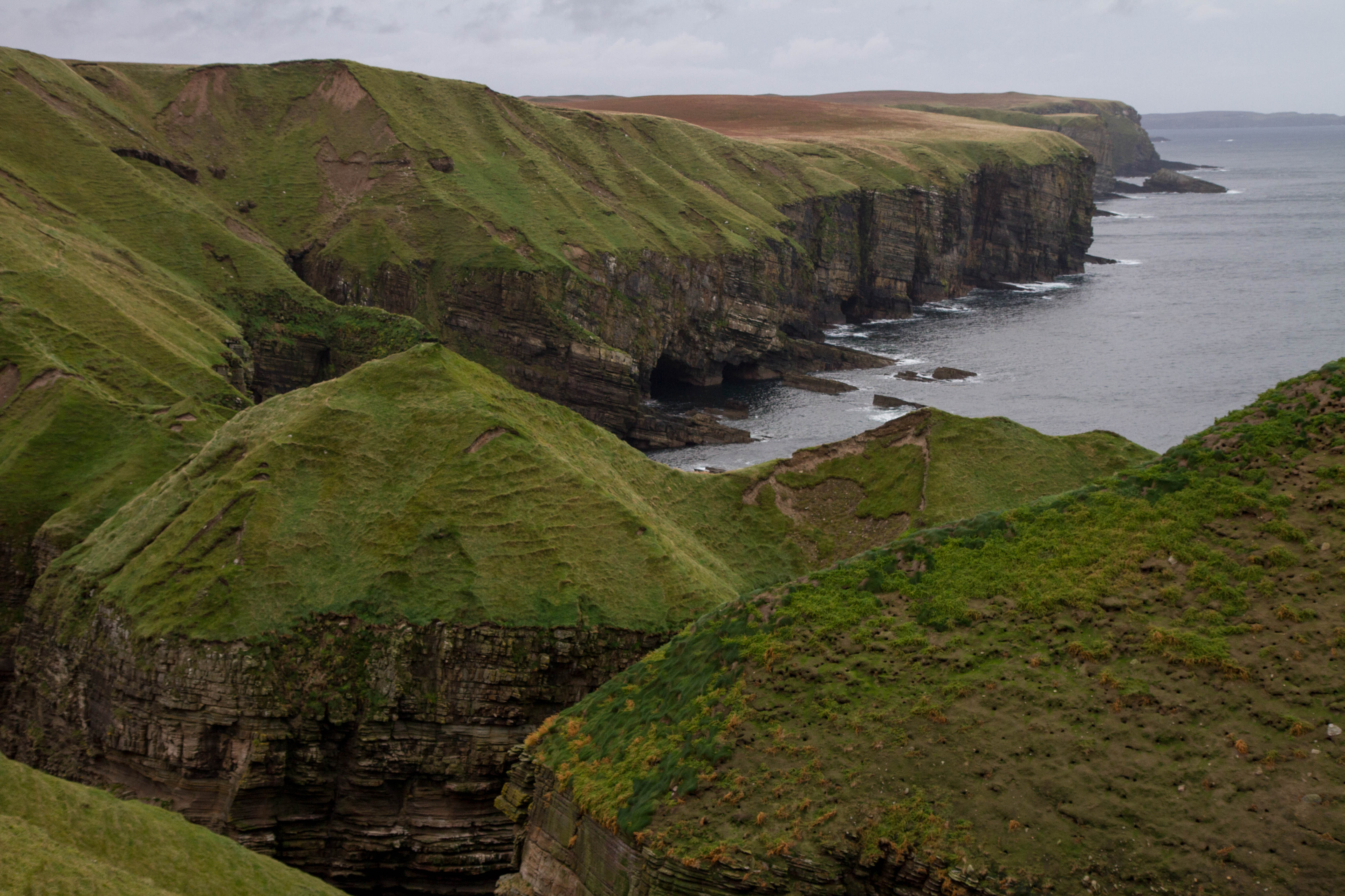
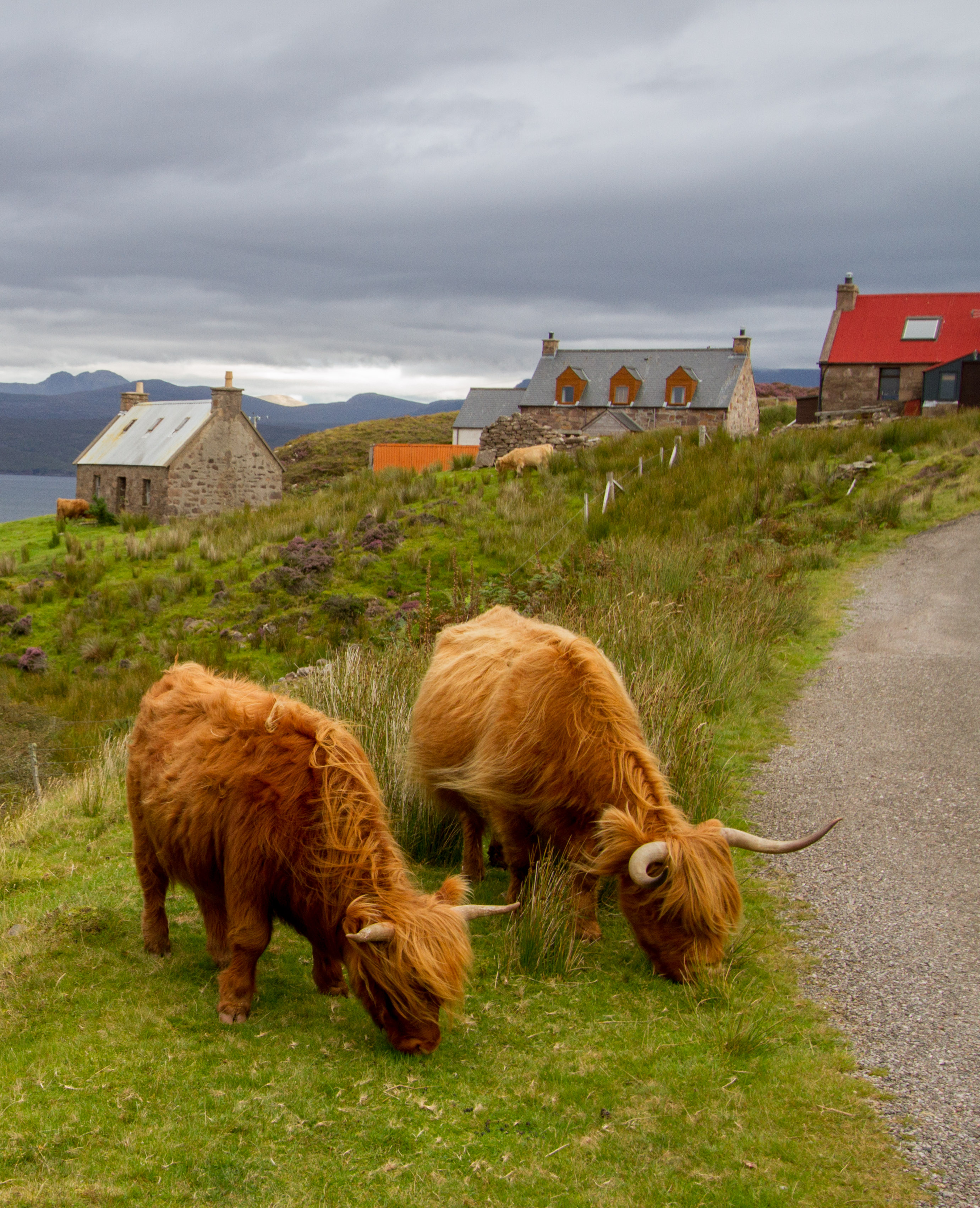
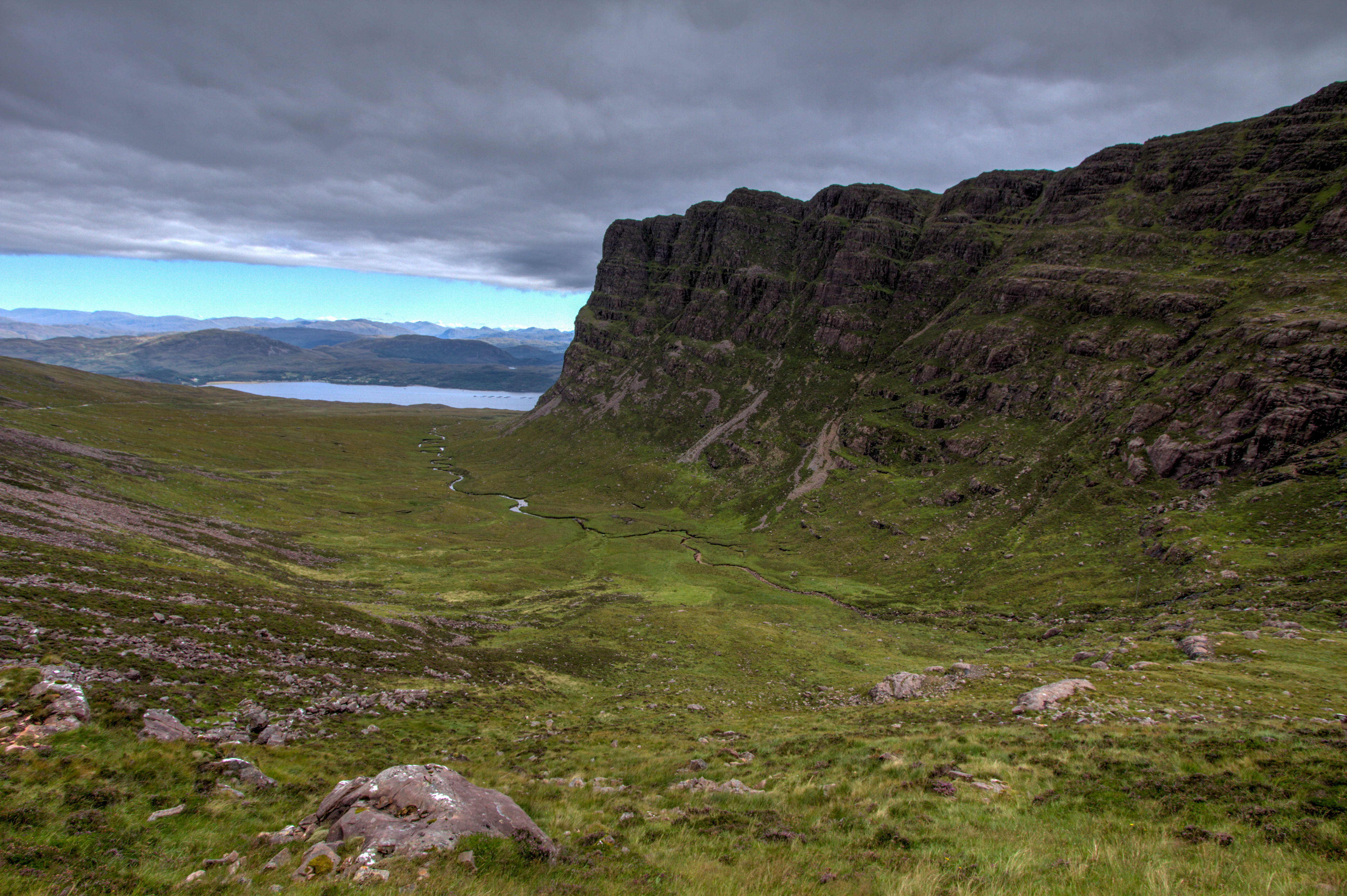
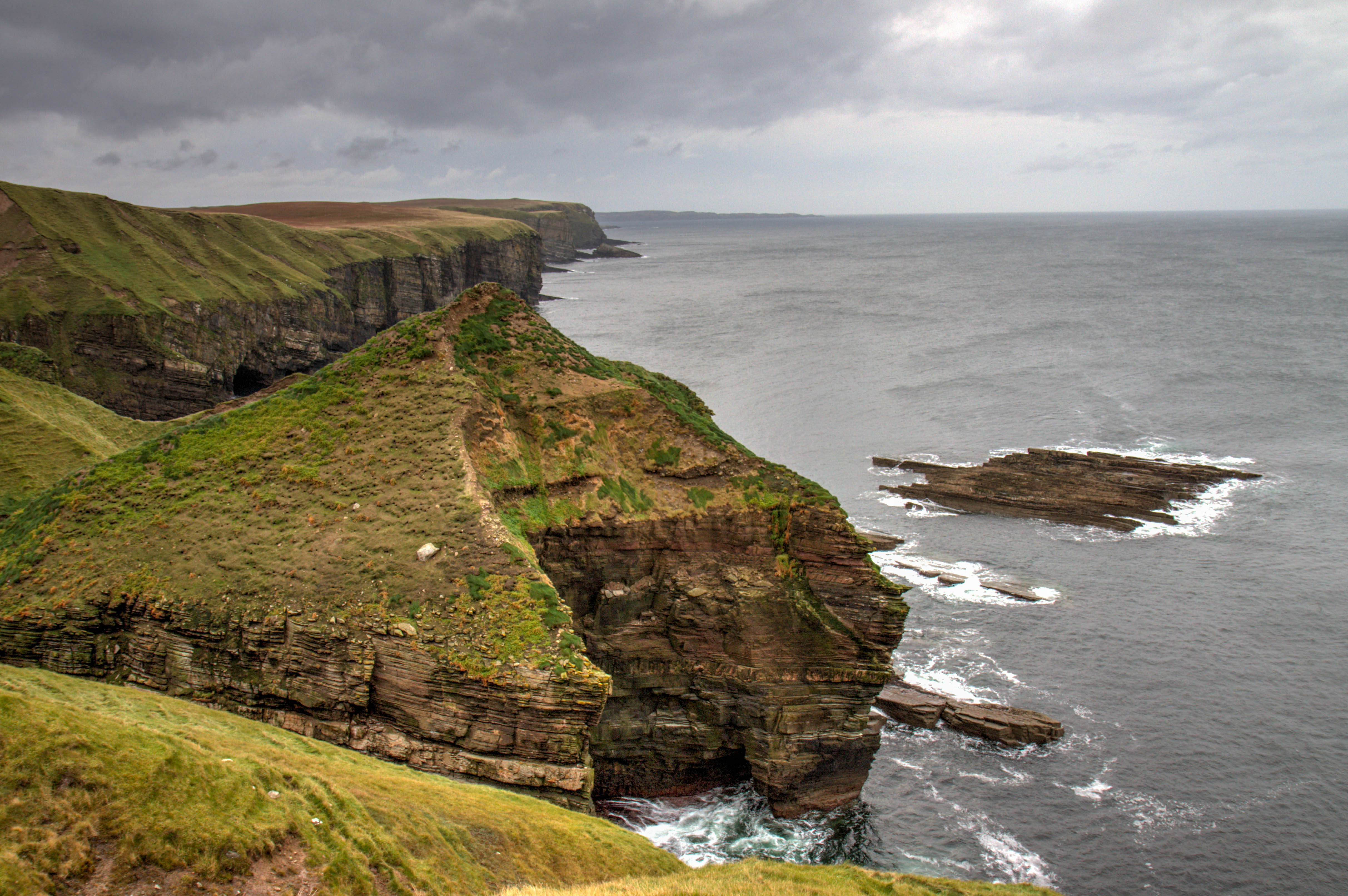
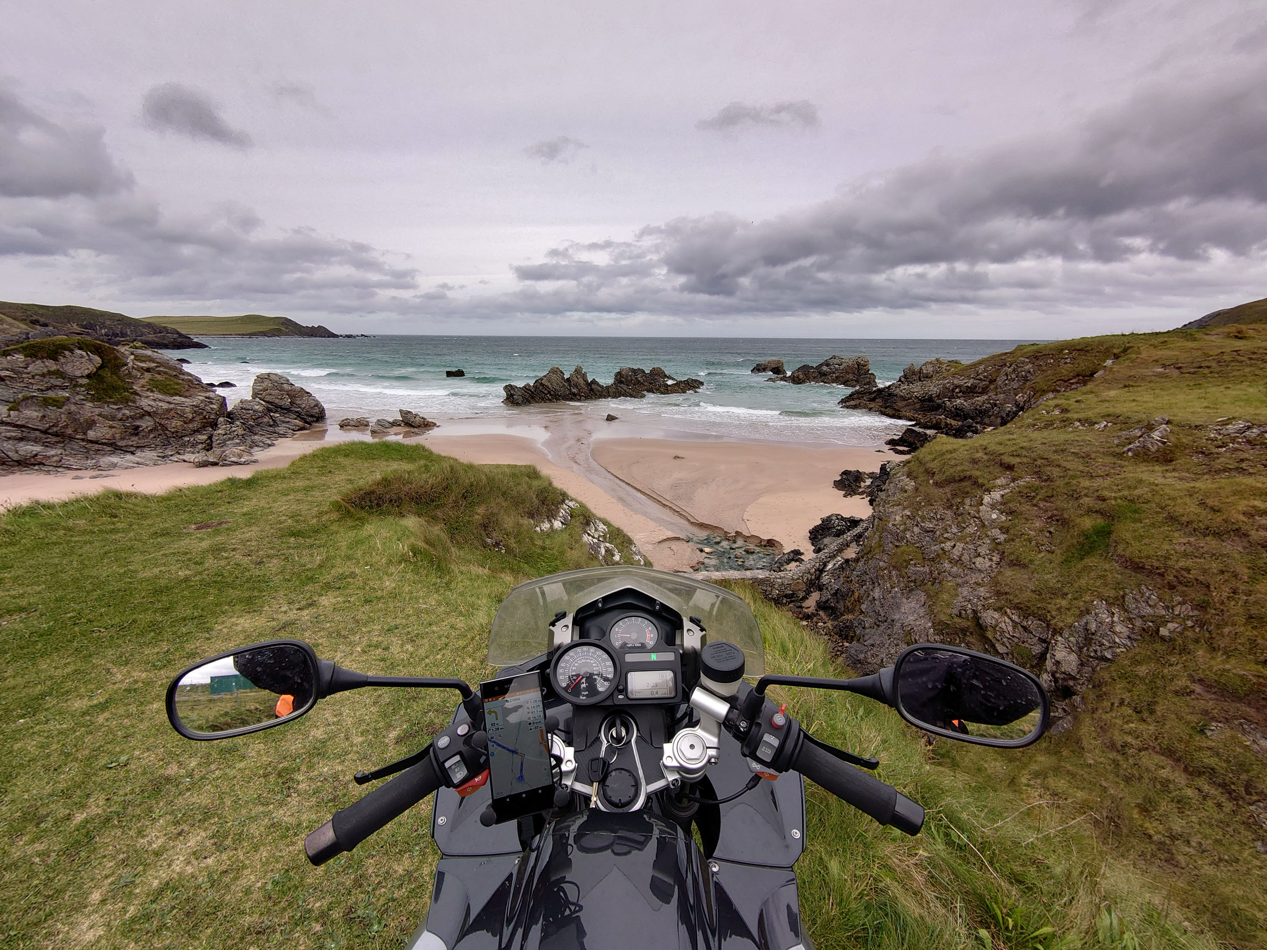
This Epic Ride takes place on Scotland’s self pro-claimed ‘Ultimate Road Trip’, the nc500. The North Coast is 500 miles long and follows the coast of some of the most remote and isolated places on the Scottish mainland.
For most people the nc500 will start in Inverness (the capital of the Highlands). There is also an option to start the route closer to Applecross if coming from the Isle of Skye. (highly recommended)
The Ride
As of 2019, mostly asphalt with alot of single lanes and narrow roads. It’s a tourist hot spot in the summer months. With a lot of Camper-vans overwhelming the roads
The route has been heavily advertised by Scottish Tourism and this has put a massive strain on the local resources of the small communities. So go slow, take your rubbish back to a city and using the Passing Lanes with care 🙂
The west side of the route is by far the most interesting and remote. The east side is a little underwhelming.
Magnet Trophy after riding the nc500
Highlights
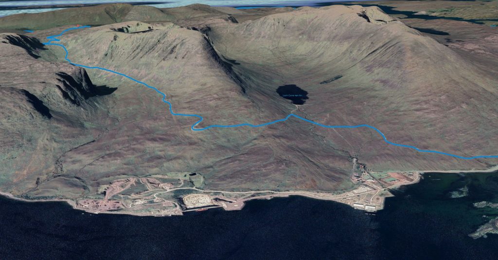
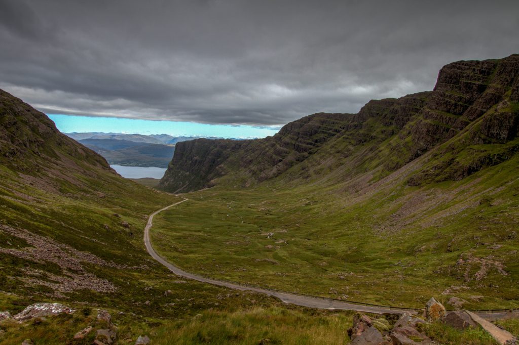
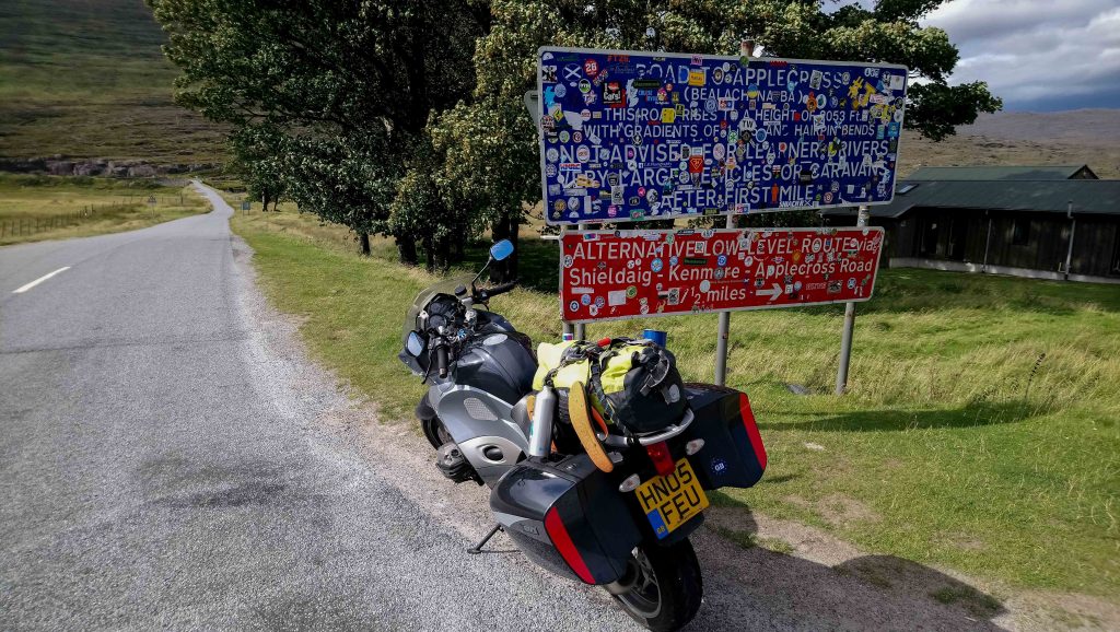
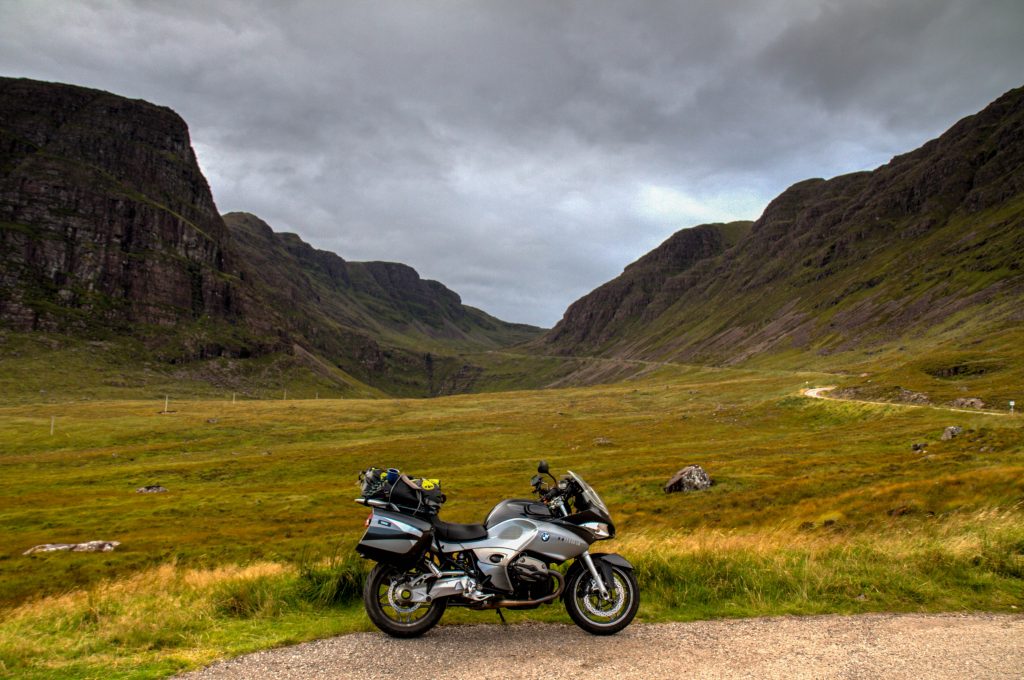
Applecross and the Bealach na Ba (Pass of the Cattle)
The Bealach na Ba to Applecross is a historic and one of the most famous passes in the UK. Bealach na Ba, meaning pass of the cattle, was used in earlier days to drive cattle from Applecross and surrounding settlements to other parts of the Highlands. Crossing the Bealach na Ba is a great ride if the weather is good. :0
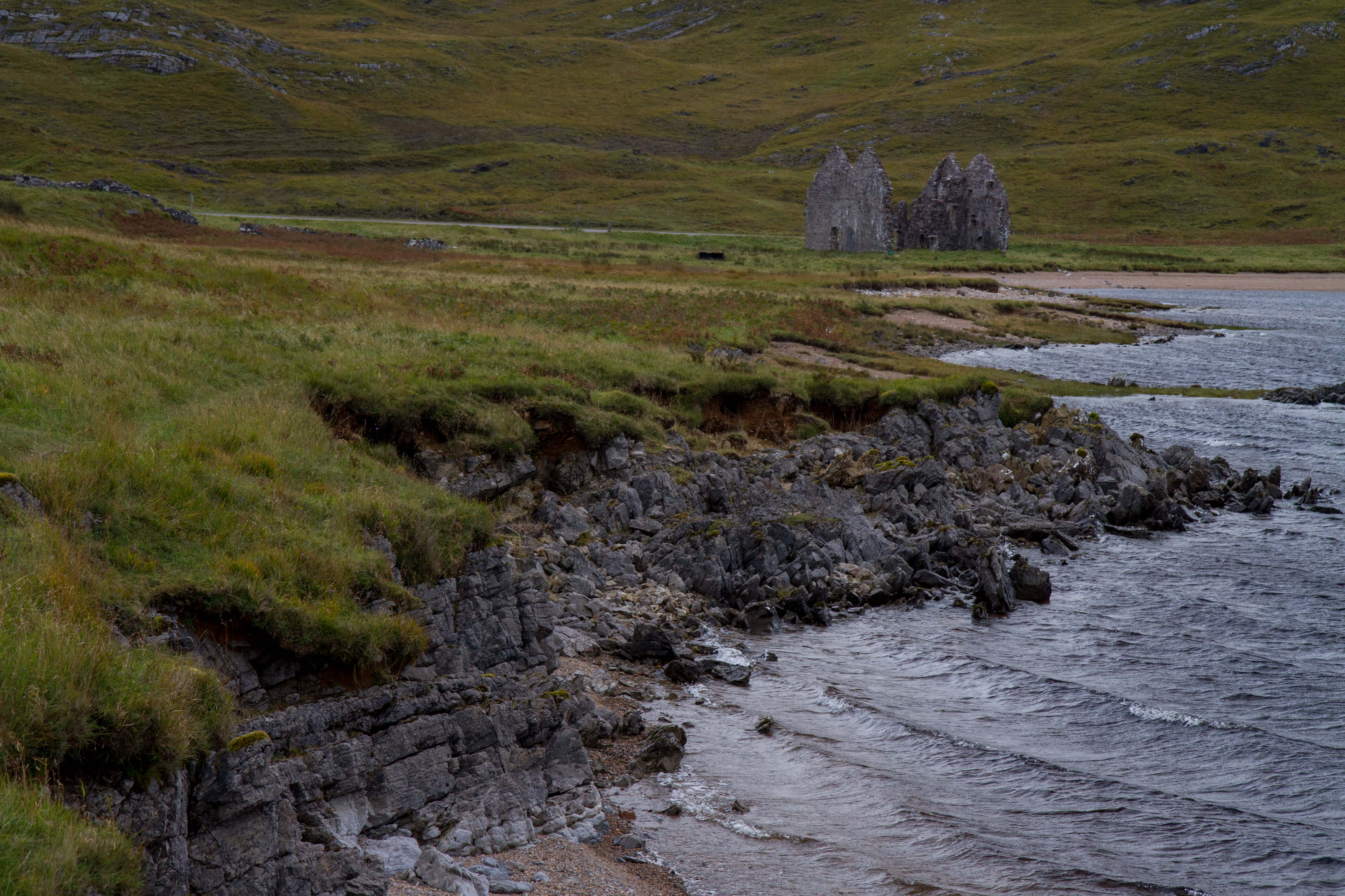
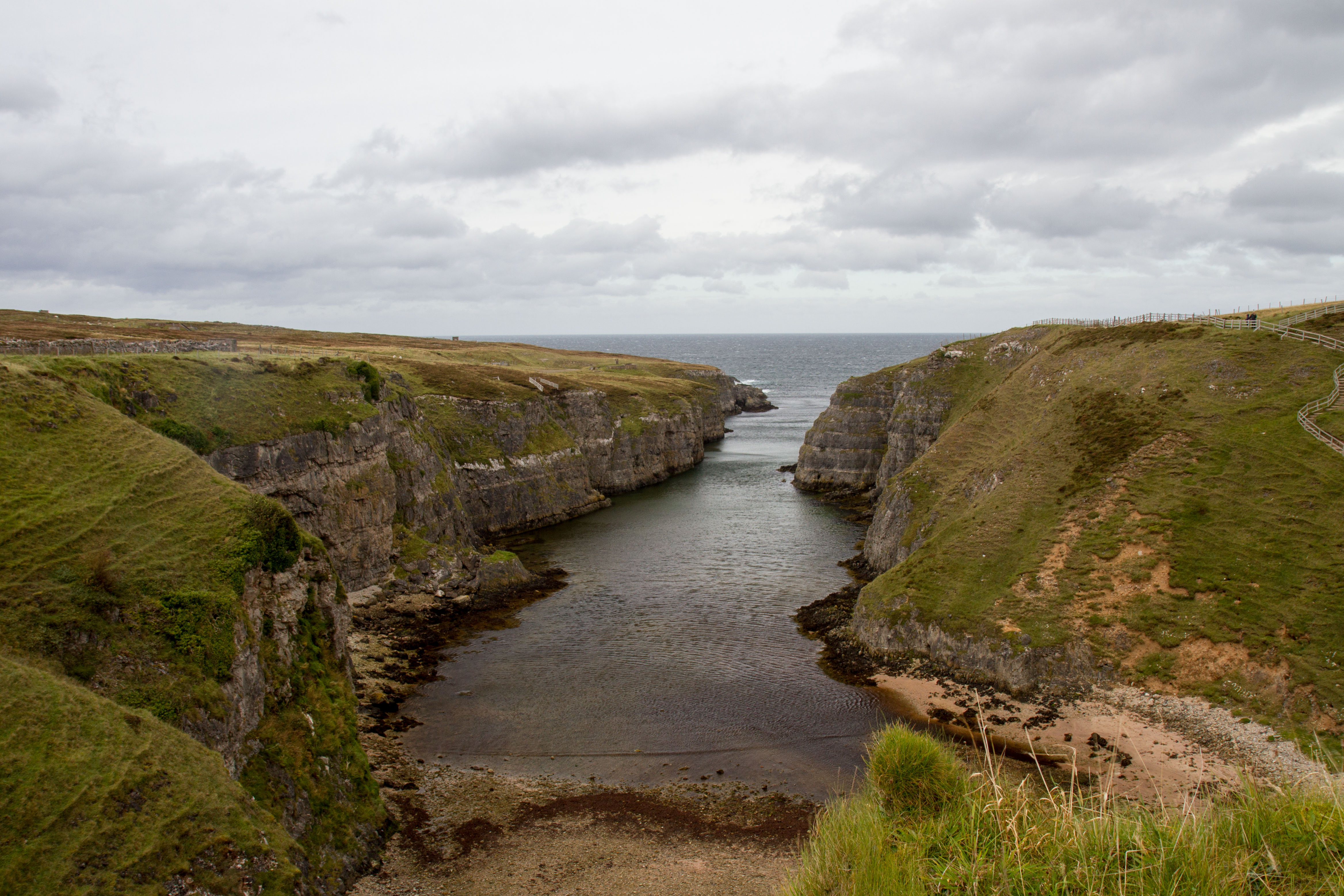
Smoo Cave is a large combined sea cave and freshwater cave in Durness in Sutherland, Highland, Scotland. The cave name is thought to originate from the Norse ‘smjugg’ or ‘smuga’, meaning a hole or hiding-place.
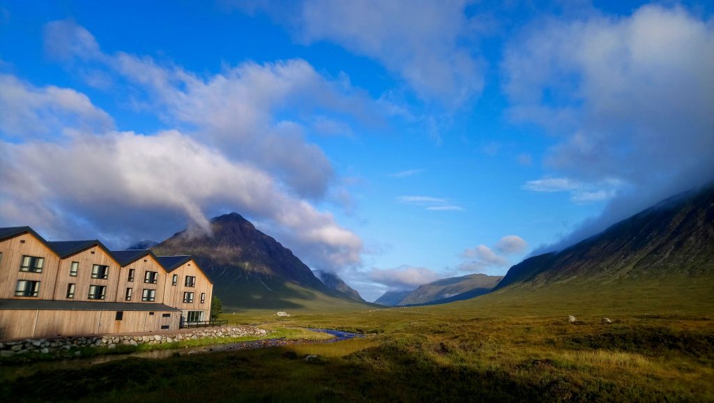
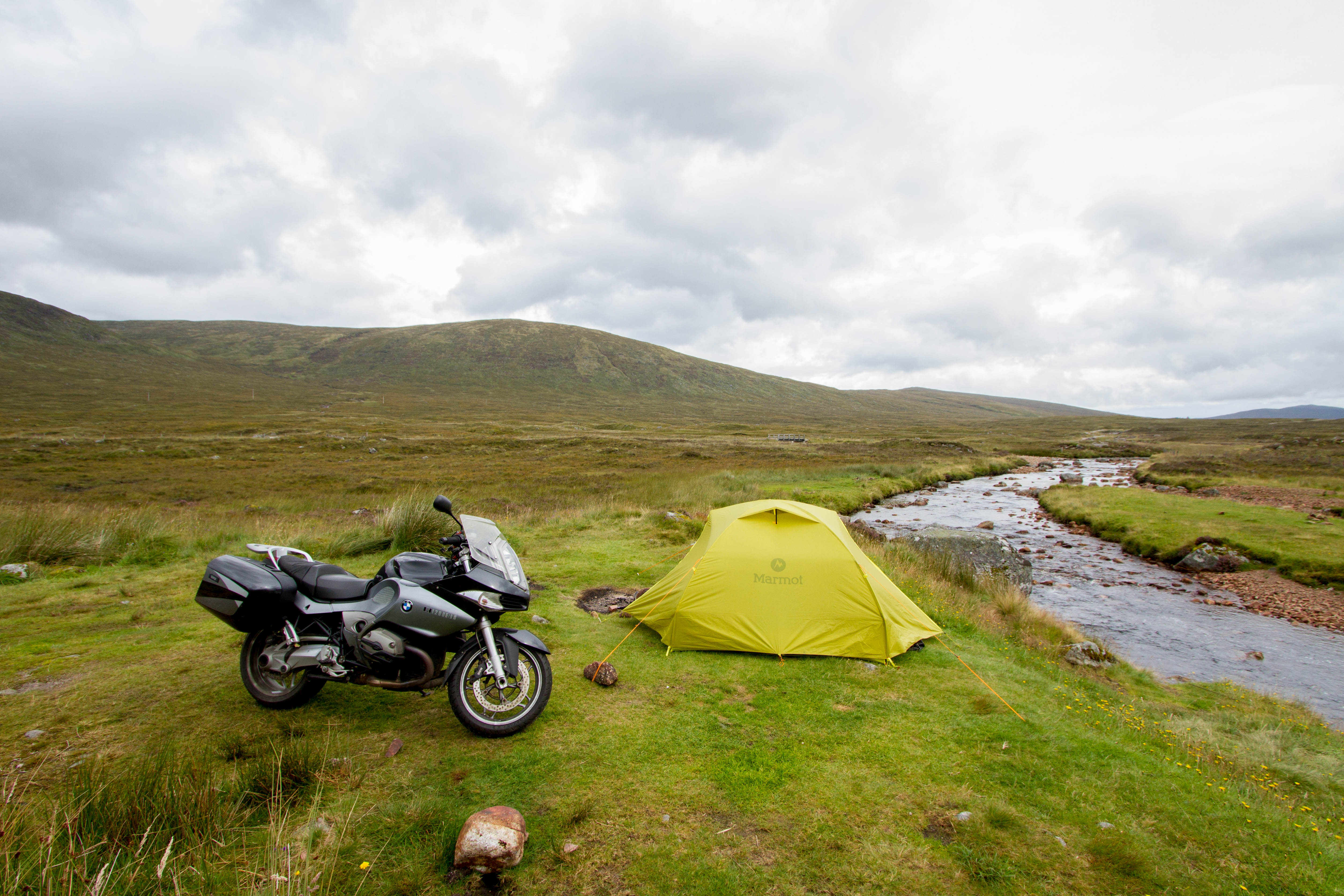
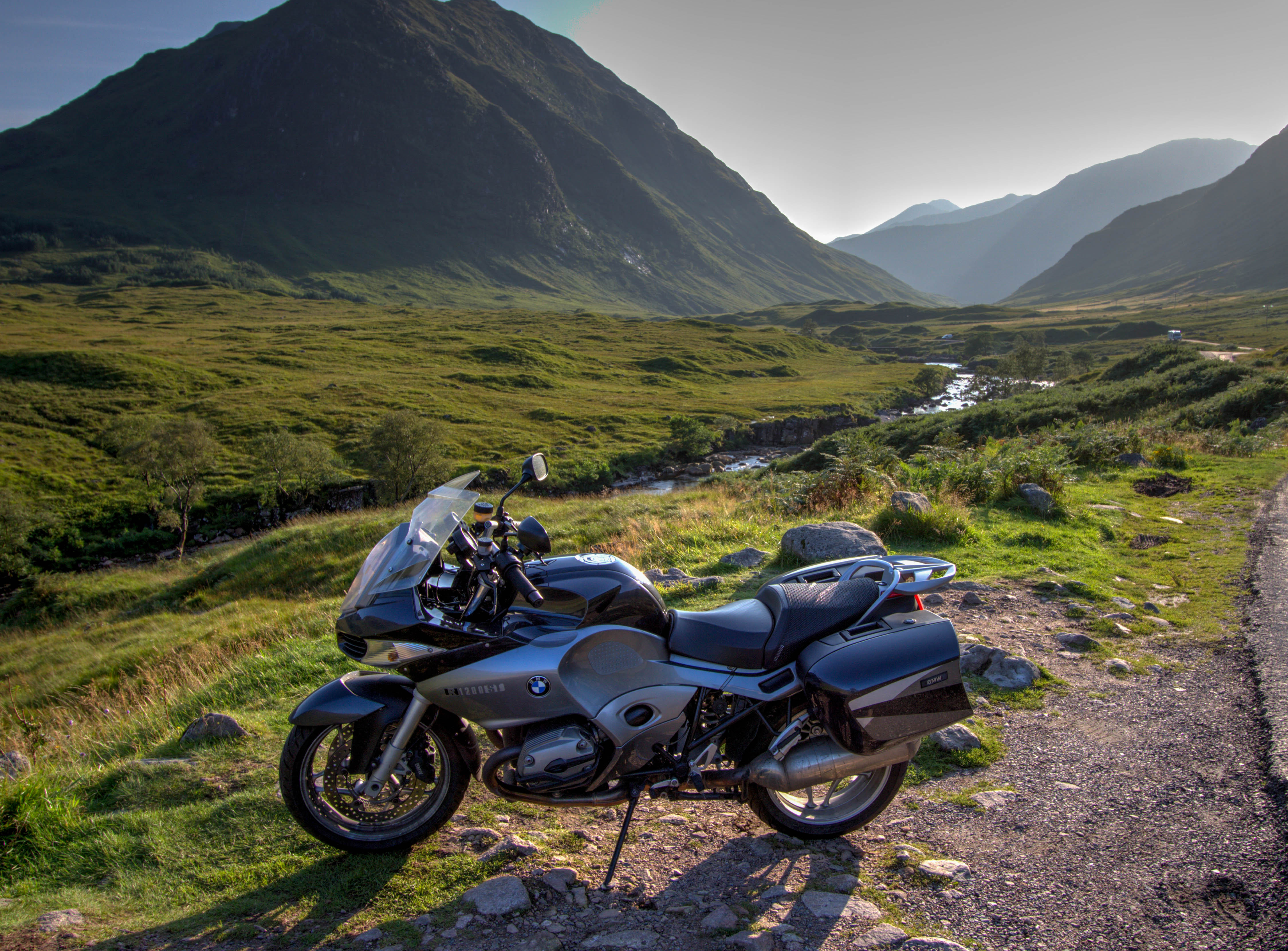
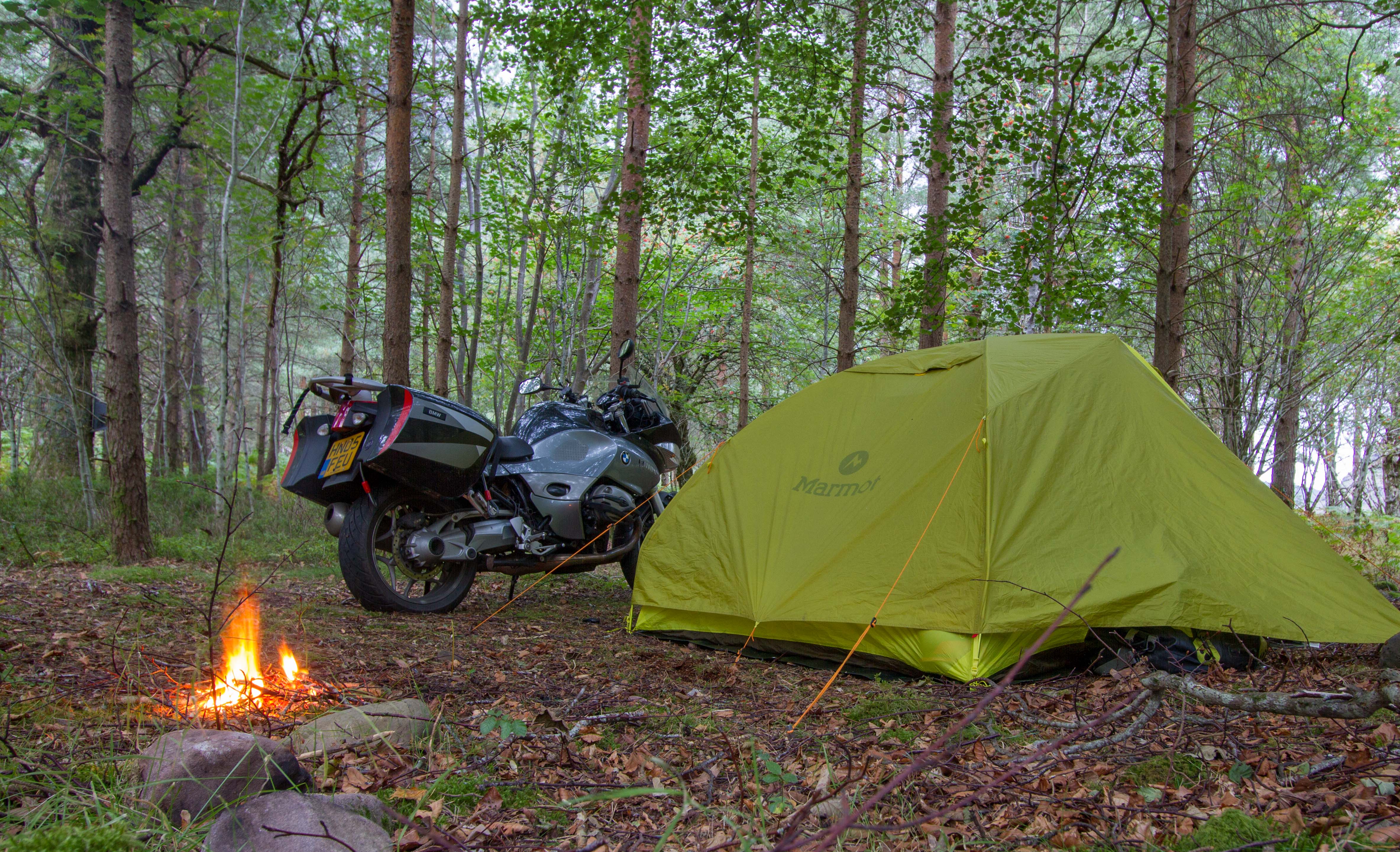
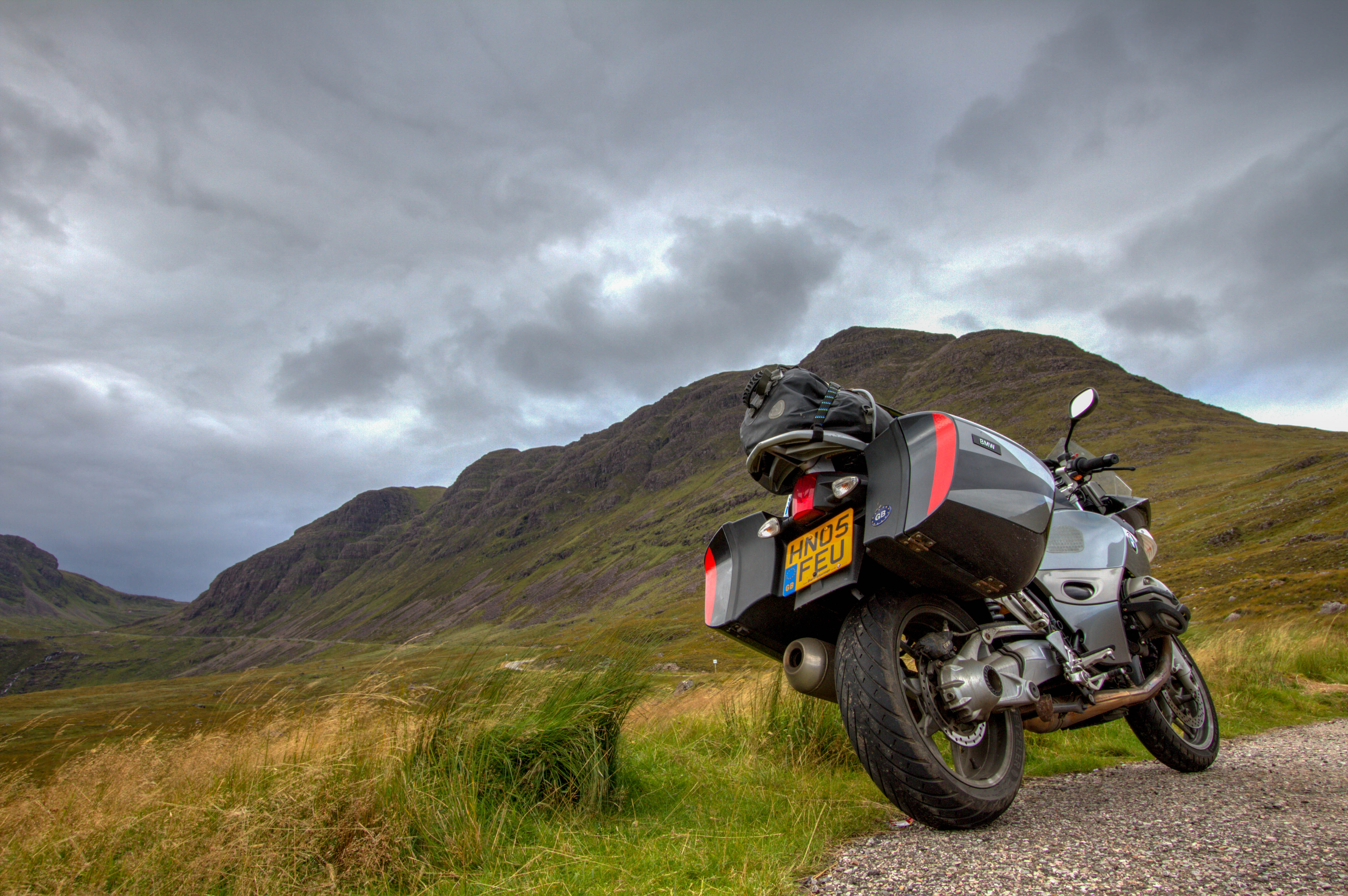
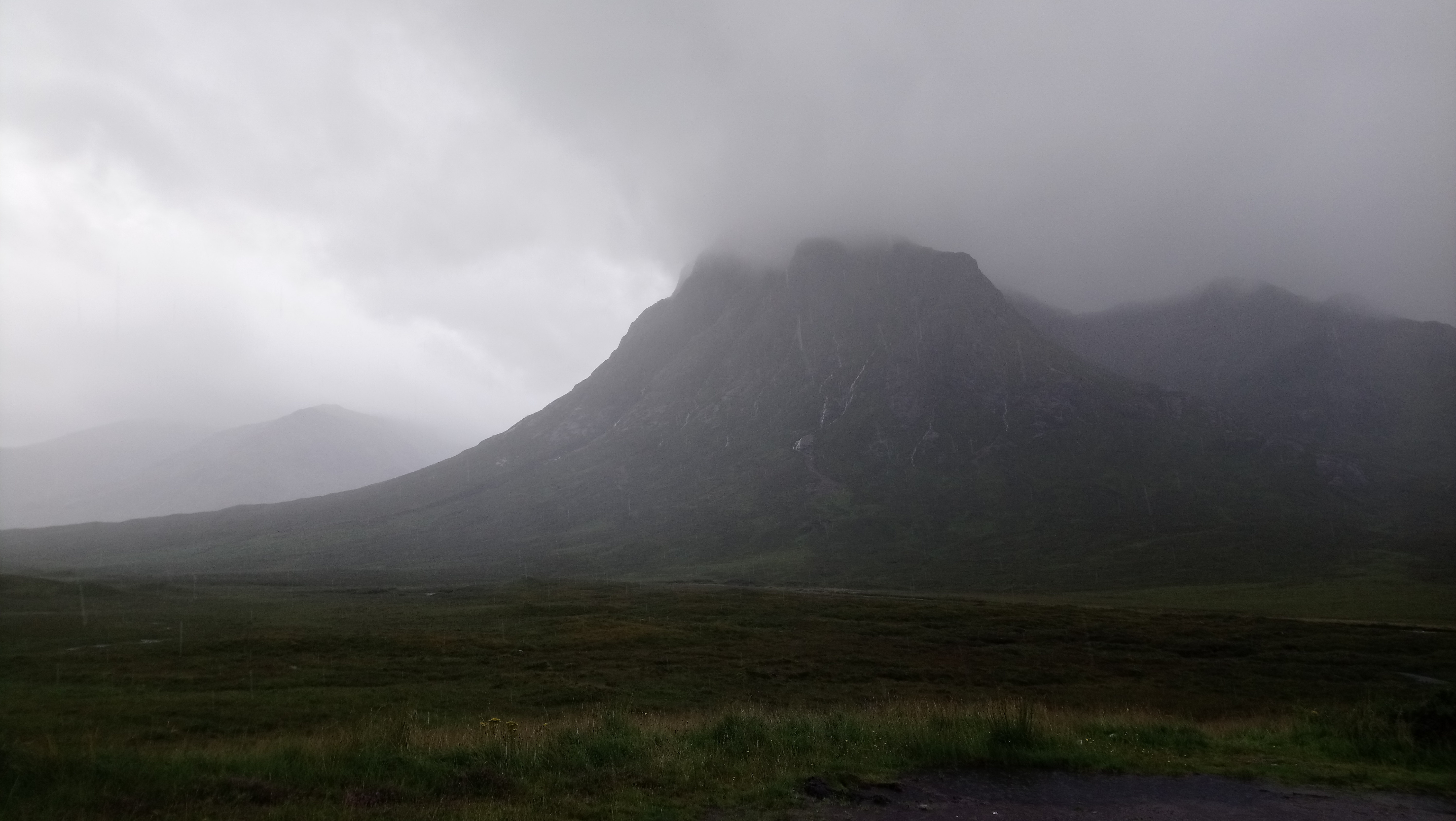
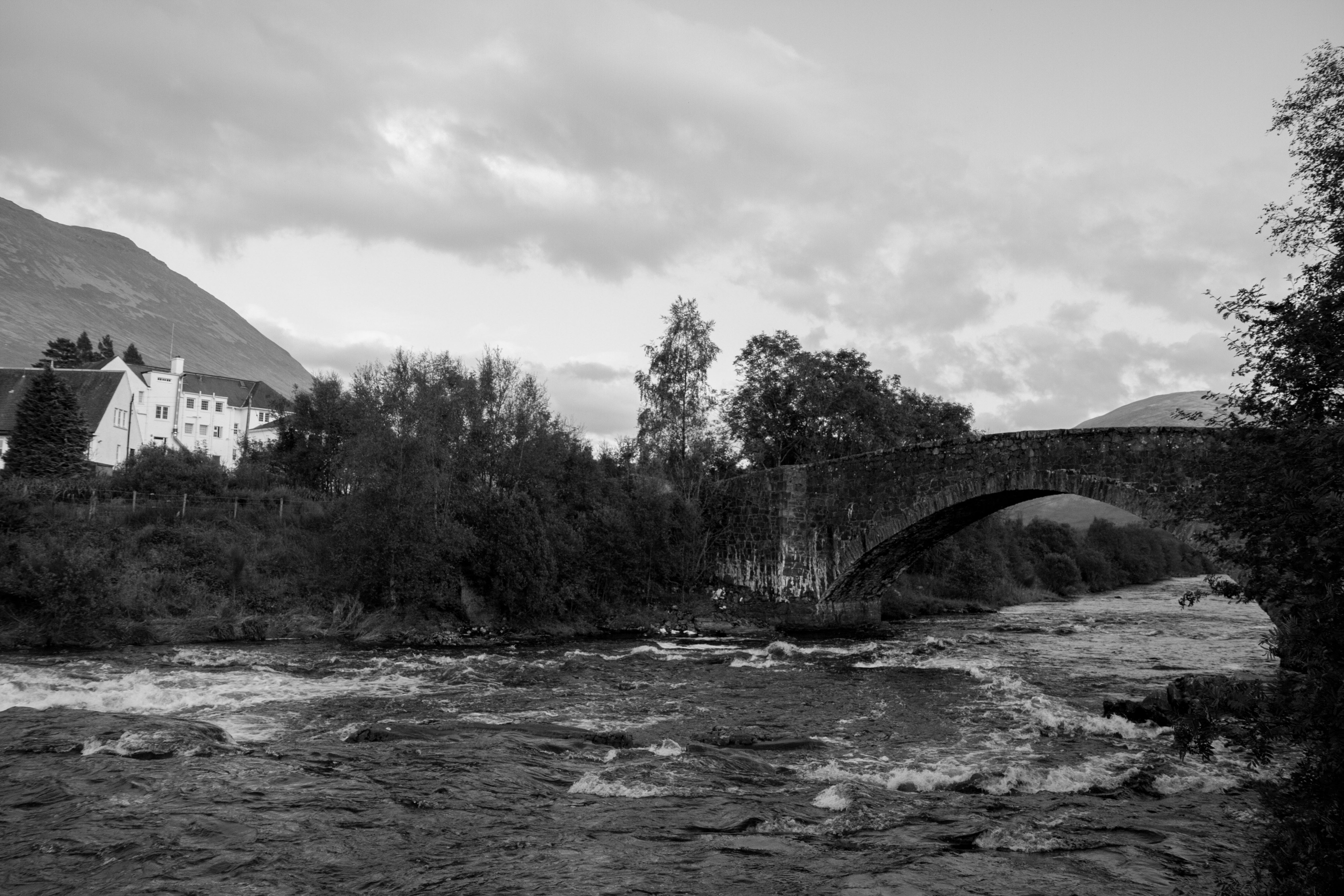
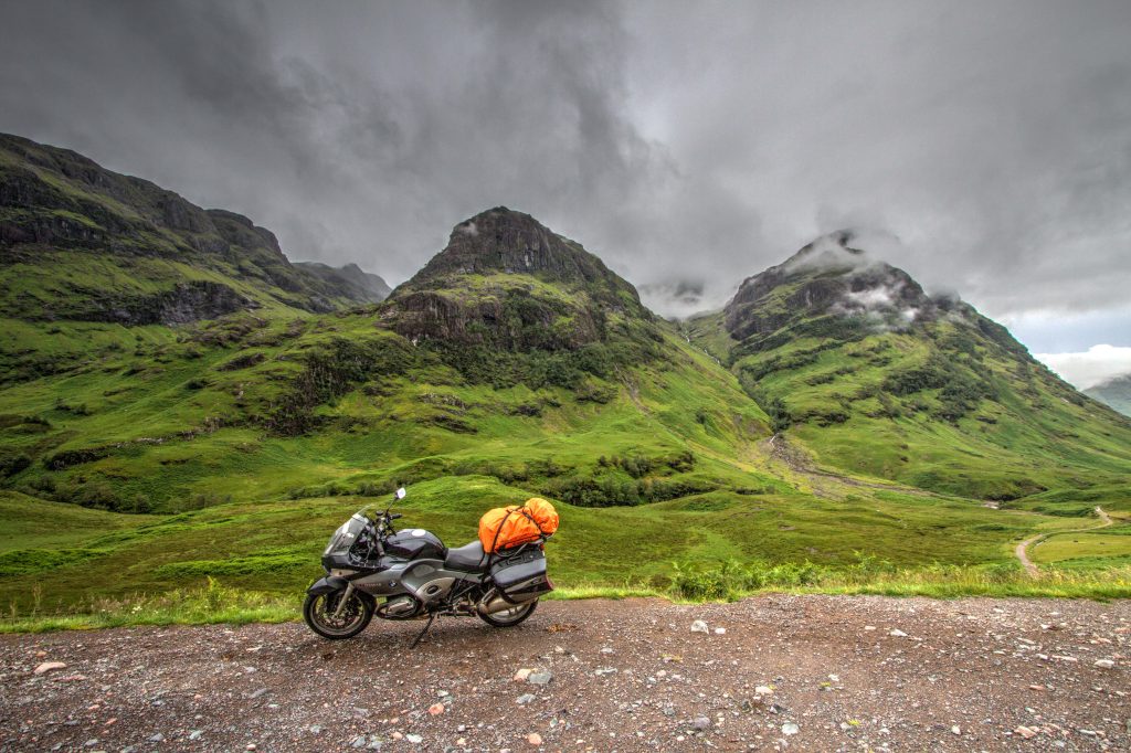
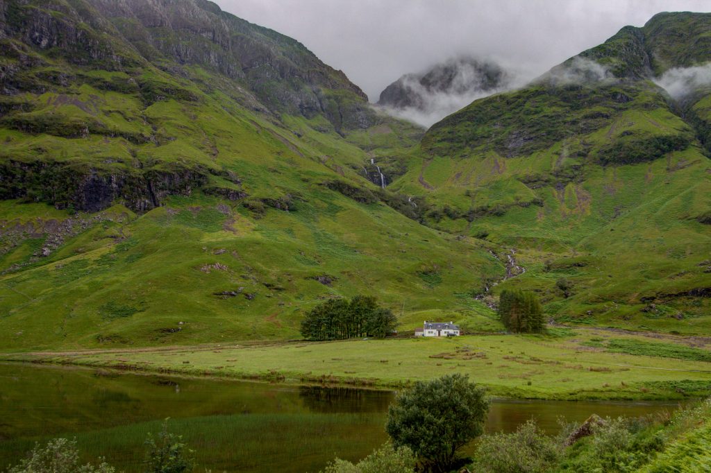
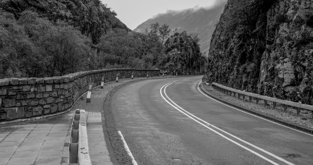
Glen Coe is the crown jewel of valleys in Scotland. It is famous for the James Bond Scene in Skyfall and therefore can be very busy in the summer. I’d recommend camping at Kinghouse Hotel. It is free and you can use the showers etc. It has a great pub for food and drinks.
For those looking for the Skyfall Scene location. It is actually in Glen Etive. The road is a dead end and is equally amazing as the road through Glen Coe. The exact spot is here
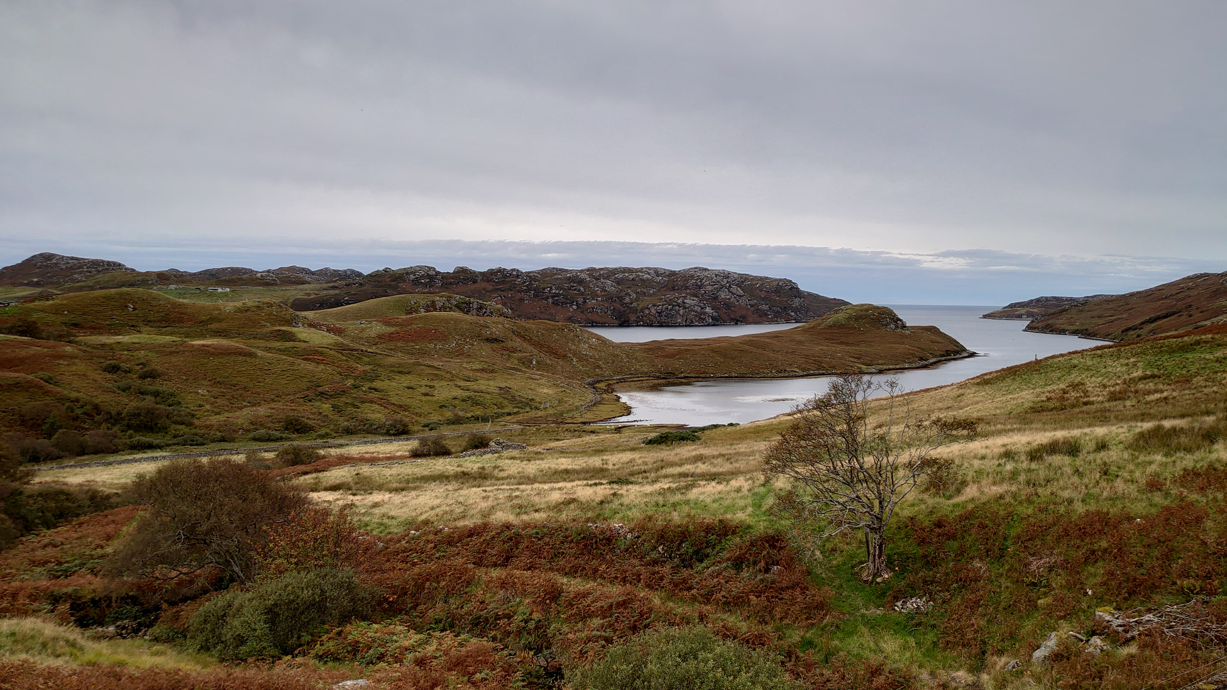
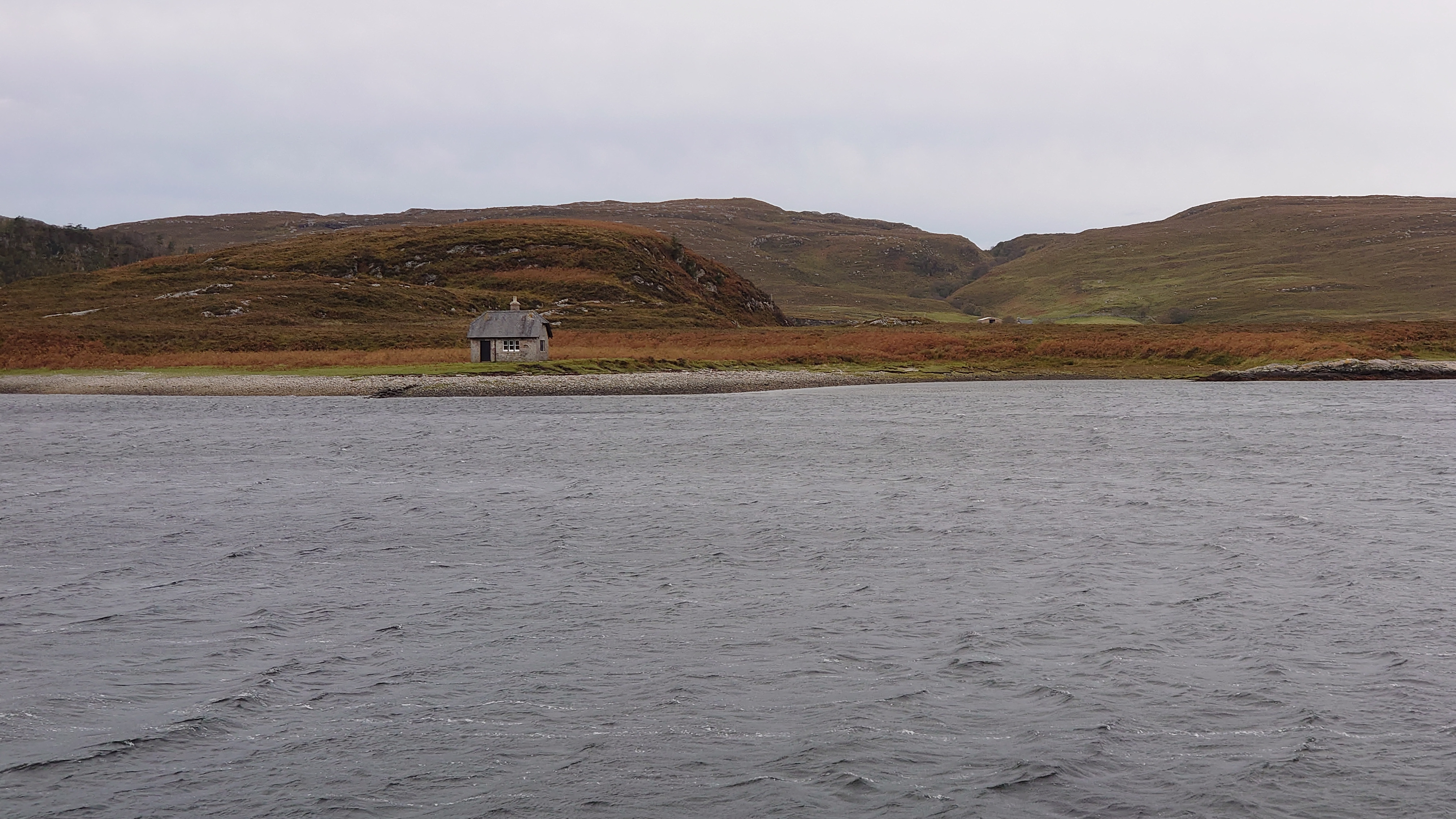
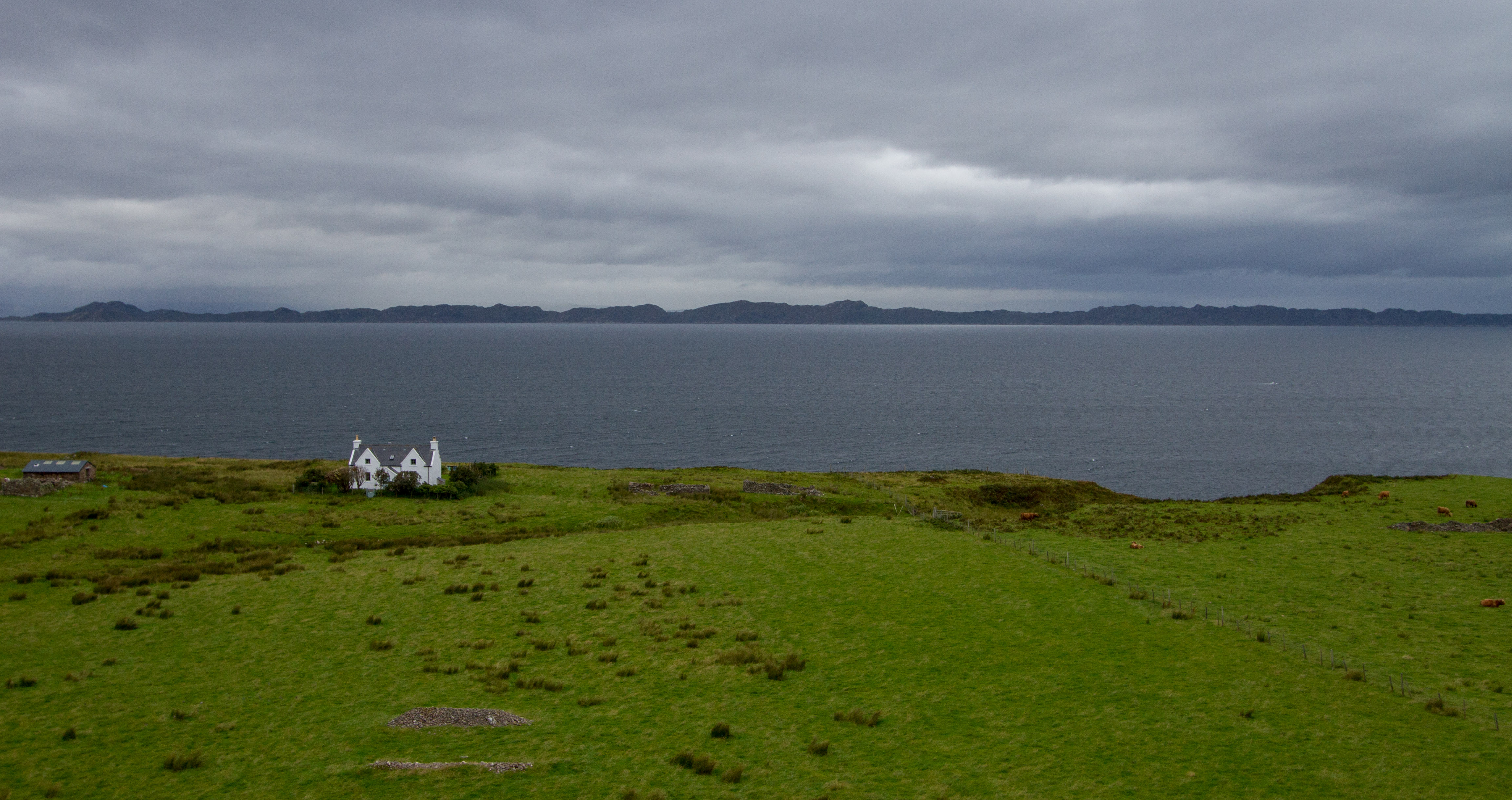
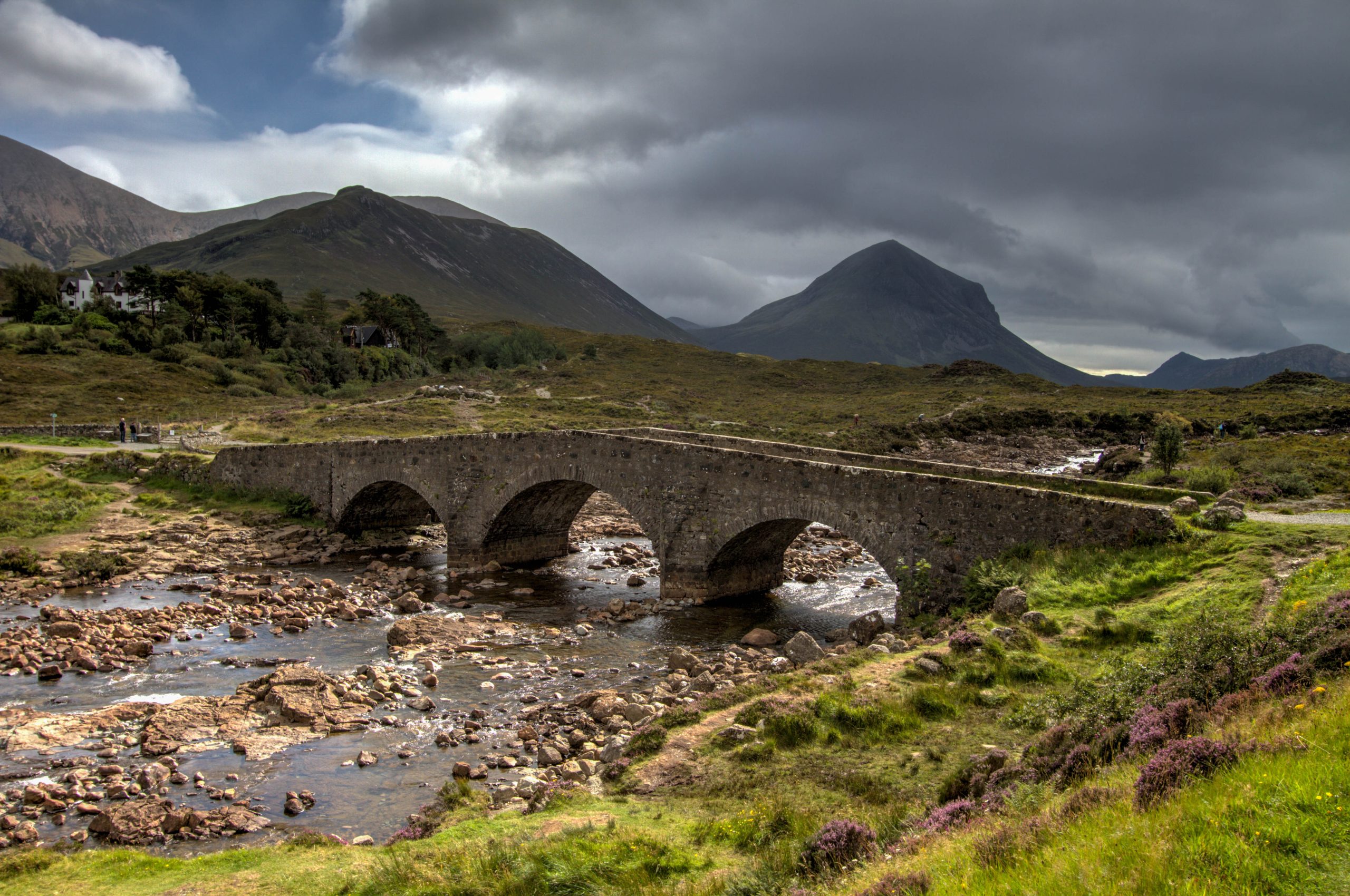
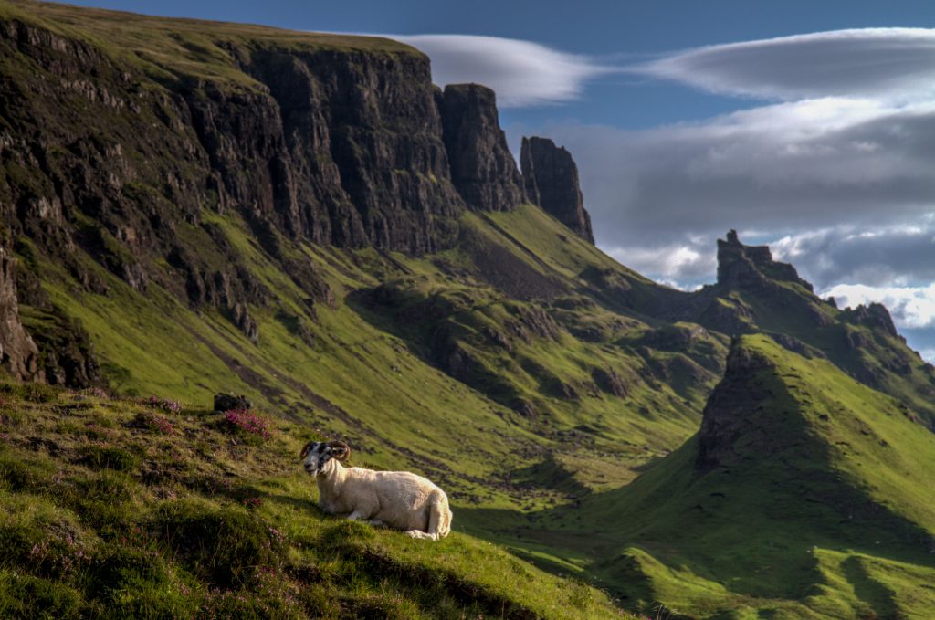
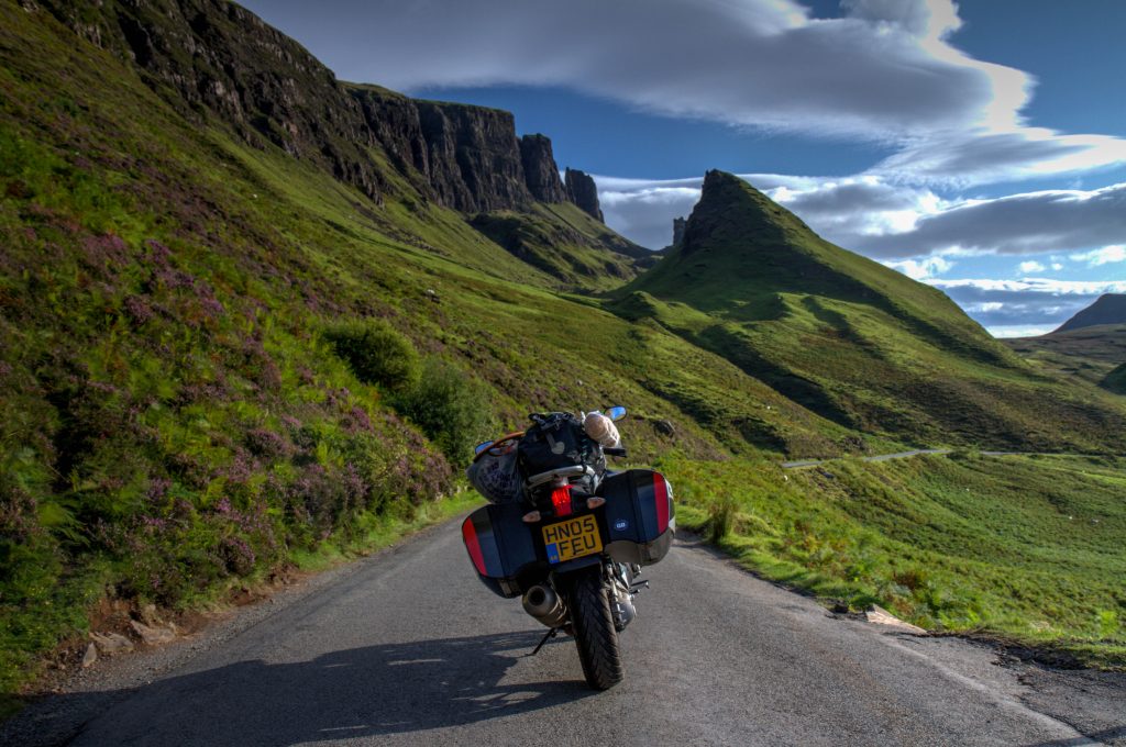
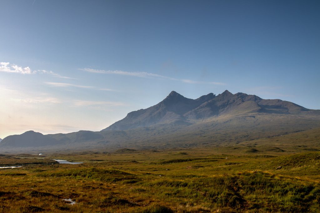
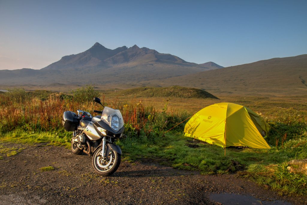
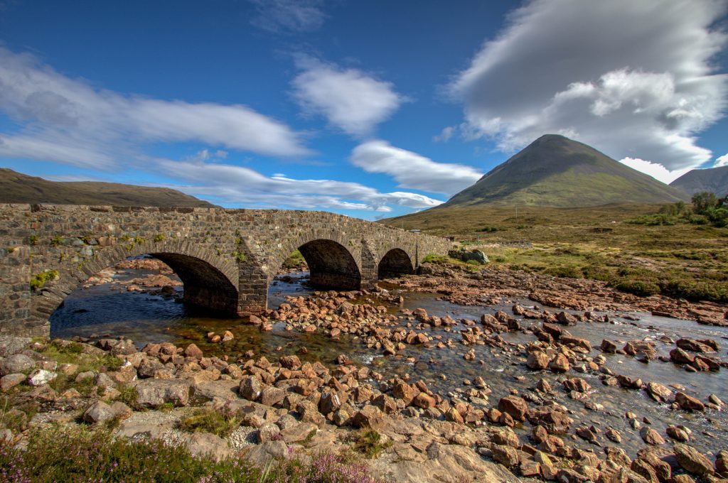
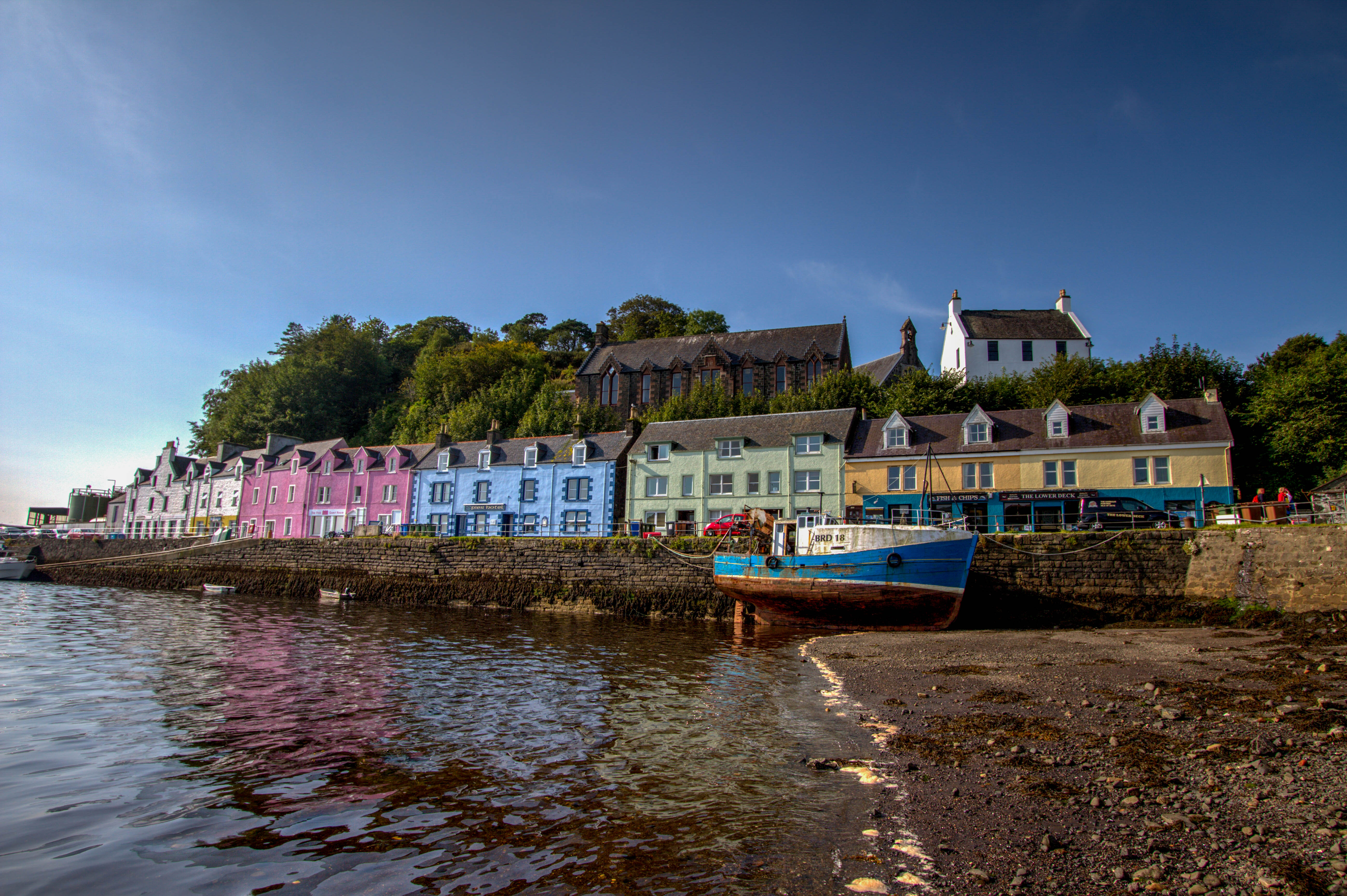
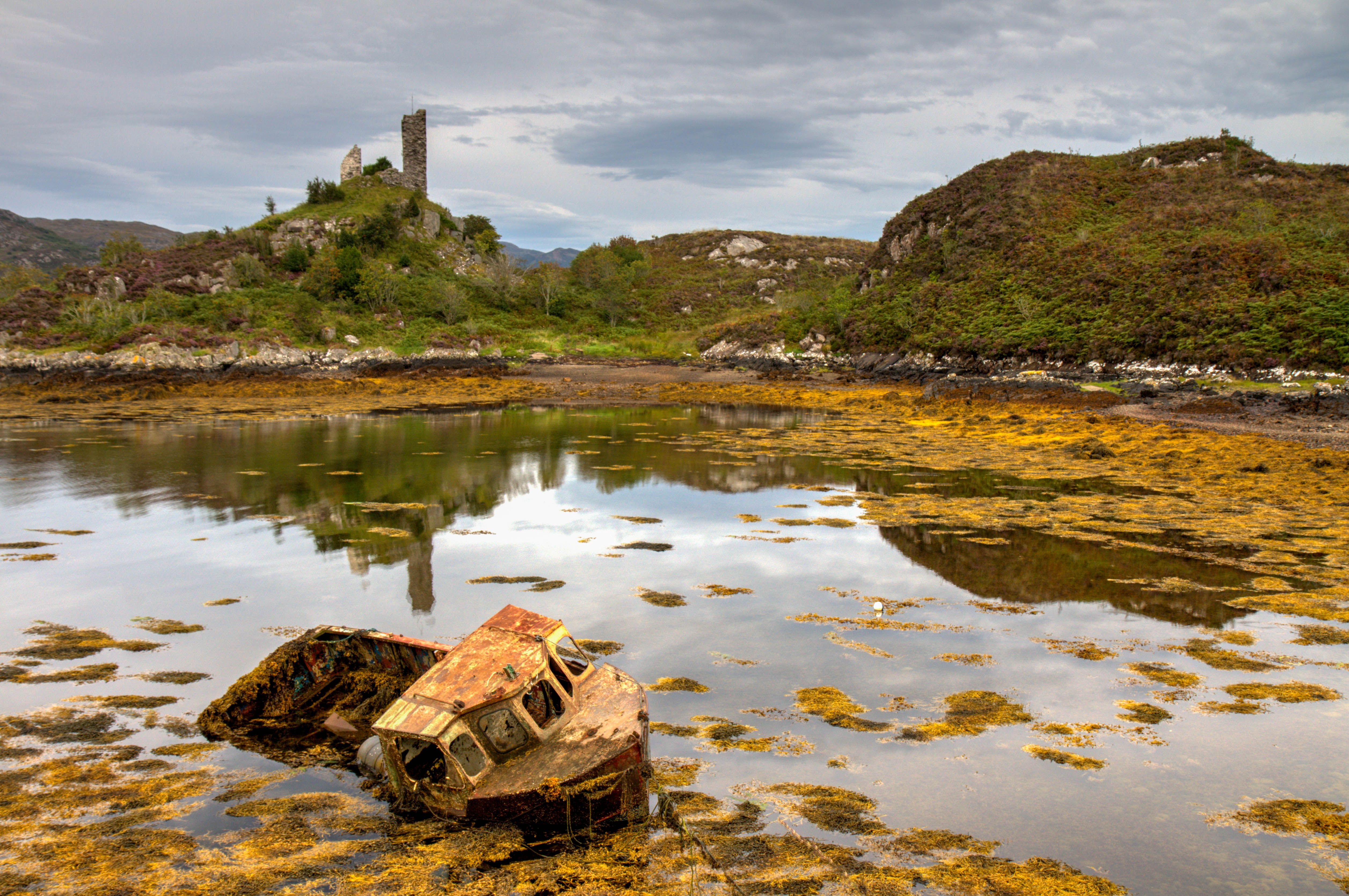
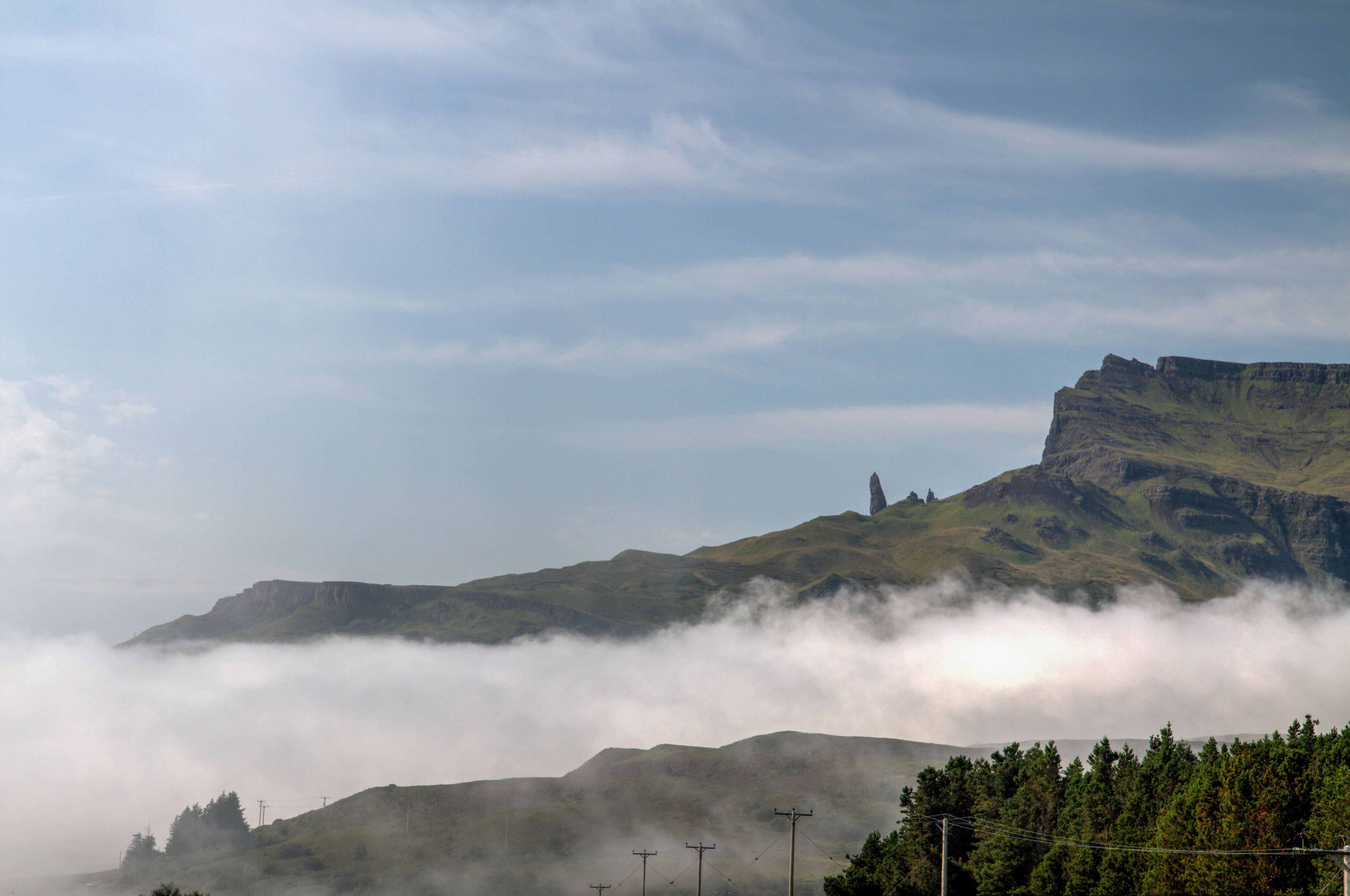
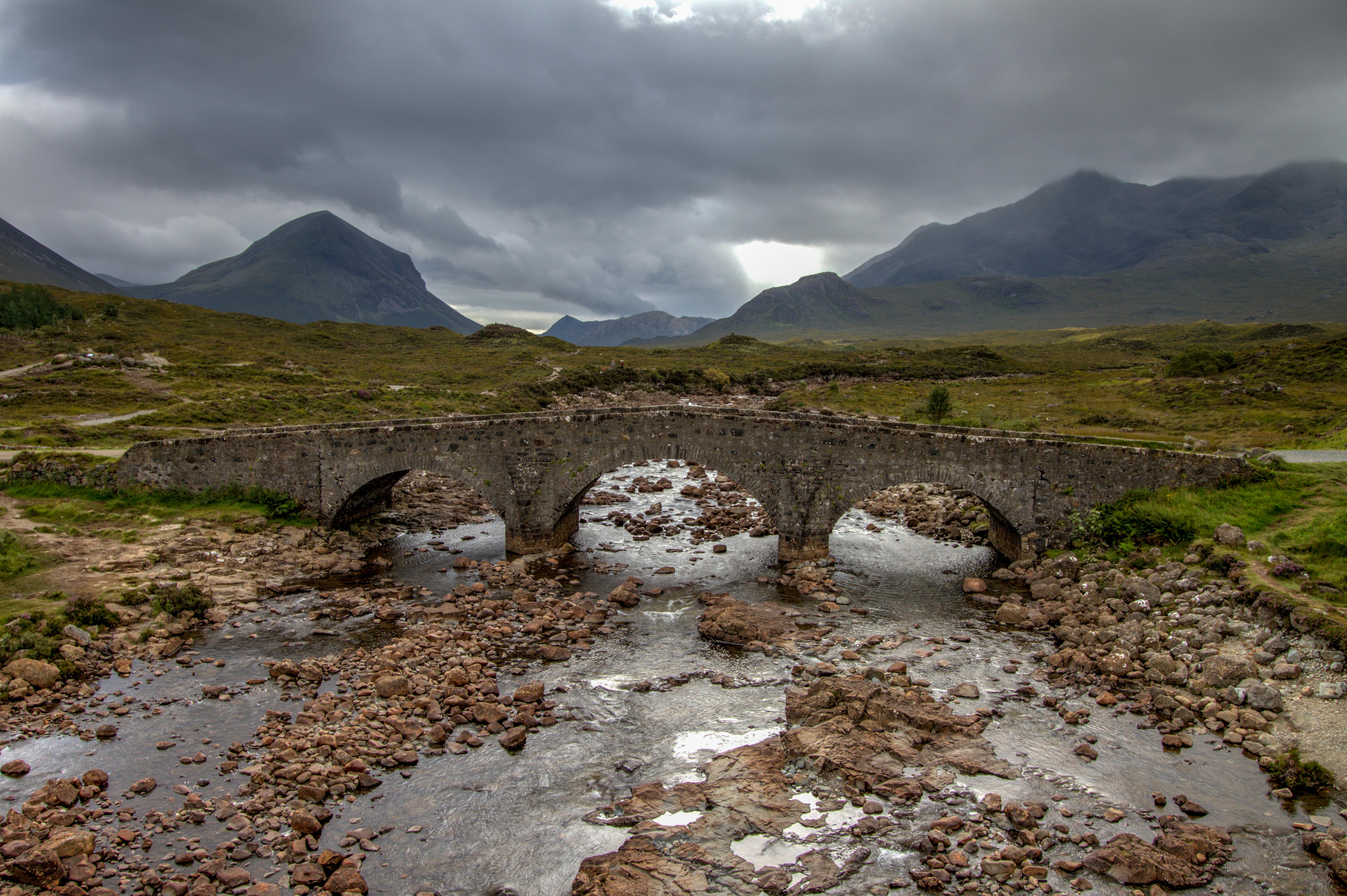
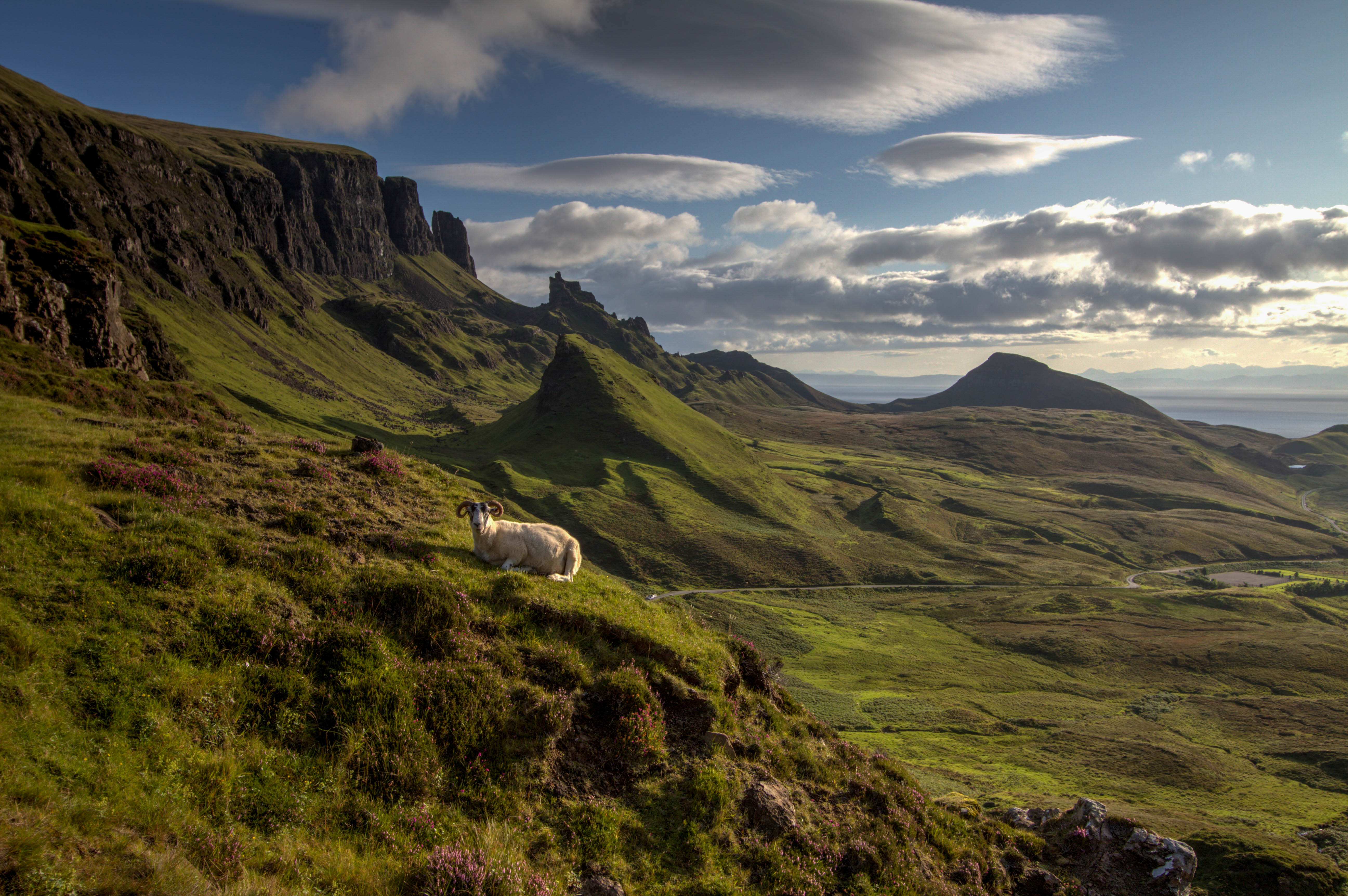
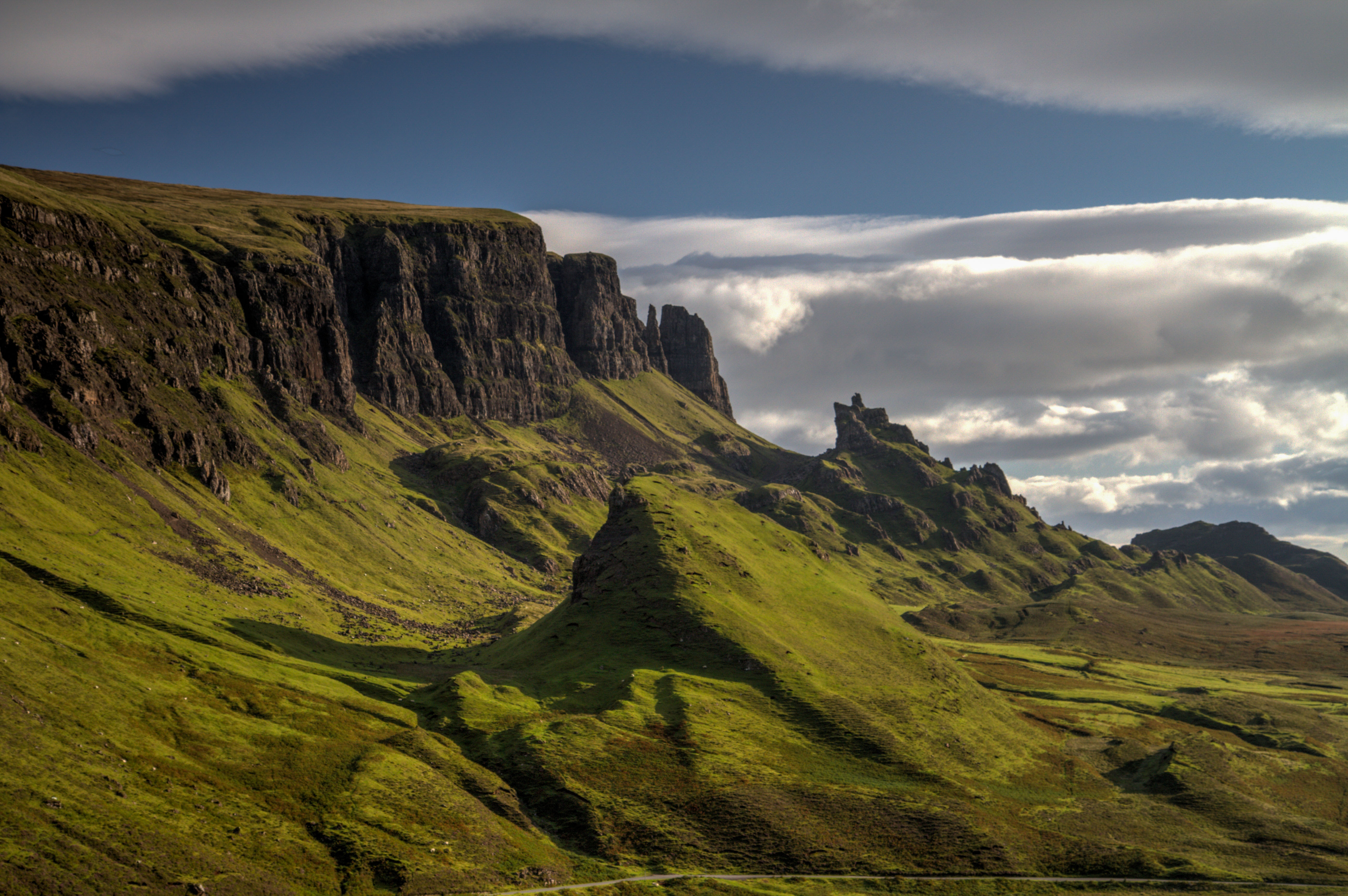
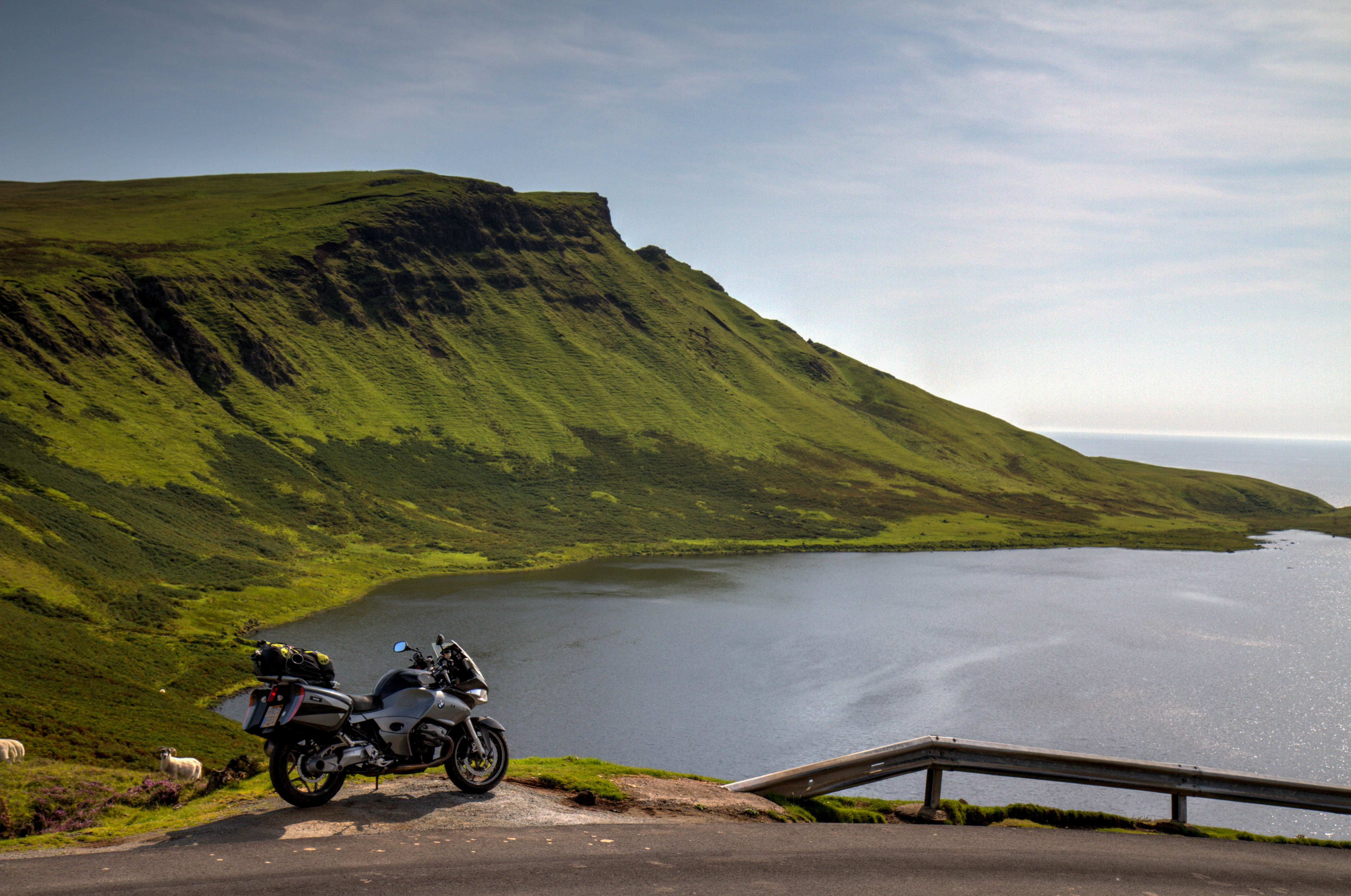
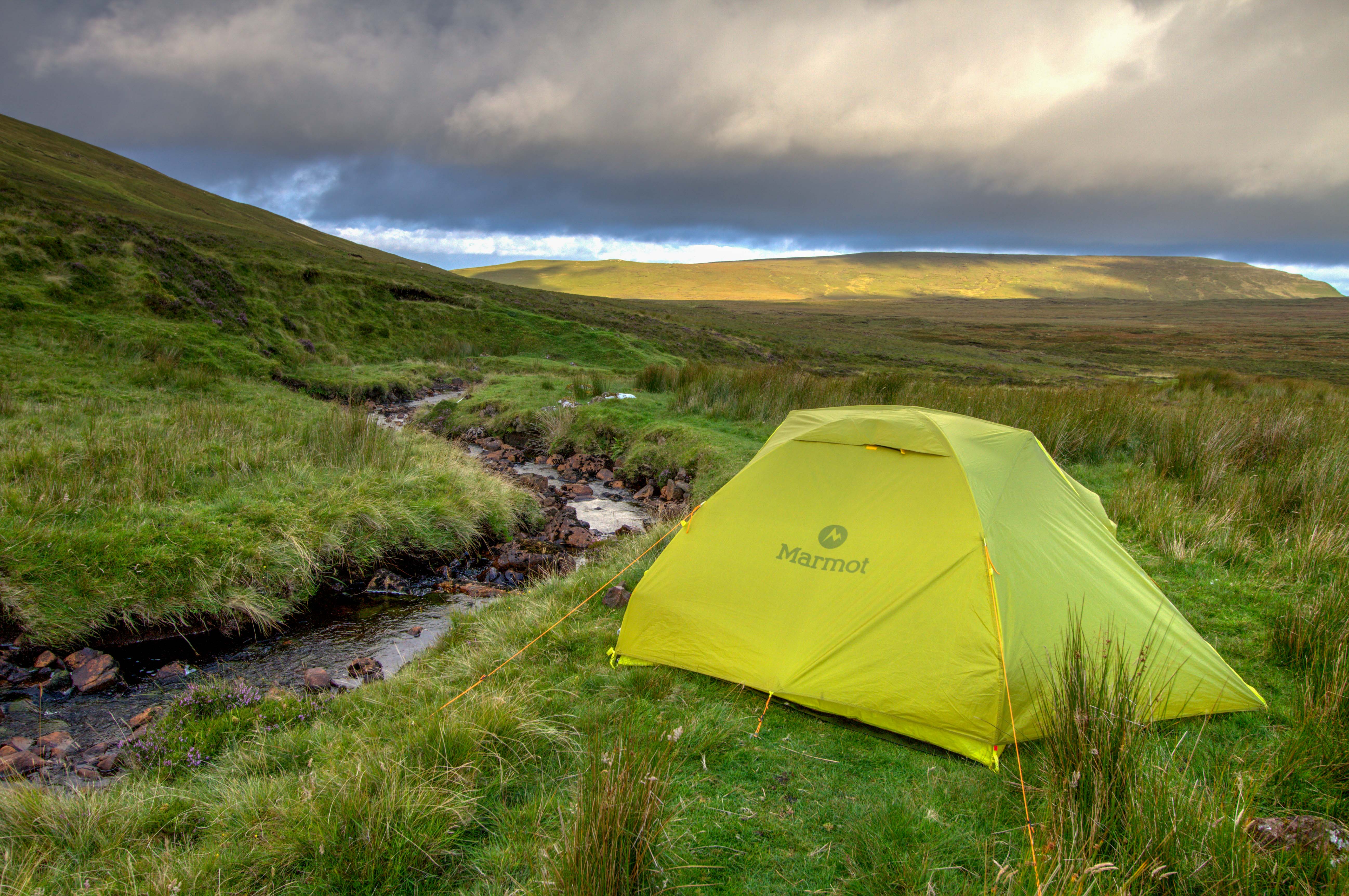
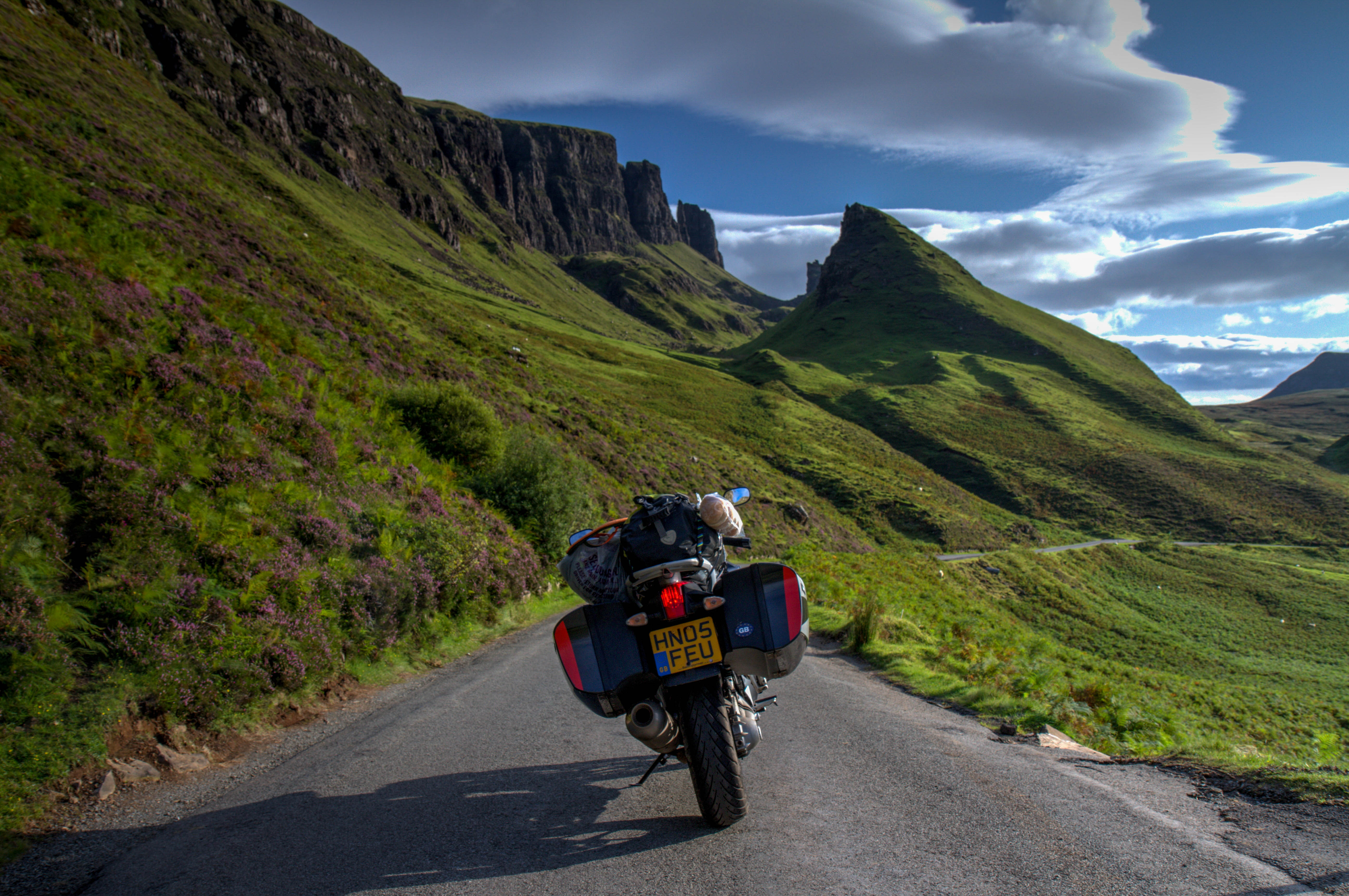
This Epic Ride takes place on one of the most magical island in the world. Isle of Skye. It is the largest island in the Inner Hebrides, a group of 35 inhabited islands as well as 44 uninhabited islands.
Since 1995 a bridge from the mainland allows an easier journey to the Isle (Some would say it has also changed the dynamic island way of life)
The Isle of Skype is the largest of the Inner Hebrides, an archipelago of the West Coast. 5 hrs drive from either Glasgow or Edinburgh and 2.5 hrs from Inverness.
The Ride
As of 2019, mostly asphalt with alot of single lanes and narrow roads. It’s a tourist hot spot in the summer months. With a lot of Camper-vans slowly circling the island.
Summer | Crazy traffic, best weather, alot of midges
Autumn | Less traffic, less midges. Amazing scenery with the Autumn colours
Highlights
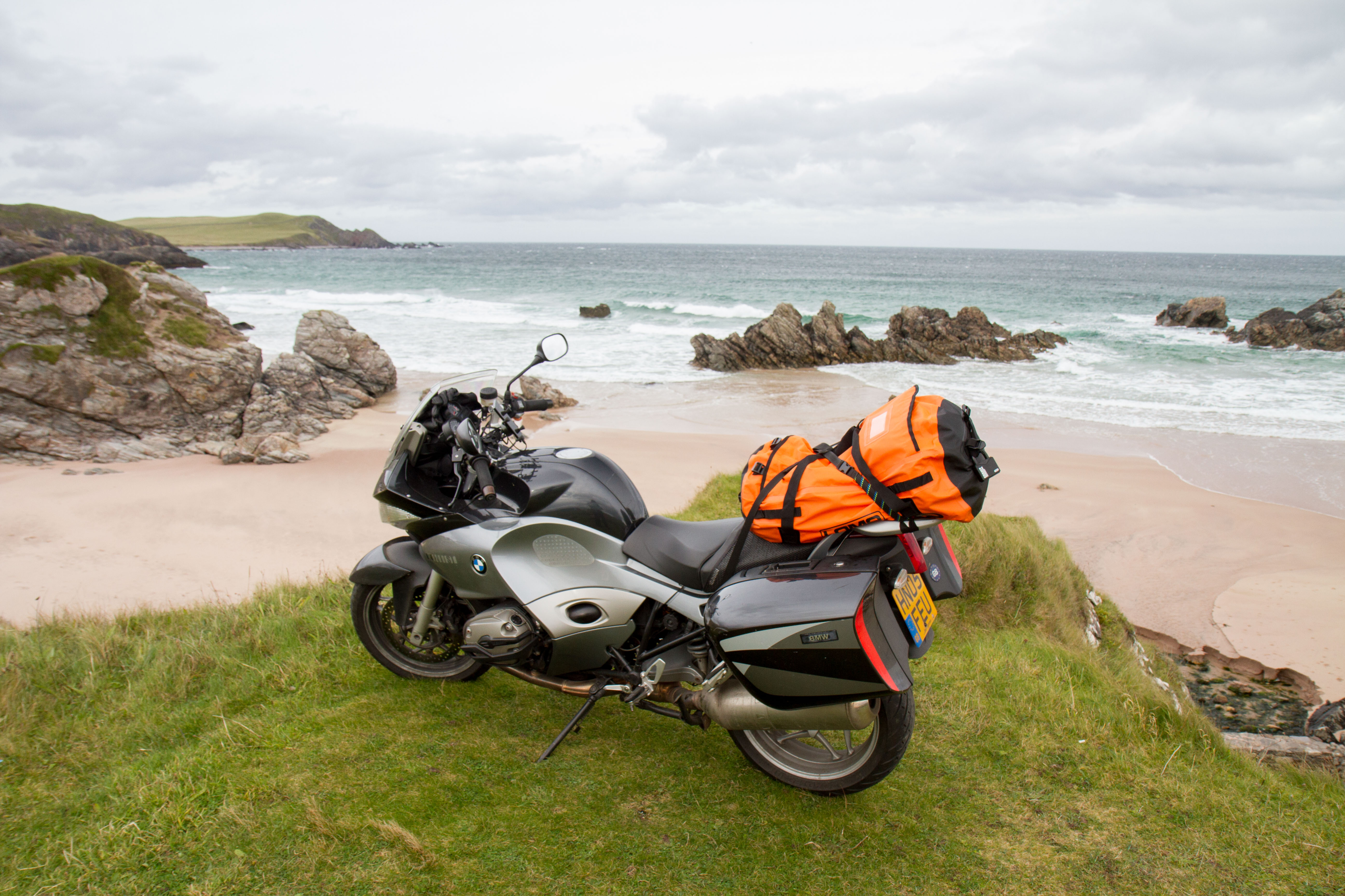
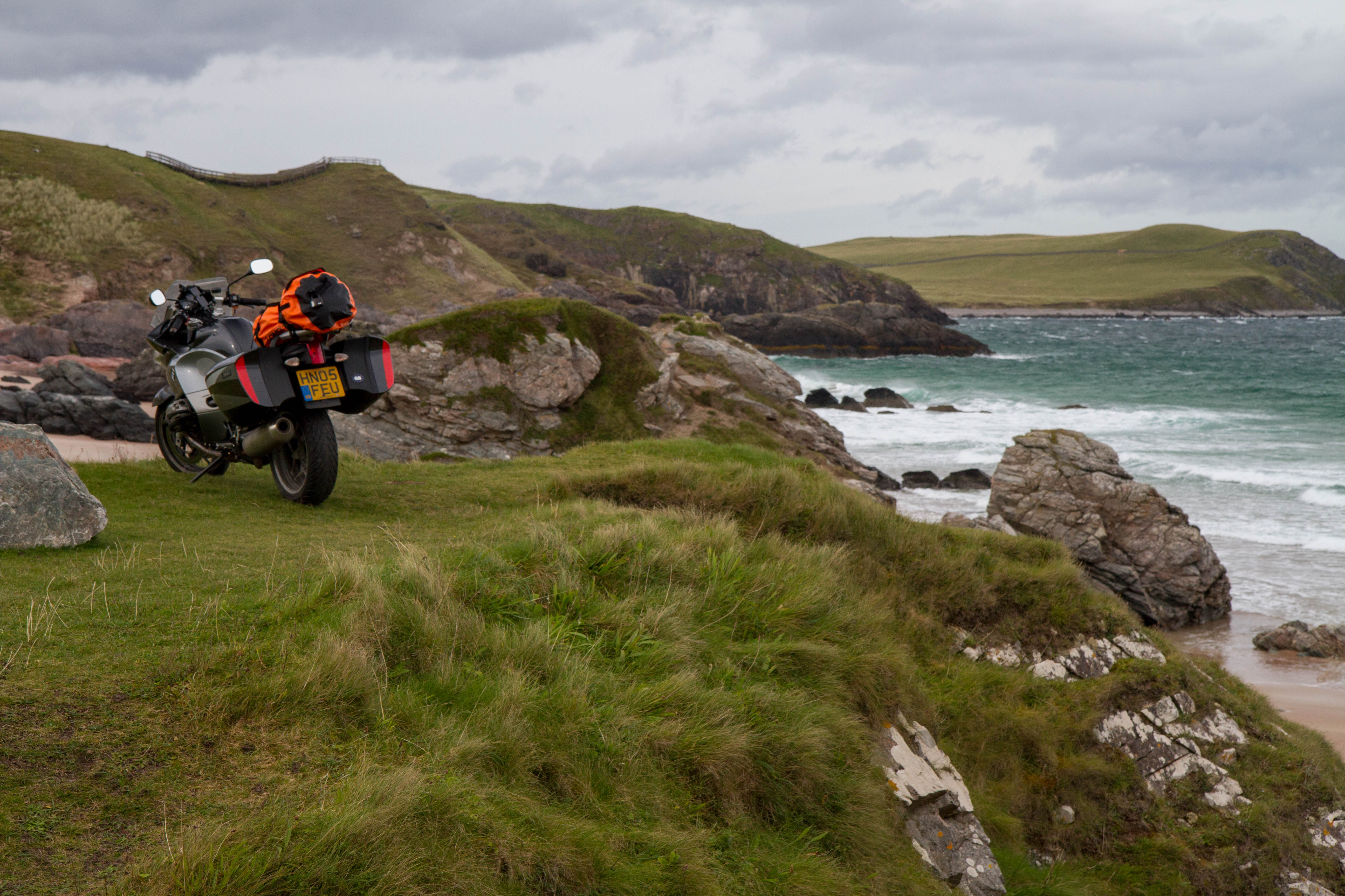
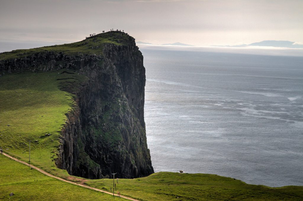
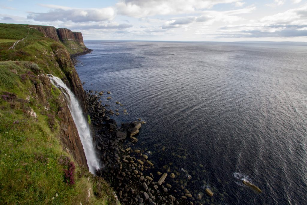
Neist Point and Lighthouse
The Lighthouse is the most westerly point on the Isle of Skye. On a clear day you’ll have views to the Outer Hebrides.
It’s a lovely hike around the points were you can see whales, dolphins, porpoises and the huge basking shark. You’ll also see heaps of sea-birds flying around.
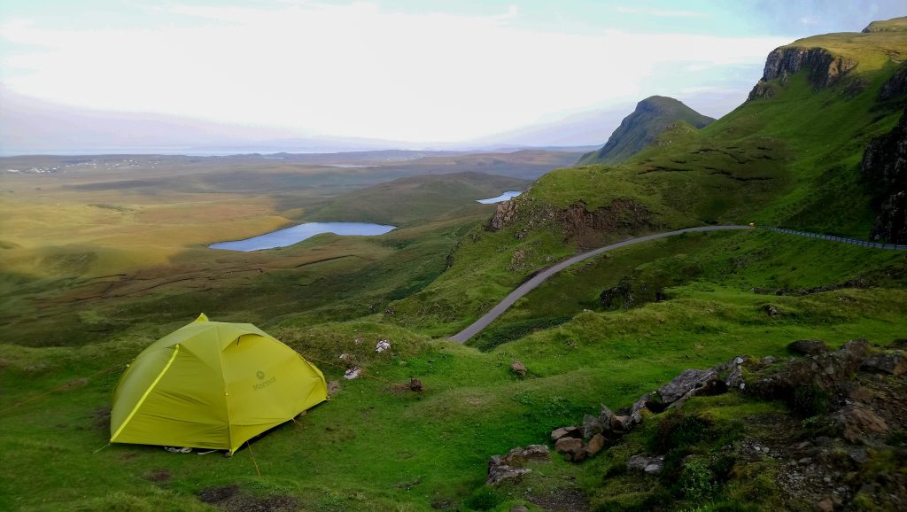
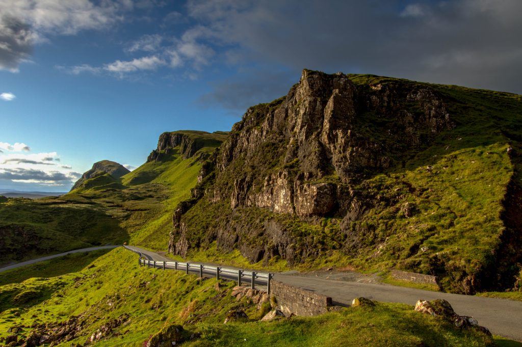
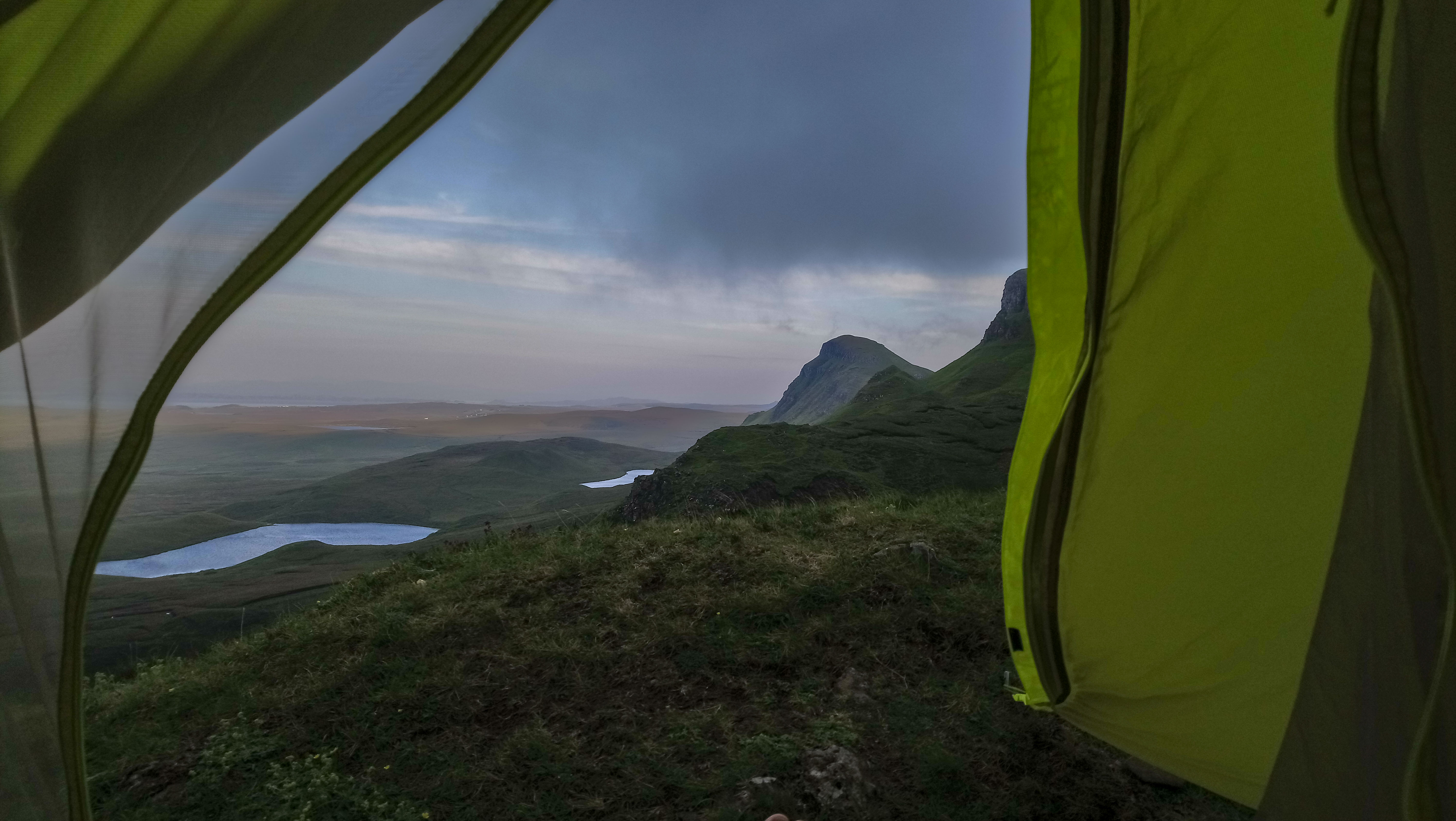
This area is a landslip on the eastern face of Meall na Suiramach, the northernmost summit of the Trotternish. The best road runs across the peninsula. See the map below.
This Epic Ride takes place once you leave Glasgow and head north towards the Highlands. On route you’ll pass sites made famous by movies like James Bond and Harry Potter…. and Scotland’s legendary Lochs.
Starting from Glasgow, this ride heads north to the capital of the Scottish highlands, Inverness.
The Ride
As of 2019, mostly asphalt with alot of single lanes and narrow roads. It’s a tourist hot spot in the summer months. With a lot of Camper-vans especially around Glen Coe.
Highlights
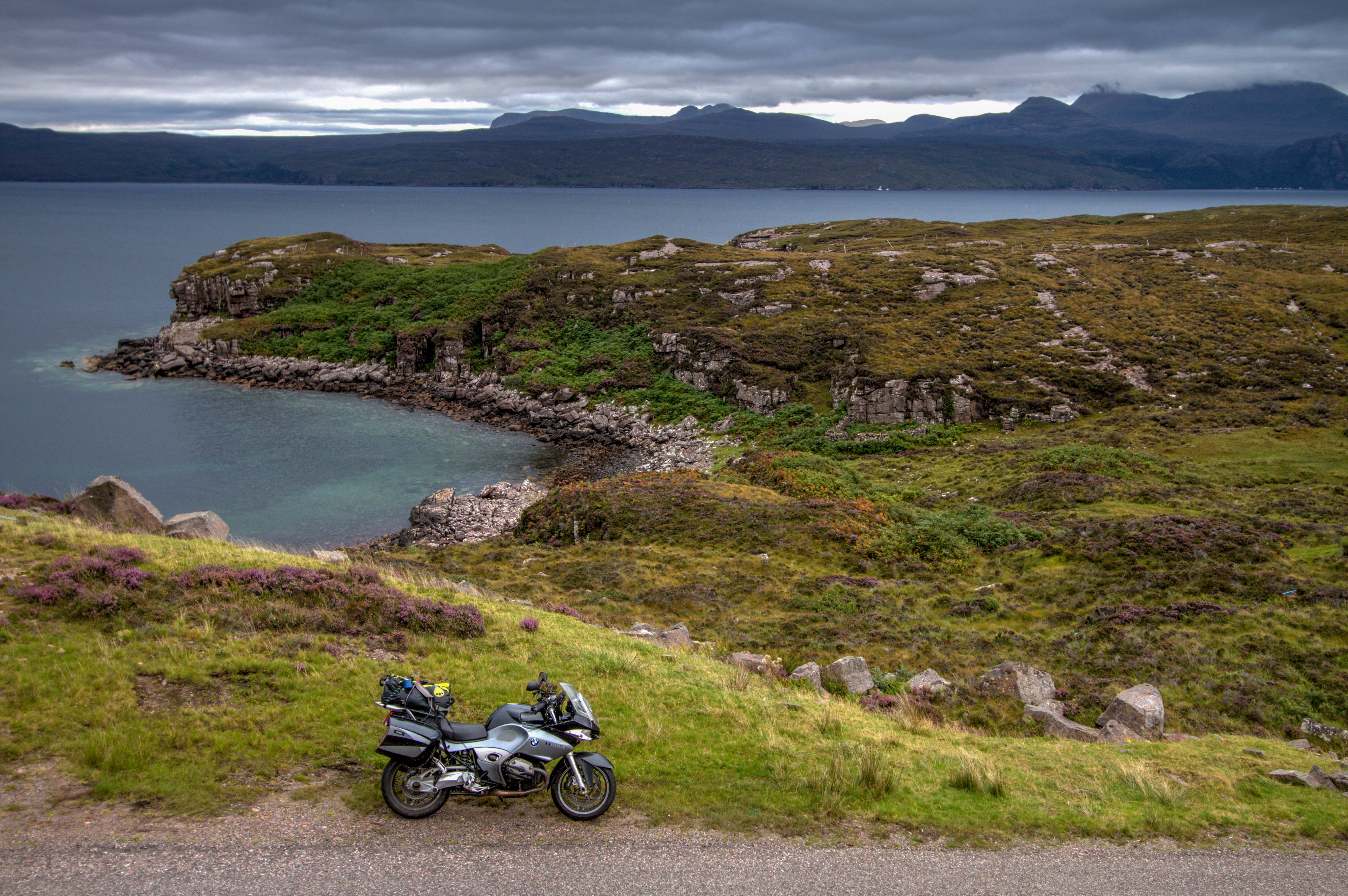
Loch Lomond & The Trossachs National Park
With its proximity to Glasgow, Loch Lomond is surprisingly quiet. Since there is a wild camping ban in place during the summer months, it only makes for a good pit stop after leaving the city.
Glen Coe
Glen Coe is the crown jewel of valleys in Scotland. It is famous for the James Bond Scene in Skyfall and therefore can be very busy in the summer. I’d recommend camping at Kinghouse Hotel. It is free and you can use the showers etc. It has a great pub for food and drinks.
For those looking for the Skyfall Scene location. It is actually in Glen Etive. The road is a dead end and is equally amazing as the road through Glen Coe. The exact spot is here
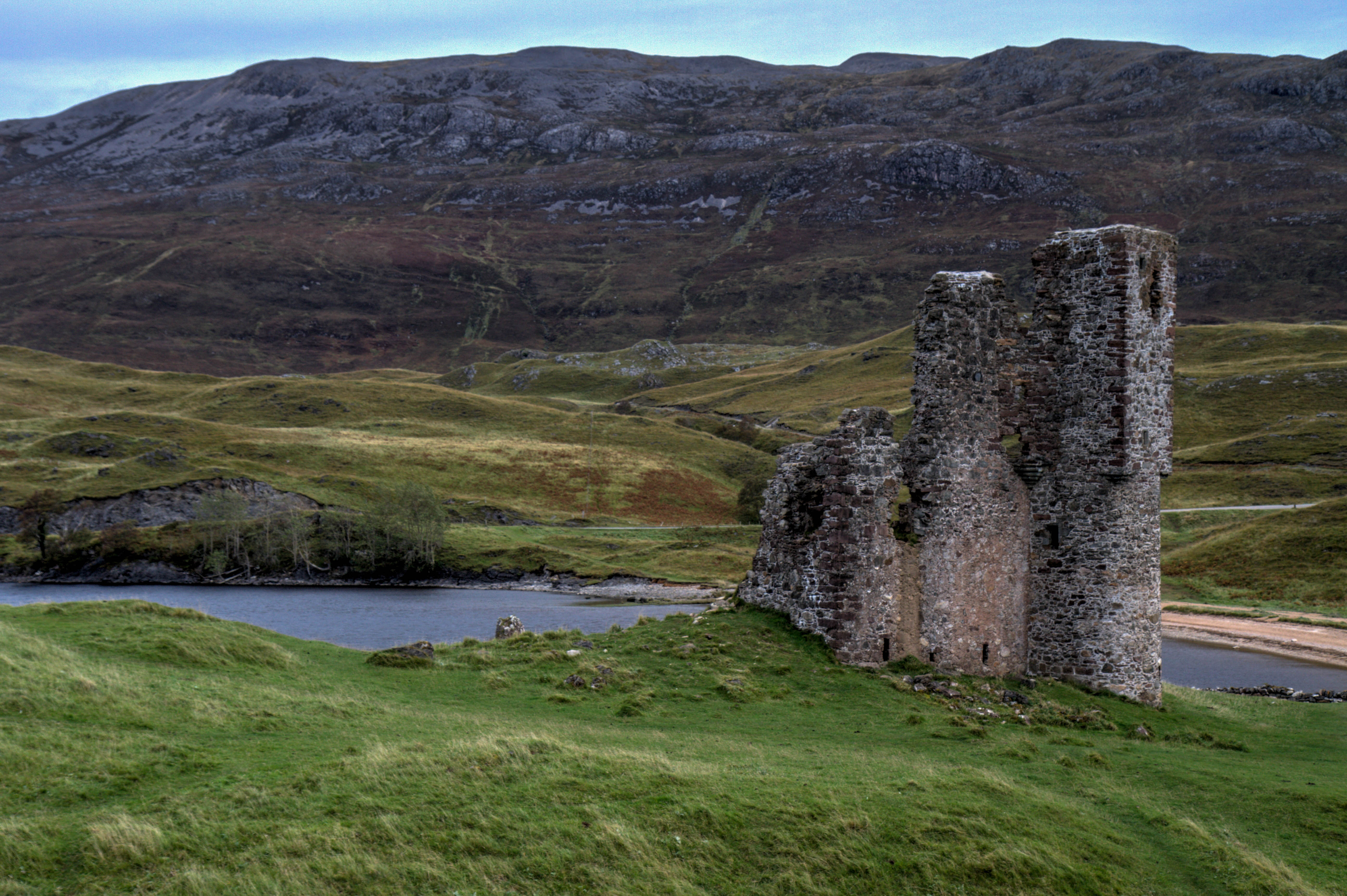
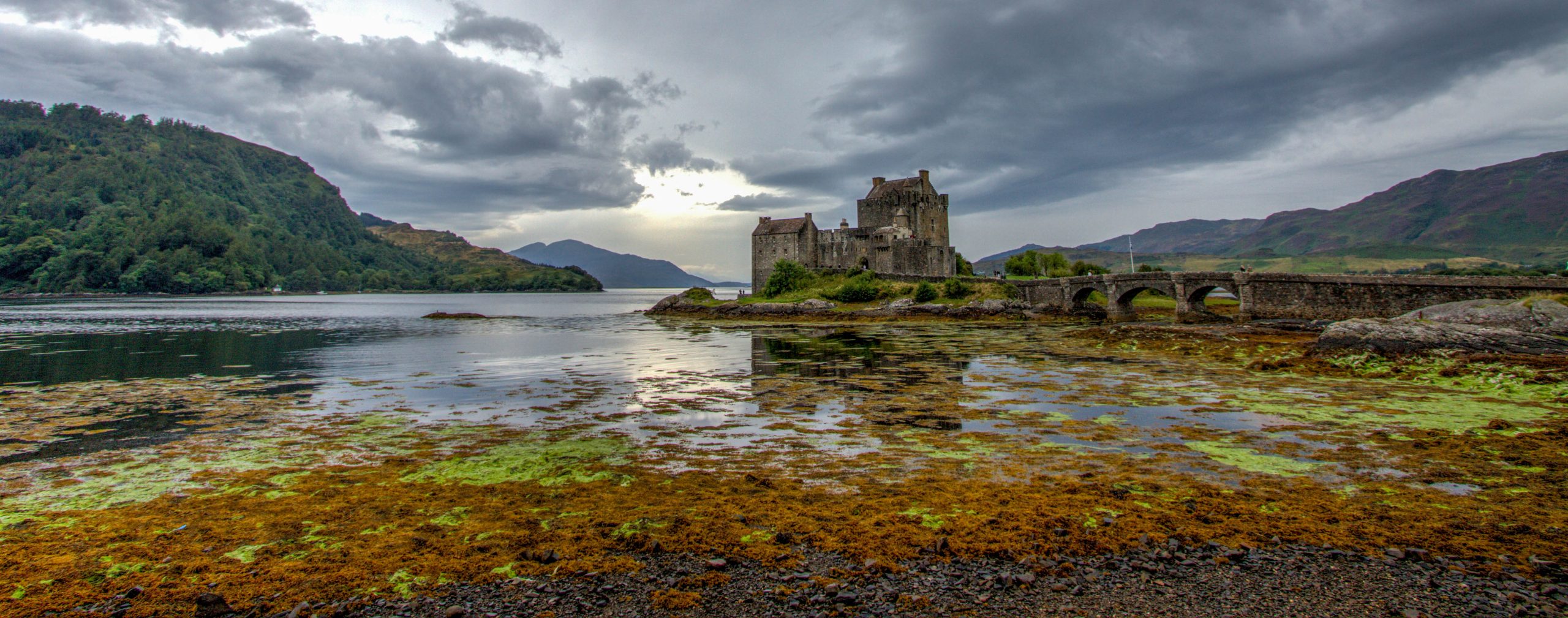
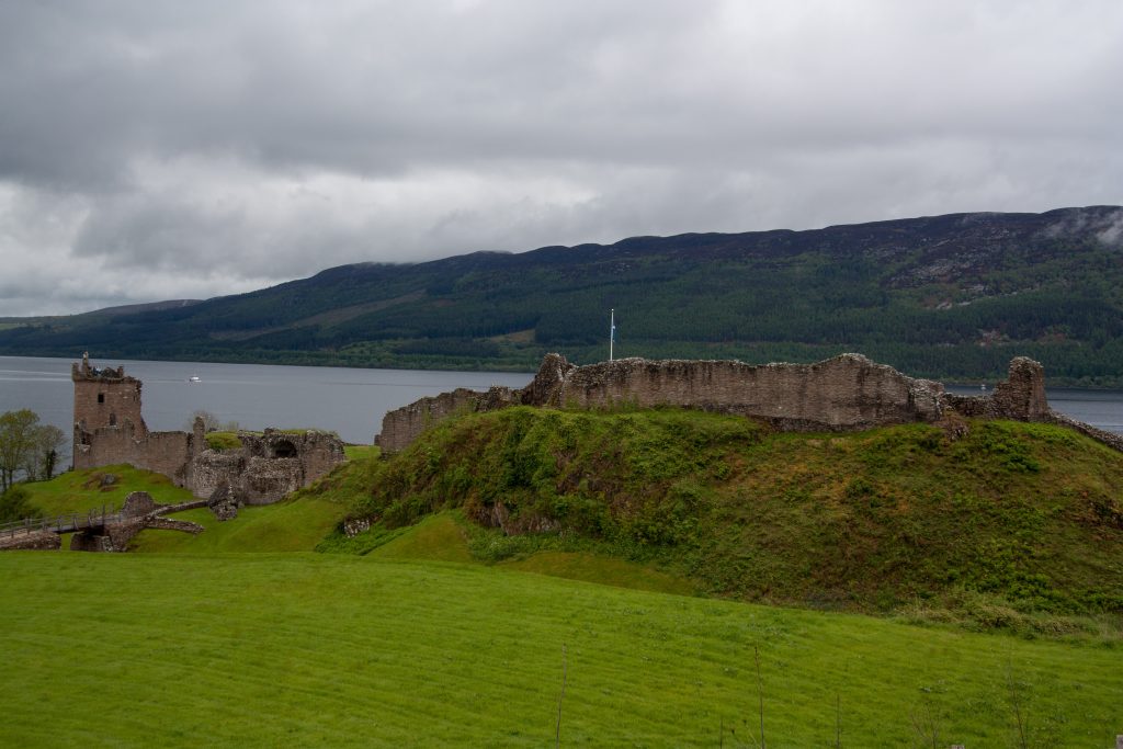
Urquhart Castle sits on the famous Loch Ness. The castle is pretty much ruined but it is located right on the A83 and provides great views over the Loch.
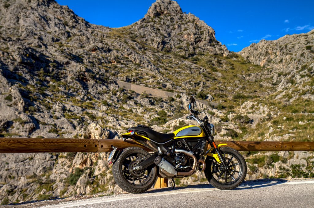
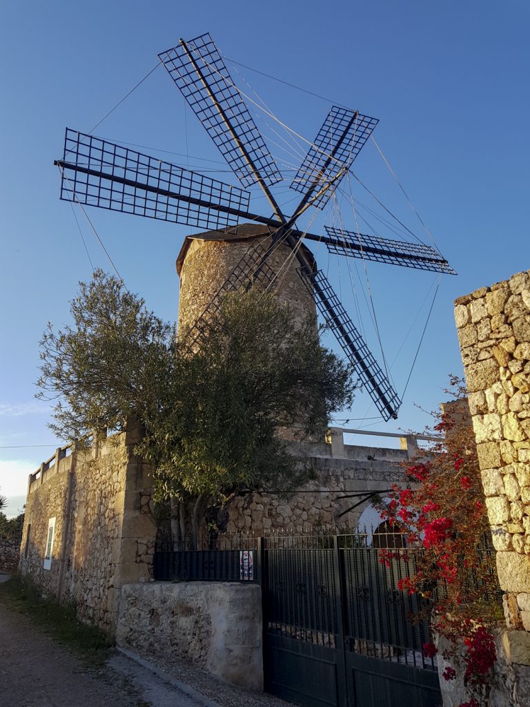
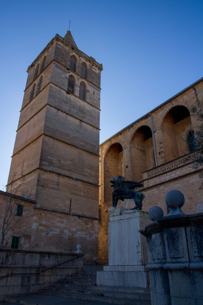
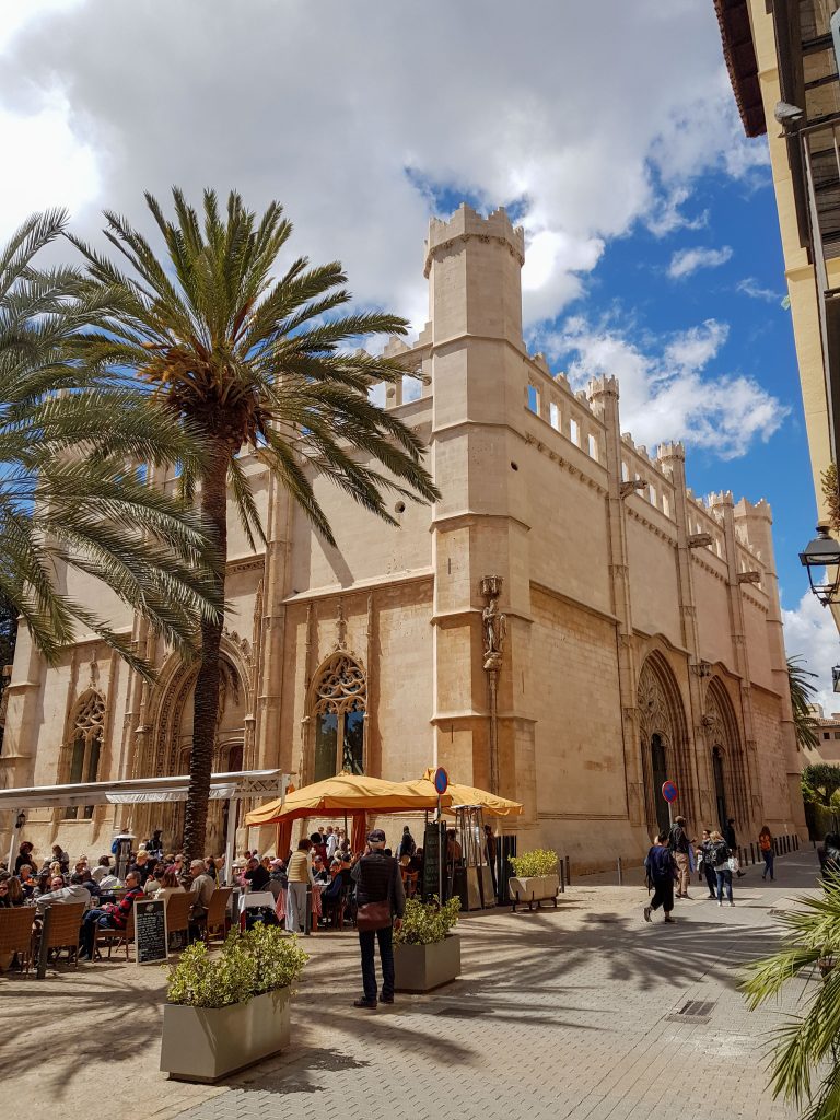
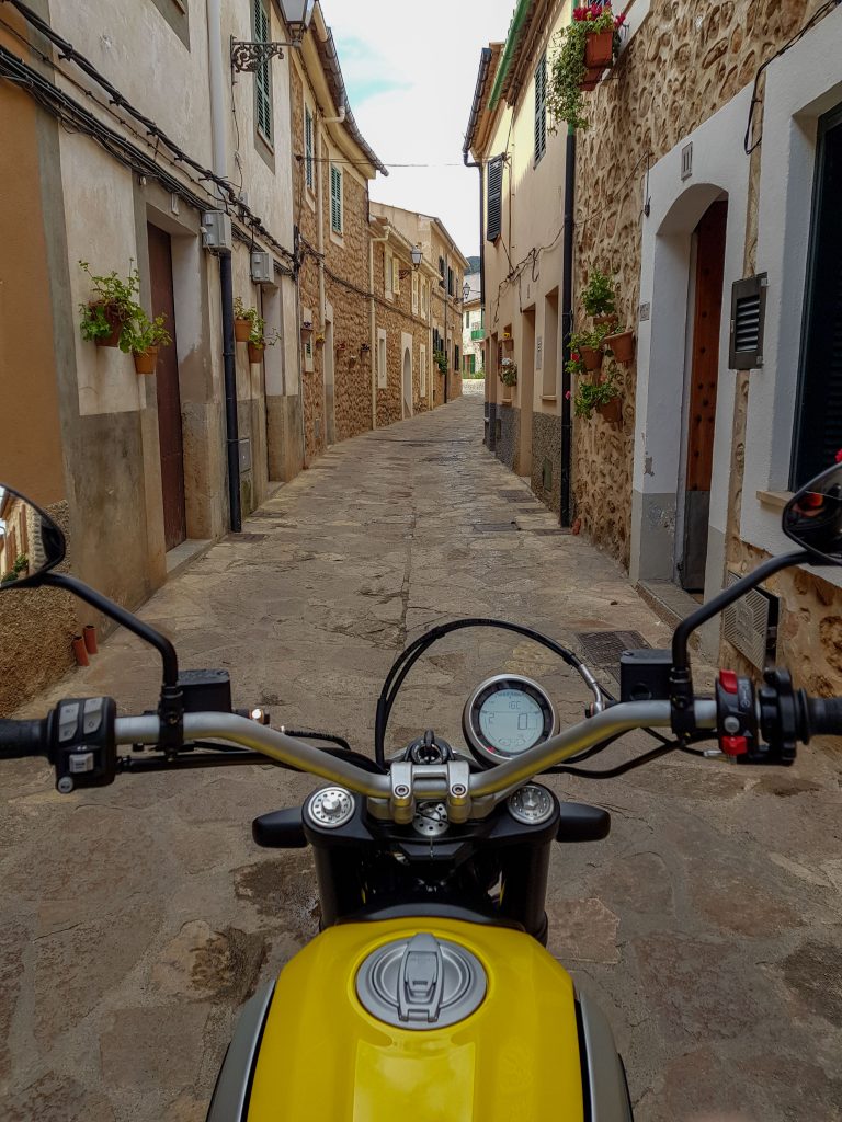
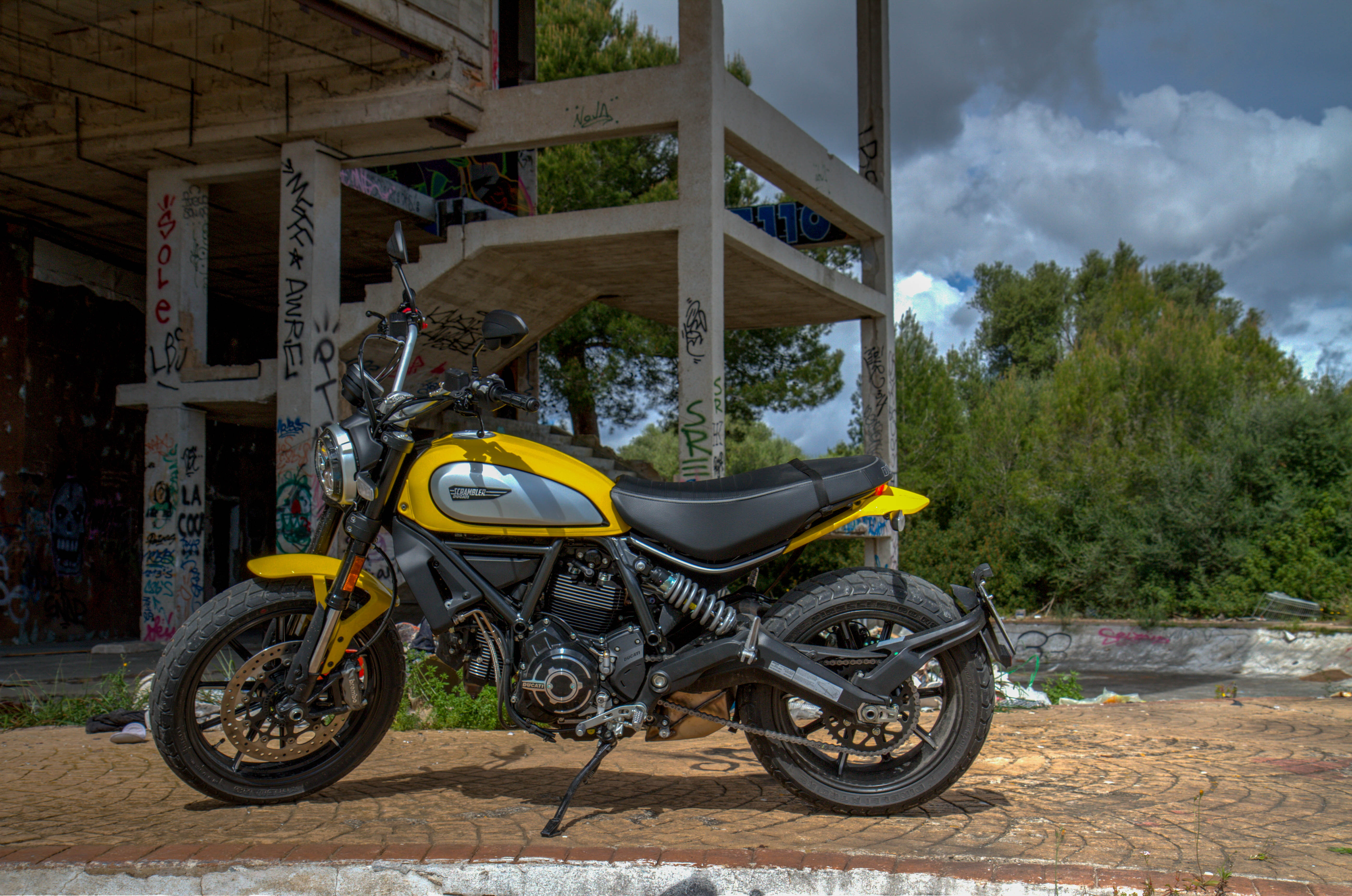
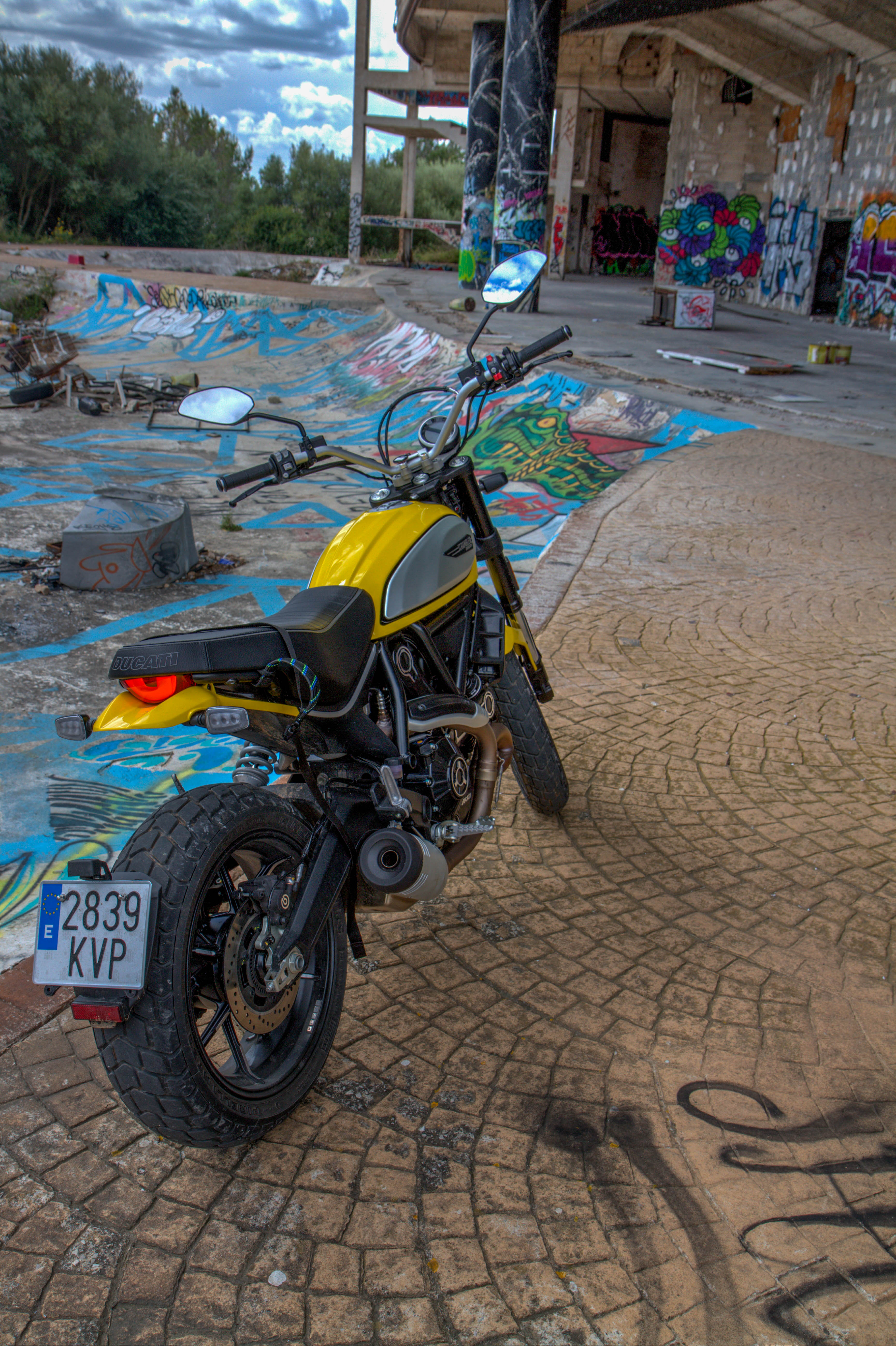
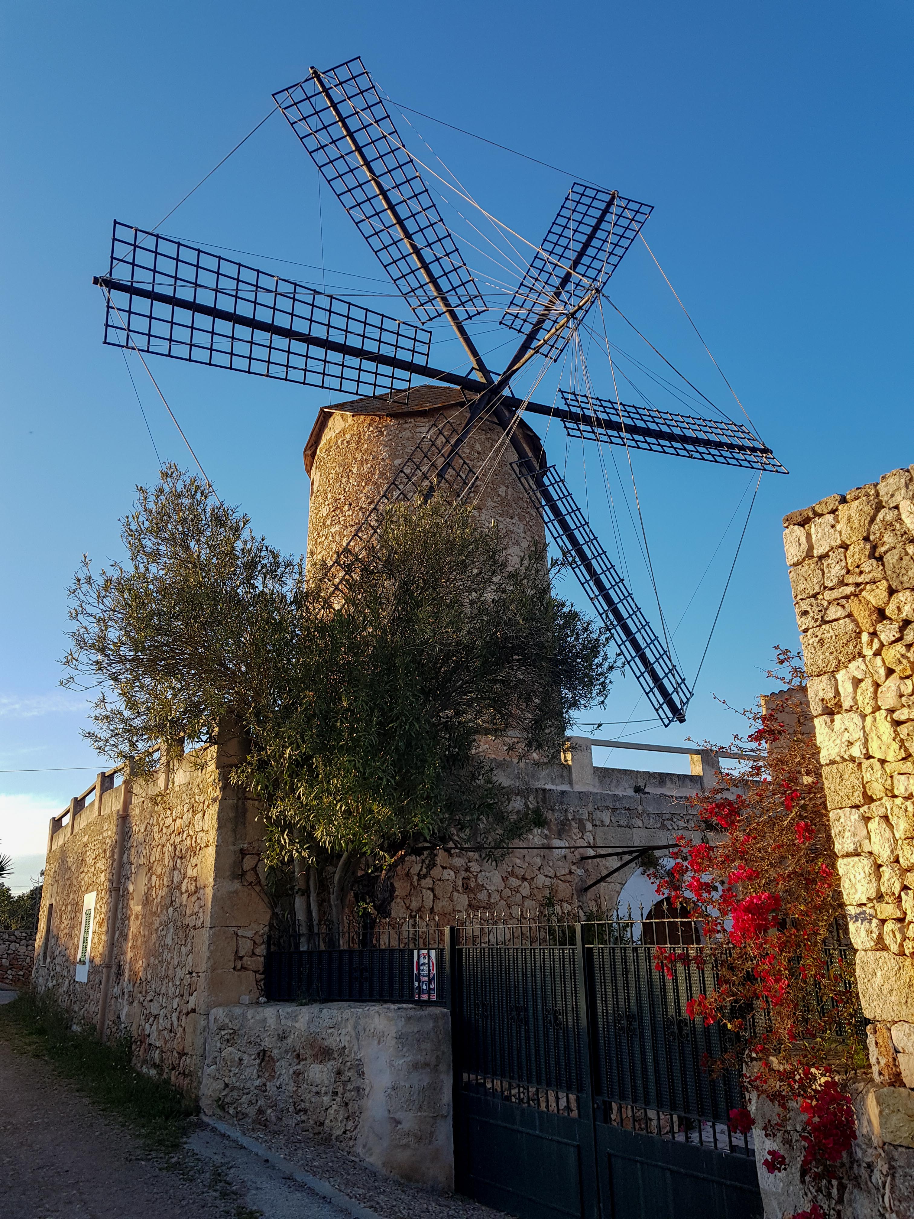
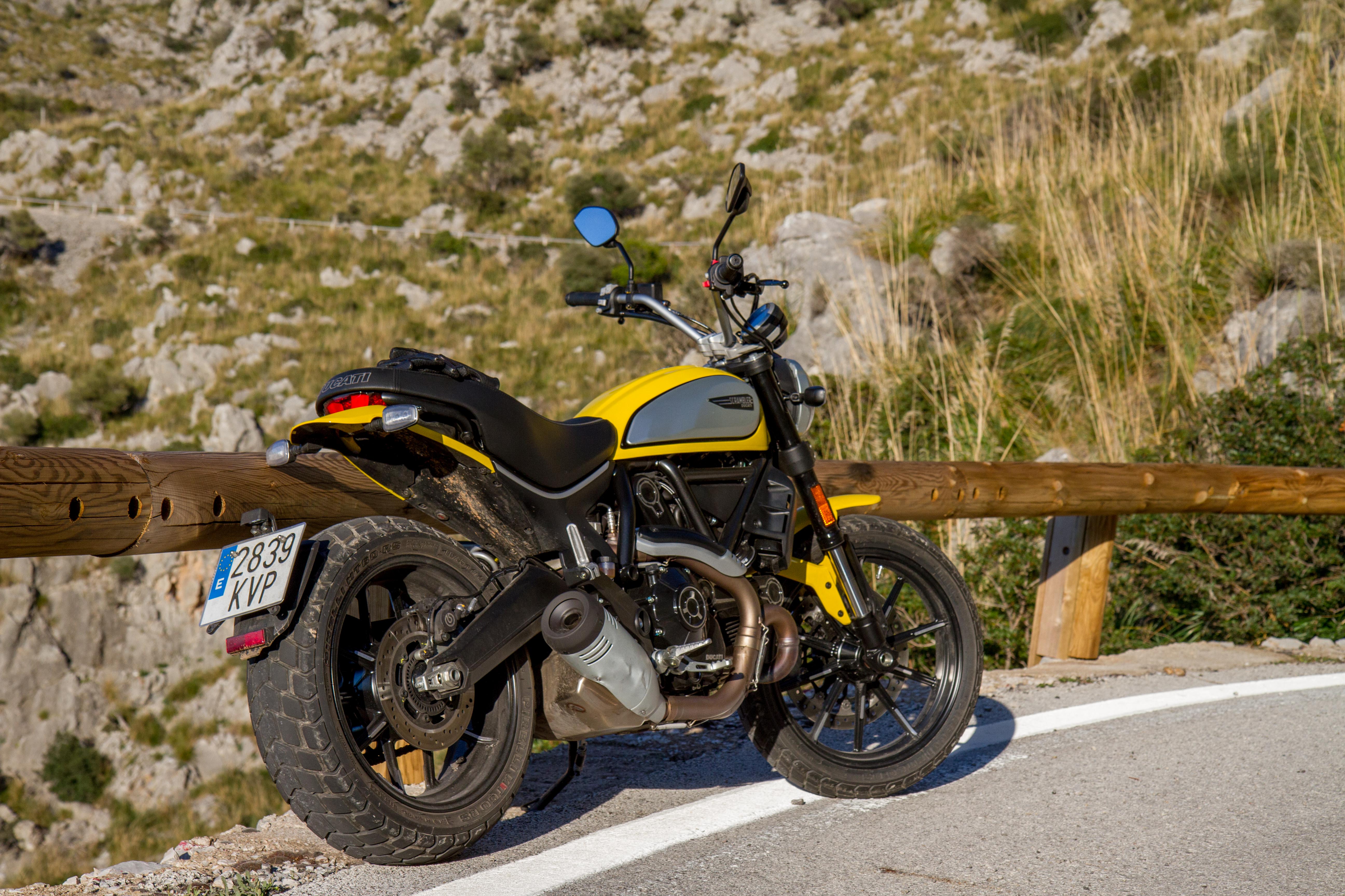
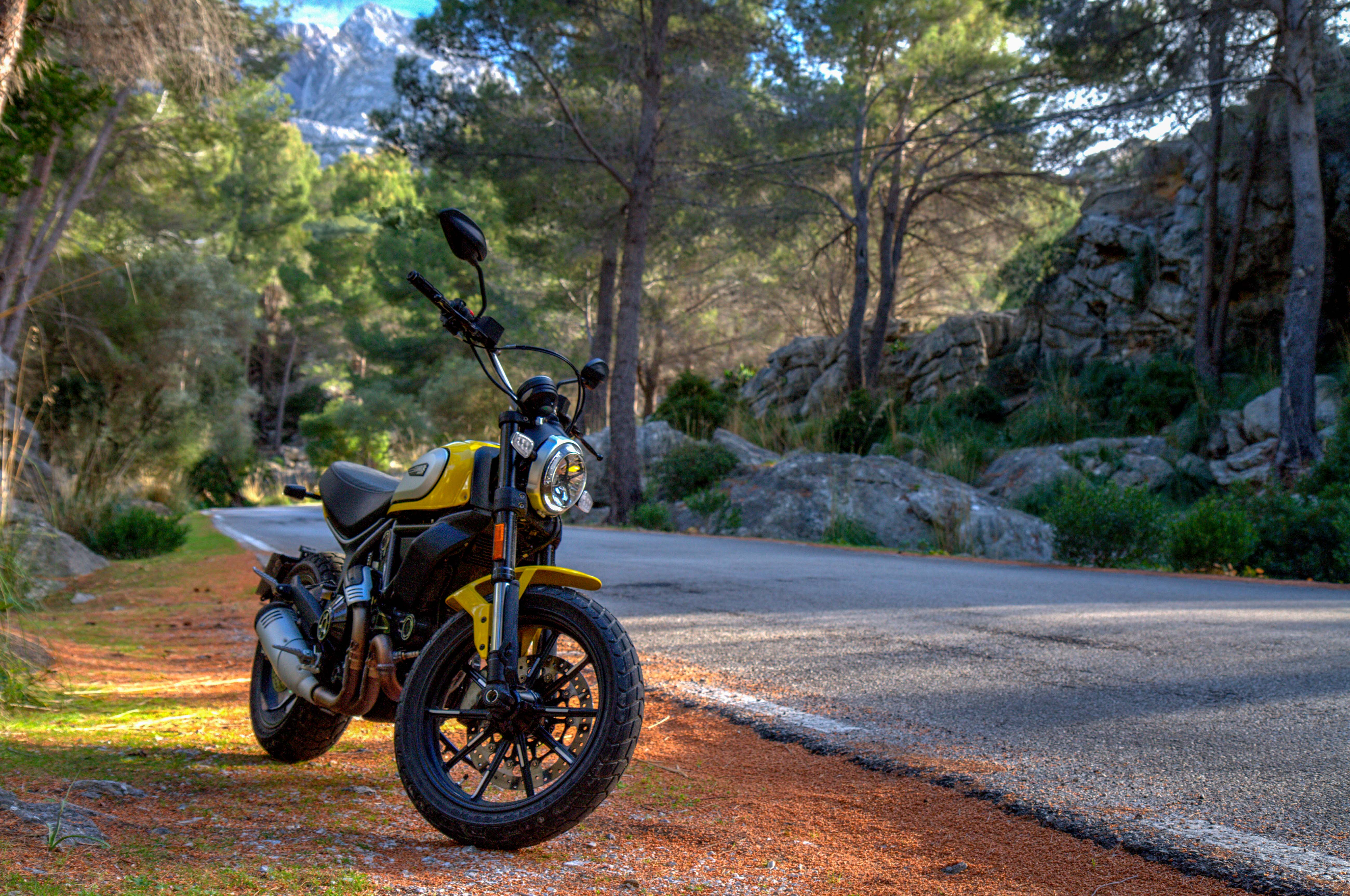
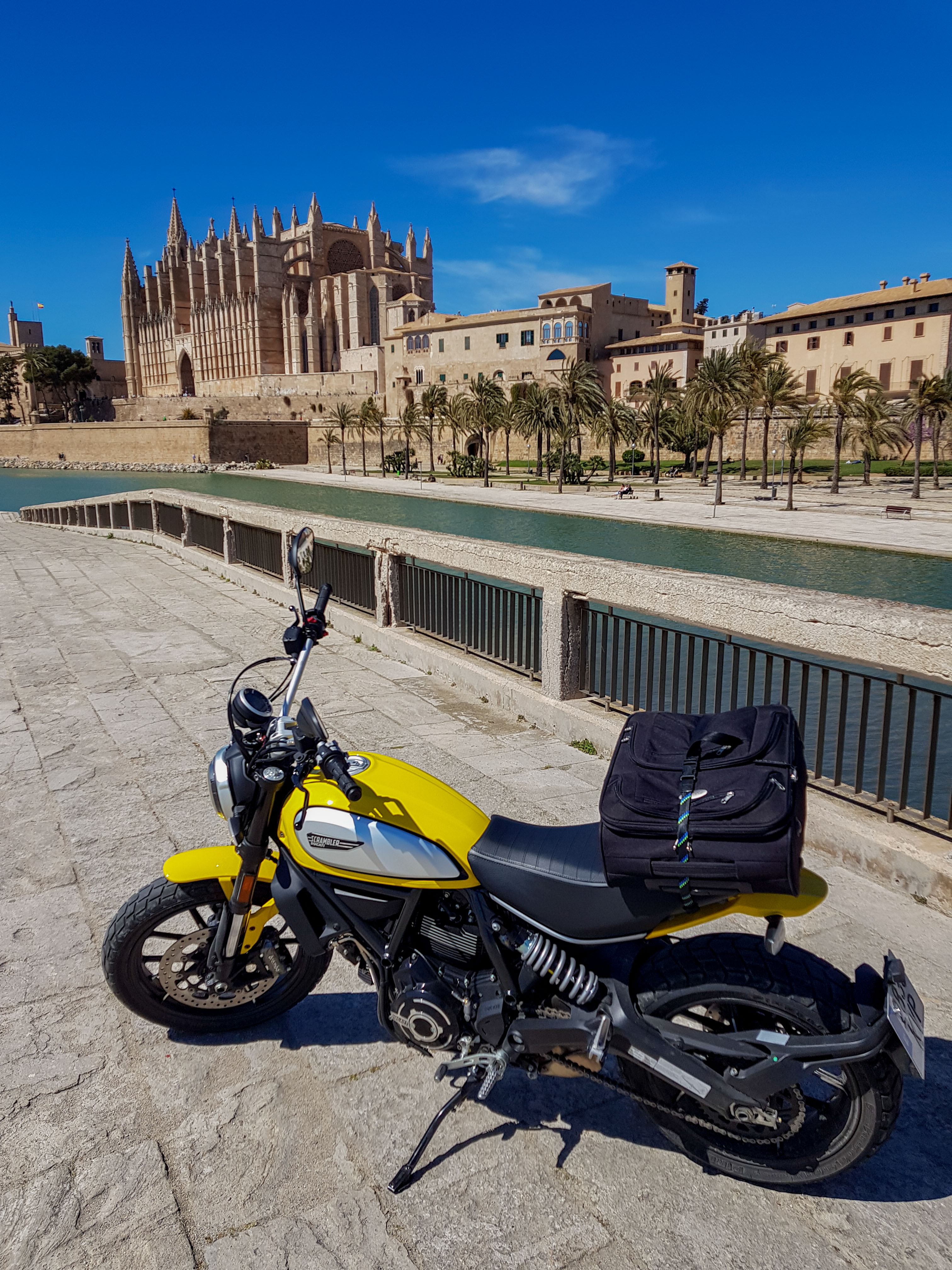
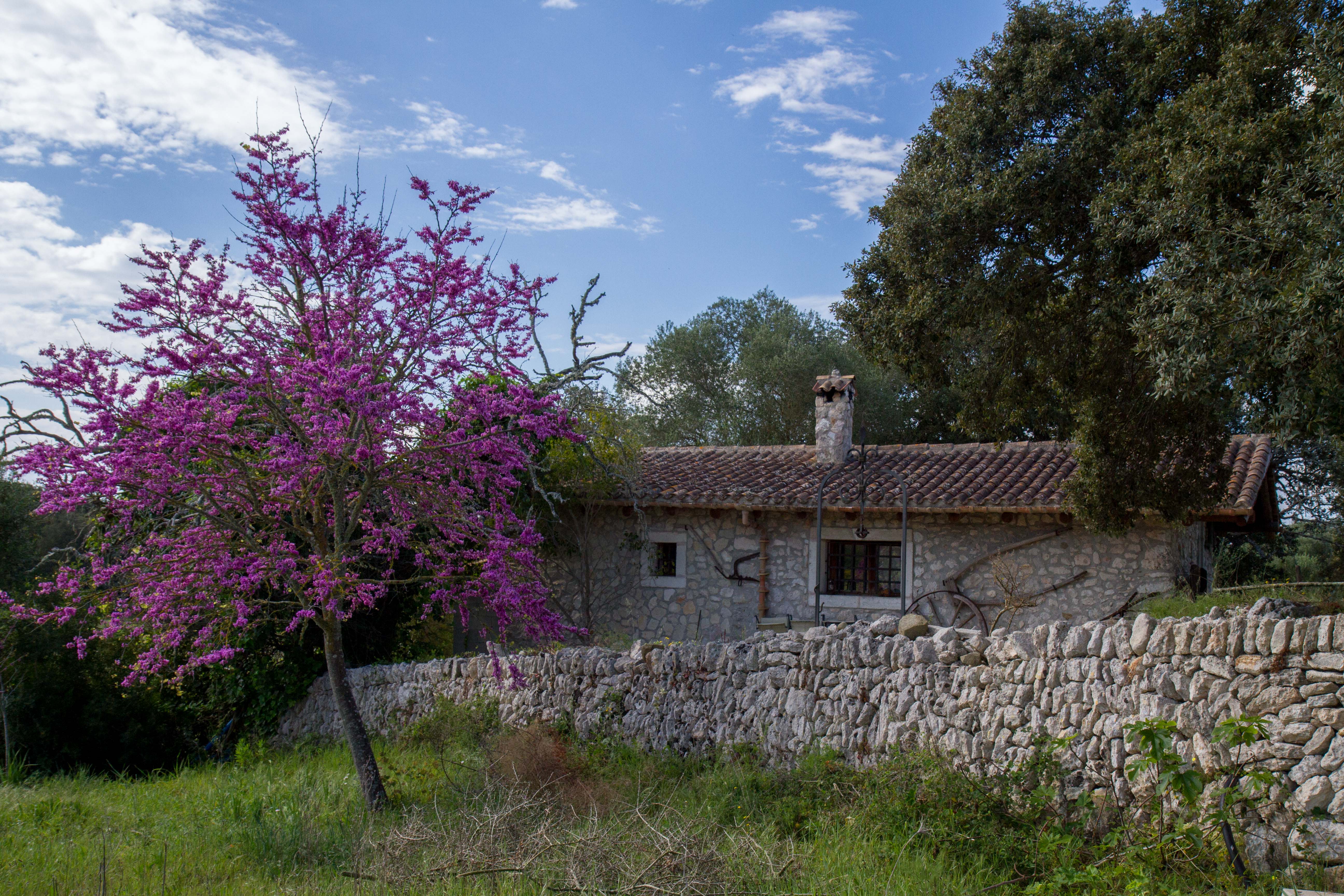
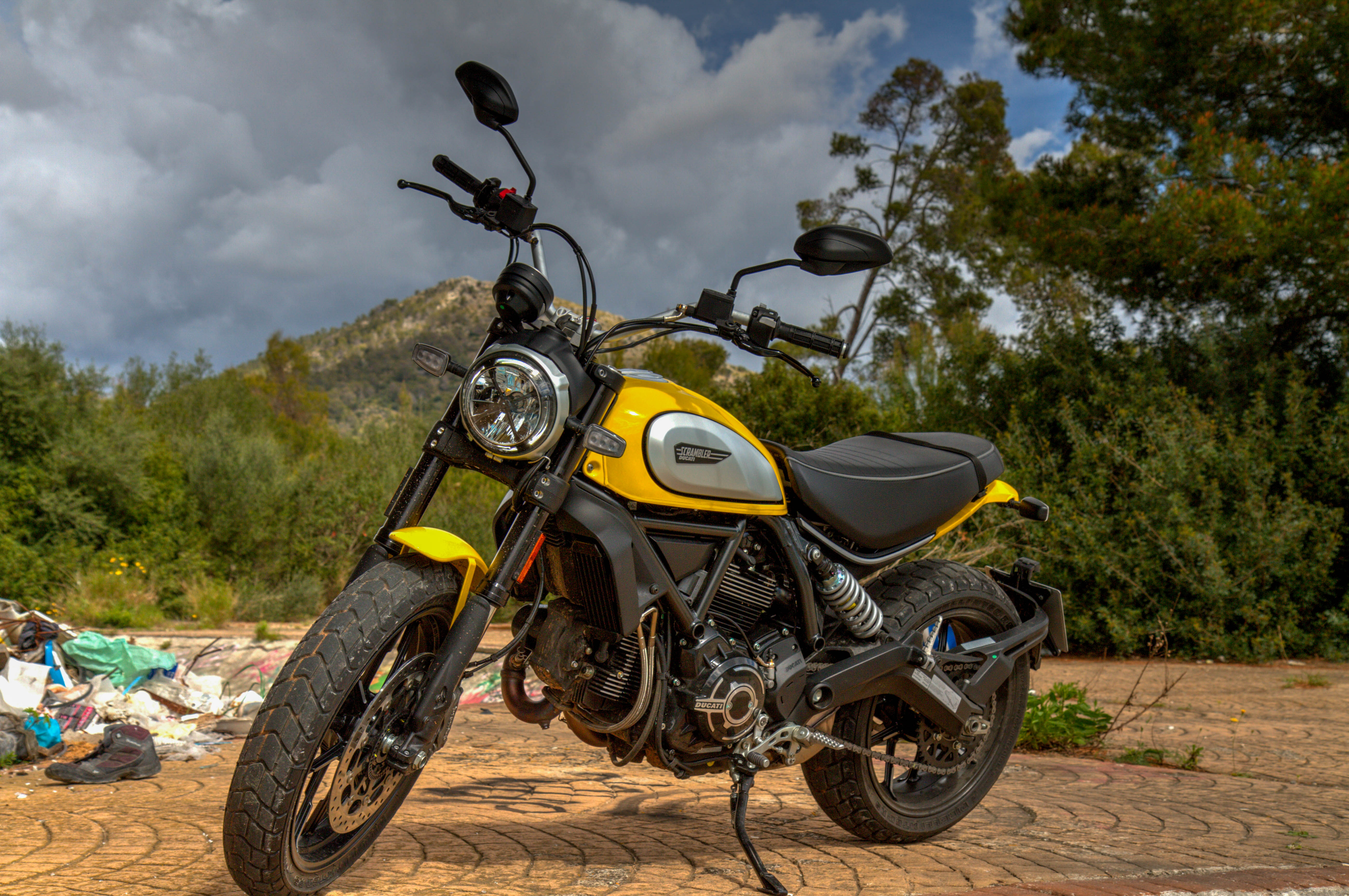
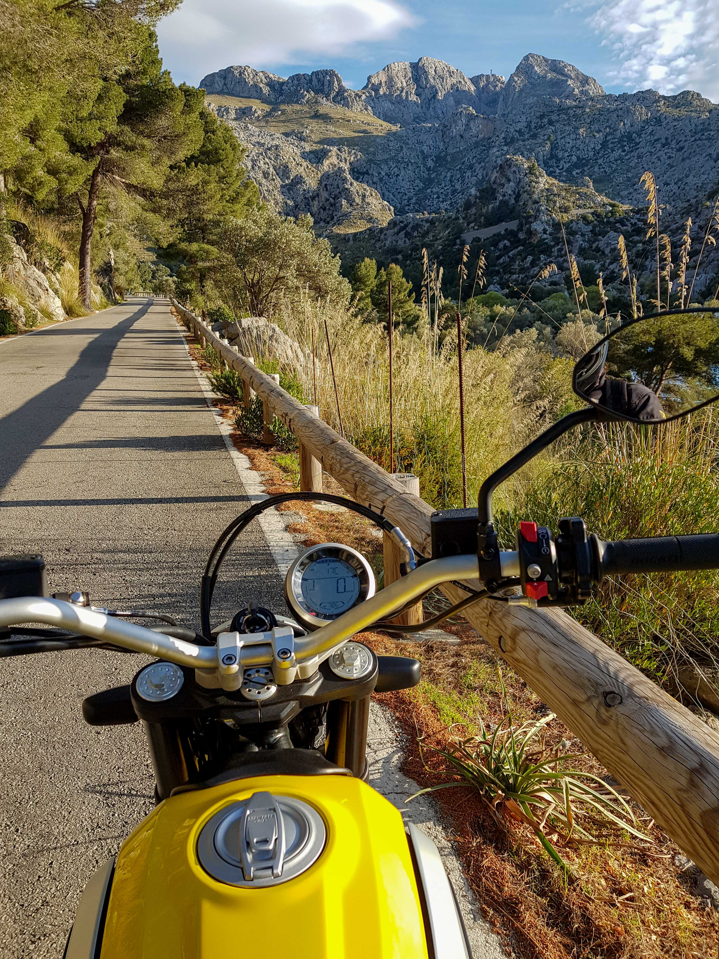
This Epic Ride takes place on the largest of the Balearic Islands in the Mediterranean Sea, Mallorca!. This is an island that satisfies the need for beaches, mountains, great food and a relaxed way of life.
As of 2019, mostly asphalt with alot of single lanes and narrow roads. It’s a tourist hot spot in the summer months. With a lot of Cyclists circling the island.
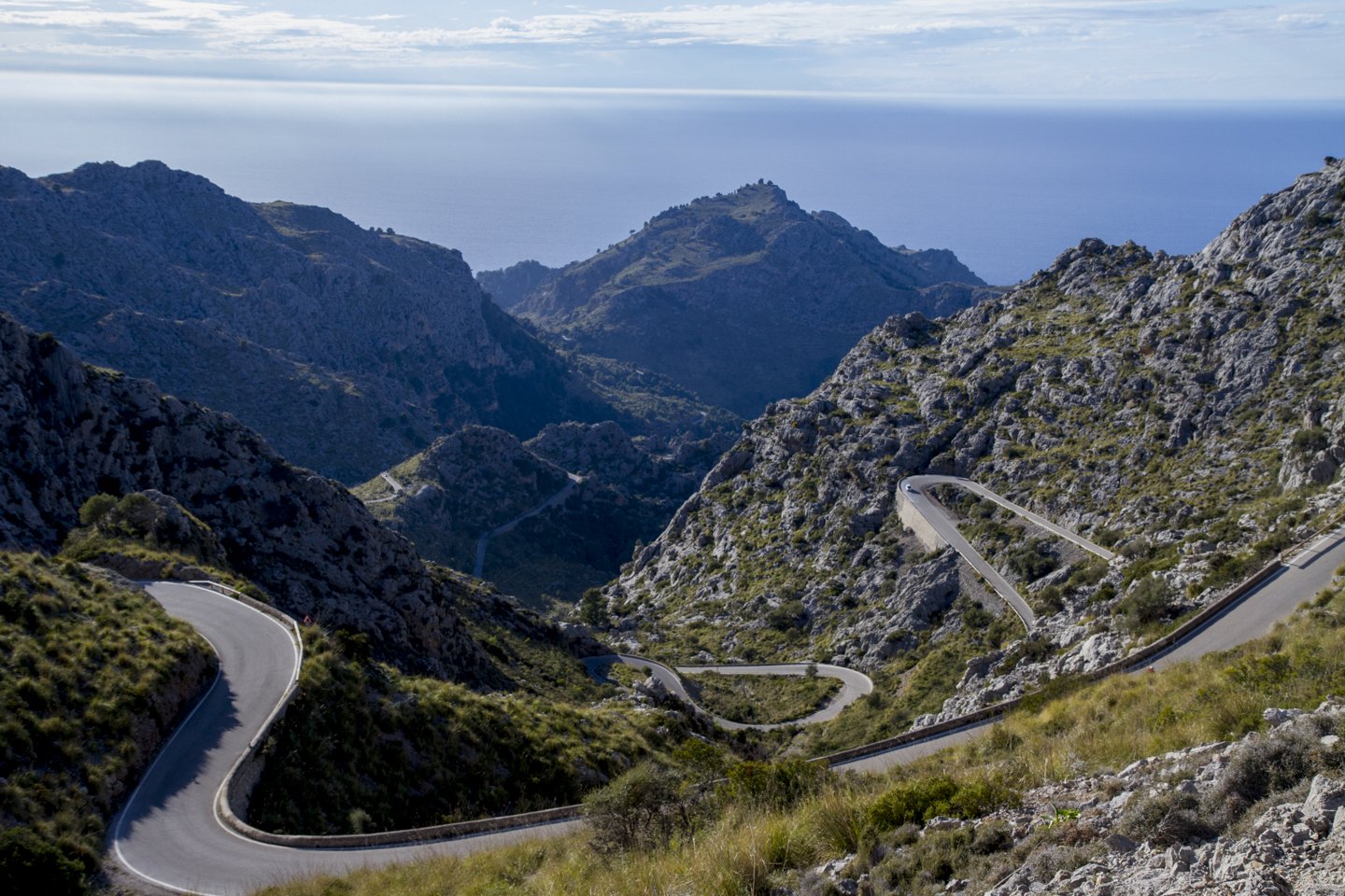
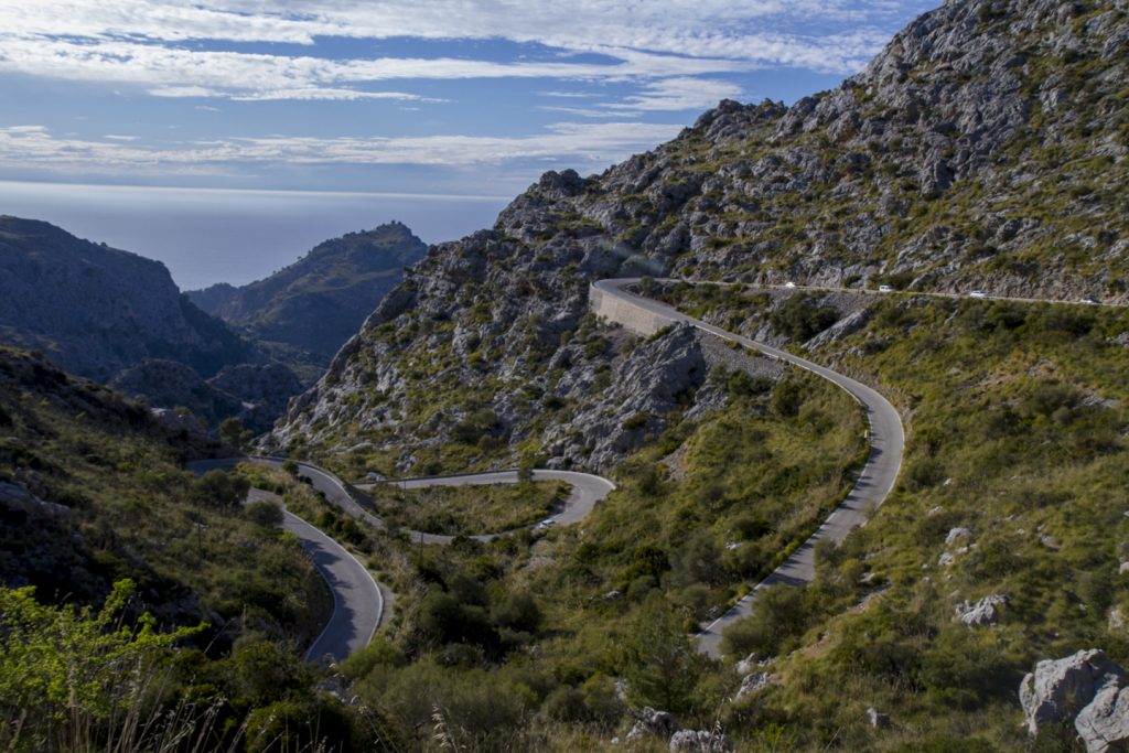
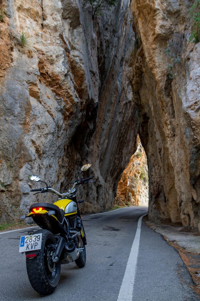
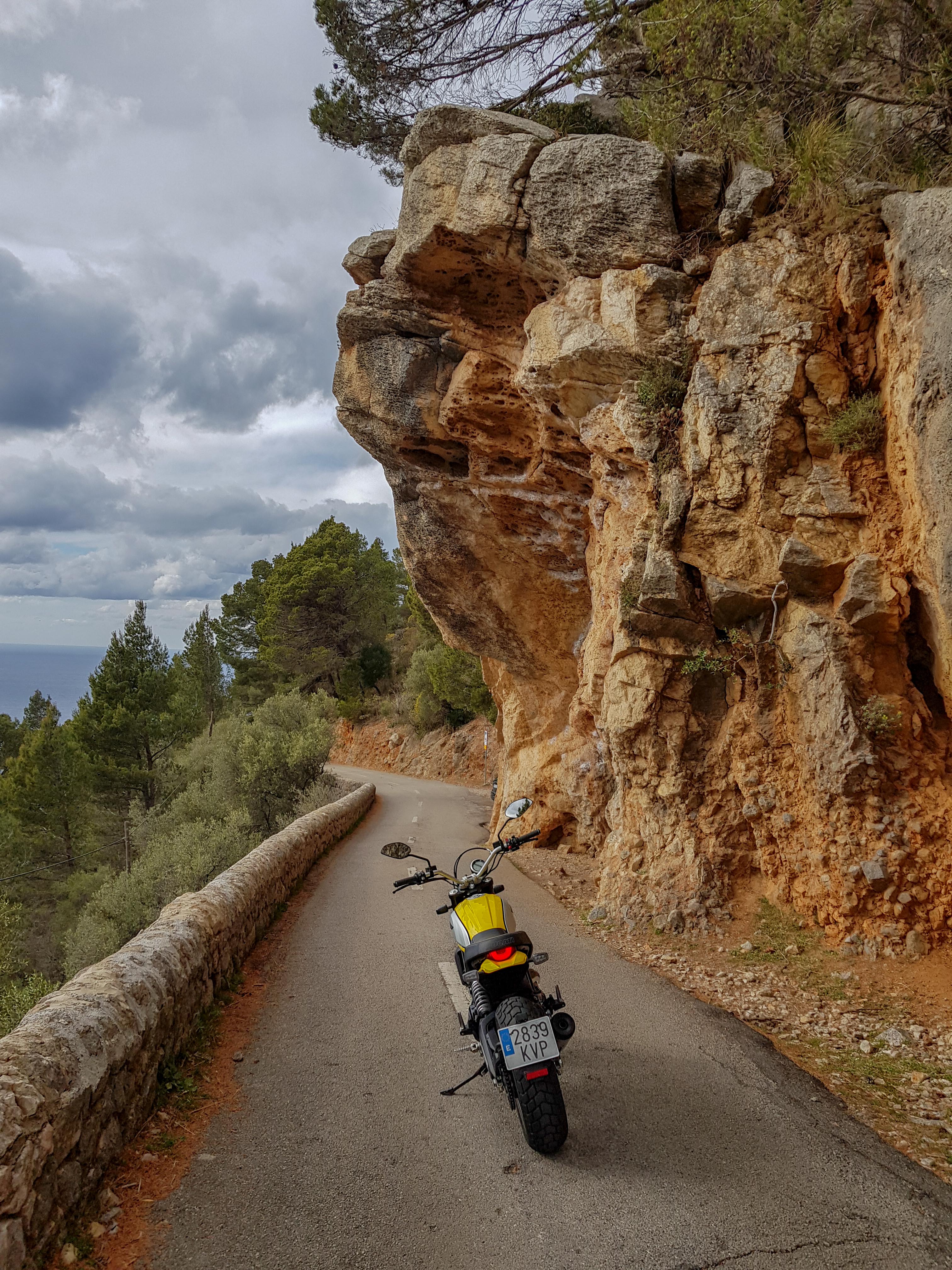
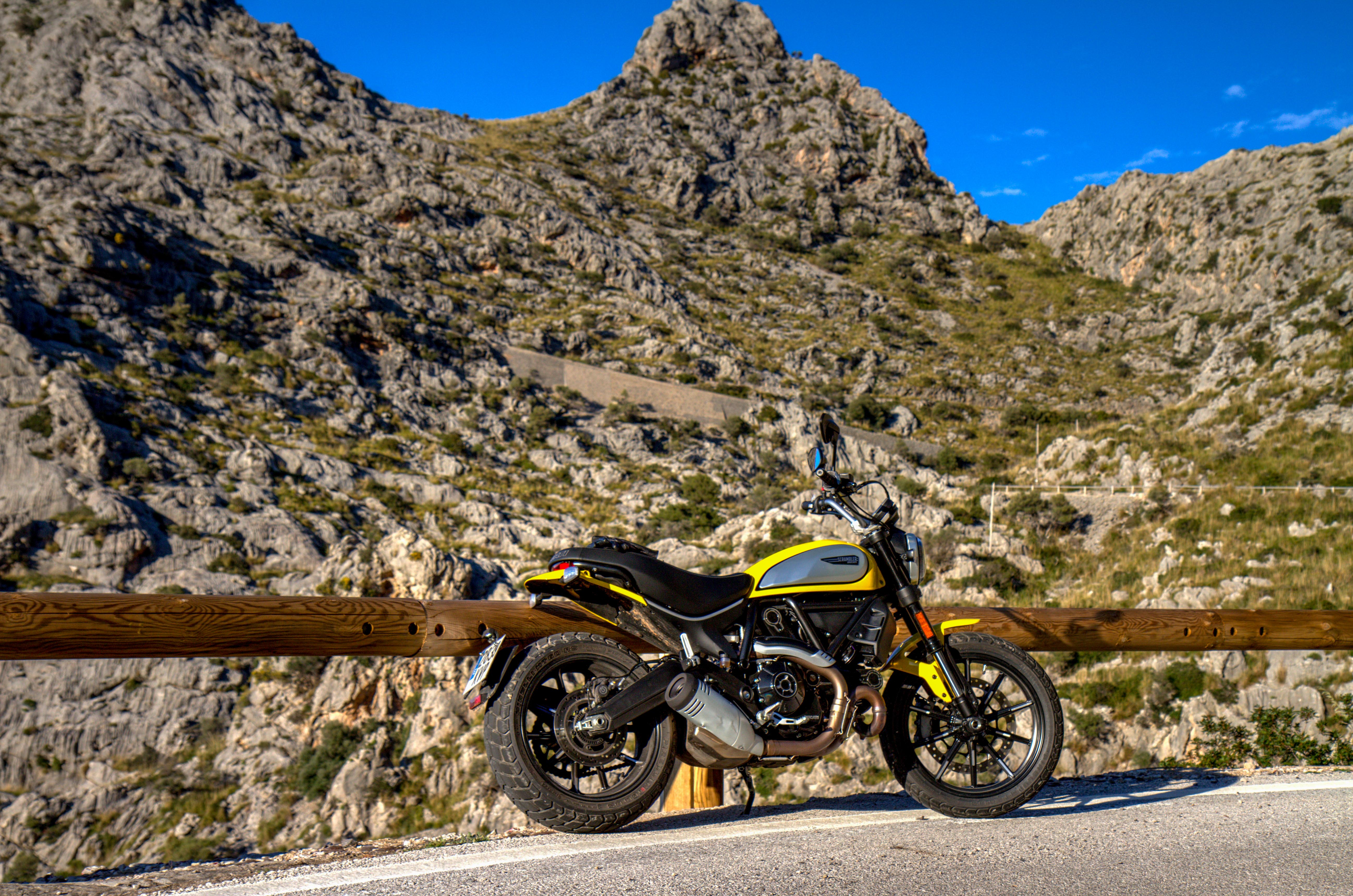
In the southwest–northeast part of the island you’ll find the Serra de Tramuntana which forms the backbone of the Spanish island of Mallorca. The highest peak is the Puig Major, which at 1,445 metres, is the highest mountain in the Balearic Islands.
For bikers, the mountain range has some amazing roads right along the sea.
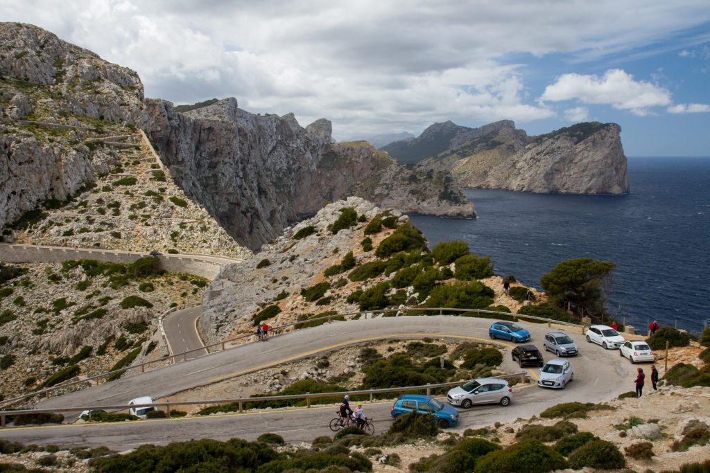
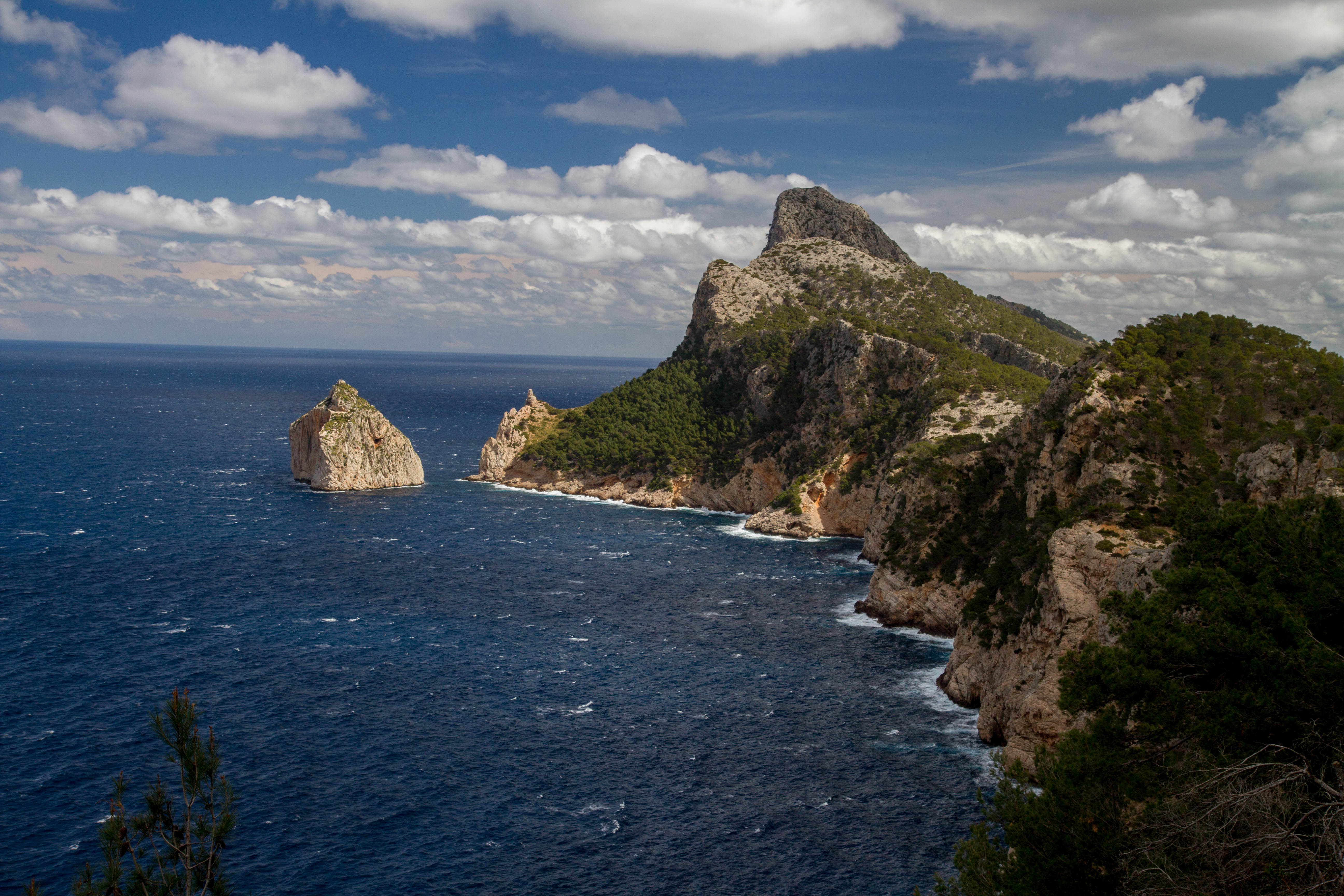
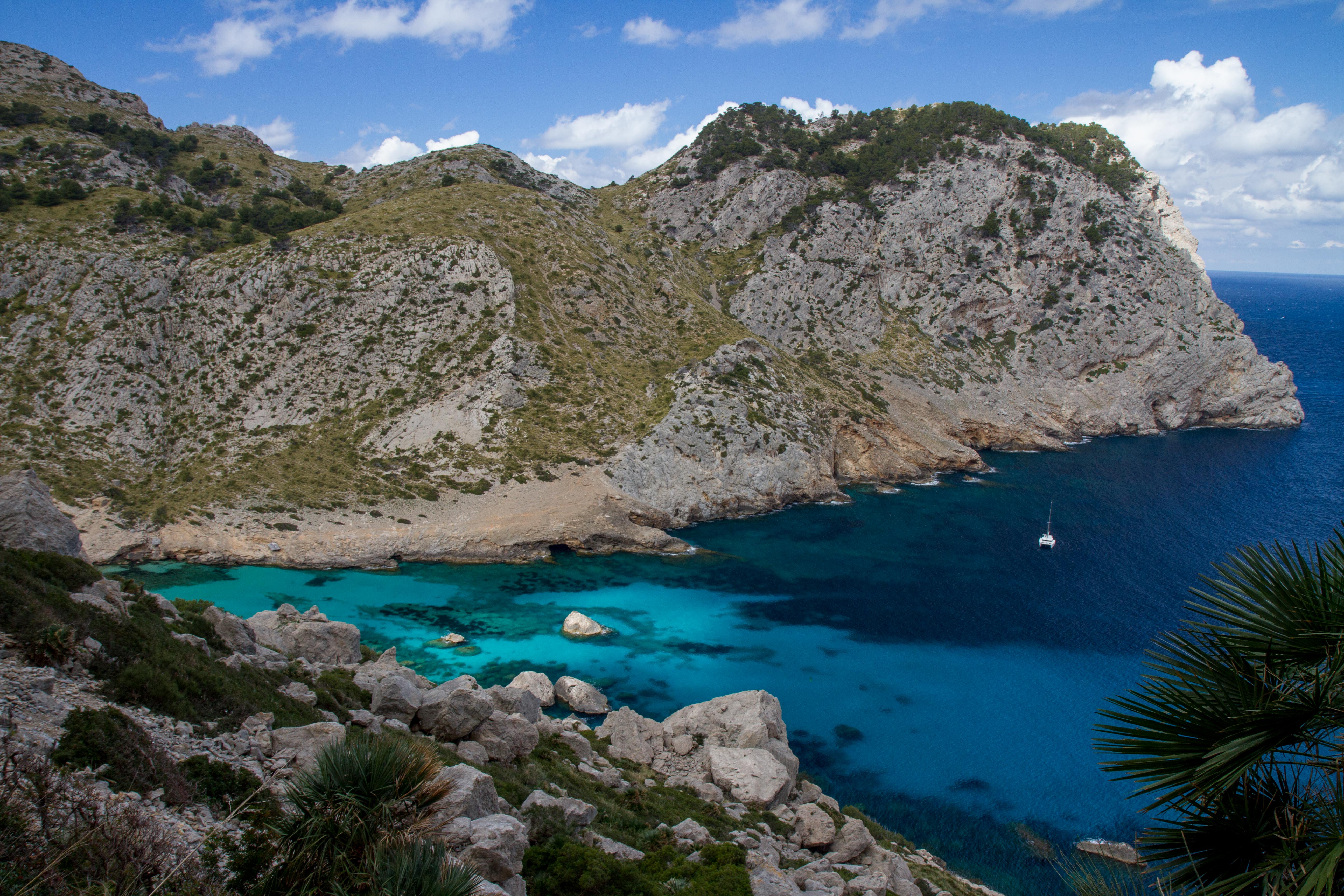
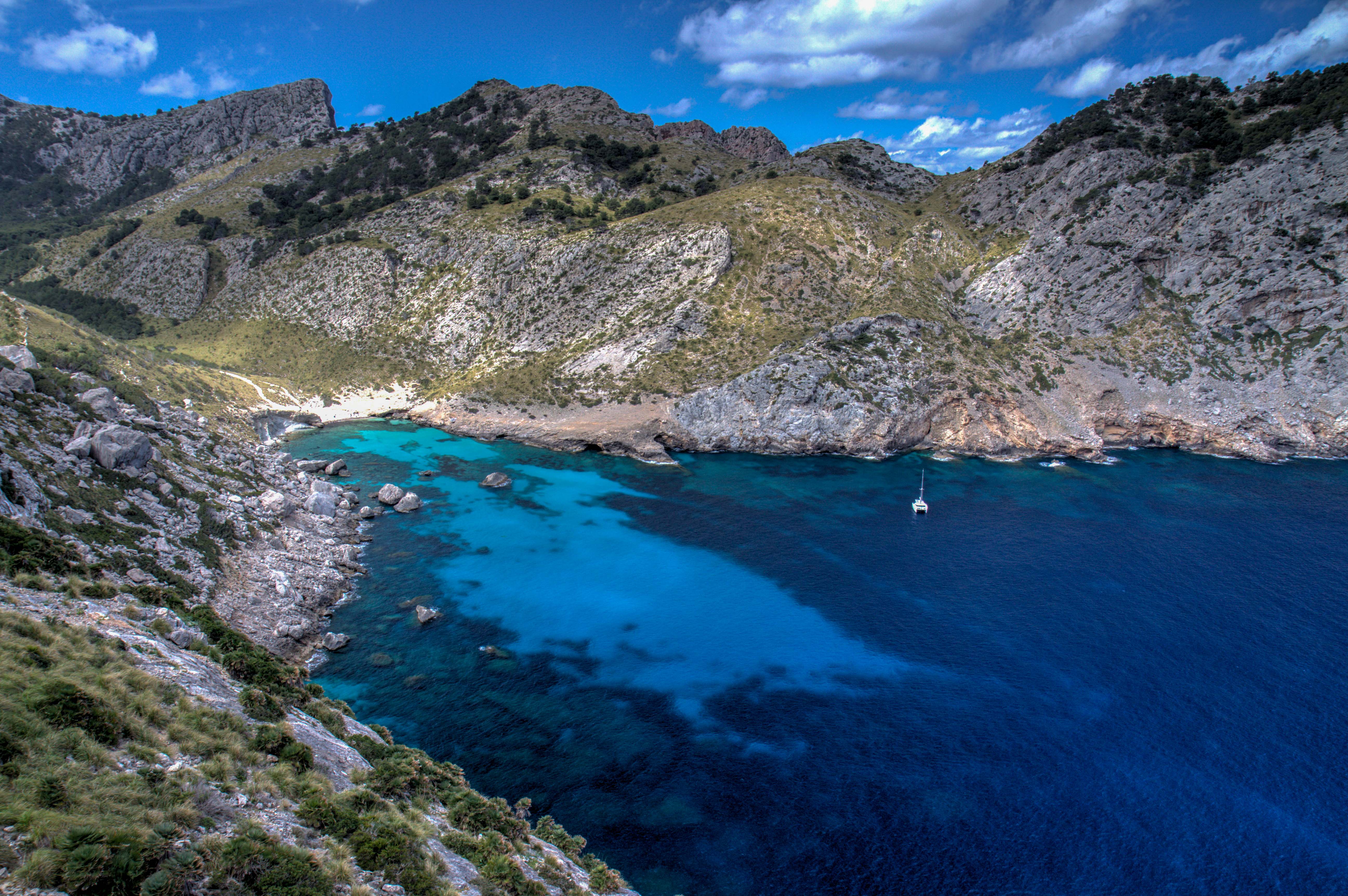
Cap Formentor, Mallorca, Spain
Mallorca, Spain
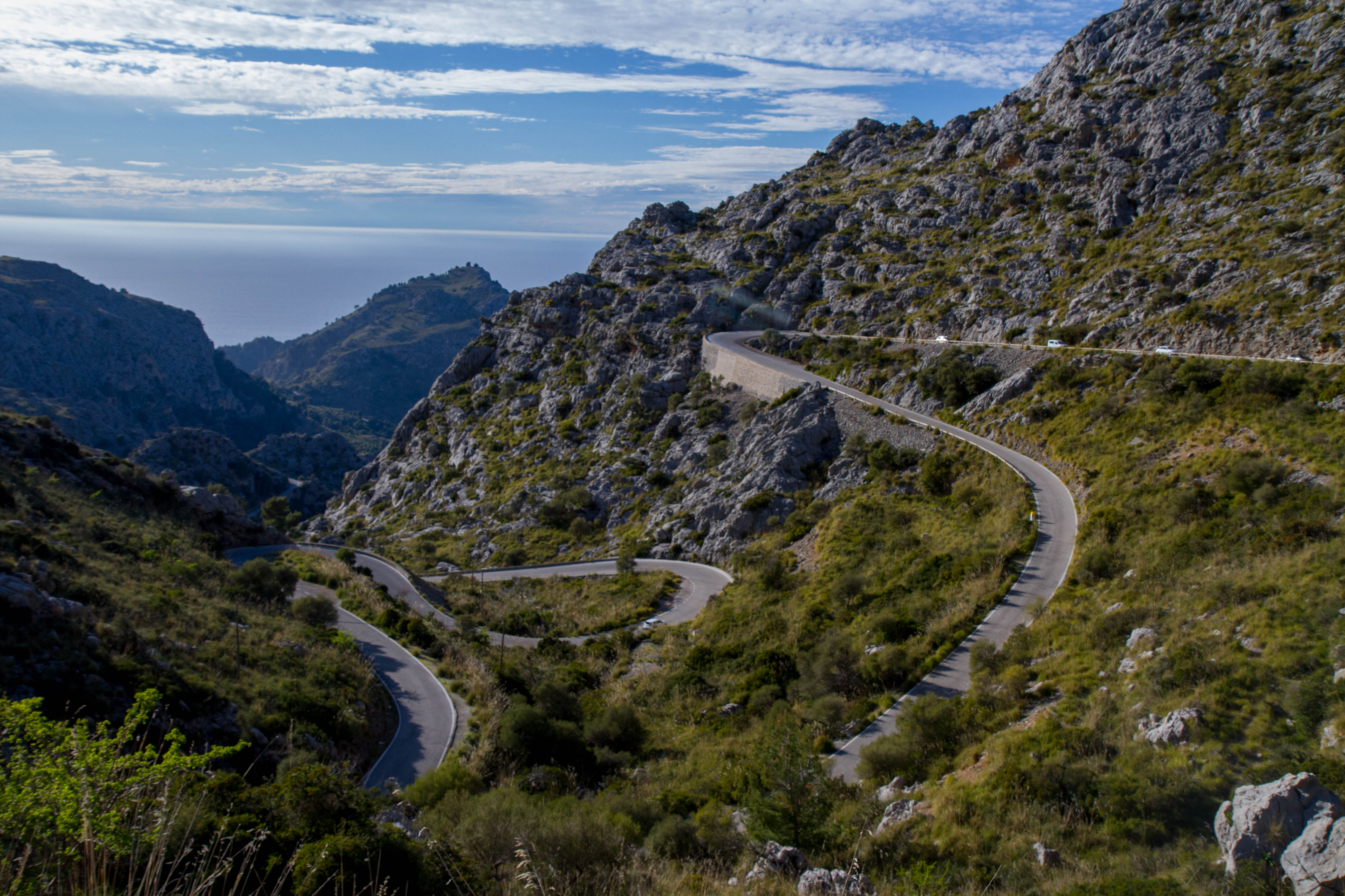
Plataforma des Funicular | Ma-2141
The MA-2141 road leads down from the Serra de Tramuntana down to the coastal town of Cala Tuent.
If you down have time to ride the whole Serra de Tramuntana, definitely check out this small section.
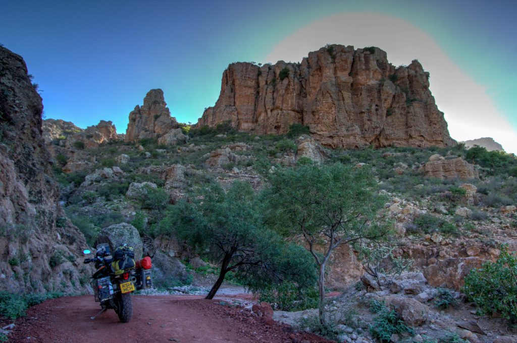
Baja California defines the top (Northern) part of the second longest peninsula in the world. It borders USA to the North and Baja California Sur to the South. Great trails, surf, calming bays, tacos, beer and endless camping options awaits the adventurer.
As the peninsula is split into two states, you’ll probably be riding all of Baja and not just this state. Be sure to also checkout the post on Baja California Sur. This will only focus on the Baja California State. Which is the northern half of ‘Baja’.
Time Warp of the Ride around Sierra de San Pedro Martir
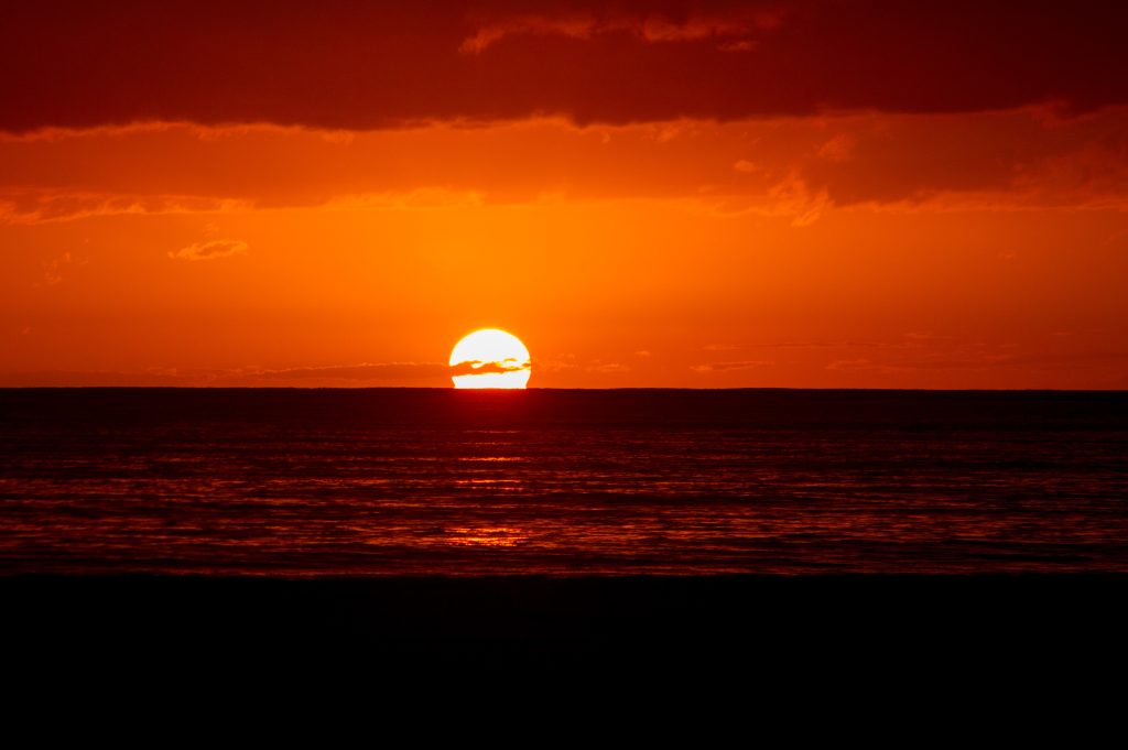
Sunset over the Sierra
Drone flight over the top of the Sierra
Bahía de los Ángeles
Refers to both the small town and the bay it sits on. Located at the east end of Federal Highway 12 about 42 miles (68 km) from the ParadorPunta Prieta junction on Federal Highway 1 (Mex1) This tiny town has a strong focus on Eco-tourism and runs at a very relaxed pace 🙂
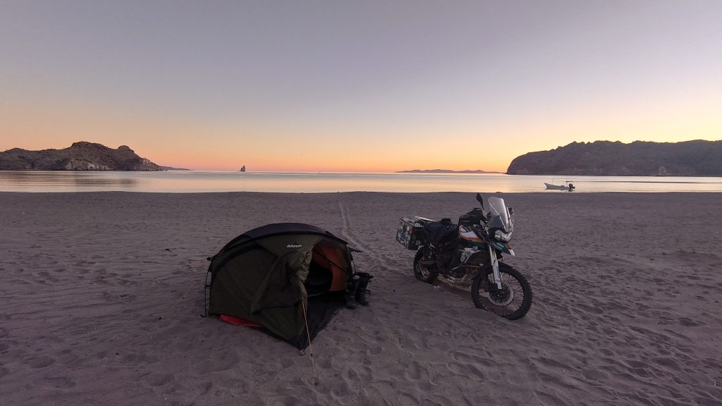
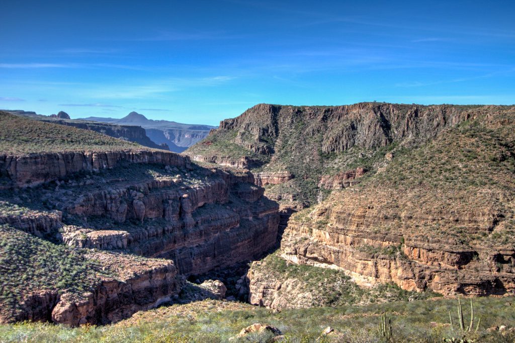
Baja California Sur defines the bottom (Southern) end of the second longest peninsula in the world. It ends in the tourist centric, Cabo San Lucas, and Baja California State in the North. Great trails, surf, calming bays, tacos, wild-life, beer and endless camping options awaits the adventurer.
As the peninsula is split into two states, you’ll probably be riding all of Baja and not just this state. Be sure to also checkout the post on Baja California (North). This will only focus on the Baja California Sur. Which is the Southern half of ‘Baja’.
Wild Camping, Sea of Cortez, Baja California, Mexico
Highlights
Loreto
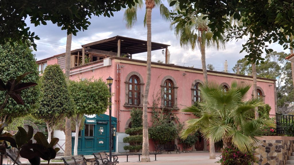
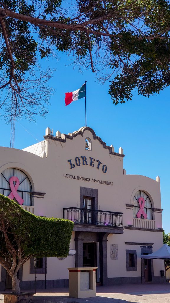
Loreto is an oasis trapped between the waters of Mar de Cortés and the desert lands of Sierra Giganta. It’s the remote land that the Jesuits used to start their pilgrimage to evangelize and colonize Baja and Alta California. But it’s also a Pueblo Mágico (Magical Town) of Baja California Sur that has the joy of being gray and blue whales. Although it seems to be away from everything, there is much to do in Loreto: the Main Square is simple, but with a colonial charm that encourages you to get lost in its cobbled walkways that trace the path to the baroque facade of the Iglesia de Nuestra Señora de Loreto, the Museo de las Misiones (Museum of the Missions) and the handicraft shops, restaurants and coffee shops.
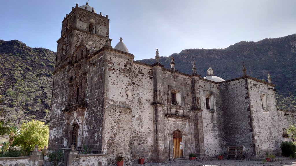
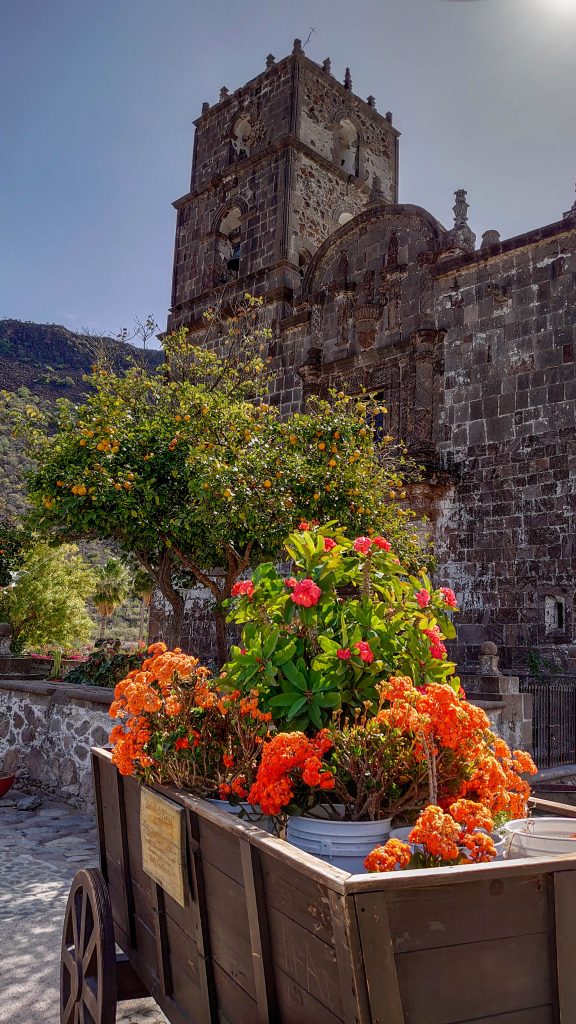
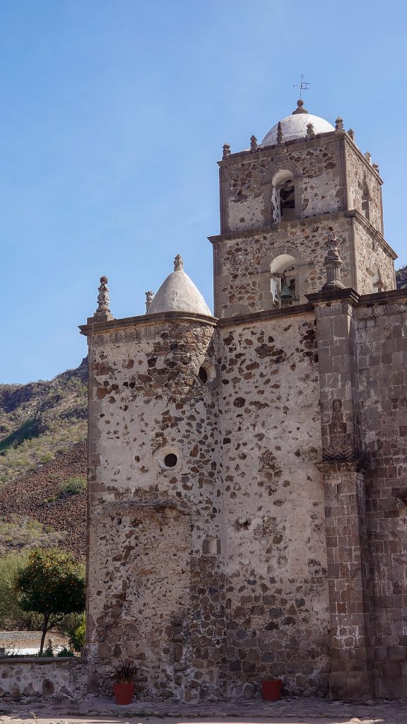
A visit to the remote village of San Javier is one of the most popular side-trips in southern Baja. The drive to San Javier, from Loreto, is a stunning ride from the coast via some canyons to the small, mission town.
The mission, which is officially named Misión San Francisco Xavier de Viggé-Biaundó, is one of the best-preserved missions in Baja. The present mission dates back to 1758 and has survived the years so well that it is still in use as a church.
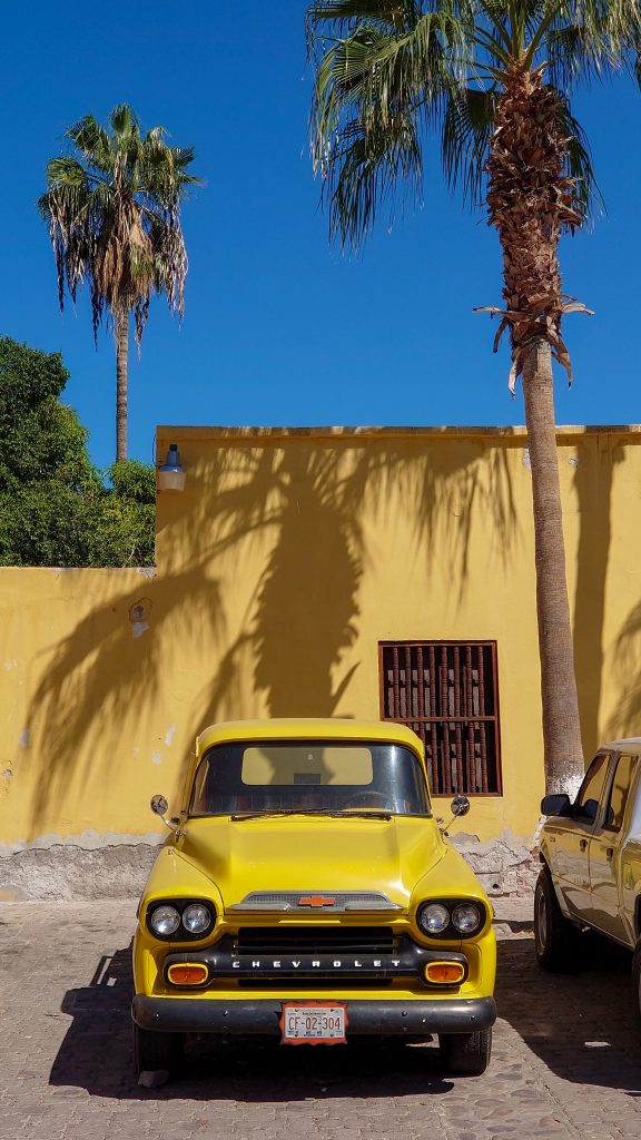
The village that surrounds the mission is small, even by Baja standards, with a population of less than 150. San Javier can easily make you think that time machines really do exist. If it weren’t for the vehicles in the village, you could easily imagine that you set the date on your time machine for 1875.
Misión San Francisco Xavier de Viggé-Biaundó (San Javier), Baja California Sur, Mexico
Misión San Francisco Xavier de Viggé-Biaundó (San Javier), Baja California Sur, Mexico
Misión San Francisco Xavier de Viggé-Biaundó (San Javier), Baja California Sur, Mexico
La Paz
At first glance La Paz is a sprawling, slightly dingy city, but after an hour or so you’ll discover there’s a lot more to it. Laid-back, old-world beauty can be found on a stroll along the waterfront malecón or in the older architecture around the Plaza Constitución; chichi restaurants, cafes and bars cunningly hide in between the cracks. It’s a surprisingly international town – you’re as likely to hear French, Portuguese or Italian here as English or Spanish, and yet paradoxically it’s the most ‘Mexican’ city in all of Baja.
In 1862, silver and gold were discovered in the southern Baja California Sur mountains, leading miners from Mexico and the United States to rush to settle in El Triunfo in a gold rush. Once the largest city in Baja California Sur, it was home to more than 10,000 miners. In its heyday the town was a cultural center, the first in the region to install electricity and telephones. Pianos and other instruments were brought to El Triunfo from around the world and a piano museum still exists. When mines shut down in 1926, most of the townspeople left to look for work elsewhere. The 2010 census reported a population of 327 inhabitants.
Today, El Triunfo is one of the best preserved 19th and 20th century mining communities in North America and remains an important site for archaeological research. A notable feature of the town is the 47-meter-high smokestack constructed in 1890 for El Progreso Mining Company. It is called “La Ramona”, named after Saint Raymond, on whose feast day the project was completed on.
Sierra de la laguna sits in the middle of on the bottom road loop of La Paz, Cabo San Lucas and Cabo Pulmo. It contains many valleys providing great opportunities to hike and swim.
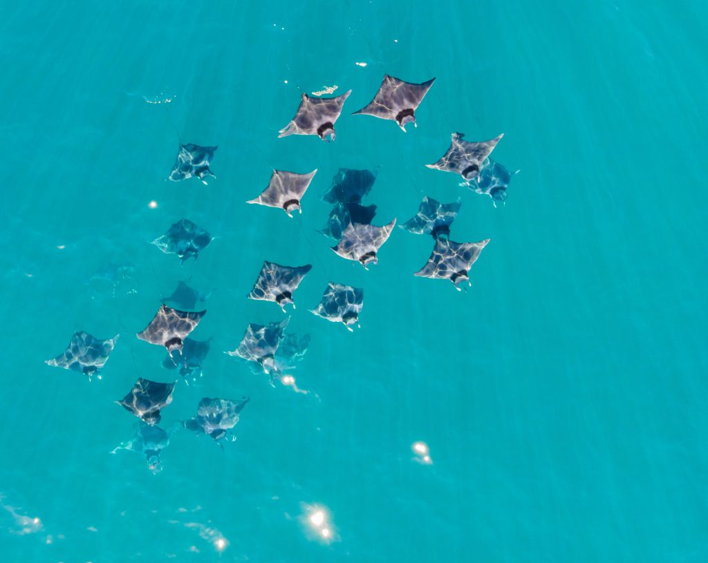
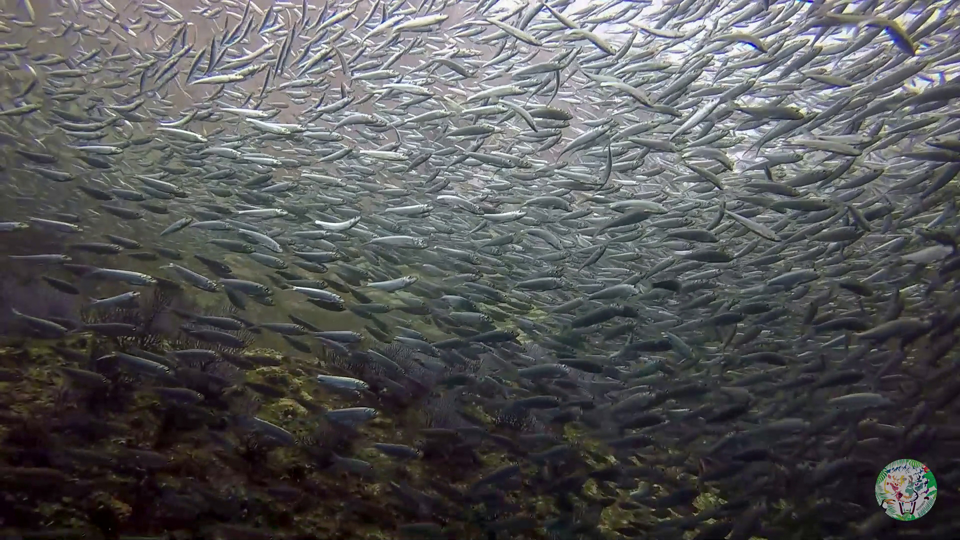
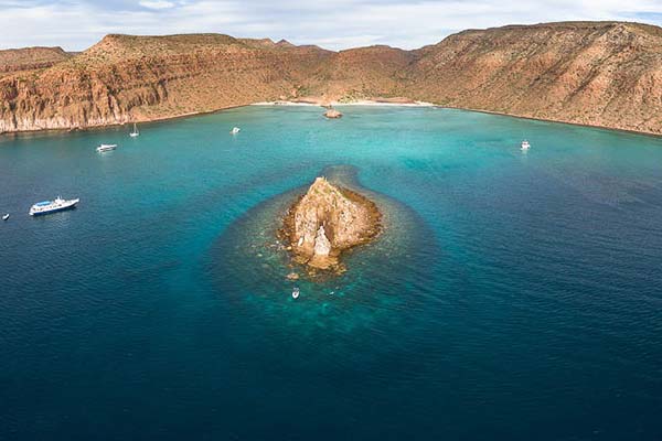
Just a short boat ride from La Paz lies a UNESCO world heritage site known as Espiritu Santo Island. Above the water there is a huge variety of birds and the famous colony of sea lions. Below the surface lies a spectacular coral reef attracting biodiversity sure to make your diving unforgettable.
The Seamount is located 8.2 miles, 032º from Los Islotes and is sometimes called the “Marisla Seamount”. There are three distinct underwater peaks arrayed along a three hundred yard line running 120º – 300º, the northernmost rising to within 83 feet of the surface. The central peak to within 52 feet and the southern to within 69 feet. The central peak, with it’s shallow depths and relatively flat top, is the primary dive site and anchoring location. Source
Dive Video (El Bajo)
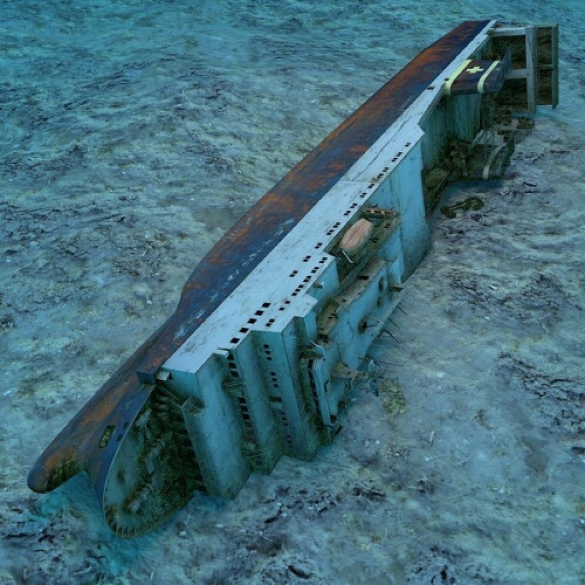
Sites (Fang Ming Wreck)
The Fang Ming wreck is a purpose sank dive site off the island. In 1995, The boat was used by a number of Chinese citizens attempting to flee China. Once discovered by the Mexican Navy, the vessel was confiscated and after no one collected the boat, it was prepared to be an artificial reef.